Converse is a town in Richland Township, Grant County, and Jackson Township, Miami County, in the U.S. state of Indiana. The population was 1,161 at the 2020 census.
| Name: | Converse town |
|---|---|
| LSAD Code: | 43 |
| LSAD Description: | town (suffix) |
| State: | Indiana |
| County: | Grant County, Miami County |
| Elevation: | 830 ft (253 m) |
| Total Area: | 0.99 sq mi (2.57 km²) |
| Land Area: | 0.99 sq mi (2.56 km²) |
| Water Area: | 0.00 sq mi (0.01 km²) |
| Total Population: | 1,161 |
| Population Density: | 1,173.91/sq mi (453.30/km²) |
| ZIP code: | 46919 |
| Area code: | 765 |
| FIPS code: | 1814986 |
| GNISfeature ID: | 432907 |
| Website: | www.townofconverse.com |
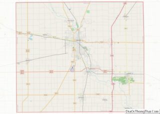
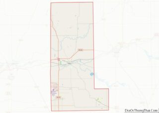
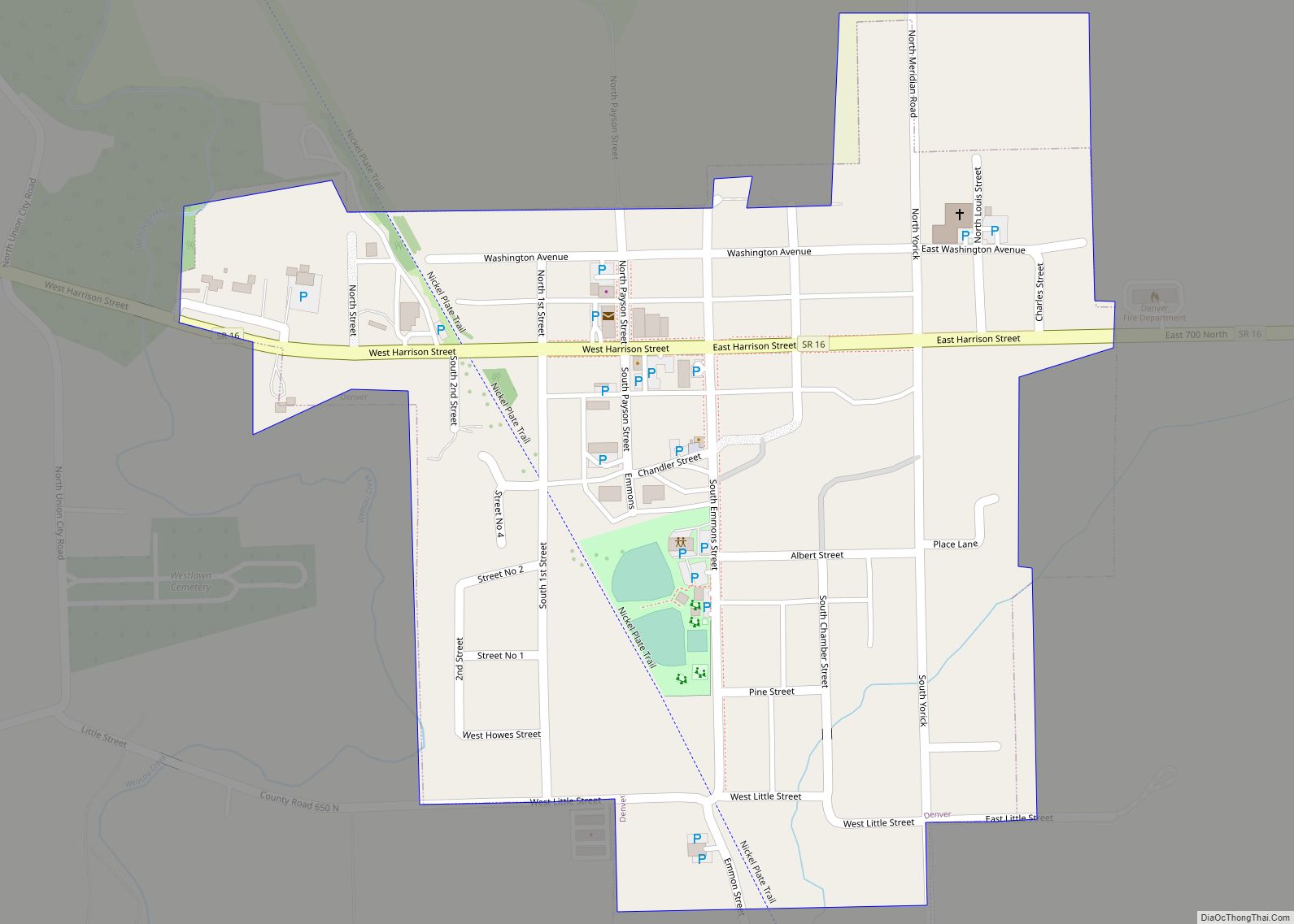
Online Interactive Map
Click on ![]() to view map in "full screen" mode.
to view map in "full screen" mode.
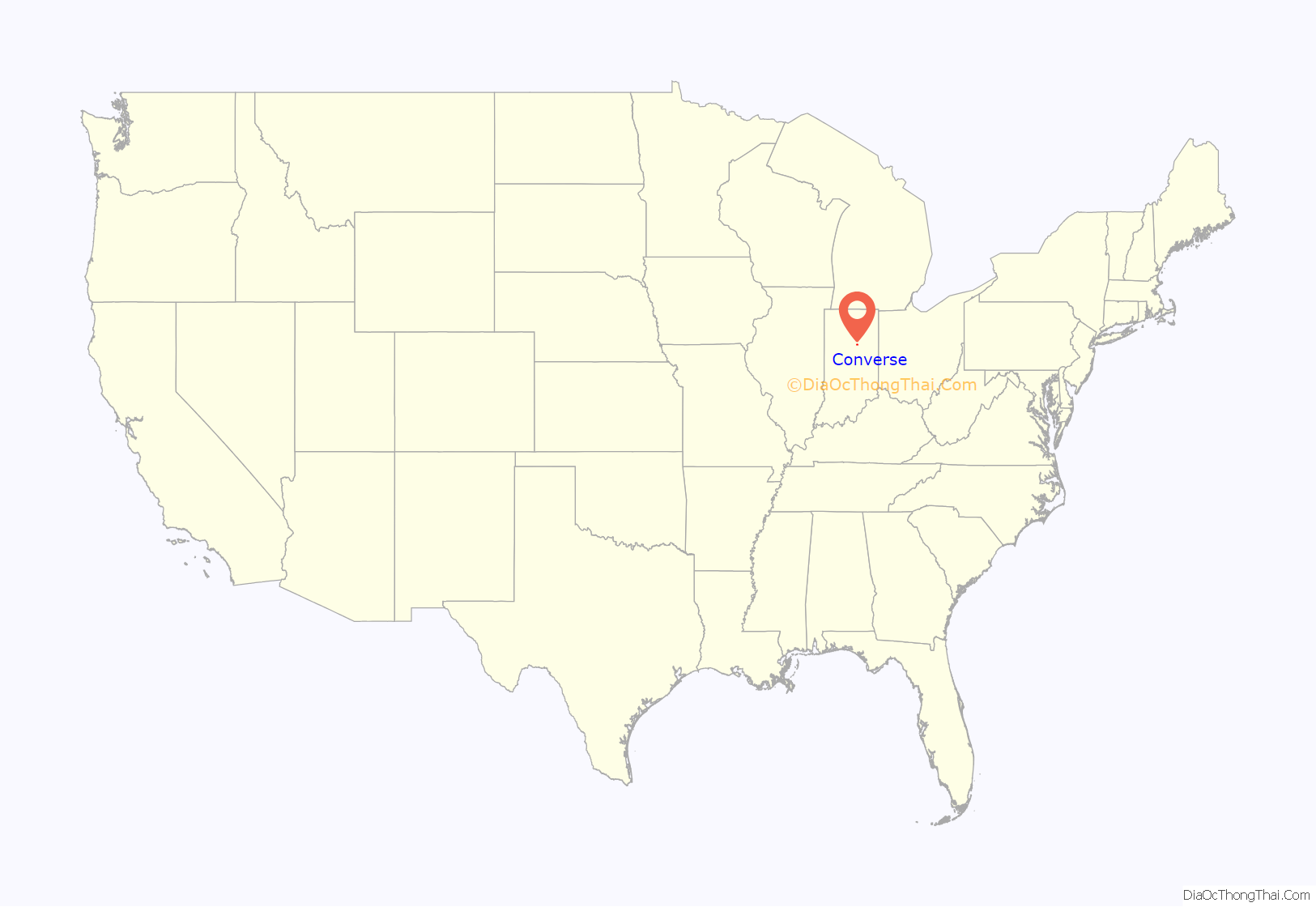
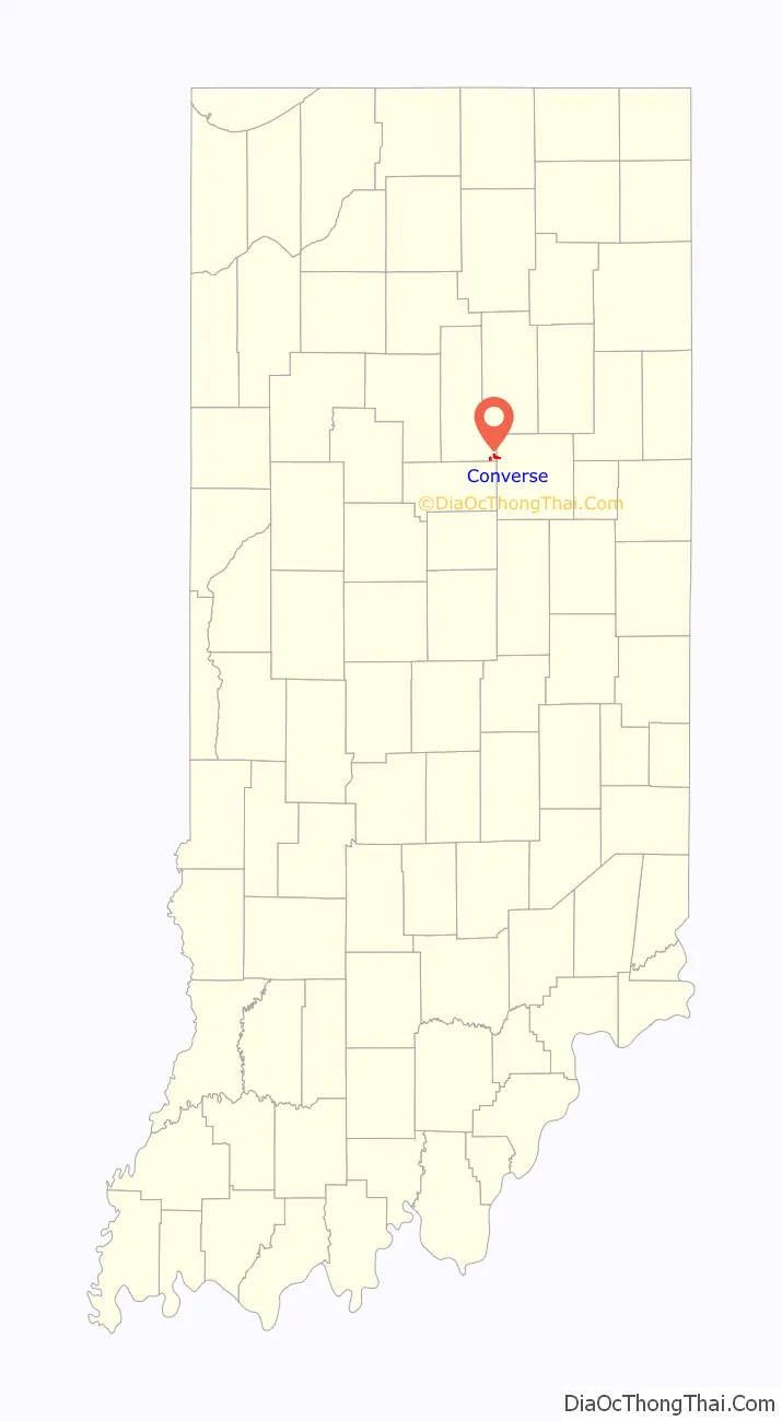
Converse location map. Where is Converse town?
History
Converse was originally called “Xenia”, and under the latter name was laid out in 1849. J. N. Converse platted an addition in 1867.
The Converse Depot and Converse-Jackson Township Public Library are listed on the National Register of Historic Places.
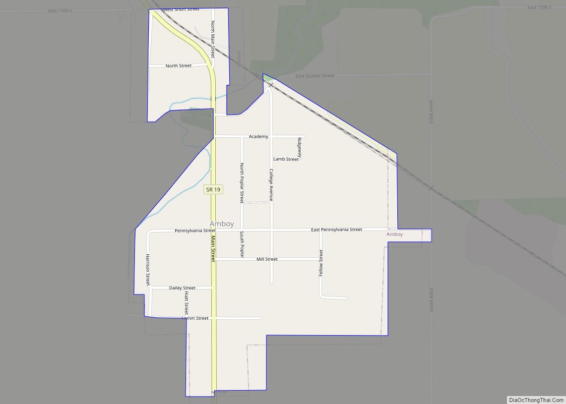
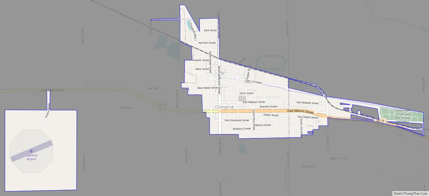
Converse Road Map
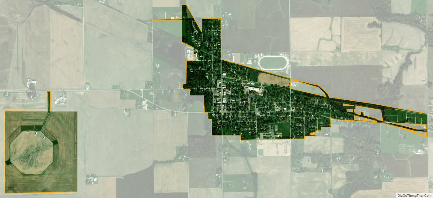
Converse city Satellite Map
Geography
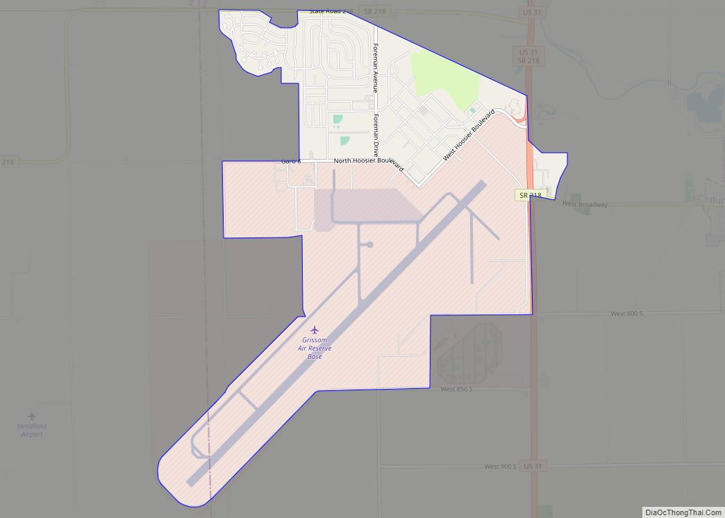
Converse is located in the southeast corner of Miami County and in northwestern Grant County at 40°34′47″N 85°52′8″W / 40.57972°N 85.86889°W / 40.57972; -85.86889 (40.579654, -85.869022). Indiana State Roads 18 and 19 pass through the center of town together as Marion Street, splitting 2.5 miles (4.0 km) to the east in Mier, and 3 miles (5 km) to the west. SR 19 leads northwest 18 miles (29 km) to Peru, the Miami county seat, and southeast 7 miles (11 km) to Swayzee, while SR 18 leads east 12 miles (19 km) to Marion, the Grant county seat, and west 17 miles (27 km) to Galveston. Converse Airport is 1 mile (1.6 km) west of the town.
According to the U.S. Census Bureau, Converse has a total area of 0.99 square miles (2.56 km), of which 0.002 square miles (0.005 km), or 0.20%, are water. Little Pipe Creek runs along the western border of the town, and Taylor Creek crosses the eastern extension of the town. Both creeks run north to Pipe Creek, a northwest-flowing tributary of the Wabash River.
See also
Map of Indiana State and its subdivision:- Adams
- Allen
- Bartholomew
- Benton
- Blackford
- Boone
- Brown
- Carroll
- Cass
- Clark
- Clay
- Clinton
- Crawford
- Daviess
- De Kalb
- Dearborn
- Decatur
- Delaware
- Dubois
- Elkhart
- Fayette
- Floyd
- Fountain
- Franklin
- Fulton
- Gibson
- Grant
- Greene
- Hamilton
- Hancock
- Harrison
- Hendricks
- Henry
- Howard
- Huntington
- Jackson
- Jasper
- Jay
- Jefferson
- Jennings
- Johnson
- Knox
- Kosciusko
- LaGrange
- Lake
- Lake Michigan
- LaPorte
- Lawrence
- Madison
- Marion
- Marshall
- Martin
- Miami
- Monroe
- Montgomery
- Morgan
- Newton
- Noble
- Ohio
- Orange
- Owen
- Parke
- Perry
- Pike
- Porter
- Posey
- Pulaski
- Putnam
- Randolph
- Ripley
- Rush
- Saint Joseph
- Scott
- Shelby
- Spencer
- Starke
- Steuben
- Sullivan
- Switzerland
- Tippecanoe
- Tipton
- Union
- Vanderburgh
- Vermillion
- Vigo
- Wabash
- Warren
- Warrick
- Washington
- Wayne
- Wells
- White
- Whitley
- Alabama
- Alaska
- Arizona
- Arkansas
- California
- Colorado
- Connecticut
- Delaware
- District of Columbia
- Florida
- Georgia
- Hawaii
- Idaho
- Illinois
- Indiana
- Iowa
- Kansas
- Kentucky
- Louisiana
- Maine
- Maryland
- Massachusetts
- Michigan
- Minnesota
- Mississippi
- Missouri
- Montana
- Nebraska
- Nevada
- New Hampshire
- New Jersey
- New Mexico
- New York
- North Carolina
- North Dakota
- Ohio
- Oklahoma
- Oregon
- Pennsylvania
- Rhode Island
- South Carolina
- South Dakota
- Tennessee
- Texas
- Utah
- Vermont
- Virginia
- Washington
- West Virginia
- Wisconsin
- Wyoming