Crows Nest is a town in Washington Township, Marion County, Indiana, United States, approximately 7 miles (11 km) north of downtown Indianapolis. The population was 67 at the 2020 census. It has existed as an “included town” since 1970, when it was incorporated into Indianapolis as part of Unigov. It is part of Indianapolis, but retains a functioning town government under IC 36-3-1-11.
| Name: | Crows Nest town |
|---|---|
| LSAD Code: | 43 |
| LSAD Description: | town (suffix) |
| State: | Indiana |
| County: | Marion County |
| Elevation: | 774 ft (236 m) |
| Total Area: | 0.43 sq mi (1.11 km²) |
| Land Area: | 0.43 sq mi (1.11 km²) |
| Water Area: | 0.00 sq mi (0.00 km²) |
| Total Population: | 67 |
| Population Density: | 156.18/sq mi (60.26/km²) |
| ZIP code: | 46228 |
| FIPS code: | 1816156 |
| GNISfeature ID: | 0433220 |
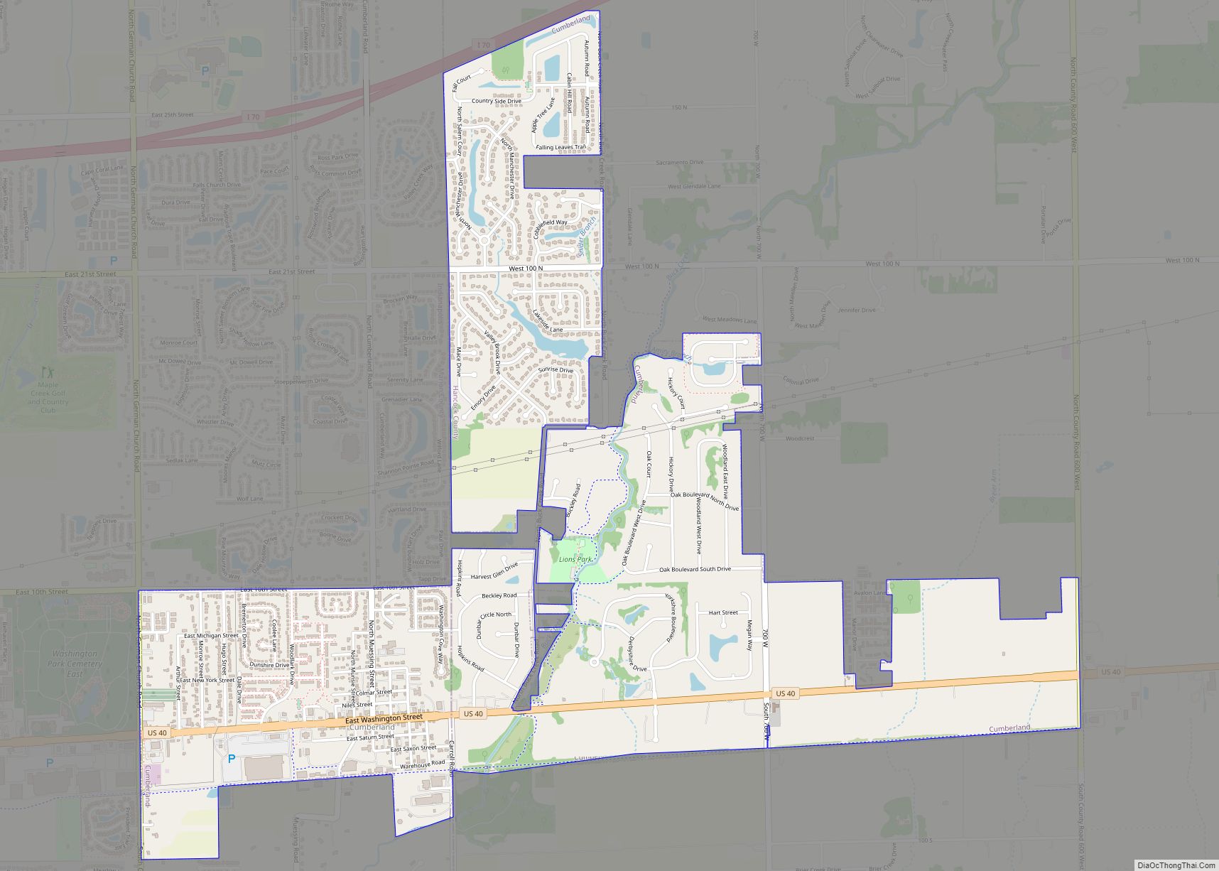
Online Interactive Map
Click on ![]() to view map in "full screen" mode.
to view map in "full screen" mode.
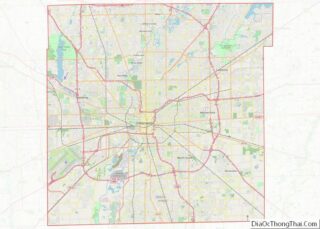
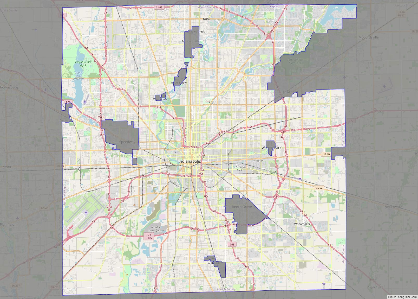
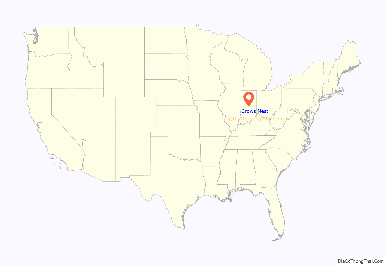
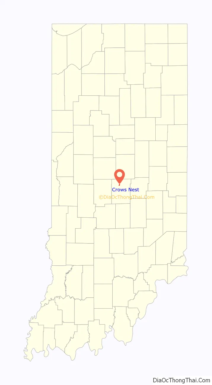
Crows Nest location map. Where is Crows Nest town?
History
Crows Nest was founded in 1927 and supposedly was named from crows nesting nearby.
The Town of Crows Nest Historic District is a 65-acre (26 ha) historic district that was listed on the National Register of Historic Places in 2000. It encompasses 29 contributing buildings, five contributing sites, four contributing structures, and three contributing objects in an exclusive residential enclave of Indianapolis. The district developed between about 1905 and 1950, and includes representative examples of Tudor Revival, Colonial Revival, Renaissance Revival, and Art Deco style architecture. Notable contributing resources include Vellameda (1904-1905), W. Hathaway Simmons House (1914), Walden Estate (1927), Lane’s End Estate (1928), Goodman House (1927), and Eli Lilly House (1930).
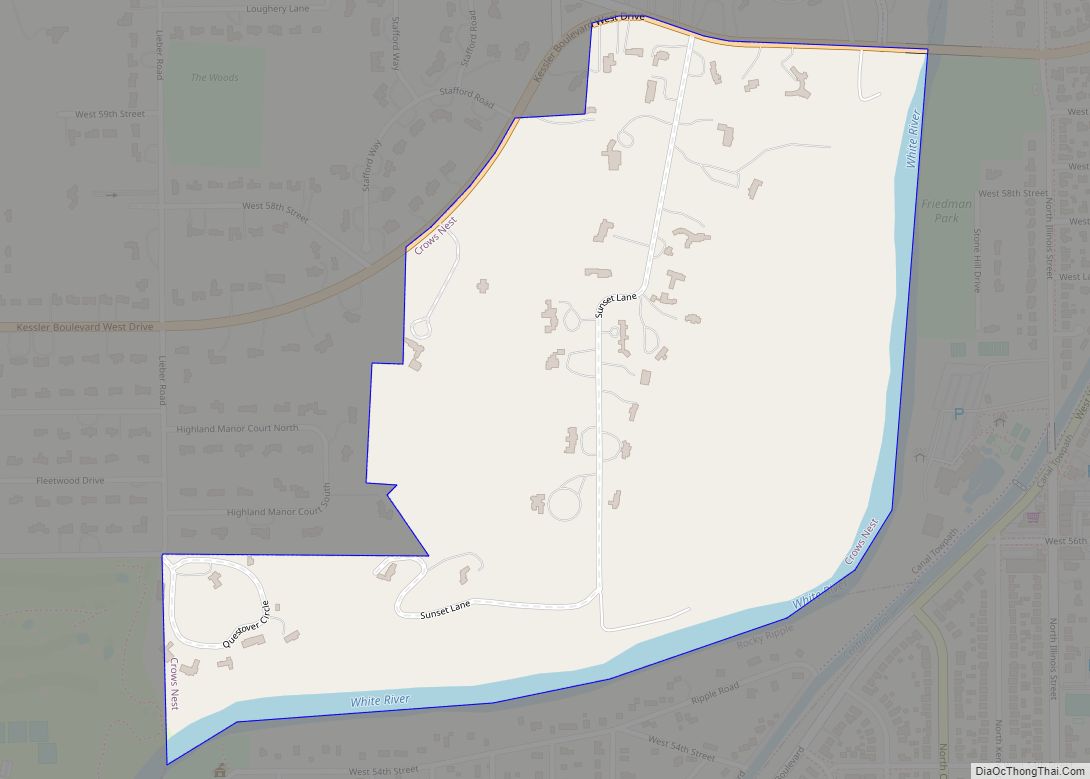
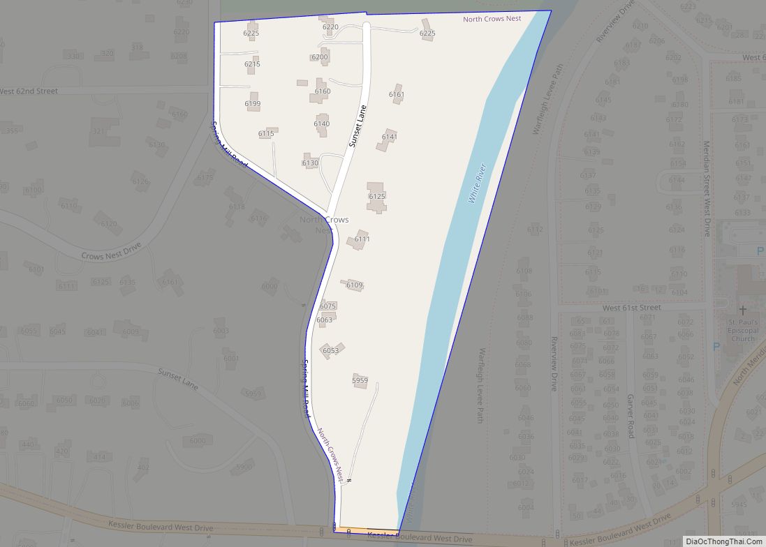
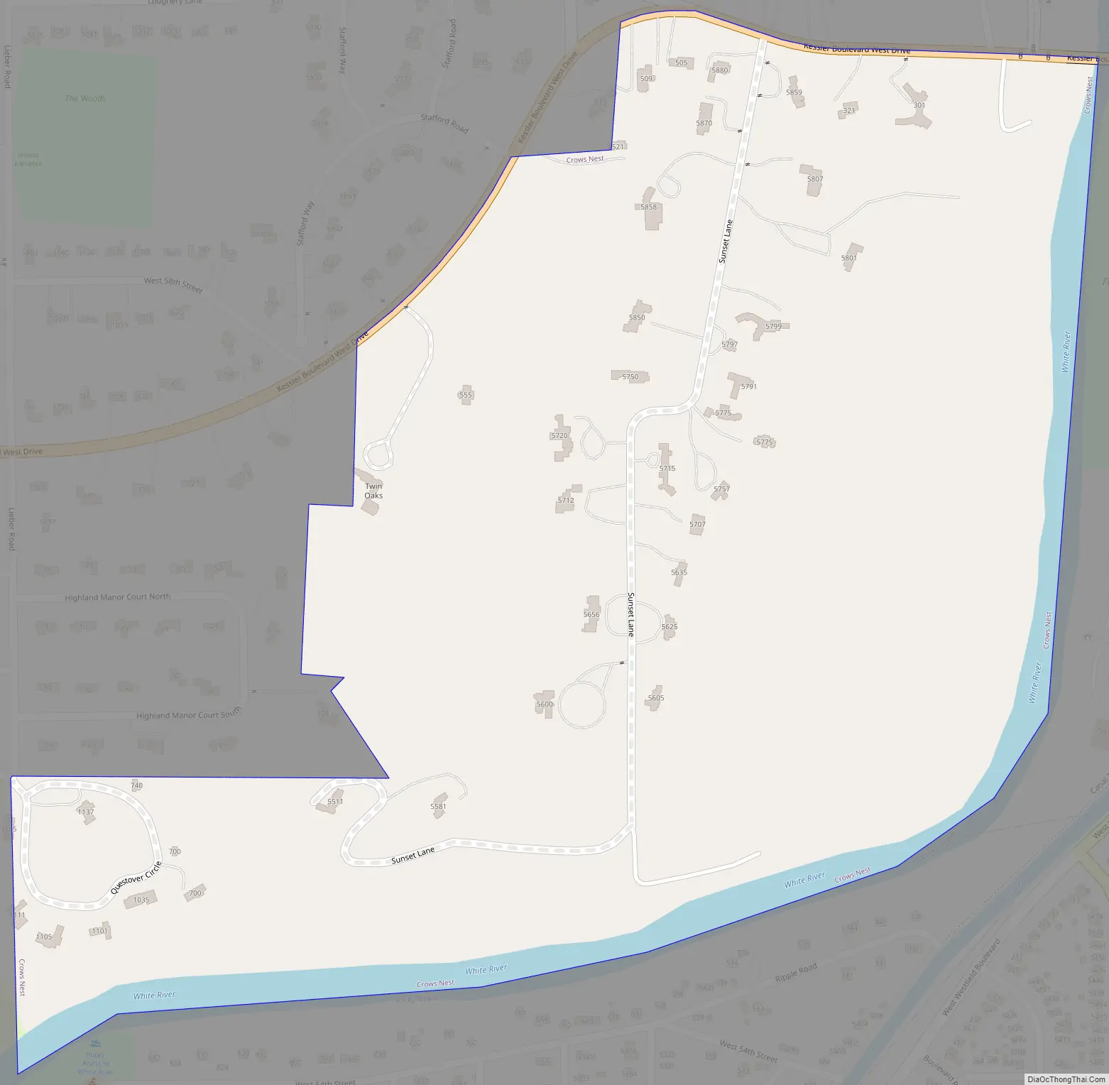
Crows Nest Road Map
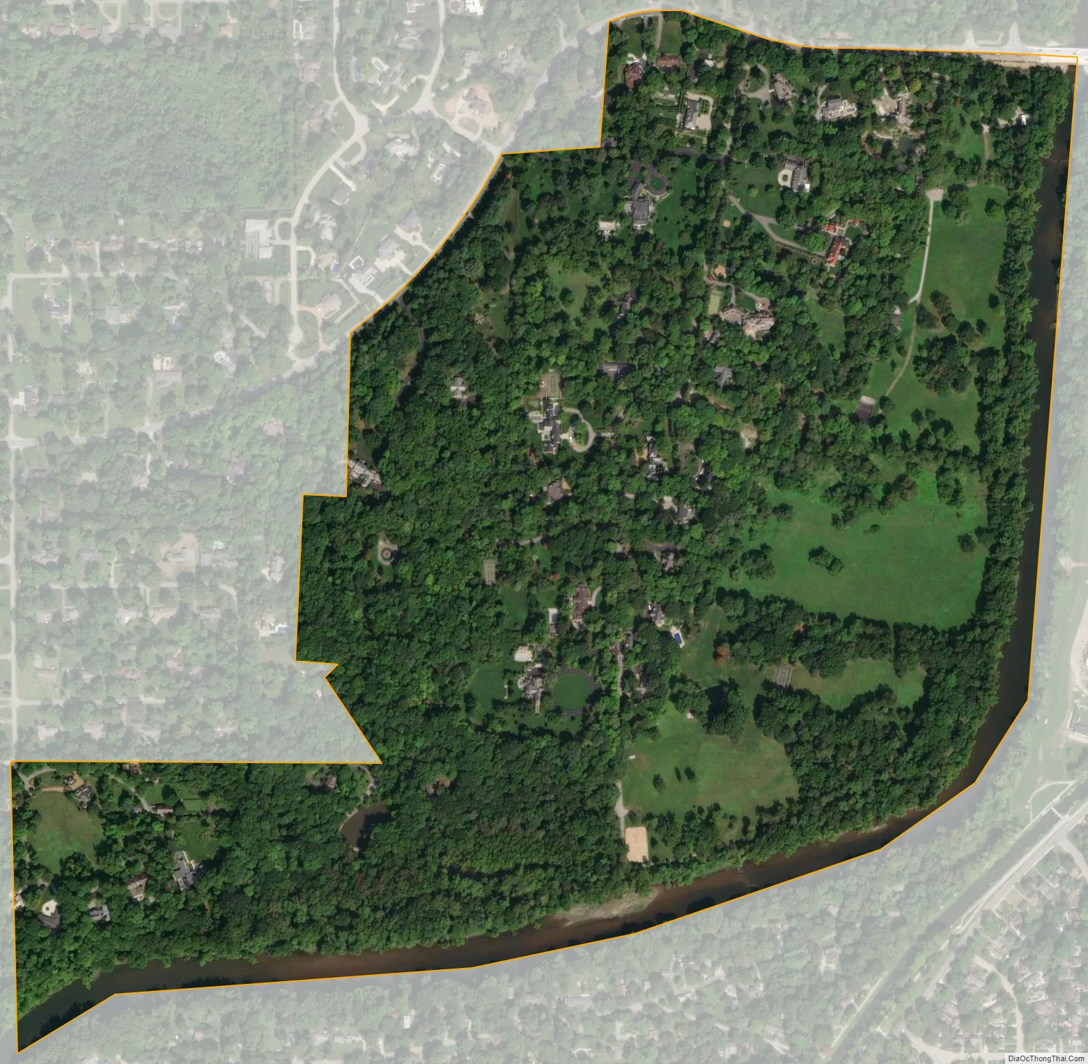
Crows Nest city Satellite Map
Geography
Crows Nest is located in northern Marion County at 39°51′8″N 86°10′22″W / 39.85222°N 86.17278°W / 39.85222; -86.17278 (39.852208, -86.172811). It occupies 50-foot (15 m) or higher bluffs on the west side of the White River. The town is bordered to the north by the town of North Crows Nest and to the south by the town of Rocky Ripple. Kessler Boulevard W Drive forms the northern and northwest border of the town, and there are just two streets fully within the town: Sunset Lane south of Kessler Boulevard and Questover Circle.
According to the U.S. Census Bureau, Crows Nest has a total area of 0.43 square miles (1.11 km), all land.
See also
Map of Indiana State and its subdivision:- Adams
- Allen
- Bartholomew
- Benton
- Blackford
- Boone
- Brown
- Carroll
- Cass
- Clark
- Clay
- Clinton
- Crawford
- Daviess
- De Kalb
- Dearborn
- Decatur
- Delaware
- Dubois
- Elkhart
- Fayette
- Floyd
- Fountain
- Franklin
- Fulton
- Gibson
- Grant
- Greene
- Hamilton
- Hancock
- Harrison
- Hendricks
- Henry
- Howard
- Huntington
- Jackson
- Jasper
- Jay
- Jefferson
- Jennings
- Johnson
- Knox
- Kosciusko
- LaGrange
- Lake
- Lake Michigan
- LaPorte
- Lawrence
- Madison
- Marion
- Marshall
- Martin
- Miami
- Monroe
- Montgomery
- Morgan
- Newton
- Noble
- Ohio
- Orange
- Owen
- Parke
- Perry
- Pike
- Porter
- Posey
- Pulaski
- Putnam
- Randolph
- Ripley
- Rush
- Saint Joseph
- Scott
- Shelby
- Spencer
- Starke
- Steuben
- Sullivan
- Switzerland
- Tippecanoe
- Tipton
- Union
- Vanderburgh
- Vermillion
- Vigo
- Wabash
- Warren
- Warrick
- Washington
- Wayne
- Wells
- White
- Whitley
- Alabama
- Alaska
- Arizona
- Arkansas
- California
- Colorado
- Connecticut
- Delaware
- District of Columbia
- Florida
- Georgia
- Hawaii
- Idaho
- Illinois
- Indiana
- Iowa
- Kansas
- Kentucky
- Louisiana
- Maine
- Maryland
- Massachusetts
- Michigan
- Minnesota
- Mississippi
- Missouri
- Montana
- Nebraska
- Nevada
- New Hampshire
- New Jersey
- New Mexico
- New York
- North Carolina
- North Dakota
- Ohio
- Oklahoma
- Oregon
- Pennsylvania
- Rhode Island
- South Carolina
- South Dakota
- Tennessee
- Texas
- Utah
- Vermont
- Virginia
- Washington
- West Virginia
- Wisconsin
- Wyoming