Kirklin is a town in Kirklin Township, Clinton County, Indiana, United States. The population was 788 at the 2010 census. The town was named for Nathan Kirk, a local pioneer settler.
| Name: | Kirklin town |
|---|---|
| LSAD Code: | 43 |
| LSAD Description: | town (suffix) |
| State: | Indiana |
| County: | Clinton County |
| Founded: | 1830s |
| Incorporated: | 1876 |
| Elevation: | 919 ft (280 m) |
| Total Area: | 0.42 sq mi (1.09 km²) |
| Land Area: | 0.42 sq mi (1.09 km²) |
| Water Area: | 0.00 sq mi (0.00 km²) |
| Total Population: | 710 |
| Population Density: | 1,686.46/sq mi (651.10/km²) |
| ZIP code: | 46050 |
| Area code: | 765 |
| FIPS code: | 1839942 |
| GNISfeature ID: | 0437357 |
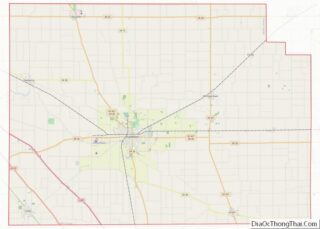
Online Interactive Map
Click on ![]() to view map in "full screen" mode.
to view map in "full screen" mode.
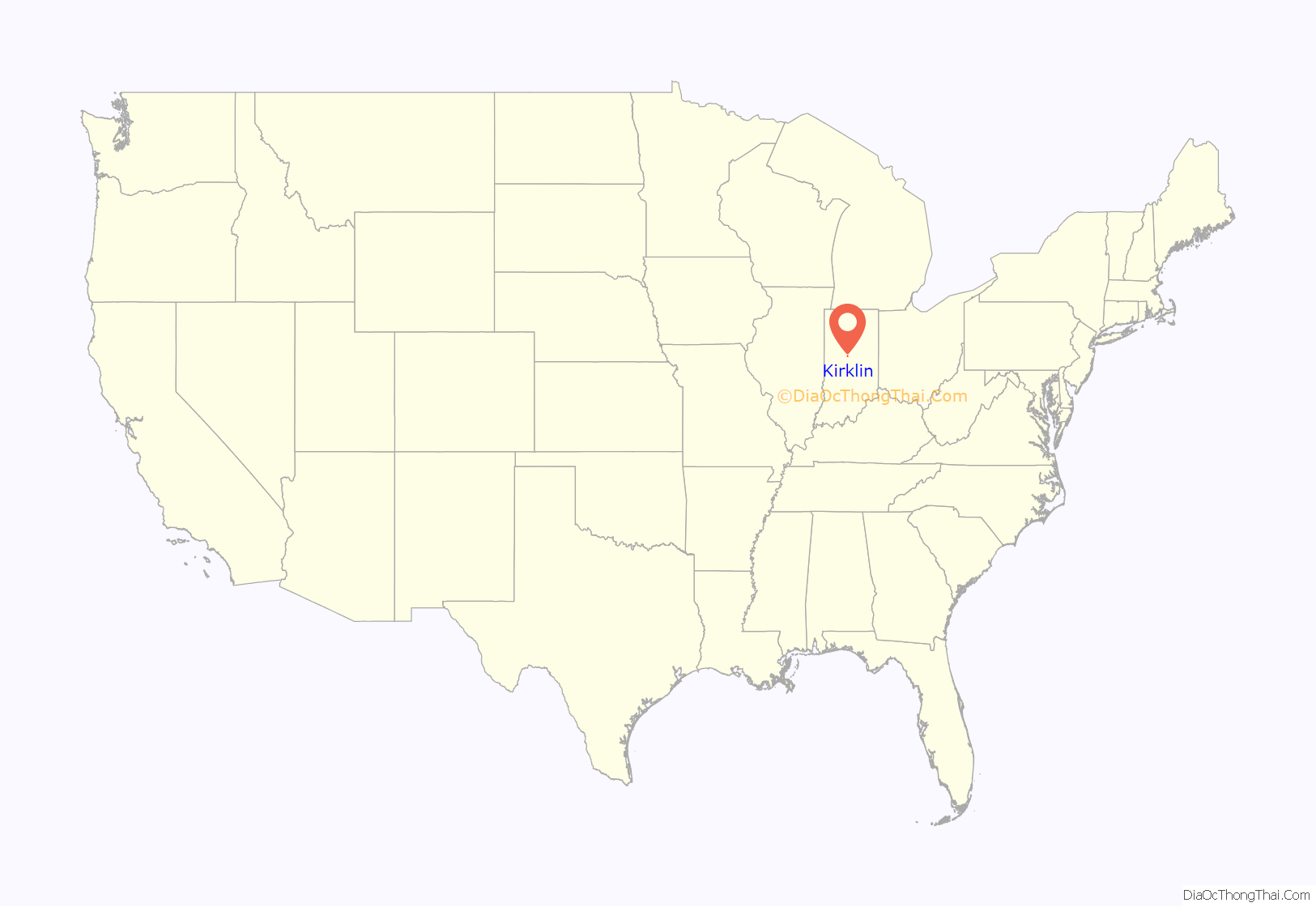
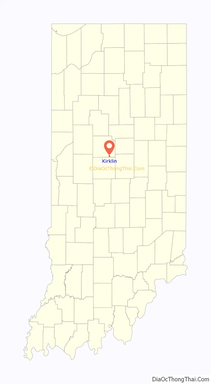
Kirklin location map. Where is Kirklin town?
History
Nathan Kirk, the first white settler in eastern Clinton County, laid out the town of Kirklin in the early 1830s, the original plat consisting a row of seven blocks on either side of the Michigan Road (Main Street). An addition filed on October 24, 1836 added blocks to the east, west and south sides of the original plat. Edward Miller established the first general store in a log building and William Wynkoop built the first hotel; other early businesses included Hiram Dougherty’s cabinet shop, James Hollcraft’s bar, John Heffner’s blacksmith shop, Columbus Kemp’s tannery and M. Z. Saylor (physician).
A total of 224 residents signed a petition to incorporate Kirklin, and an election held April 1, 1876 unanimously approved incorporation. On June 8, 1876 the county commissioners declared the town of Kirklin incorporated.
In the early 20th century, Kirklin held horse shows and street fairs along its brick-paved Main Street.
Kirklin was also commonly known as Kirk’s Cross Roads.
The Kirklin Public Library was listed on the National Register of Historic Places in 1995.
Kirklin Road Map
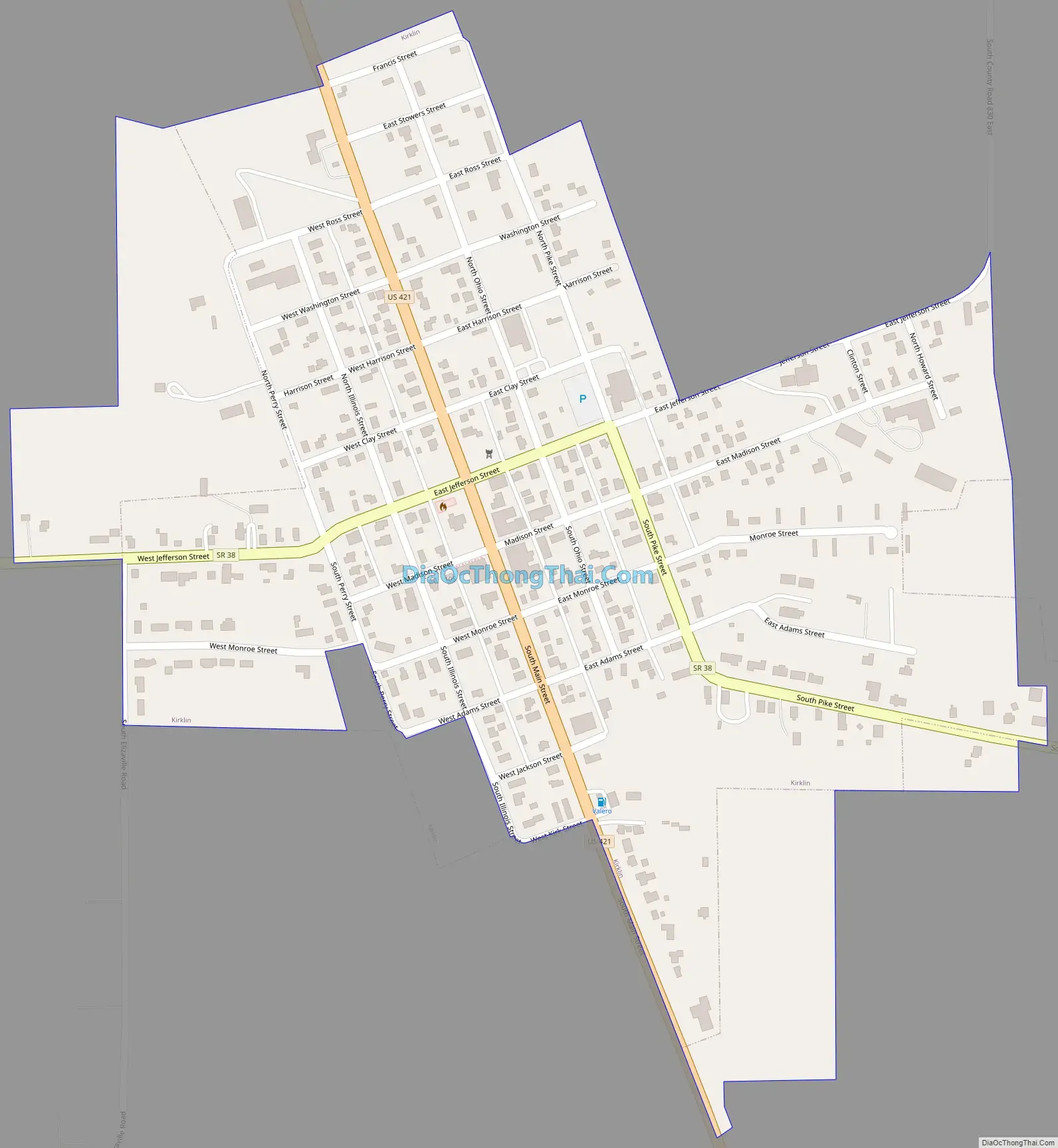
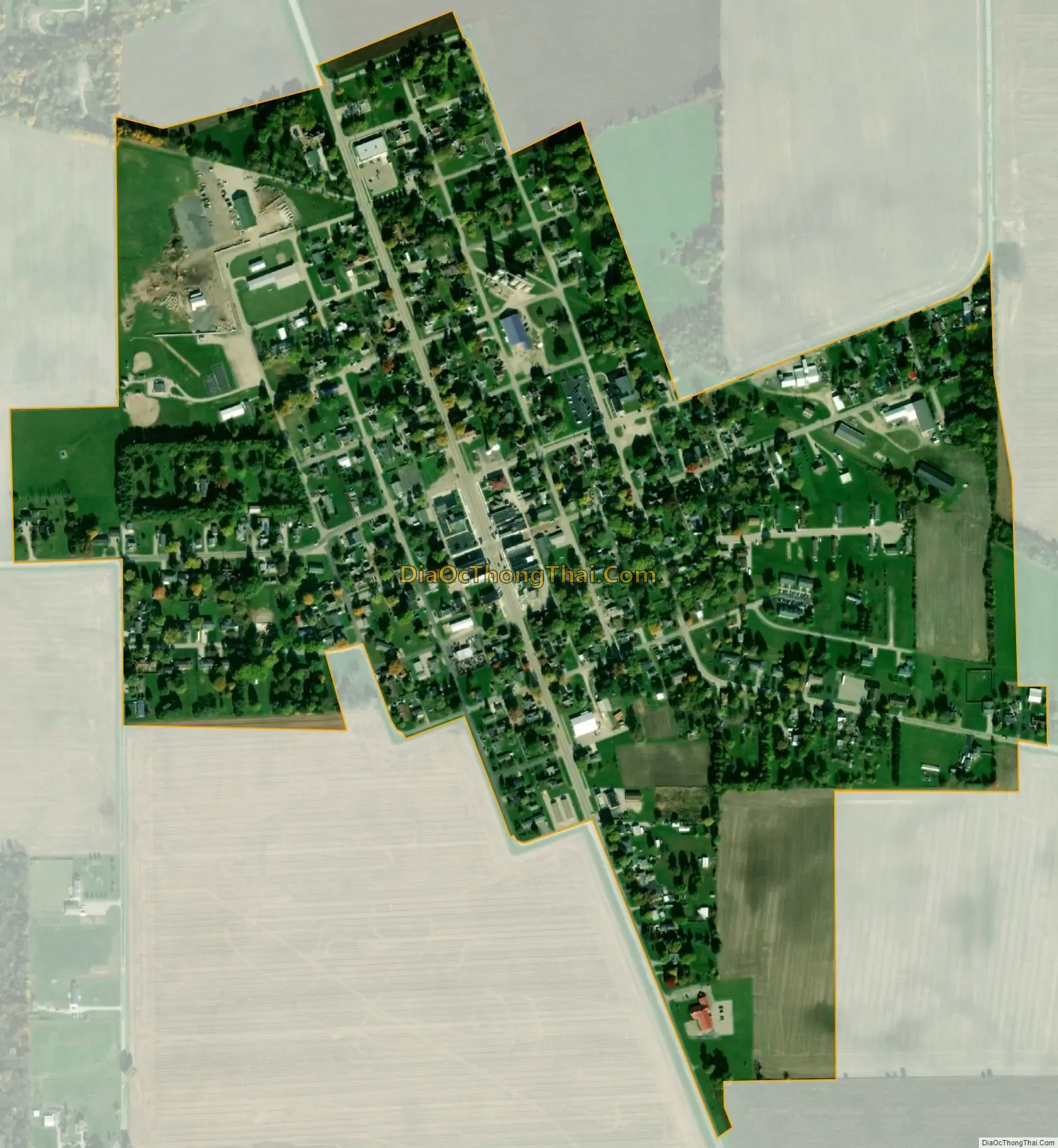
Kirklin city Satellite Map
Geography
Kirklin is located at 40°11′38″N 86°21′36″W / 40.19389°N 86.36000°W / 40.19389; -86.36000 (40.193940, -86.360092).
According to the 2010 census, Kirklin has a total area of 0.34 square miles (0.88 km), all land.
See also
Map of Indiana State and its subdivision:- Adams
- Allen
- Bartholomew
- Benton
- Blackford
- Boone
- Brown
- Carroll
- Cass
- Clark
- Clay
- Clinton
- Crawford
- Daviess
- De Kalb
- Dearborn
- Decatur
- Delaware
- Dubois
- Elkhart
- Fayette
- Floyd
- Fountain
- Franklin
- Fulton
- Gibson
- Grant
- Greene
- Hamilton
- Hancock
- Harrison
- Hendricks
- Henry
- Howard
- Huntington
- Jackson
- Jasper
- Jay
- Jefferson
- Jennings
- Johnson
- Knox
- Kosciusko
- LaGrange
- Lake
- Lake Michigan
- LaPorte
- Lawrence
- Madison
- Marion
- Marshall
- Martin
- Miami
- Monroe
- Montgomery
- Morgan
- Newton
- Noble
- Ohio
- Orange
- Owen
- Parke
- Perry
- Pike
- Porter
- Posey
- Pulaski
- Putnam
- Randolph
- Ripley
- Rush
- Saint Joseph
- Scott
- Shelby
- Spencer
- Starke
- Steuben
- Sullivan
- Switzerland
- Tippecanoe
- Tipton
- Union
- Vanderburgh
- Vermillion
- Vigo
- Wabash
- Warren
- Warrick
- Washington
- Wayne
- Wells
- White
- Whitley
- Alabama
- Alaska
- Arizona
- Arkansas
- California
- Colorado
- Connecticut
- Delaware
- District of Columbia
- Florida
- Georgia
- Hawaii
- Idaho
- Illinois
- Indiana
- Iowa
- Kansas
- Kentucky
- Louisiana
- Maine
- Maryland
- Massachusetts
- Michigan
- Minnesota
- Mississippi
- Missouri
- Montana
- Nebraska
- Nevada
- New Hampshire
- New Jersey
- New Mexico
- New York
- North Carolina
- North Dakota
- Ohio
- Oklahoma
- Oregon
- Pennsylvania
- Rhode Island
- South Carolina
- South Dakota
- Tennessee
- Texas
- Utah
- Vermont
- Virginia
- Washington
- West Virginia
- Wisconsin
- Wyoming