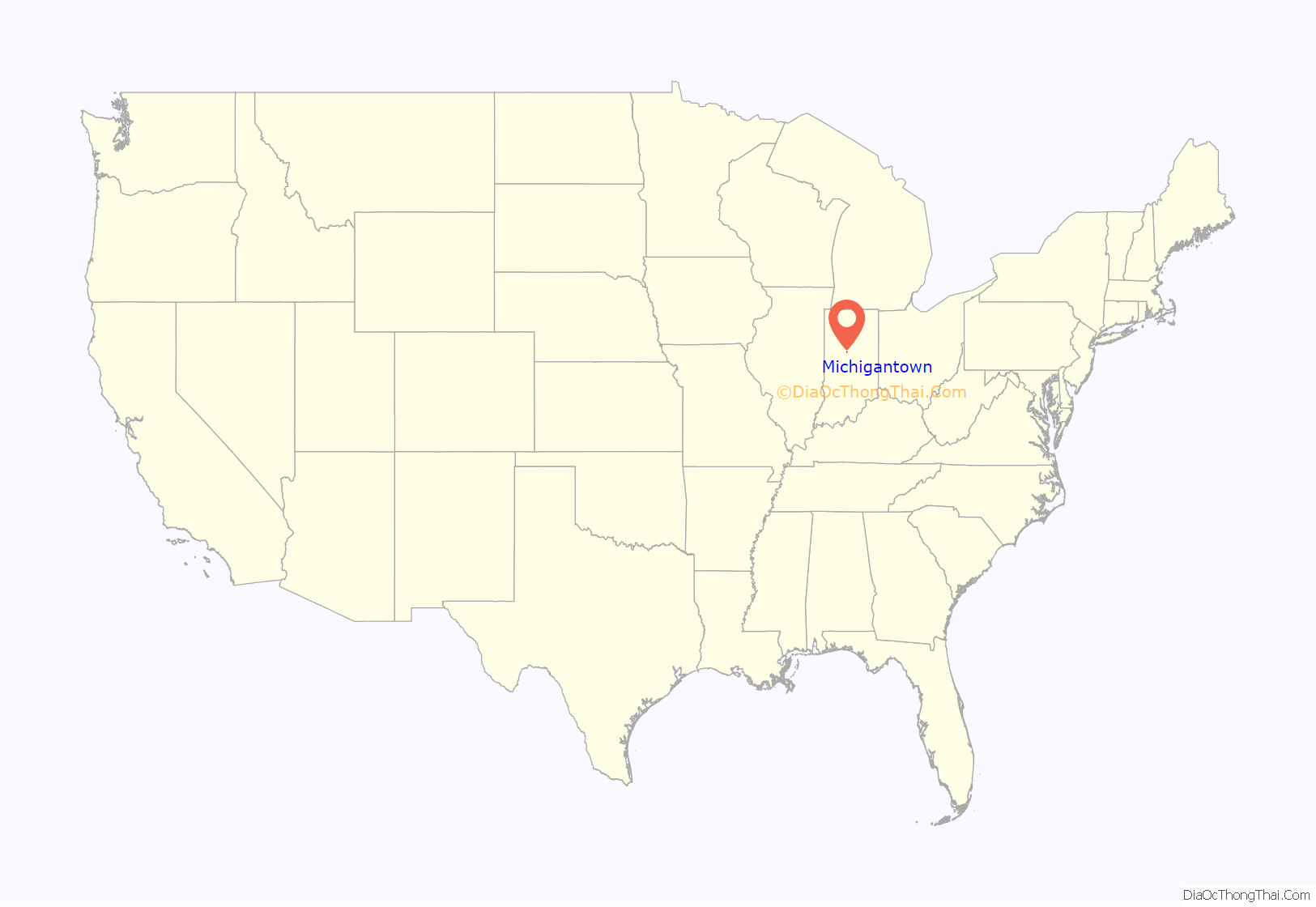
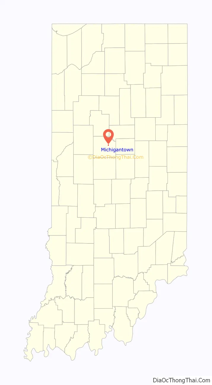
Michigantown is a town in Michigan Township, Clinton County, Indiana, United States. The population was 467 at the 2010 census. The town was named for the Michigan Road, an early thoroughfare through the area.
| Name: | Michigantown town |
|---|---|
| LSAD Code: | 43 |
| LSAD Description: | town (suffix) |
| State: | Indiana |
| County: | Clinton County |
| Founded: | 1830 |
| Elevation: | 876 ft (267 m) |
| Total Area: | 0.27 sq mi (0.70 km²) |
| Land Area: | 0.27 sq mi (0.70 km²) |
| Water Area: | 0.00 sq mi (0.00 km²) |
| Total Population: | 441 |
| Population Density: | 1,627.31/sq mi (628.50/km²) |
| ZIP code: | 46057 |
| Area code: | 765 |
| FIPS code: | 1848816 |
| GNISfeature ID: | 0439080 |
Online Interactive Map
Click on ![]() to view map in "full screen" mode.
to view map in "full screen" mode.
Michigantown location map. Where is Michigantown town?
History
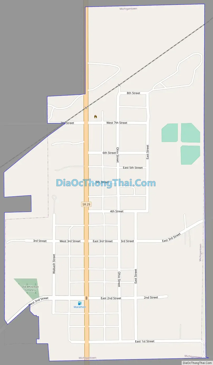
Joseph Hill and Robert Edwards platted Michigantown in 1830 with lots on both sides of the Michigan Road; additions made in 1874 and 1876 by William Lowden added more lots to the north, bringing the edge of town up to what was then the Frankfort and Kokomo Railroad (later the Toledo, St. Louis and Western). In 1912 the Marion, Kokomo and Frankfort Electric Railroad built a line that paralleled the other through town.
Michigantown was incorporated in the early 1870s. The northern part of town was sometimes referred to as Lowdenville.
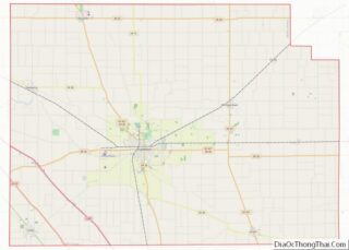
Michigantown Road Map
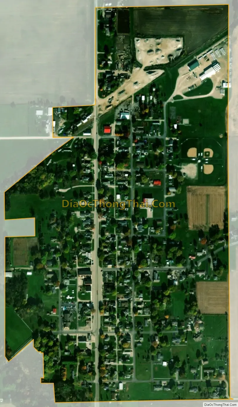
Michigantown city Satellite Map
Geography
Michigantown is located at 40°19′41″N 86°23′32″W / 40.32806°N 86.39222°W / 40.32806; -86.39222 (40.328070, -86.392275). A Norfolk Southern Railway line crosses the northern edge of town and connects the cities of Frankfort and Kokomo.
According to the 2010 census, Michigantown has a total area of 0.26 square miles (0.67 km), all land.
See also
Map of Indiana State and its subdivision:- Adams
- Allen
- Bartholomew
- Benton
- Blackford
- Boone
- Brown
- Carroll
- Cass
- Clark
- Clay
- Clinton
- Crawford
- Daviess
- De Kalb
- Dearborn
- Decatur
- Delaware
- Dubois
- Elkhart
- Fayette
- Floyd
- Fountain
- Franklin
- Fulton
- Gibson
- Grant
- Greene
- Hamilton
- Hancock
- Harrison
- Hendricks
- Henry
- Howard
- Huntington
- Jackson
- Jasper
- Jay
- Jefferson
- Jennings
- Johnson
- Knox
- Kosciusko
- LaGrange
- Lake
- Lake Michigan
- LaPorte
- Lawrence
- Madison
- Marion
- Marshall
- Martin
- Miami
- Monroe
- Montgomery
- Morgan
- Newton
- Noble
- Ohio
- Orange
- Owen
- Parke
- Perry
- Pike
- Porter
- Posey
- Pulaski
- Putnam
- Randolph
- Ripley
- Rush
- Saint Joseph
- Scott
- Shelby
- Spencer
- Starke
- Steuben
- Sullivan
- Switzerland
- Tippecanoe
- Tipton
- Union
- Vanderburgh
- Vermillion
- Vigo
- Wabash
- Warren
- Warrick
- Washington
- Wayne
- Wells
- White
- Whitley
- Alabama
- Alaska
- Arizona
- Arkansas
- California
- Colorado
- Connecticut
- Delaware
- District of Columbia
- Florida
- Georgia
- Hawaii
- Idaho
- Illinois
- Indiana
- Iowa
- Kansas
- Kentucky
- Louisiana
- Maine
- Maryland
- Massachusetts
- Michigan
- Minnesota
- Mississippi
- Missouri
- Montana
- Nebraska
- Nevada
- New Hampshire
- New Jersey
- New Mexico
- New York
- North Carolina
- North Dakota
- Ohio
- Oklahoma
- Oregon
- Pennsylvania
- Rhode Island
- South Carolina
- South Dakota
- Tennessee
- Texas
- Utah
- Vermont
- Virginia
- Washington
- West Virginia
- Wisconsin
- Wyoming