Morgantown is a town at the intersection of Indiana state routes 135 and 252 in Jackson Township, Morgan County, in the U.S. state of Indiana. The population was 1,014 at the 2020 census.
| Name: | Morgantown town |
|---|---|
| LSAD Code: | 43 |
| LSAD Description: | town (suffix) |
| State: | Indiana |
| County: | Morgan County |
| Elevation: | 679 ft (207 m) |
| Total Area: | 0.38 sq mi (0.98 km²) |
| Land Area: | 0.38 sq mi (0.98 km²) |
| Water Area: | 0.00 sq mi (0.00 km²) |
| Total Population: | 1,014 |
| Population Density: | 2,682.54/sq mi (1,036.51/km²) |
| ZIP code: | 46160 |
| Area code: | 765 |
| FIPS code: | 1851102 |
| GNISfeature ID: | 439438 |
| Website: | morgantown.in.gov |
Online Interactive Map
Click on ![]() to view map in "full screen" mode.
to view map in "full screen" mode.
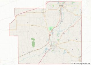
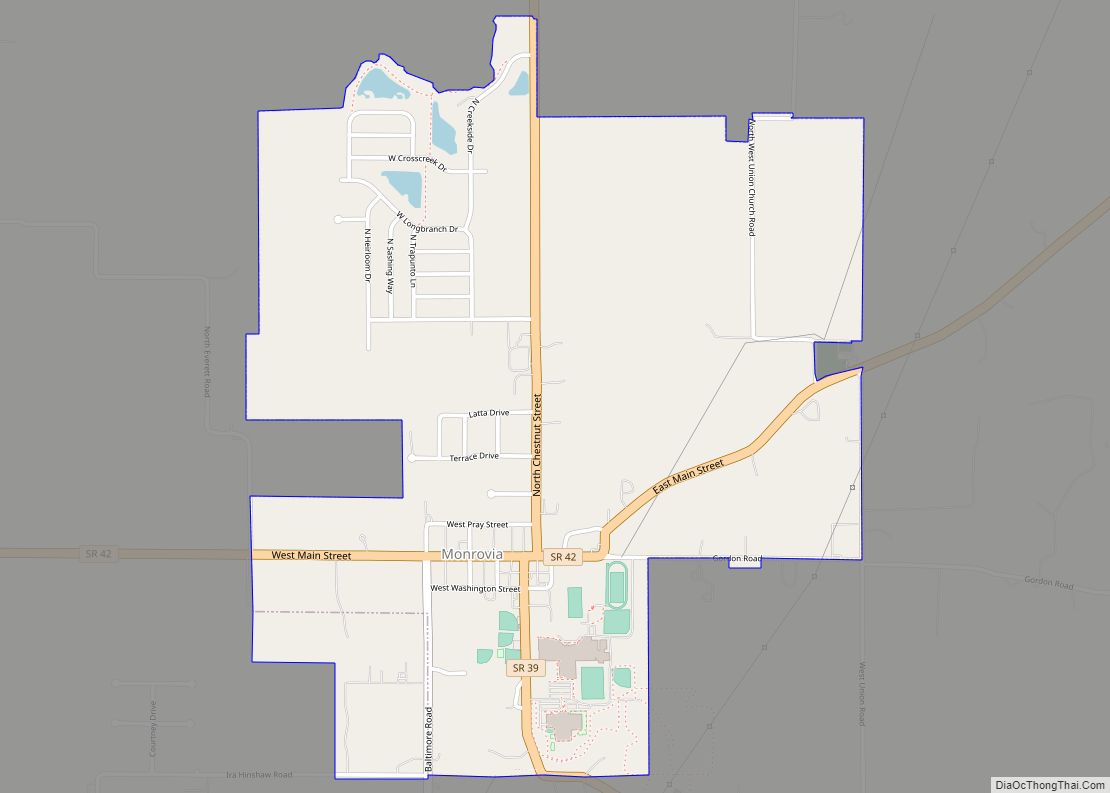
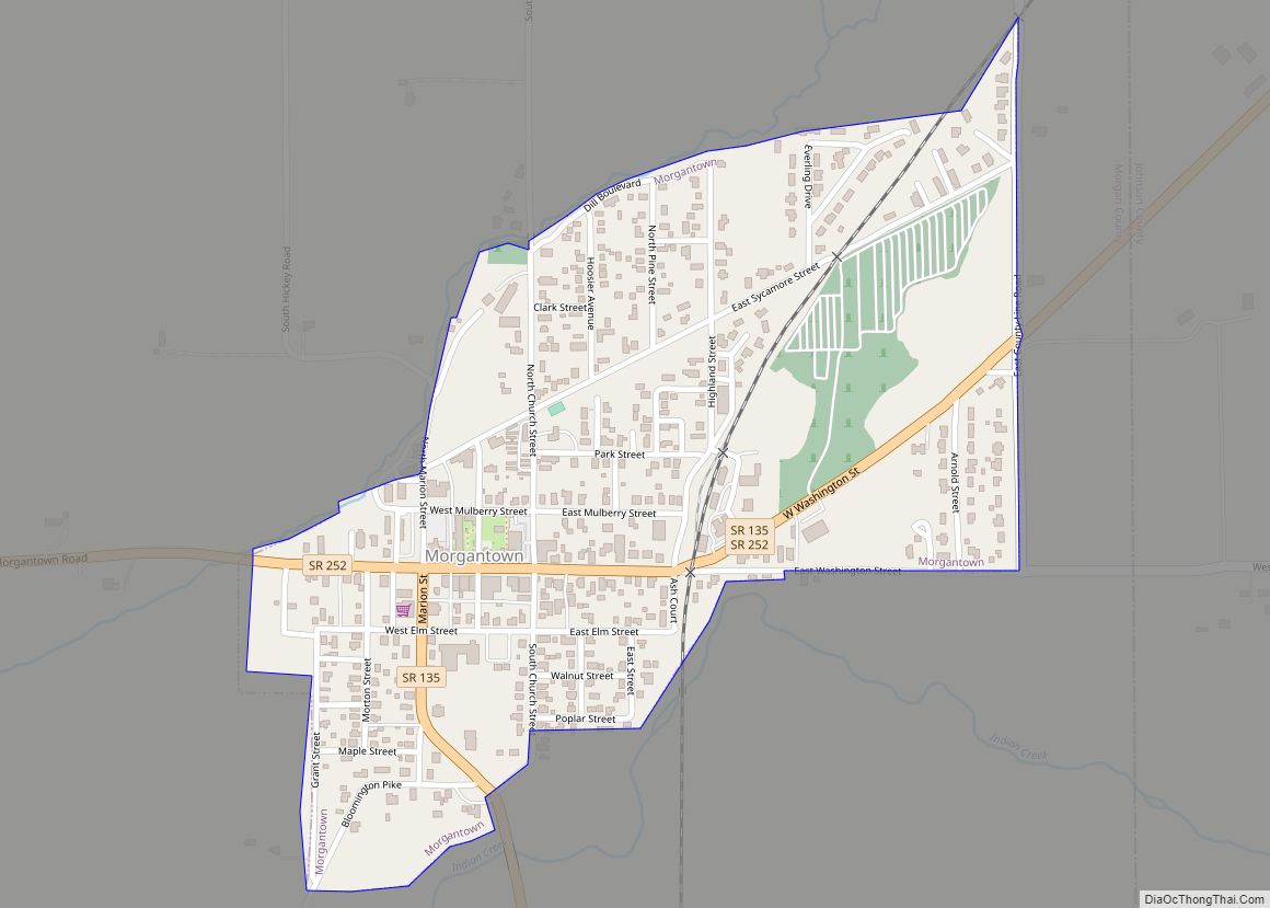
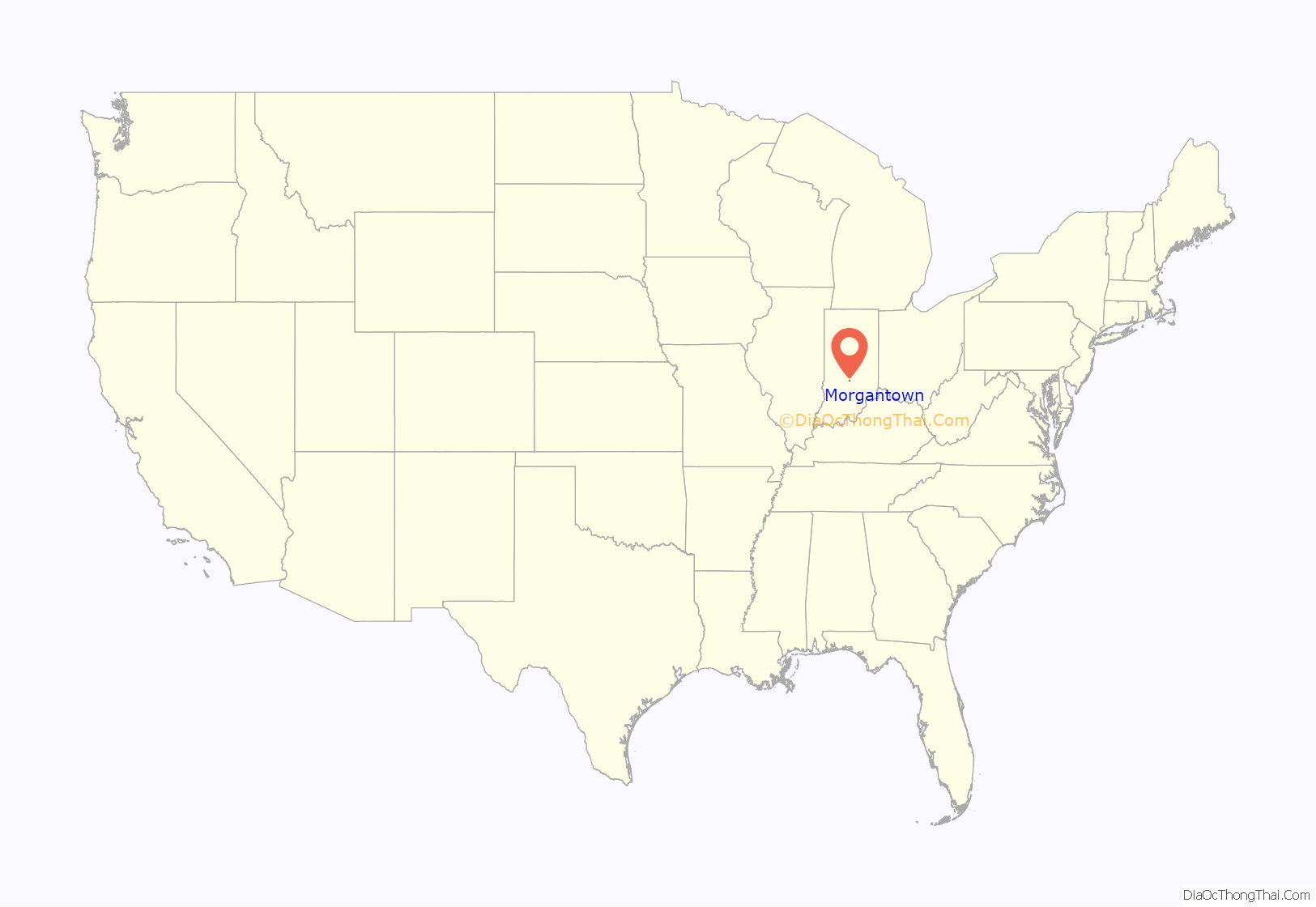
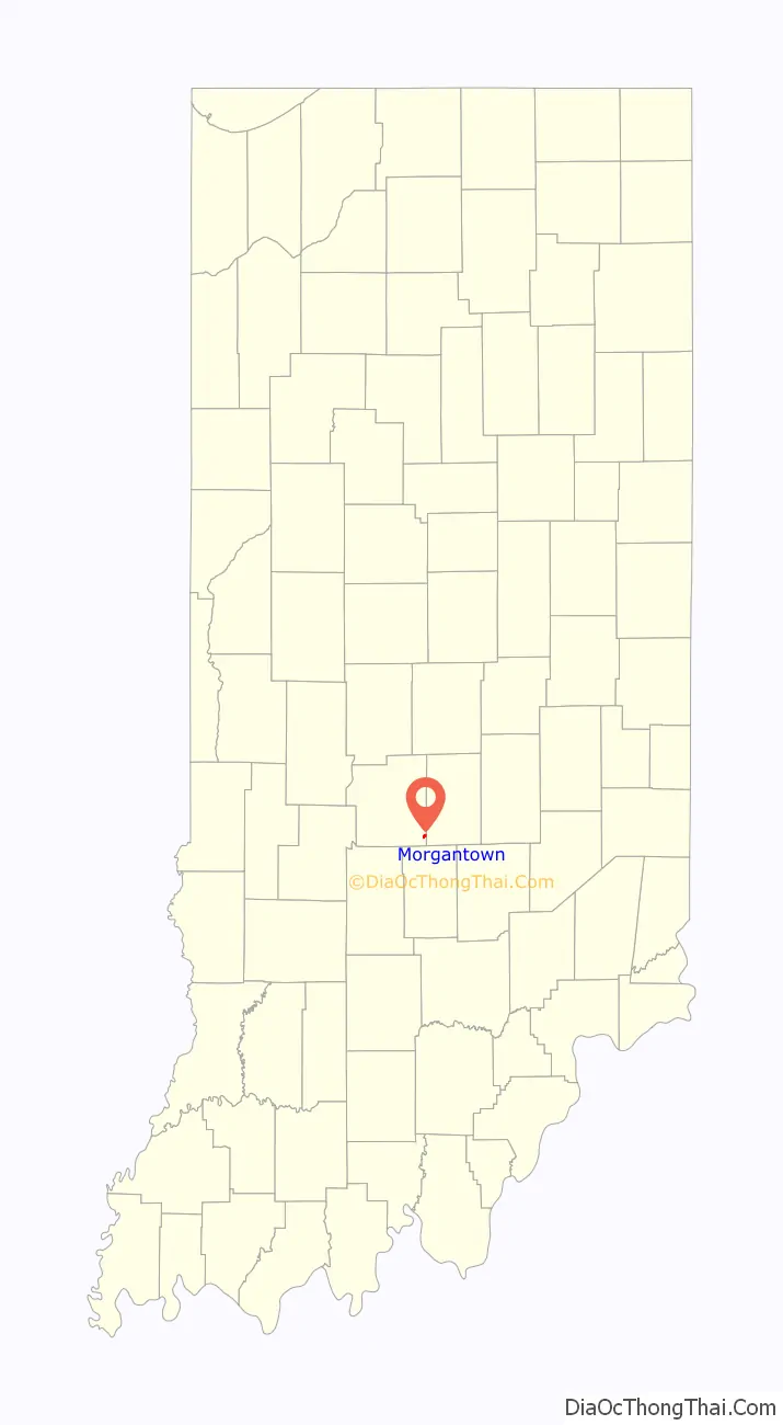
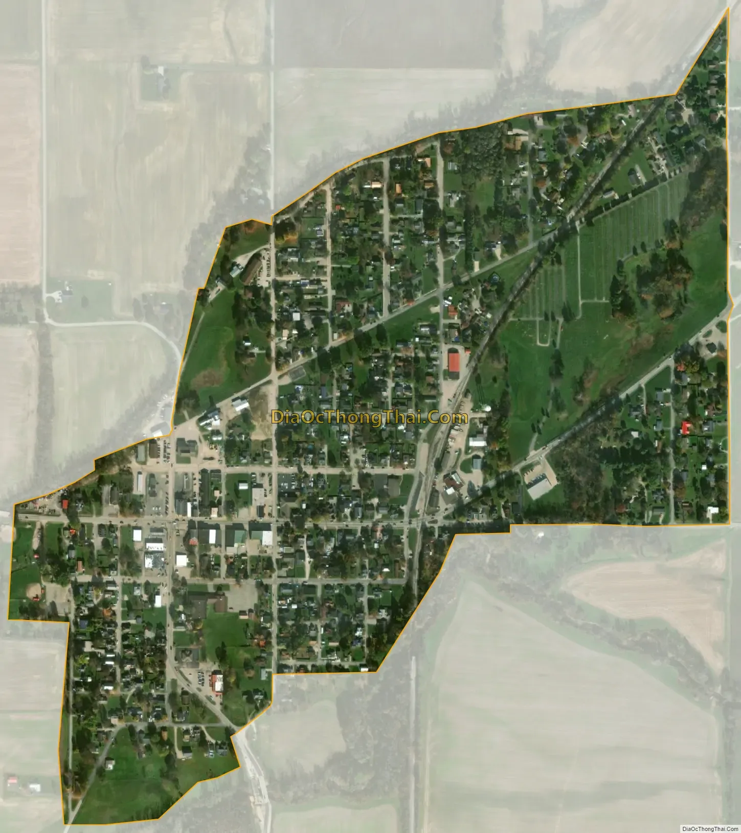
Morgantown location map. Where is Morgantown town?
History
Morgantown was founded by Robert Bowles and Samuel Teeters, who first laid out 52 lots in March of 1831. A post office has been in operation at Morgantown since 1833.
The Morgantown Historic District was listed on the National Register of Historic Places in 2006.
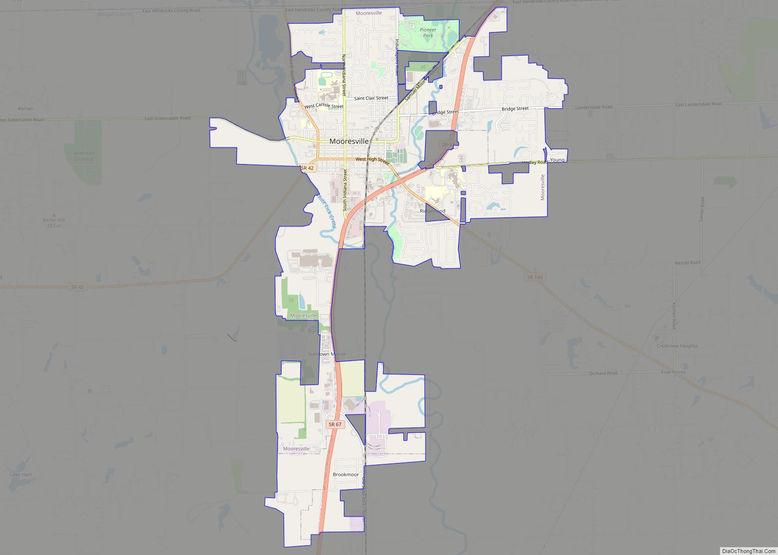
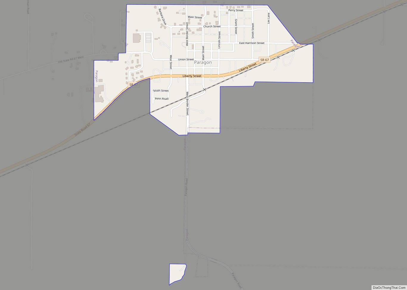
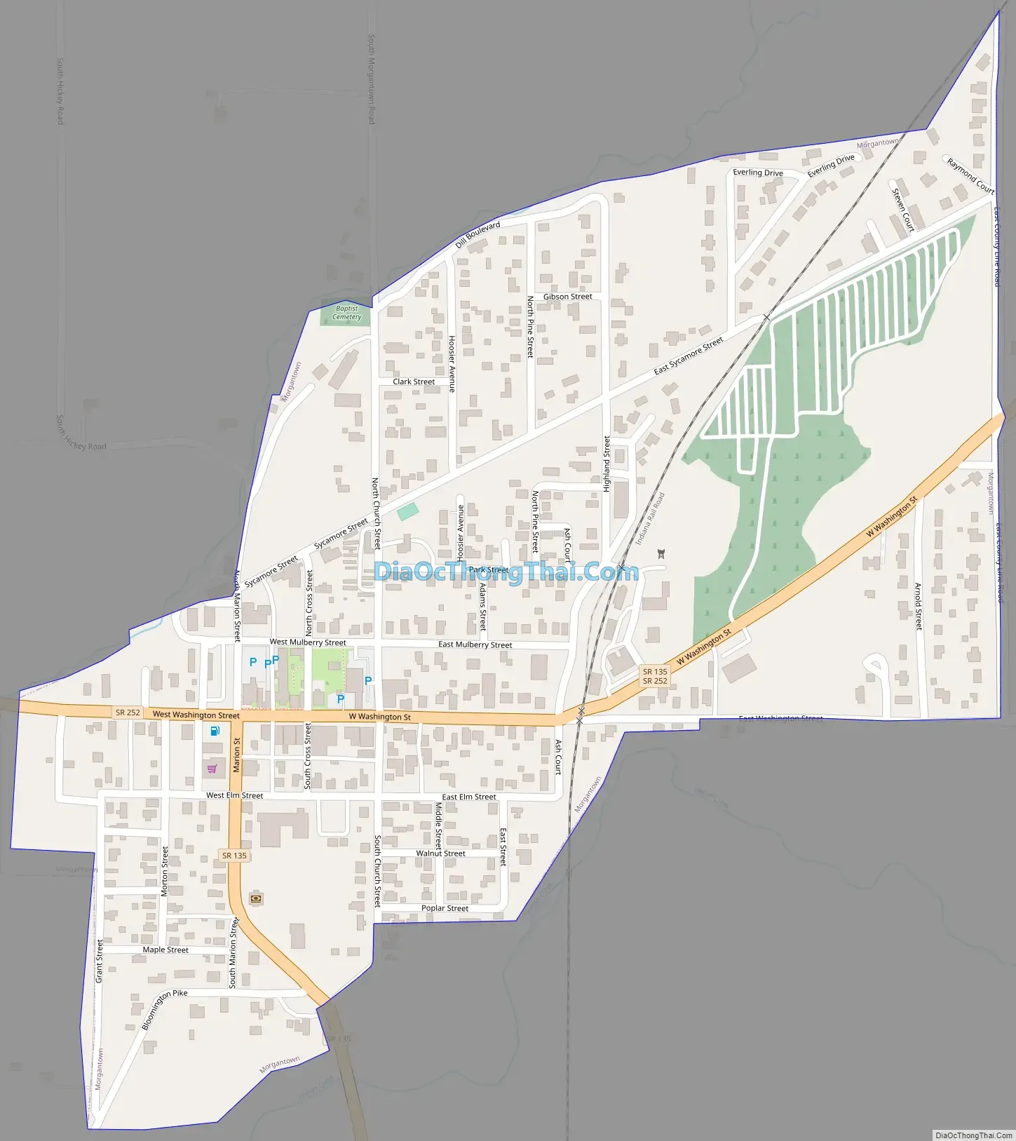
Morgantown Road Map
Morgantown city Satellite Map
Geography
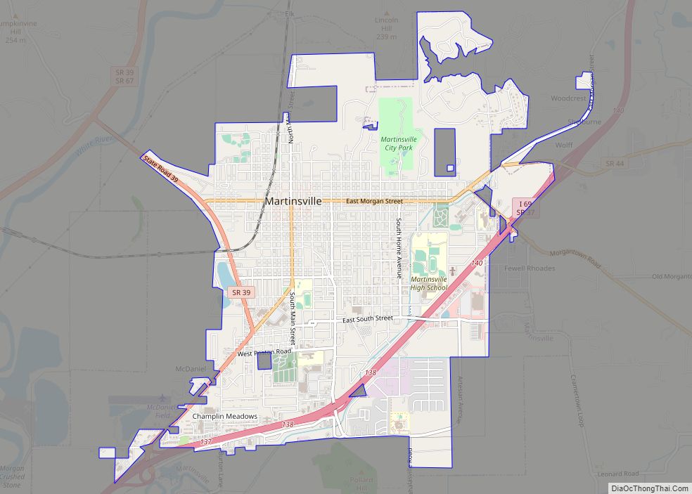
Morgantown is located in southeastern Morgan County at 39°22′25″N 86°15′38″W / 39.37361°N 86.26056°W / 39.37361; -86.26056 (39.373646, -86.260610). Its eastern border is the Johnson County line. Indiana State Road 252 passes through the town center as Washington Street, leading northwest 10 miles (16 km) to Martinsville, the county seat. State Road 135 joins SR 252 on Washington Street but turns south out of town on Marion Street, leading 12 miles (19 km) to Nashville. The two highways leave town together and lead northeast 6 miles (10 km) to Trafalgar.
According to the U.S. Census Bureau, Morgantown has a total area of 0.38 square miles (0.98 km), all land. Indian Creek runs along the southern edge of the town, flowing west to the White River south of Martinsville.
See also
Map of Indiana State and its subdivision:- Adams
- Allen
- Bartholomew
- Benton
- Blackford
- Boone
- Brown
- Carroll
- Cass
- Clark
- Clay
- Clinton
- Crawford
- Daviess
- De Kalb
- Dearborn
- Decatur
- Delaware
- Dubois
- Elkhart
- Fayette
- Floyd
- Fountain
- Franklin
- Fulton
- Gibson
- Grant
- Greene
- Hamilton
- Hancock
- Harrison
- Hendricks
- Henry
- Howard
- Huntington
- Jackson
- Jasper
- Jay
- Jefferson
- Jennings
- Johnson
- Knox
- Kosciusko
- LaGrange
- Lake
- Lake Michigan
- LaPorte
- Lawrence
- Madison
- Marion
- Marshall
- Martin
- Miami
- Monroe
- Montgomery
- Morgan
- Newton
- Noble
- Ohio
- Orange
- Owen
- Parke
- Perry
- Pike
- Porter
- Posey
- Pulaski
- Putnam
- Randolph
- Ripley
- Rush
- Saint Joseph
- Scott
- Shelby
- Spencer
- Starke
- Steuben
- Sullivan
- Switzerland
- Tippecanoe
- Tipton
- Union
- Vanderburgh
- Vermillion
- Vigo
- Wabash
- Warren
- Warrick
- Washington
- Wayne
- Wells
- White
- Whitley
- Alabama
- Alaska
- Arizona
- Arkansas
- California
- Colorado
- Connecticut
- Delaware
- District of Columbia
- Florida
- Georgia
- Hawaii
- Idaho
- Illinois
- Indiana
- Iowa
- Kansas
- Kentucky
- Louisiana
- Maine
- Maryland
- Massachusetts
- Michigan
- Minnesota
- Mississippi
- Missouri
- Montana
- Nebraska
- Nevada
- New Hampshire
- New Jersey
- New Mexico
- New York
- North Carolina
- North Dakota
- Ohio
- Oklahoma
- Oregon
- Pennsylvania
- Rhode Island
- South Carolina
- South Dakota
- Tennessee
- Texas
- Utah
- Vermont
- Virginia
- Washington
- West Virginia
- Wisconsin
- Wyoming