North Judson is a town in Wayne Township, Starke County, in the U.S. state of Indiana. The population was 1,857 as of the 2020 census.
| Name: | North Judson town |
|---|---|
| LSAD Code: | 43 |
| LSAD Description: | town (suffix) |
| State: | Indiana |
| County: | Starke County |
| Elevation: | 712 ft (217 m) |
| Total Area: | 1.11 sq mi (2.87 km²) |
| Land Area: | 1.11 sq mi (2.87 km²) |
| Water Area: | 0.00 sq mi (0.00 km²) |
| Total Population: | 1,857 |
| Population Density: | 1,675.99/sq mi (647.19/km²) |
| ZIP code: | 46366 |
| Area code: | 574 |
| FIPS code: | 1854900 |
| GNISfeature ID: | 440268 |
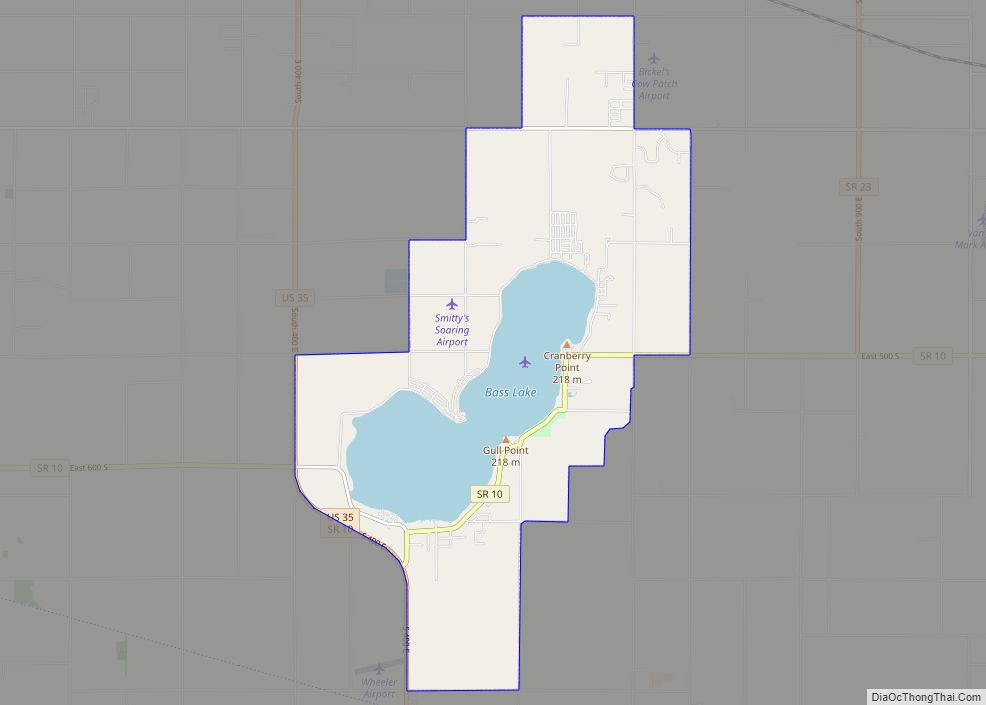
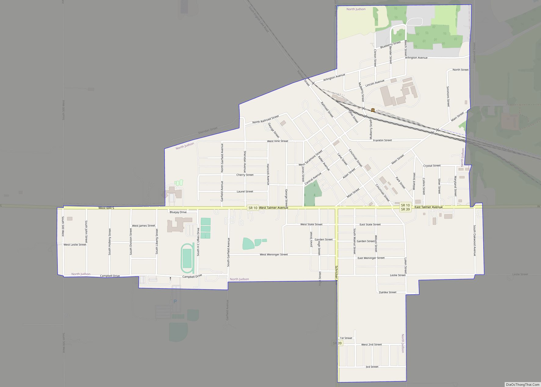
Online Interactive Map
Click on ![]() to view map in "full screen" mode.
to view map in "full screen" mode.
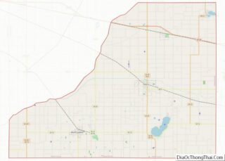
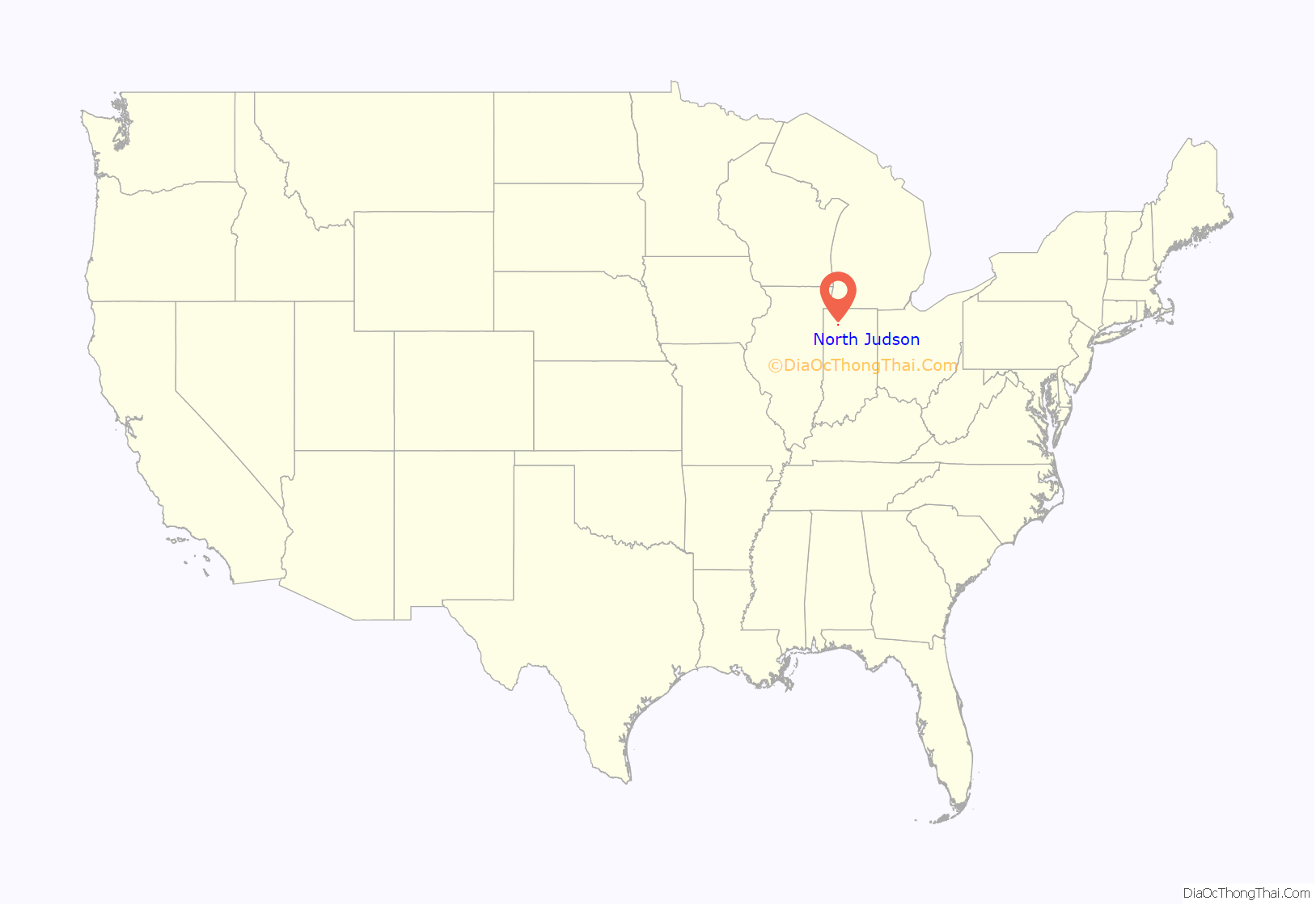
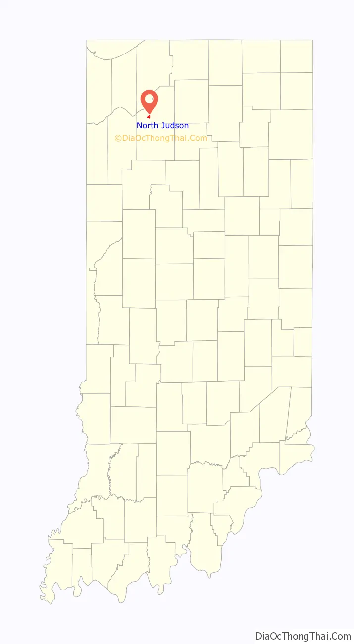
North Judson location map. Where is North Judson town?
History
The area now known as North Judson was originally Brantwood, a town platted on October 1, 1859, less than a mile northwest of the current town. The town post office was established on September 24, 1860, as North Judson after William D. Judson, President of the Cincinnati & Chicago Railroad (later a part of the Pittsburgh, Cincinnati, Chicago and St. Louis Railroad), which had just been laid through the town. The ‘North’ was likely added to eliminate confusion with downstate Judson, Indiana.
The town of North Judson proper was later laid out in 1866 and incorporated in 1888. In 1881, the Indiana, Illinois and Iowa Railroad and Chicago and Atlantic Railroad were each laid through the town. The town formerly owned and remains the headquarters of the Chesapeake & Indiana Railroad.
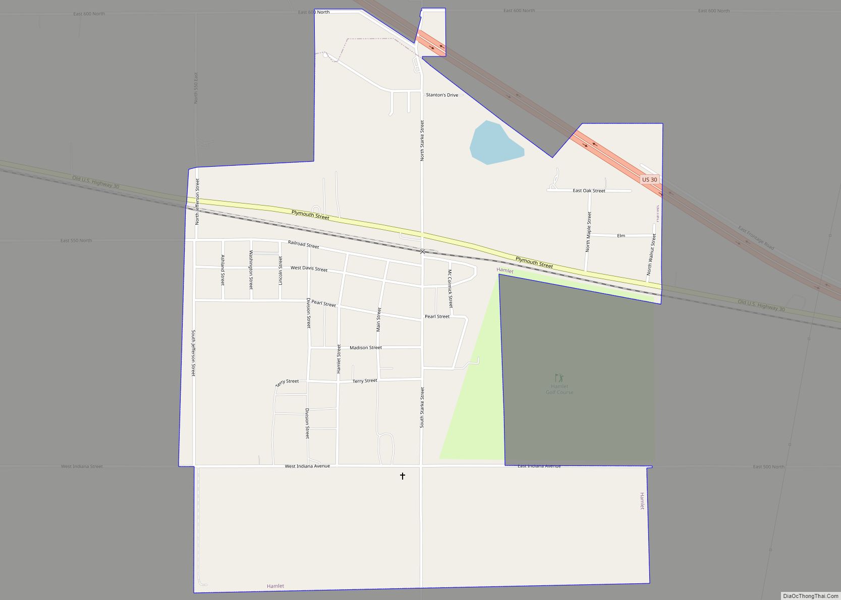
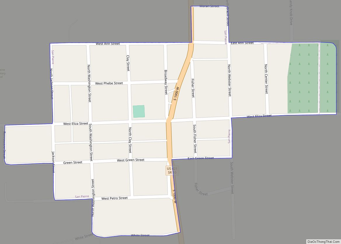
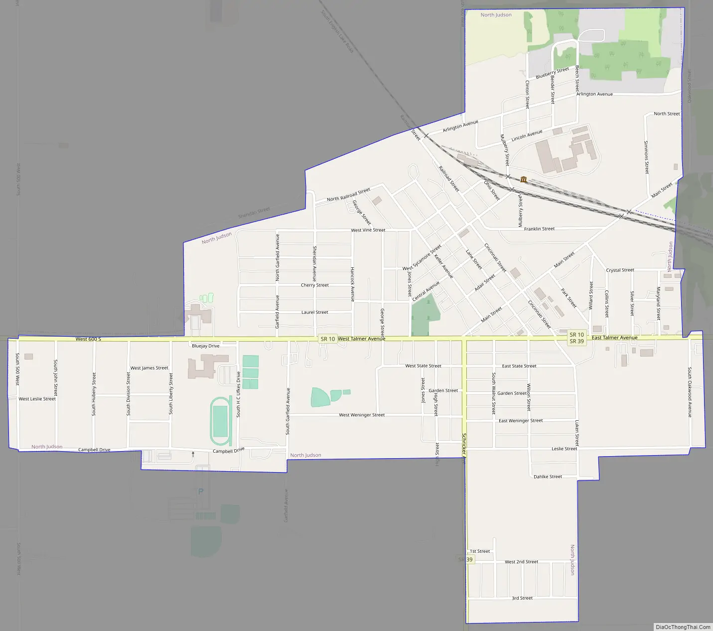
North Judson Road Map
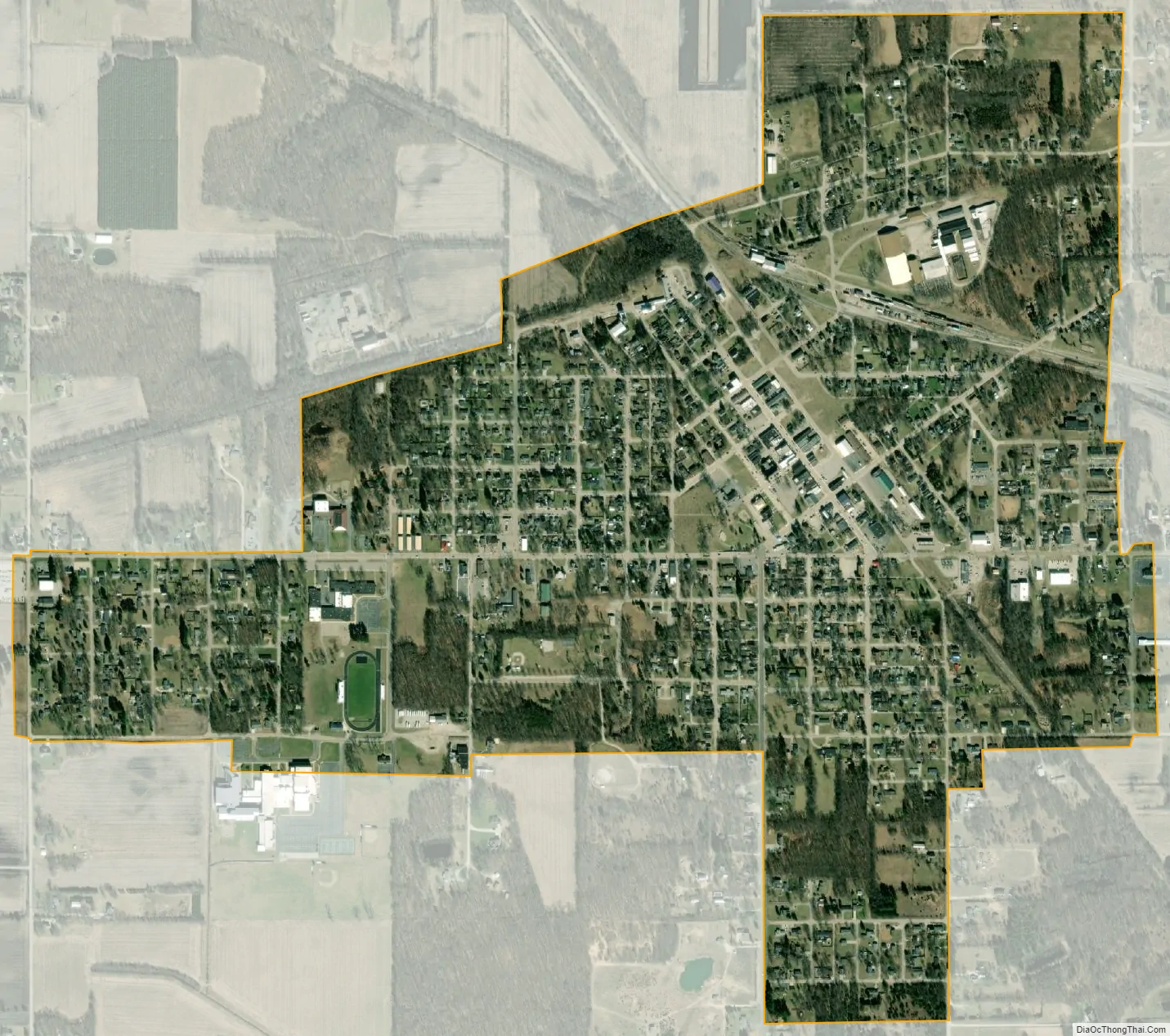
North Judson city Satellite Map
Geography
North Judson is located at the intersection of State Road 10 and State Road 39 (41°13′1″N 86°46′33″W / 41.21694°N 86.77583°W / 41.21694; -86.77583 (41.217078, −86.775930)). According to the 2010 census, North Judson has a total area of 1.1 square miles (2.85 km), all land.
See also
Map of Indiana State and its subdivision:- Adams
- Allen
- Bartholomew
- Benton
- Blackford
- Boone
- Brown
- Carroll
- Cass
- Clark
- Clay
- Clinton
- Crawford
- Daviess
- De Kalb
- Dearborn
- Decatur
- Delaware
- Dubois
- Elkhart
- Fayette
- Floyd
- Fountain
- Franklin
- Fulton
- Gibson
- Grant
- Greene
- Hamilton
- Hancock
- Harrison
- Hendricks
- Henry
- Howard
- Huntington
- Jackson
- Jasper
- Jay
- Jefferson
- Jennings
- Johnson
- Knox
- Kosciusko
- LaGrange
- Lake
- Lake Michigan
- LaPorte
- Lawrence
- Madison
- Marion
- Marshall
- Martin
- Miami
- Monroe
- Montgomery
- Morgan
- Newton
- Noble
- Ohio
- Orange
- Owen
- Parke
- Perry
- Pike
- Porter
- Posey
- Pulaski
- Putnam
- Randolph
- Ripley
- Rush
- Saint Joseph
- Scott
- Shelby
- Spencer
- Starke
- Steuben
- Sullivan
- Switzerland
- Tippecanoe
- Tipton
- Union
- Vanderburgh
- Vermillion
- Vigo
- Wabash
- Warren
- Warrick
- Washington
- Wayne
- Wells
- White
- Whitley
- Alabama
- Alaska
- Arizona
- Arkansas
- California
- Colorado
- Connecticut
- Delaware
- District of Columbia
- Florida
- Georgia
- Hawaii
- Idaho
- Illinois
- Indiana
- Iowa
- Kansas
- Kentucky
- Louisiana
- Maine
- Maryland
- Massachusetts
- Michigan
- Minnesota
- Mississippi
- Missouri
- Montana
- Nebraska
- Nevada
- New Hampshire
- New Jersey
- New Mexico
- New York
- North Carolina
- North Dakota
- Ohio
- Oklahoma
- Oregon
- Pennsylvania
- Rhode Island
- South Carolina
- South Dakota
- Tennessee
- Texas
- Utah
- Vermont
- Virginia
- Washington
- West Virginia
- Wisconsin
- Wyoming