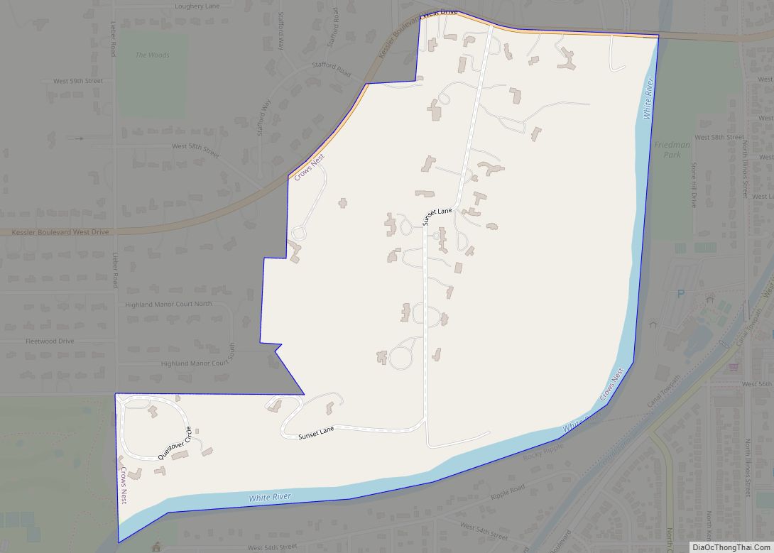
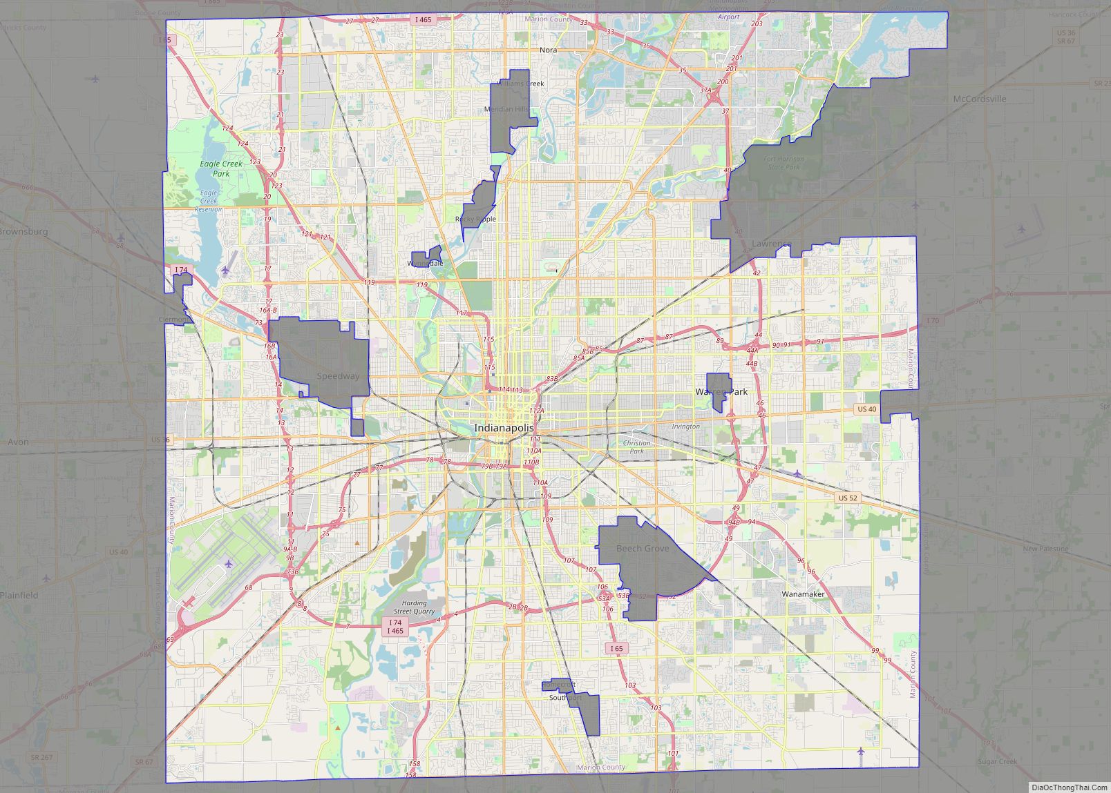
Rocky Ripple is a town in Marion County, Indiana, United States. The population was 655 at the 2020 census. It was founded in 1928, and the town was incorporated as an “included town” as part of Unigov in 1970. It is part of Indianapolis, but retains a separate functioning town government under IC 36-3-1-11. Although not far from the city center, Rocky Ripple is a somewhat isolated area, located between the Central Canal and the White River; only two traffic-supporting bridges over the canal provide access to the town.
| Name: | Rocky Ripple town |
|---|---|
| LSAD Code: | 43 |
| LSAD Description: | town (suffix) |
| State: | Indiana |
| County: | Marion County |
| Elevation: | 705 ft (215 m) |
| Total Area: | 0.30 sq mi (0.78 km²) |
| Land Area: | 0.30 sq mi (0.78 km²) |
| Water Area: | 0.00 sq mi (0.00 km²) |
| Total Population: | 655 |
| Population Density: | 2,161.72/sq mi (834.94/km²) |
| FIPS code: | 1865556 |
| GNISfeature ID: | 0442234 |
| Website: | rockyripple.com |
Online Interactive Map
Click on ![]() to view map in "full screen" mode.
to view map in "full screen" mode.
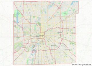
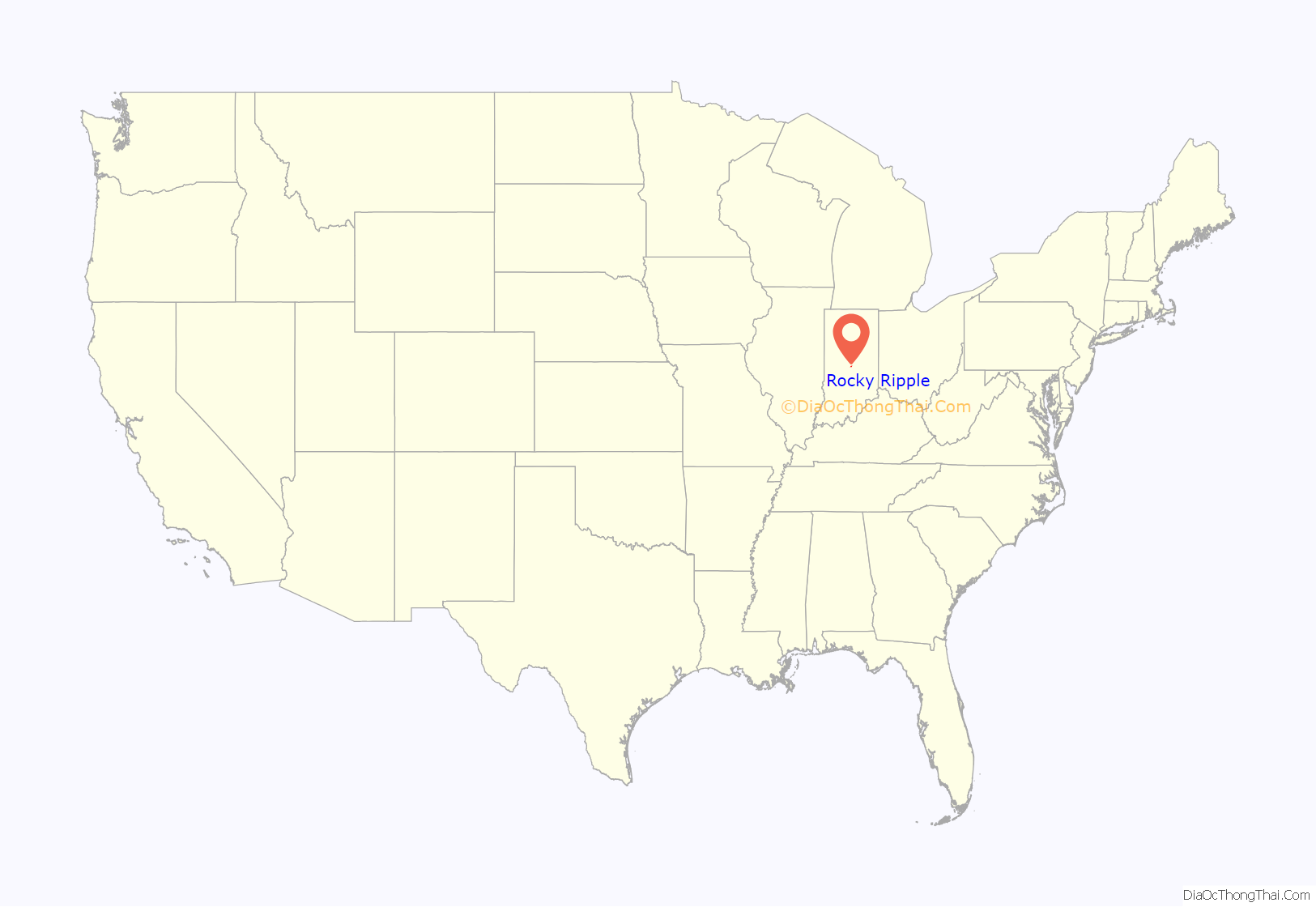
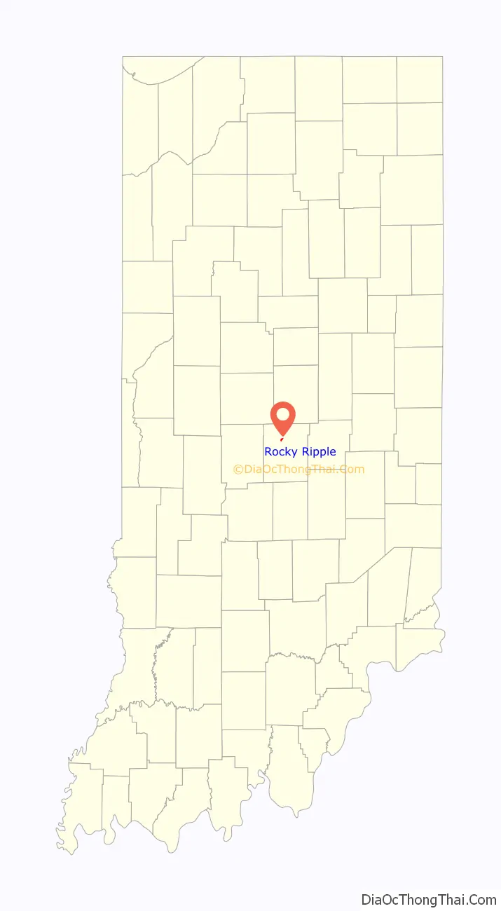
Rocky Ripple location map. Where is Rocky Ripple town?
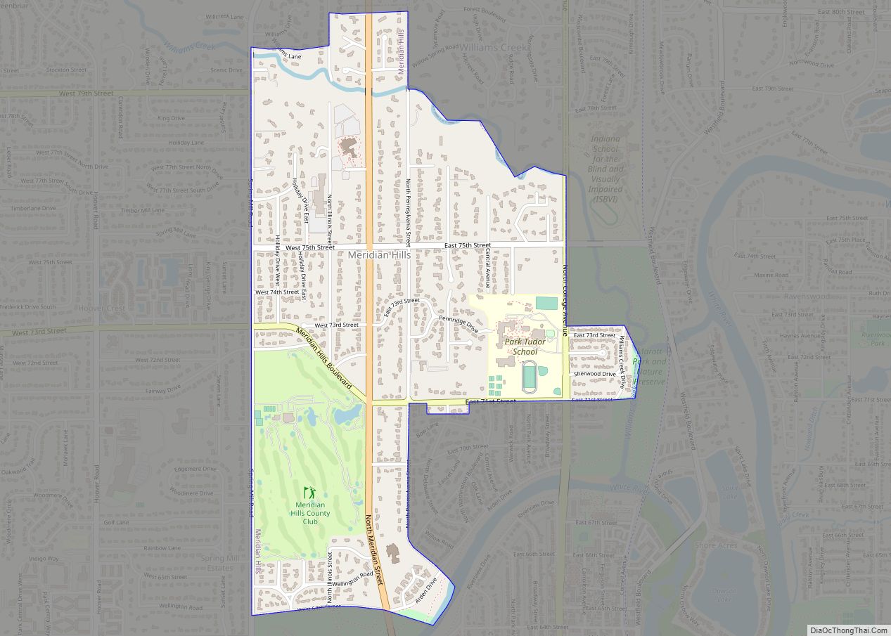
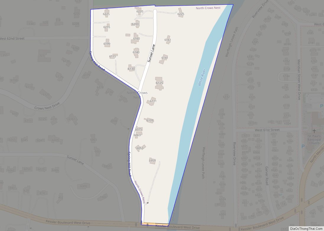
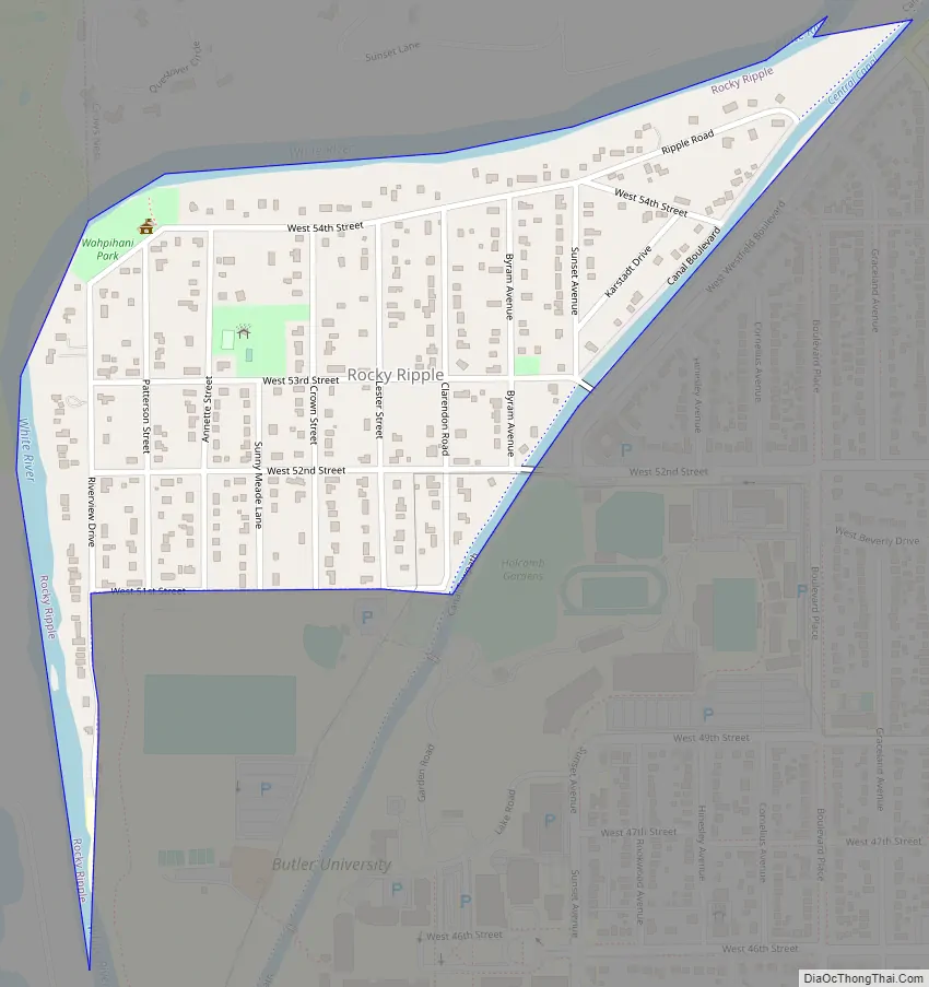
Rocky Ripple Road Map
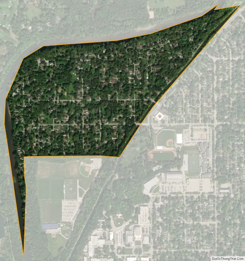
Rocky Ripple city Satellite Map
Geography
Rocky Ripple is located in northern Marion County at 39°50′50″N 86°10′23″W / 39.84722°N 86.17306°W / 39.84722; -86.17306 (39.847091, -86.173137). It is bordered to the north and west by the White River and to the southeast by the Central Canal. To the south it is bordered by athletic fields of Butler University. The town is 6 miles (10 km) north of downtown Indianapolis.
According to the U.S. Census Bureau, Rocky Ripple has a total area of 0.30 square miles (0.78 km), all land.
The vast majority of Rocky Ripple is located in a floodplain. A 2017 study found that the existing Rocky Ripple levee is in a seriously deteriorated condition. The analysis indicates that the levee currently has a 5% or greater annual chance of overtopping (20 year level of protection) and there is about a 92% chance that the levee will be over-topped at least once over the next 50 years.
See also
Map of Indiana State and its subdivision:- Adams
- Allen
- Bartholomew
- Benton
- Blackford
- Boone
- Brown
- Carroll
- Cass
- Clark
- Clay
- Clinton
- Crawford
- Daviess
- De Kalb
- Dearborn
- Decatur
- Delaware
- Dubois
- Elkhart
- Fayette
- Floyd
- Fountain
- Franklin
- Fulton
- Gibson
- Grant
- Greene
- Hamilton
- Hancock
- Harrison
- Hendricks
- Henry
- Howard
- Huntington
- Jackson
- Jasper
- Jay
- Jefferson
- Jennings
- Johnson
- Knox
- Kosciusko
- LaGrange
- Lake
- Lake Michigan
- LaPorte
- Lawrence
- Madison
- Marion
- Marshall
- Martin
- Miami
- Monroe
- Montgomery
- Morgan
- Newton
- Noble
- Ohio
- Orange
- Owen
- Parke
- Perry
- Pike
- Porter
- Posey
- Pulaski
- Putnam
- Randolph
- Ripley
- Rush
- Saint Joseph
- Scott
- Shelby
- Spencer
- Starke
- Steuben
- Sullivan
- Switzerland
- Tippecanoe
- Tipton
- Union
- Vanderburgh
- Vermillion
- Vigo
- Wabash
- Warren
- Warrick
- Washington
- Wayne
- Wells
- White
- Whitley
- Alabama
- Alaska
- Arizona
- Arkansas
- California
- Colorado
- Connecticut
- Delaware
- District of Columbia
- Florida
- Georgia
- Hawaii
- Idaho
- Illinois
- Indiana
- Iowa
- Kansas
- Kentucky
- Louisiana
- Maine
- Maryland
- Massachusetts
- Michigan
- Minnesota
- Mississippi
- Missouri
- Montana
- Nebraska
- Nevada
- New Hampshire
- New Jersey
- New Mexico
- New York
- North Carolina
- North Dakota
- Ohio
- Oklahoma
- Oregon
- Pennsylvania
- Rhode Island
- South Carolina
- South Dakota
- Tennessee
- Texas
- Utah
- Vermont
- Virginia
- Washington
- West Virginia
- Wisconsin
- Wyoming