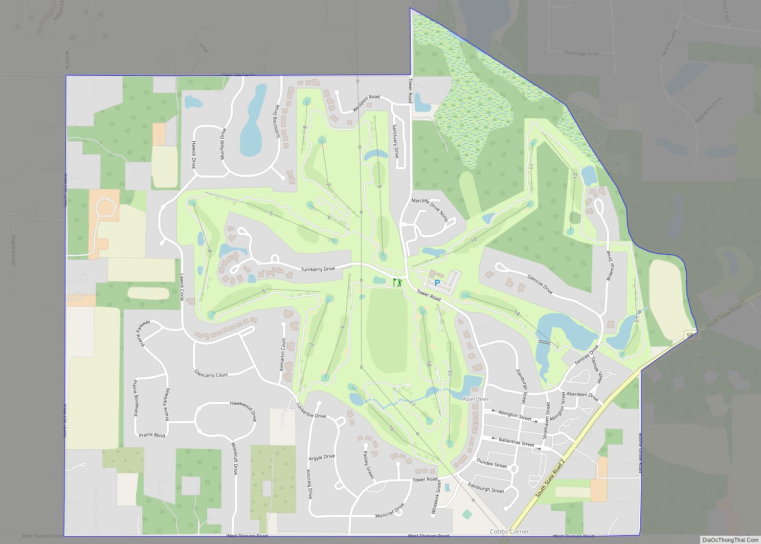
Shorewood Forest is a census-designated place (CDP) in Union Township, Porter County, in the U.S. state of Indiana. The community centers on Lake Louise, an artificial water body. The population of the CDP was 2,708 at the 2010 census.
| Name: | Shorewood Forest CDP |
|---|---|
| LSAD Code: | 57 |
| LSAD Description: | CDP (suffix) |
| State: | Indiana |
| County: | Porter County |
| Elevation: | 722 ft (220 m) |
| Total Area: | 2.24 sq mi (5.79 km²) |
| Land Area: | 1.90 sq mi (4.92 km²) |
| Water Area: | 0.34 sq mi (0.88 km²) |
| Total Population: | 3,033 |
| Population Density: | 1,597.16/sq mi (616.76/km²) |
| ZIP code: | 46385 |
| Area code: | 219 |
| FIPS code: | 1869642 |
| GNISfeature ID: | 2629889 |
| Website: | www.shorewoodforest.com |
Online Interactive Map
Click on ![]() to view map in "full screen" mode.
to view map in "full screen" mode.
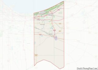
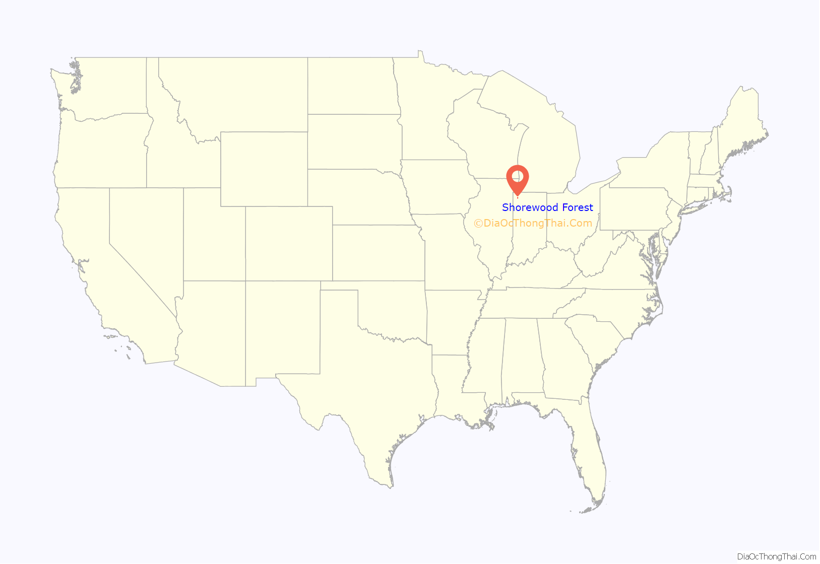
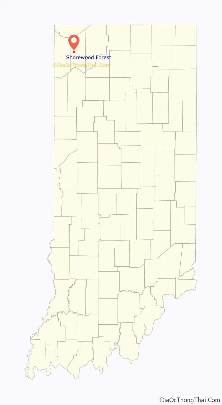
Shorewood Forest location map. Where is Shorewood Forest CDP?
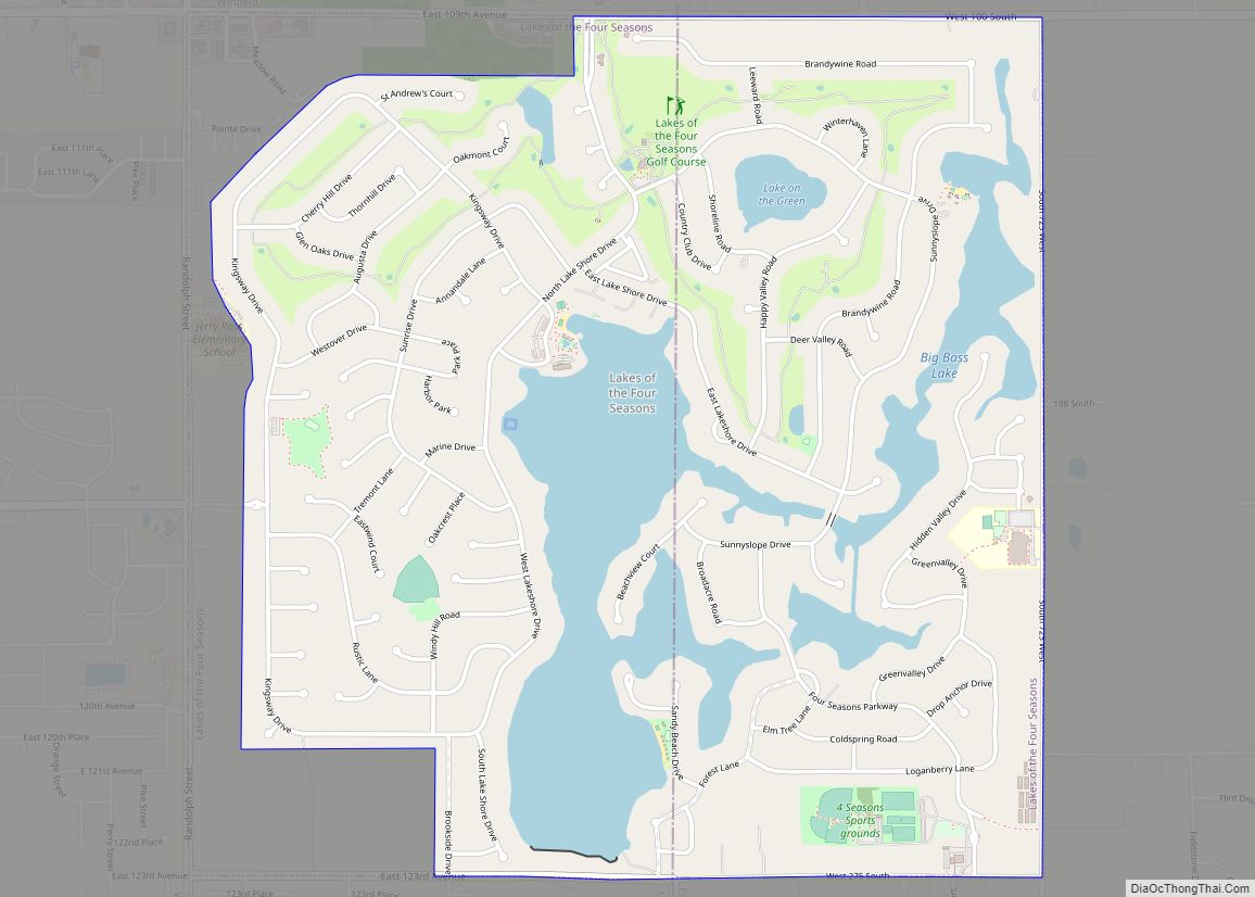
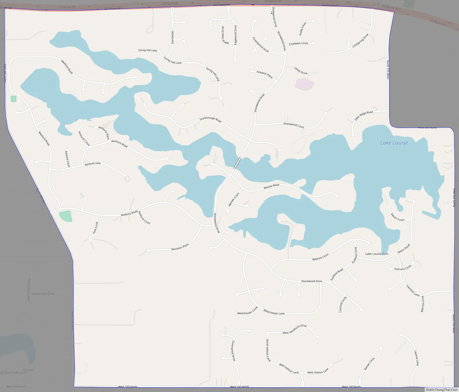
Shorewood Forest Road Map
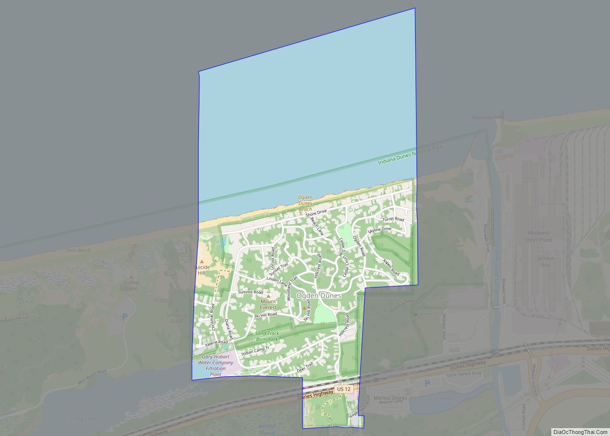
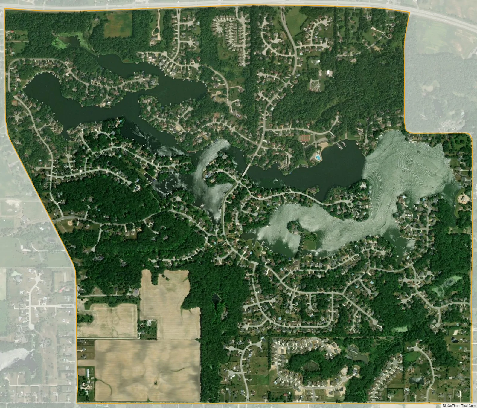
Shorewood Forest city Satellite Map
Geography
Shorewood Forest is located at 41°27′42″N 87°8′58″W / 41.46167°N 87.14944°W / 41.46167; -87.14944 (41.46183, -87.14956), 6 miles (10 km) west of Valparaiso, the county seat. U.S. Route 30, the Lincoln Highway, forms the northern boundary of the CDP.
According to the United States Census Bureau, the CDP has a total area of 2.2 square miles (5.8 km), of which 1.9 square miles (4.9 km) is land and 0.35 square miles (0.9 km), or 15.13%, is water, consisting of the impoundment known as Lake Louise. The lake is located on a tributary of Salt Creek, which is part of the Little Calumet River watershed.
See also
Map of Indiana State and its subdivision:- Adams
- Allen
- Bartholomew
- Benton
- Blackford
- Boone
- Brown
- Carroll
- Cass
- Clark
- Clay
- Clinton
- Crawford
- Daviess
- De Kalb
- Dearborn
- Decatur
- Delaware
- Dubois
- Elkhart
- Fayette
- Floyd
- Fountain
- Franklin
- Fulton
- Gibson
- Grant
- Greene
- Hamilton
- Hancock
- Harrison
- Hendricks
- Henry
- Howard
- Huntington
- Jackson
- Jasper
- Jay
- Jefferson
- Jennings
- Johnson
- Knox
- Kosciusko
- LaGrange
- Lake
- Lake Michigan
- LaPorte
- Lawrence
- Madison
- Marion
- Marshall
- Martin
- Miami
- Monroe
- Montgomery
- Morgan
- Newton
- Noble
- Ohio
- Orange
- Owen
- Parke
- Perry
- Pike
- Porter
- Posey
- Pulaski
- Putnam
- Randolph
- Ripley
- Rush
- Saint Joseph
- Scott
- Shelby
- Spencer
- Starke
- Steuben
- Sullivan
- Switzerland
- Tippecanoe
- Tipton
- Union
- Vanderburgh
- Vermillion
- Vigo
- Wabash
- Warren
- Warrick
- Washington
- Wayne
- Wells
- White
- Whitley
- Alabama
- Alaska
- Arizona
- Arkansas
- California
- Colorado
- Connecticut
- Delaware
- District of Columbia
- Florida
- Georgia
- Hawaii
- Idaho
- Illinois
- Indiana
- Iowa
- Kansas
- Kentucky
- Louisiana
- Maine
- Maryland
- Massachusetts
- Michigan
- Minnesota
- Mississippi
- Missouri
- Montana
- Nebraska
- Nevada
- New Hampshire
- New Jersey
- New Mexico
- New York
- North Carolina
- North Dakota
- Ohio
- Oklahoma
- Oregon
- Pennsylvania
- Rhode Island
- South Carolina
- South Dakota
- Tennessee
- Texas
- Utah
- Vermont
- Virginia
- Washington
- West Virginia
- Wisconsin
- Wyoming