Southport is an excluded city in Marion County, Indiana, United States. The population was 2,123 at the 2020 census, up from 1,712 in 2010.
| Name: | Southport city |
|---|---|
| LSAD Code: | 25 |
| LSAD Description: | city (suffix) |
| State: | Indiana |
| County: | Marion County |
| Elevation: | 748 ft (228 m) |
| Total Area: | 0.63 sq mi (1.63 km²) |
| Land Area: | 0.63 sq mi (1.63 km²) |
| Water Area: | 0.00 sq mi (0.00 km²) 0% |
| Total Population: | 2,123 |
| Population Density: | 3,380.57/sq mi (1,306.09/km²) |
| ZIP code: | 46227 |
| Area code: | 317 |
| FIPS code: | 1871486 |
| GNISfeature ID: | 0443880 |
| Website: | southport.in.gov |
Online Interactive Map
Click on ![]() to view map in "full screen" mode.
to view map in "full screen" mode.
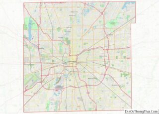
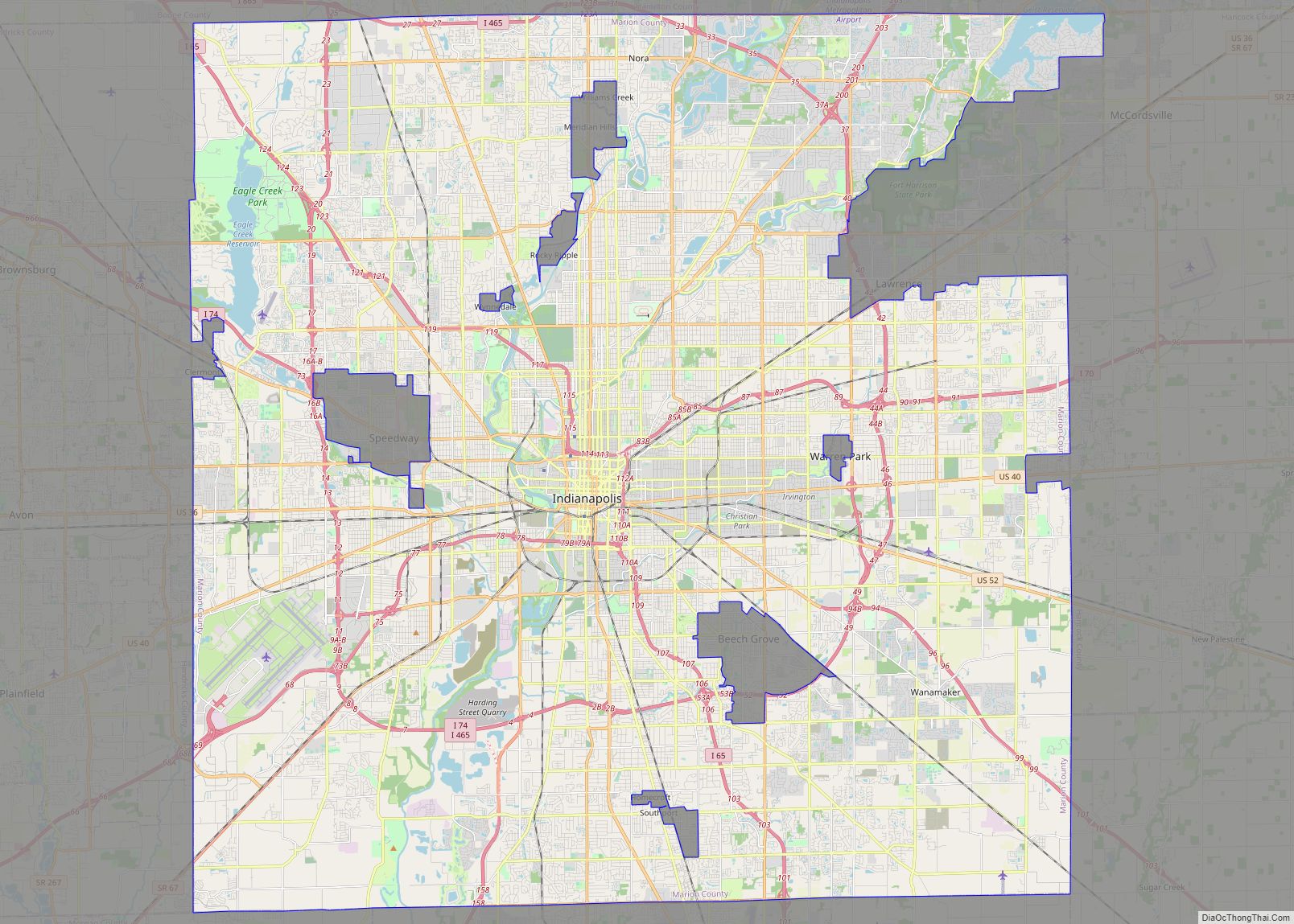
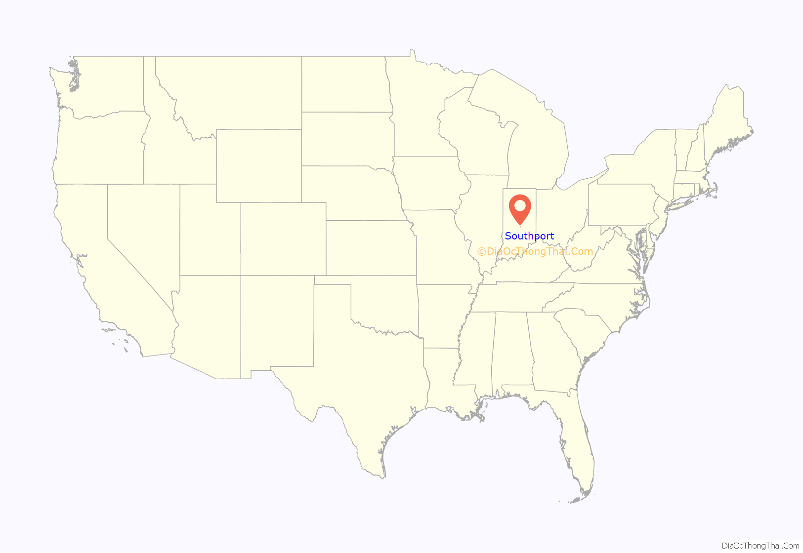
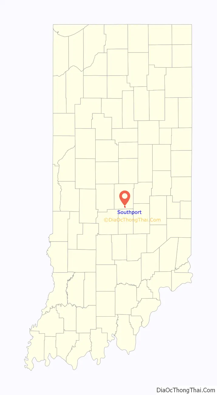
Southport location map. Where is Southport city?
History
The area that is now known as Southport was a wooded area until the first European American settlers arrived in the 1820s. Early settlers included Jacob Smock and Randall Litzey in 1822, Samuel Brewer in 1823, Benjamin McFarland in 1826, and Samuel and Mary Bryan in 1828. Mary Bryan is remembered as one of the first European American women to cross the Cumberland Mountains. By 1828 Southport was a stagecoach stop on the Madison–Indianapolis road. Southport claims it was founded in 1832. The town was platted in 1852.
In 1847 the Jeffersonville, Madison and Indianapolis Railroad was opened through Southport, increasing traffic to and through the town, and bringing increased development. By 1884 the population had reached 388. By 1960 it was 892. Southport contained a post office until 1960.
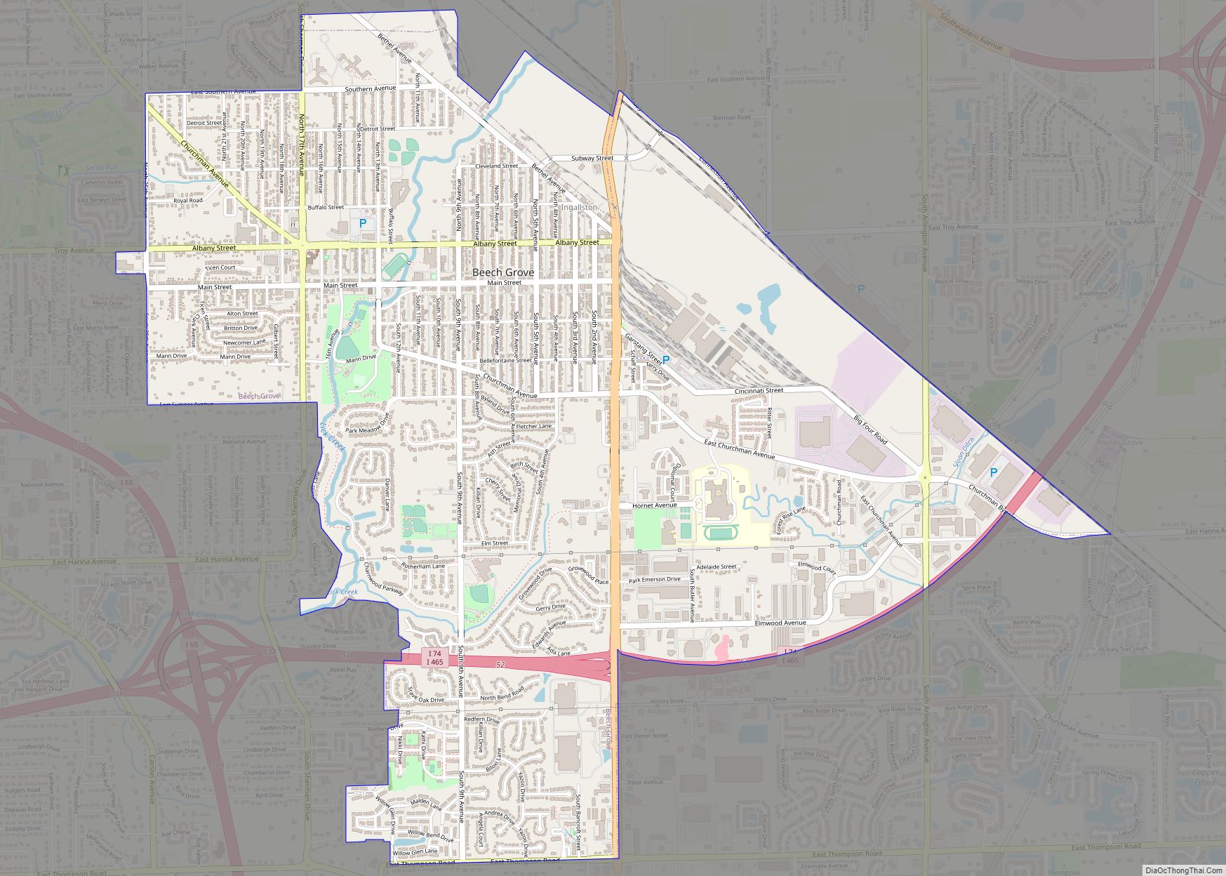
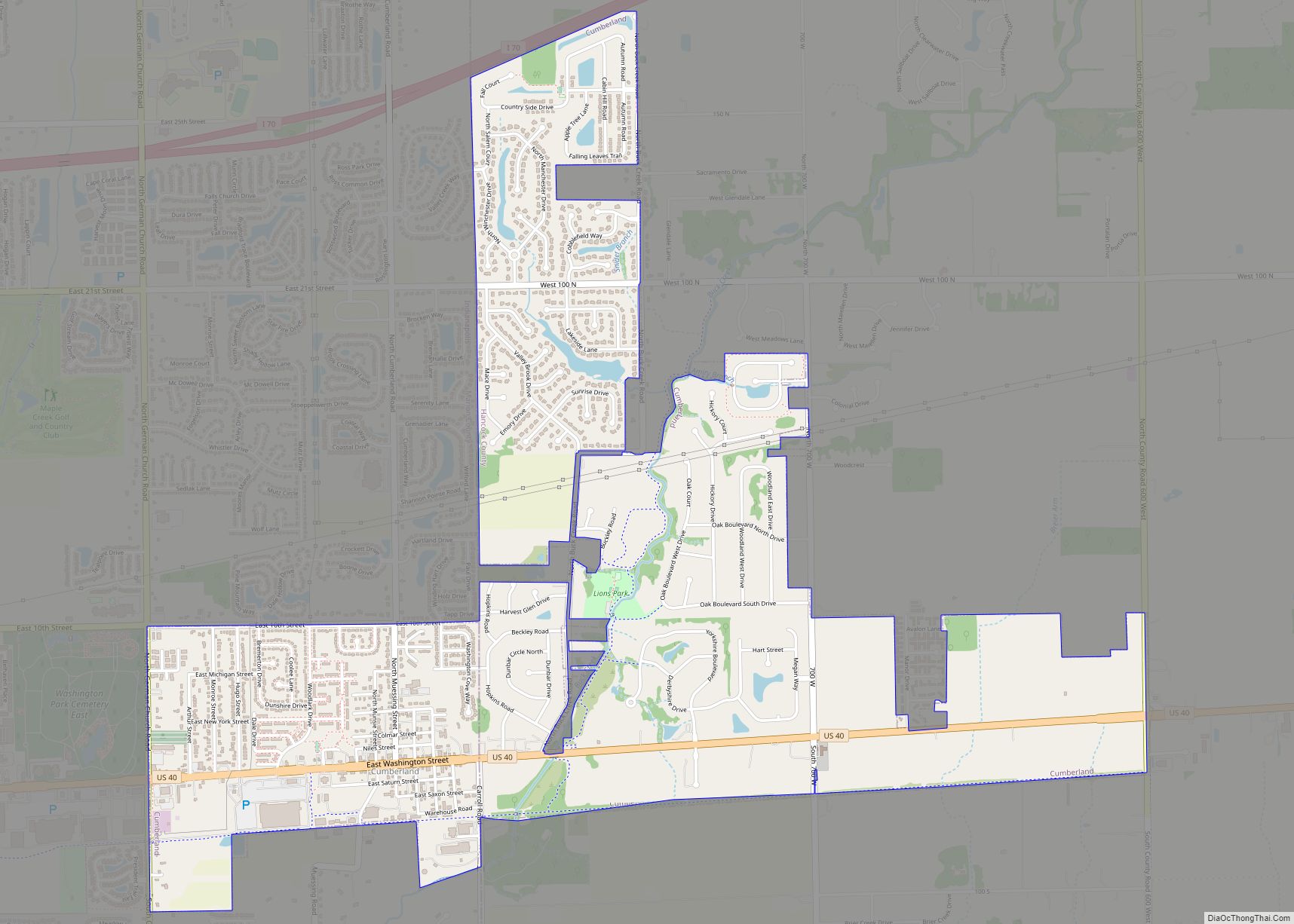
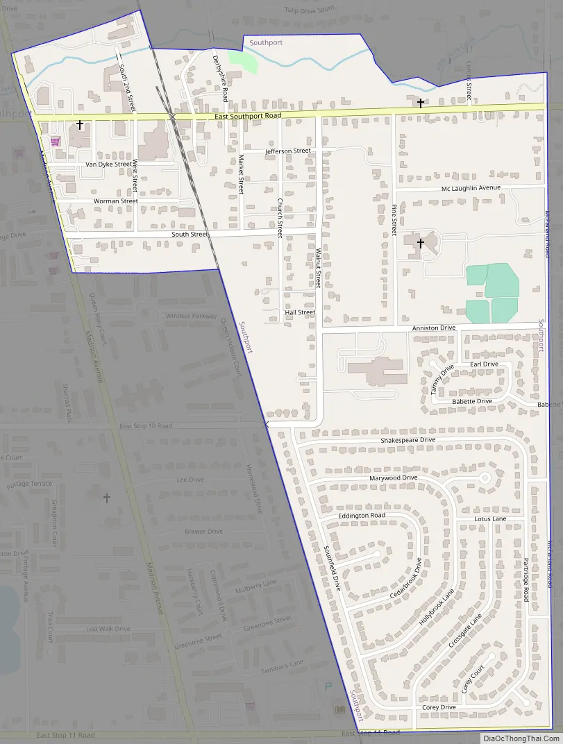
Southport Road Map
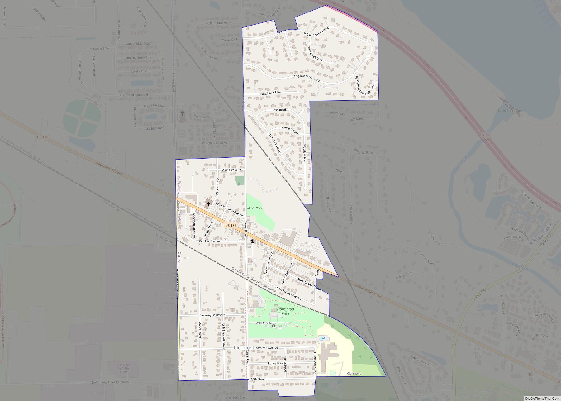
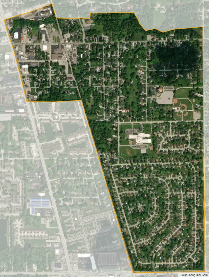
Southport city Satellite Map
Geography
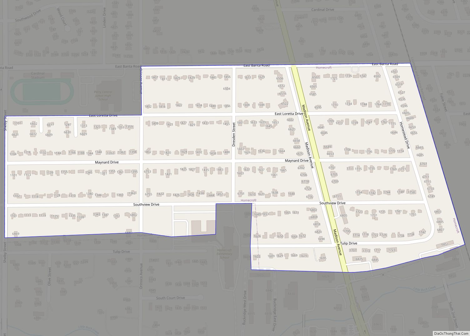
Southport is located in southern Marion County at 39°39′41″N 86°7′7″W / 39.66139°N 86.11861°W / 39.66139; -86.11861 (39.661259, -86.118515). It is bordered to the north by the town of Homecroft. Downtown Indianapolis is 8 miles (13 km) to the north.
According to the U.S. Census Bureau, Southport has a total area of 0.63 square miles (1.63 km), all land. Little Buck Creek passes through the northern part of town, flowing generally west to the White River.
See also
Map of Indiana State and its subdivision:- Adams
- Allen
- Bartholomew
- Benton
- Blackford
- Boone
- Brown
- Carroll
- Cass
- Clark
- Clay
- Clinton
- Crawford
- Daviess
- De Kalb
- Dearborn
- Decatur
- Delaware
- Dubois
- Elkhart
- Fayette
- Floyd
- Fountain
- Franklin
- Fulton
- Gibson
- Grant
- Greene
- Hamilton
- Hancock
- Harrison
- Hendricks
- Henry
- Howard
- Huntington
- Jackson
- Jasper
- Jay
- Jefferson
- Jennings
- Johnson
- Knox
- Kosciusko
- LaGrange
- Lake
- Lake Michigan
- LaPorte
- Lawrence
- Madison
- Marion
- Marshall
- Martin
- Miami
- Monroe
- Montgomery
- Morgan
- Newton
- Noble
- Ohio
- Orange
- Owen
- Parke
- Perry
- Pike
- Porter
- Posey
- Pulaski
- Putnam
- Randolph
- Ripley
- Rush
- Saint Joseph
- Scott
- Shelby
- Spencer
- Starke
- Steuben
- Sullivan
- Switzerland
- Tippecanoe
- Tipton
- Union
- Vanderburgh
- Vermillion
- Vigo
- Wabash
- Warren
- Warrick
- Washington
- Wayne
- Wells
- White
- Whitley
- Alabama
- Alaska
- Arizona
- Arkansas
- California
- Colorado
- Connecticut
- Delaware
- District of Columbia
- Florida
- Georgia
- Hawaii
- Idaho
- Illinois
- Indiana
- Iowa
- Kansas
- Kentucky
- Louisiana
- Maine
- Maryland
- Massachusetts
- Michigan
- Minnesota
- Mississippi
- Missouri
- Montana
- Nebraska
- Nevada
- New Hampshire
- New Jersey
- New Mexico
- New York
- North Carolina
- North Dakota
- Ohio
- Oklahoma
- Oregon
- Pennsylvania
- Rhode Island
- South Carolina
- South Dakota
- Tennessee
- Texas
- Utah
- Vermont
- Virginia
- Washington
- West Virginia
- Wisconsin
- Wyoming