Speedway is a town in Wayne Township, Marion County, Indiana, United States. The population was 13,952 at the 2020 census, up from 11,812 in 2010. Speedway, which is an enclave of Indianapolis, is the home of the Indianapolis Motor Speedway.
| Name: | Speedway town |
|---|---|
| LSAD Code: | 43 |
| LSAD Description: | town (suffix) |
| State: | Indiana |
| County: | Marion County |
| Incorporated: | 1926 |
| Elevation: | 748 ft (228 m) |
| Total Area: | 4.79 sq mi (12.40 km²) |
| Land Area: | 4.79 sq mi (12.40 km²) |
| Water Area: | 0.00 sq mi (0.01 km²) |
| Total Population: | 13,952 |
| Population Density: | 2,915.17/sq mi (1,125.55/km²) |
| ZIP code: | 46224 |
| Area code: | 317 |
| FIPS code: | 1871828 |
| GNISfeature ID: | 0443930 |
| Website: | www.speedwayin.gov |
Online Interactive Map
Click on ![]() to view map in "full screen" mode.
to view map in "full screen" mode.
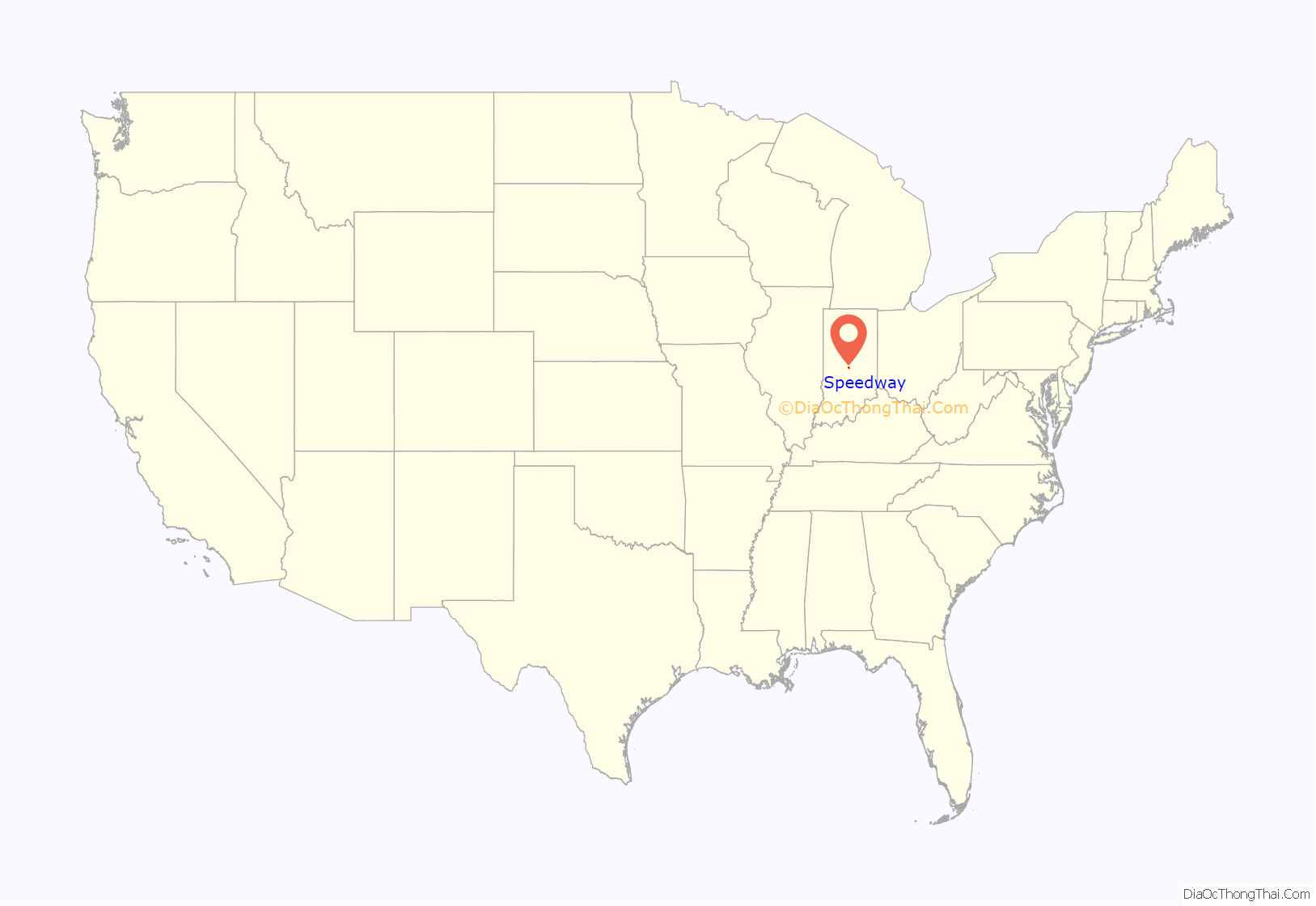
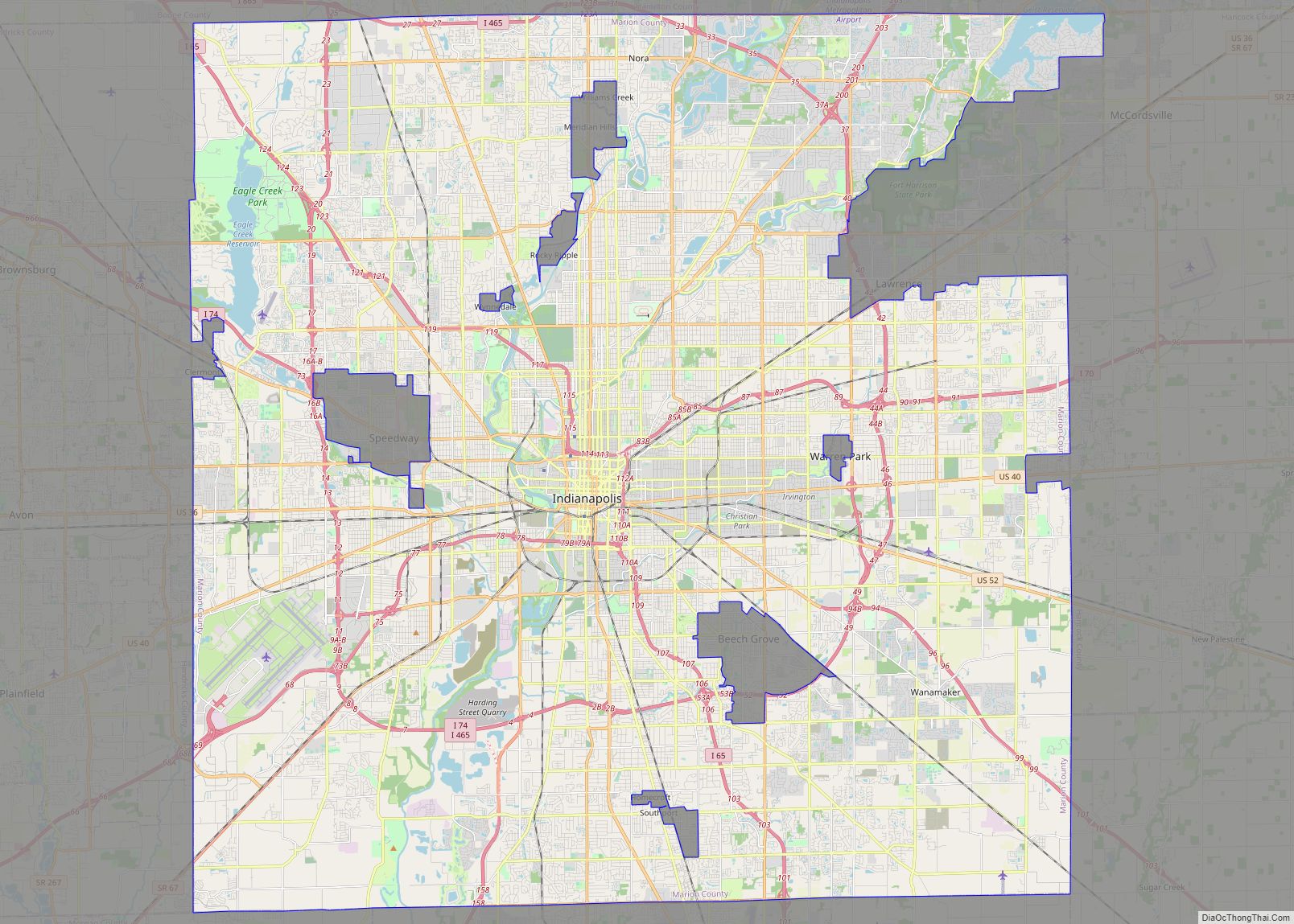
Speedway location map. Where is Speedway town?
History
Speedway was laid out in 1912 as a residential suburb. It took its name from the Indianapolis Motor Speedway, constructed three years earlier. It is an early example of a residential community planned for the industrial plants located nearby. Carl G. Fisher, James A. Allison, Frank Wheeler, and Arthur Newby, founders of the Indianapolis Motor Speedway, planned the suburb of Speedway west of the track. Fisher and Allison owned plants that needed workers, the Prest-O-Lite factory and Allison Engine Company. The investors’ goal was to create a city without horses, where residents would drive automobiles, as well as participate in creating mechanical parts for new modes of transportation.
The Speedway Historic District was listed on the National Register of Historic Places in 2005.
Speedway Road Map
Speedway city Satellite Map
Geography
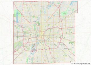
Speedway is located in western Marion County at 39°47′31″N 86°15′0″W / 39.79194°N 86.25000°W / 39.79194; -86.25000 (39.791943, −86.249988). It is 5 miles (8 km) west-northwest of downtown Indianapolis.
According to the U.S. Census Bureau, Speedway has a total area of 4.79 square miles (12.41 km), of which 0.004 square miles (0.01 km), or 0.08%, are water. The town is drained by Eagle Creek, which runs along the southwest edge of town, and its tributaries Dry Run and Little Eagle Creek, which flow past or around the speedway. Eagle Creek continues east to join the White River in southwest Marion County.
Climate
The climate in this area is characterized by hot, humid summers and generally mild to cool winters. According to the Köppen Climate Classification system, Speedway has a humid subtropical climate, Cfa on climate maps. With a January daily mean of −2 °C (28 °F) however, Speedway is very close to the humid continental type.
See also
Map of Indiana State and its subdivision:- Adams
- Allen
- Bartholomew
- Benton
- Blackford
- Boone
- Brown
- Carroll
- Cass
- Clark
- Clay
- Clinton
- Crawford
- Daviess
- De Kalb
- Dearborn
- Decatur
- Delaware
- Dubois
- Elkhart
- Fayette
- Floyd
- Fountain
- Franklin
- Fulton
- Gibson
- Grant
- Greene
- Hamilton
- Hancock
- Harrison
- Hendricks
- Henry
- Howard
- Huntington
- Jackson
- Jasper
- Jay
- Jefferson
- Jennings
- Johnson
- Knox
- Kosciusko
- LaGrange
- Lake
- Lake Michigan
- LaPorte
- Lawrence
- Madison
- Marion
- Marshall
- Martin
- Miami
- Monroe
- Montgomery
- Morgan
- Newton
- Noble
- Ohio
- Orange
- Owen
- Parke
- Perry
- Pike
- Porter
- Posey
- Pulaski
- Putnam
- Randolph
- Ripley
- Rush
- Saint Joseph
- Scott
- Shelby
- Spencer
- Starke
- Steuben
- Sullivan
- Switzerland
- Tippecanoe
- Tipton
- Union
- Vanderburgh
- Vermillion
- Vigo
- Wabash
- Warren
- Warrick
- Washington
- Wayne
- Wells
- White
- Whitley
- Alabama
- Alaska
- Arizona
- Arkansas
- California
- Colorado
- Connecticut
- Delaware
- District of Columbia
- Florida
- Georgia
- Hawaii
- Idaho
- Illinois
- Indiana
- Iowa
- Kansas
- Kentucky
- Louisiana
- Maine
- Maryland
- Massachusetts
- Michigan
- Minnesota
- Mississippi
- Missouri
- Montana
- Nebraska
- Nevada
- New Hampshire
- New Jersey
- New Mexico
- New York
- North Carolina
- North Dakota
- Ohio
- Oklahoma
- Oregon
- Pennsylvania
- Rhode Island
- South Carolina
- South Dakota
- Tennessee
- Texas
- Utah
- Vermont
- Virginia
- Washington
- West Virginia
- Wisconsin
- Wyoming
