Westphalia is an unincorporated community and census-designated place (CDP) in Vigo Township, Knox County, Indiana. As of the 2010 census it had a population of 202.
| Name: | Westphalia CDP |
|---|---|
| LSAD Code: | 57 |
| LSAD Description: | CDP (suffix) |
| State: | Indiana |
| County: | Knox County |
| Elevation: | 466 ft (142 m) |
| Total Area: | 2.06 sq mi (5.34 km²) |
| Land Area: | 2.06 sq mi (5.34 km²) |
| Water Area: | 0.00 sq mi (0.00 km²) |
| Total Population: | 181 |
| Population Density: | 87.78/sq mi (33.89/km²) |
| ZIP code: | 47596 |
| FIPS code: | 1883204 |
| GNISfeature ID: | 445855 |
Online Interactive Map
Click on ![]() to view map in "full screen" mode.
to view map in "full screen" mode.
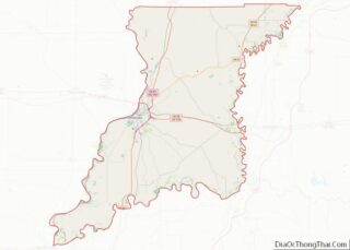
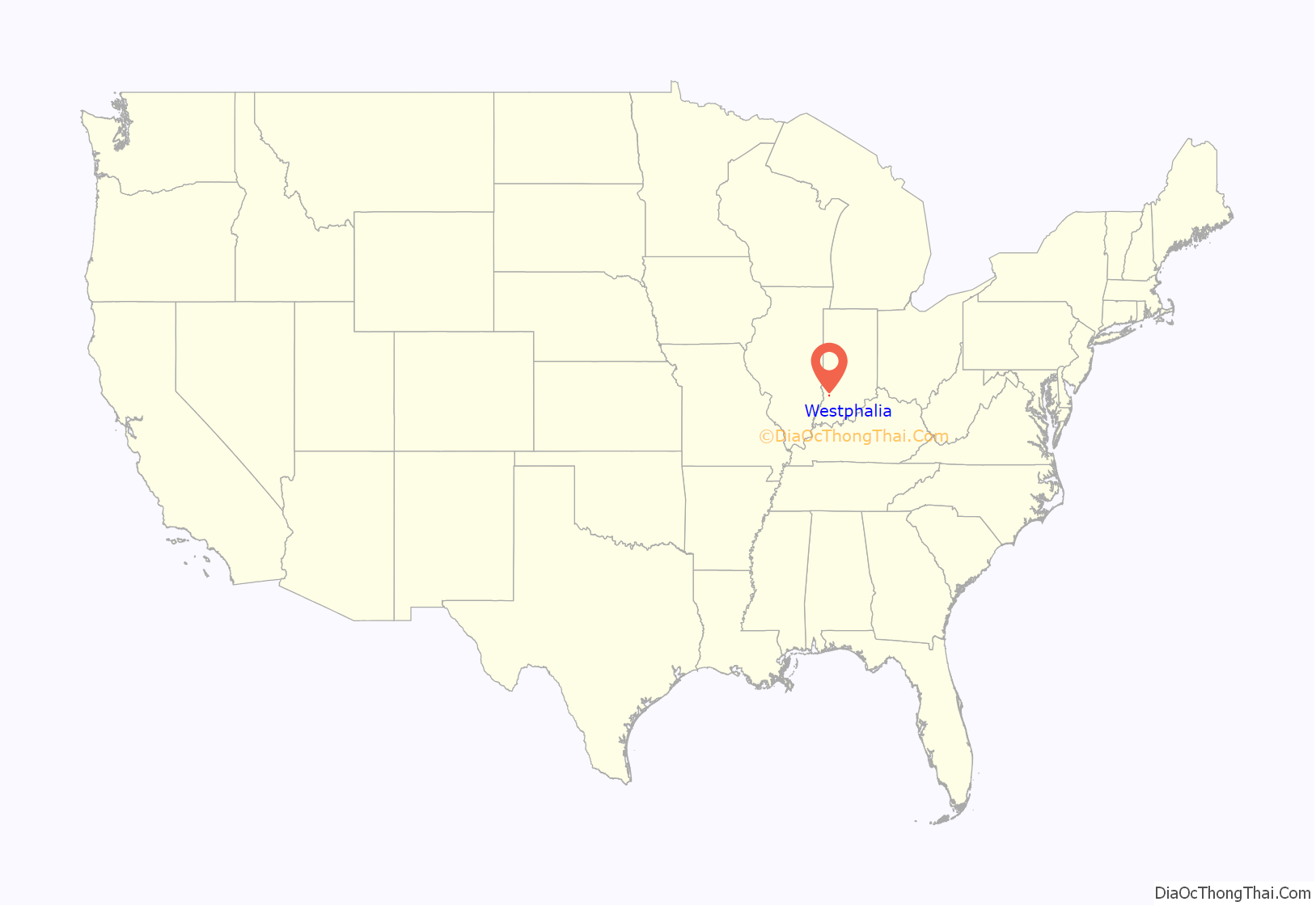
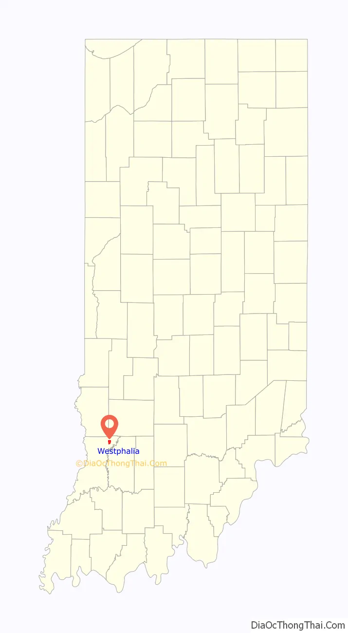
Westphalia location map. Where is Westphalia CDP?
History
Westphalia was laid out in 1881, and it was originally built up chiefly by Germans. It was named after the region of Westphalia in Germany. The Westphalia post office was established in 1881. Many businesses have existed over the history of Westphalia including a variety store, antique store, hotel, blacksmith, elevator, photo studio, mine supply and the Westphalia elementary school.
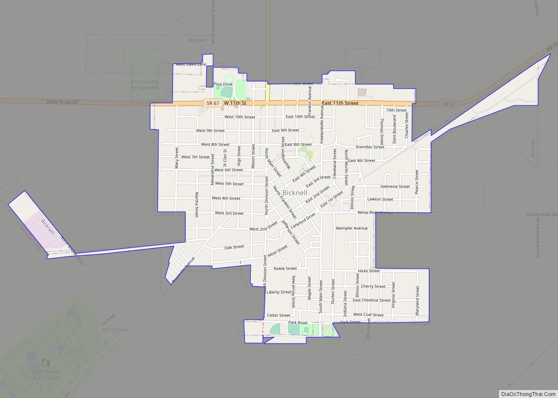
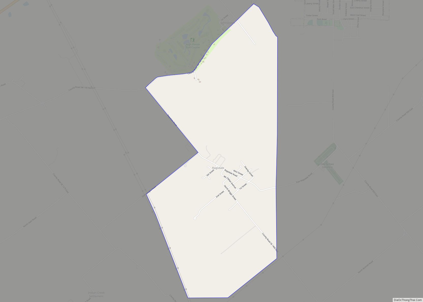
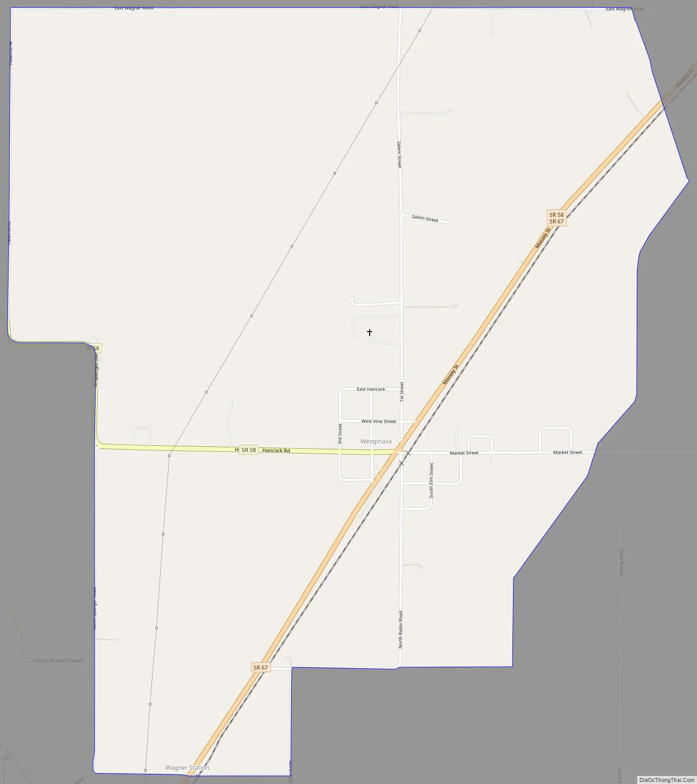
Westphalia Road Map
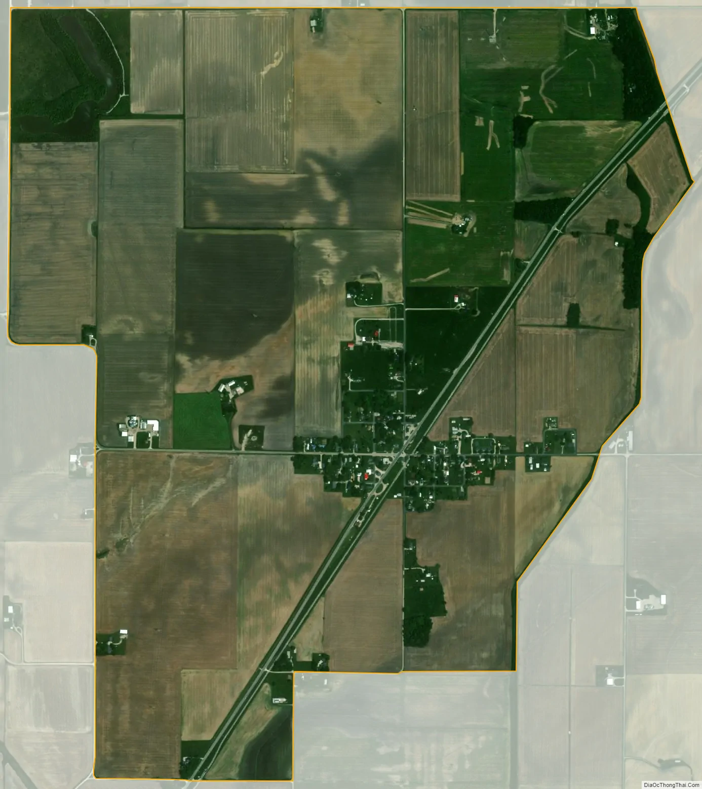
Westphalia city Satellite Map
Geography
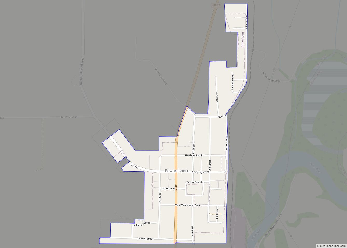
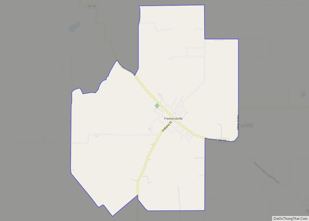
Westphalia is located in northeastern Knox County at 38°51′46″N 87°13′32″W / 38.86278°N 87.22556°W / 38.86278; -87.22556. Indiana State Road 67 passes through the center of the community, leading northeast 3 miles (5 km) to Sandborn and southwest 4 miles (6 km) to Edwardsport and 23 miles (37 km) to Vincennes, the Knox county seat. Indiana State Road 58 joins SR 67 northeast out of Westphalia but leads west 5 miles (8 km) to Freelandville.
According to the U.S. Census Bureau, the Westphalia CDP has an area of 2.06 square miles (5.34 km), all of it land.
See also
Map of Indiana State and its subdivision:- Adams
- Allen
- Bartholomew
- Benton
- Blackford
- Boone
- Brown
- Carroll
- Cass
- Clark
- Clay
- Clinton
- Crawford
- Daviess
- De Kalb
- Dearborn
- Decatur
- Delaware
- Dubois
- Elkhart
- Fayette
- Floyd
- Fountain
- Franklin
- Fulton
- Gibson
- Grant
- Greene
- Hamilton
- Hancock
- Harrison
- Hendricks
- Henry
- Howard
- Huntington
- Jackson
- Jasper
- Jay
- Jefferson
- Jennings
- Johnson
- Knox
- Kosciusko
- LaGrange
- Lake
- Lake Michigan
- LaPorte
- Lawrence
- Madison
- Marion
- Marshall
- Martin
- Miami
- Monroe
- Montgomery
- Morgan
- Newton
- Noble
- Ohio
- Orange
- Owen
- Parke
- Perry
- Pike
- Porter
- Posey
- Pulaski
- Putnam
- Randolph
- Ripley
- Rush
- Saint Joseph
- Scott
- Shelby
- Spencer
- Starke
- Steuben
- Sullivan
- Switzerland
- Tippecanoe
- Tipton
- Union
- Vanderburgh
- Vermillion
- Vigo
- Wabash
- Warren
- Warrick
- Washington
- Wayne
- Wells
- White
- Whitley
- Alabama
- Alaska
- Arizona
- Arkansas
- California
- Colorado
- Connecticut
- Delaware
- District of Columbia
- Florida
- Georgia
- Hawaii
- Idaho
- Illinois
- Indiana
- Iowa
- Kansas
- Kentucky
- Louisiana
- Maine
- Maryland
- Massachusetts
- Michigan
- Minnesota
- Mississippi
- Missouri
- Montana
- Nebraska
- Nevada
- New Hampshire
- New Jersey
- New Mexico
- New York
- North Carolina
- North Dakota
- Ohio
- Oklahoma
- Oregon
- Pennsylvania
- Rhode Island
- South Carolina
- South Dakota
- Tennessee
- Texas
- Utah
- Vermont
- Virginia
- Washington
- West Virginia
- Wisconsin
- Wyoming