Winona Lake is a town in Wayne Township, Kosciusko County, in the U.S. state of Indiana, and the major suburb of Warsaw. The population was 4,908 at the 2010 census.
| Name: | Winona Lake town |
|---|---|
| LSAD Code: | 43 |
| LSAD Description: | town (suffix) |
| State: | Indiana |
| County: | Kosciusko County |
| Elevation: | 817 ft (249 m) |
| Total Area: | 3.43 sq mi (8.89 km²) |
| Land Area: | 2.94 sq mi (7.61 km²) |
| Water Area: | 0.49 sq mi (1.28 km²) |
| Total Population: | 5,053 |
| Population Density: | 1,720.46/sq mi (664.29/km²) |
| ZIP code: | 46590 |
| Area code: | 574 |
| FIPS code: | 1884950 |
| GNISfeature ID: | 446188 |
| Website: | http://www.winonalake.net/ |
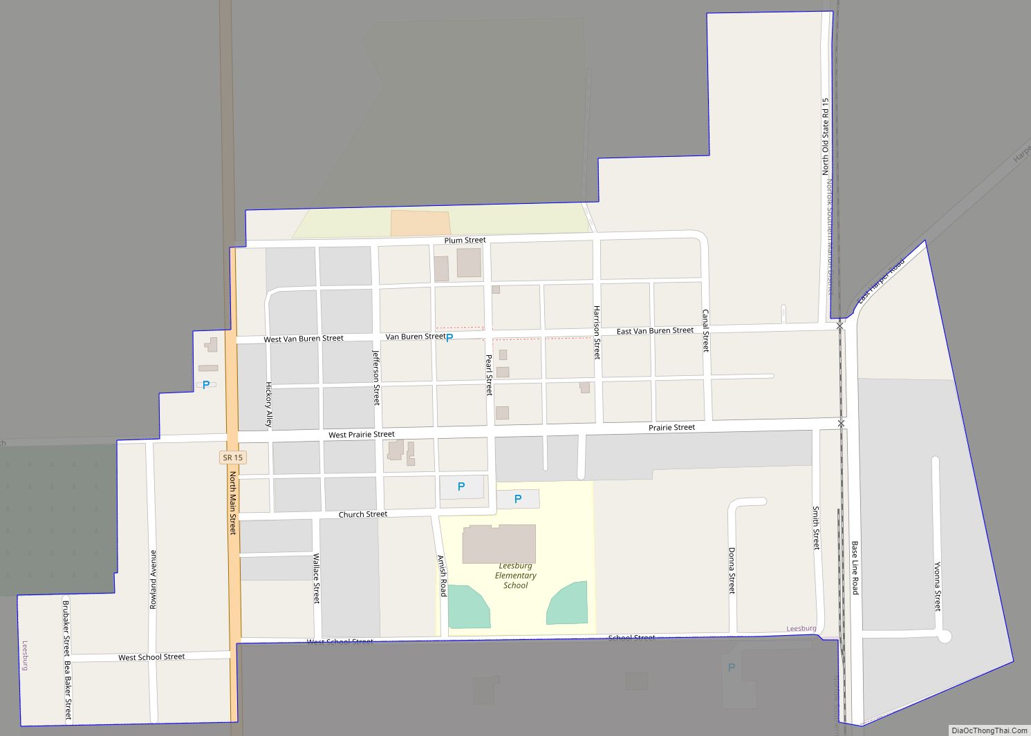
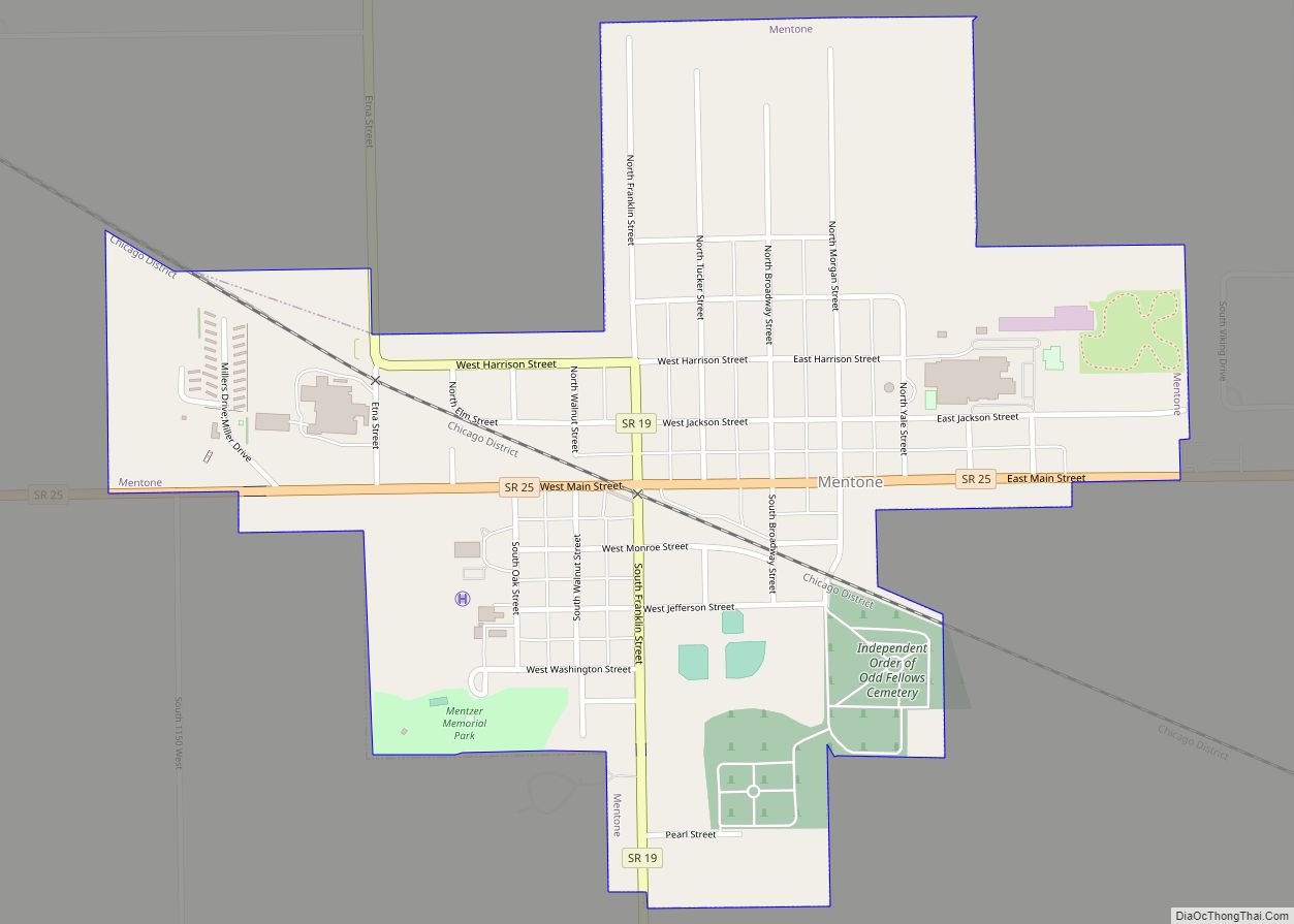
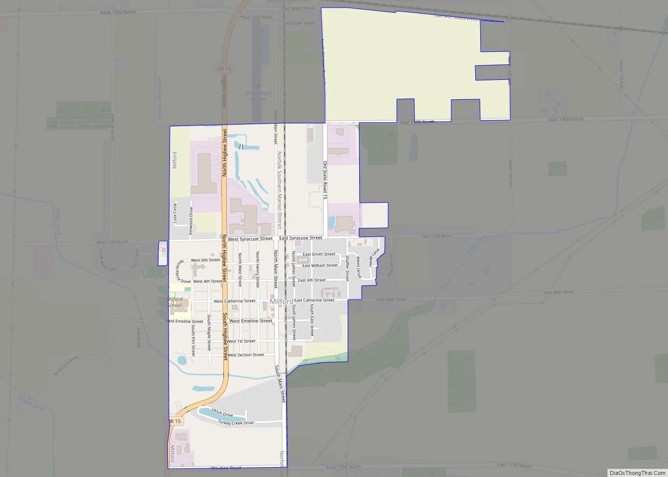
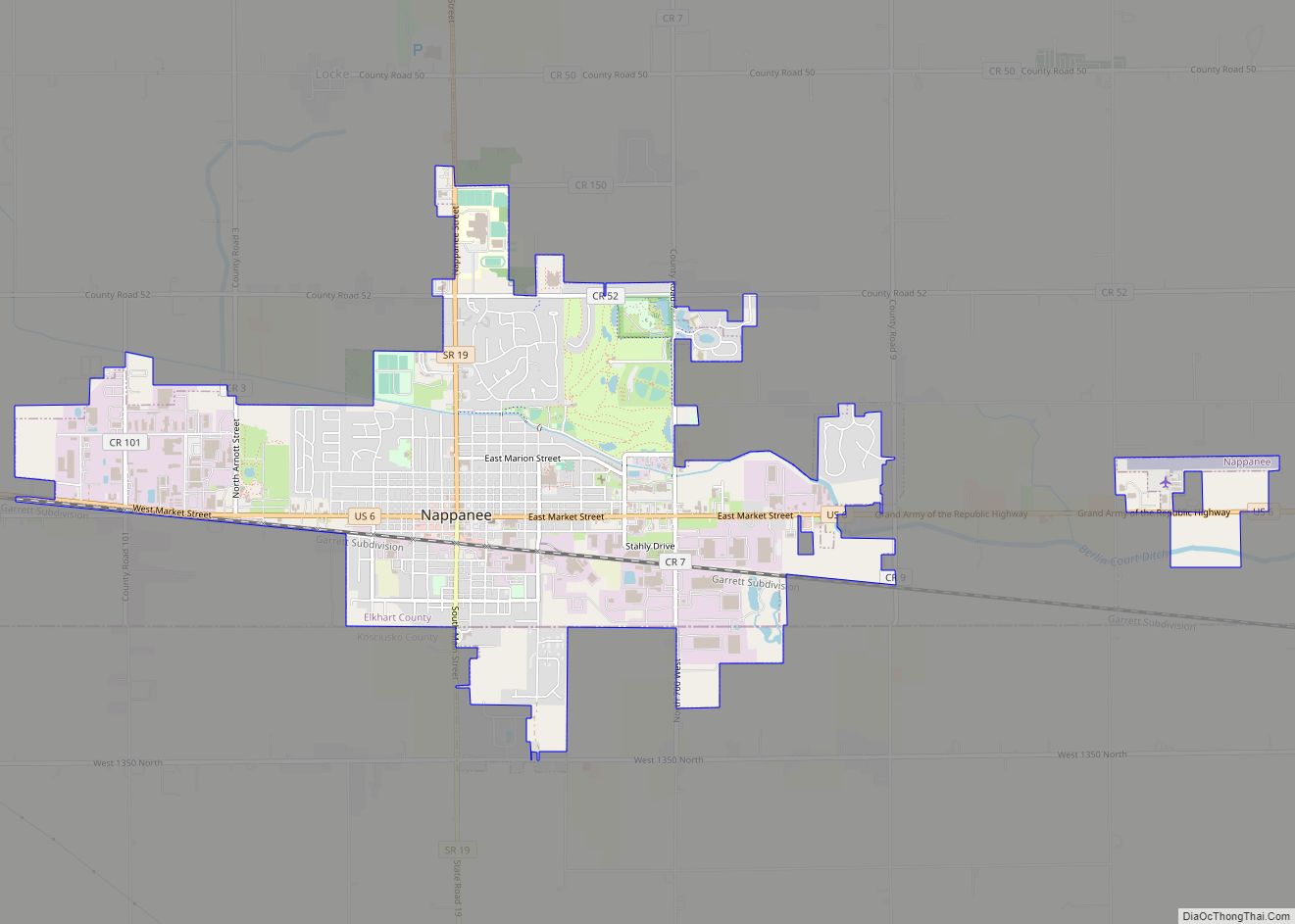
Online Interactive Map
Click on ![]() to view map in "full screen" mode.
to view map in "full screen" mode.
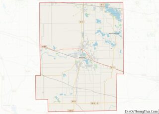
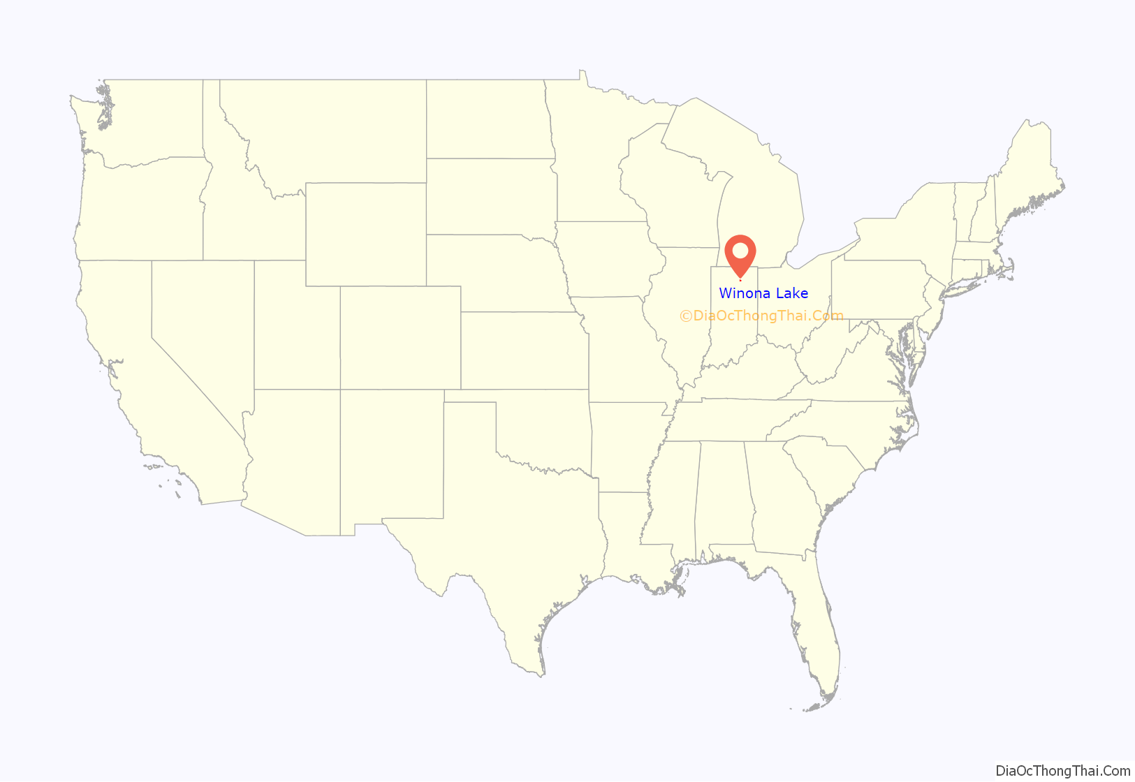
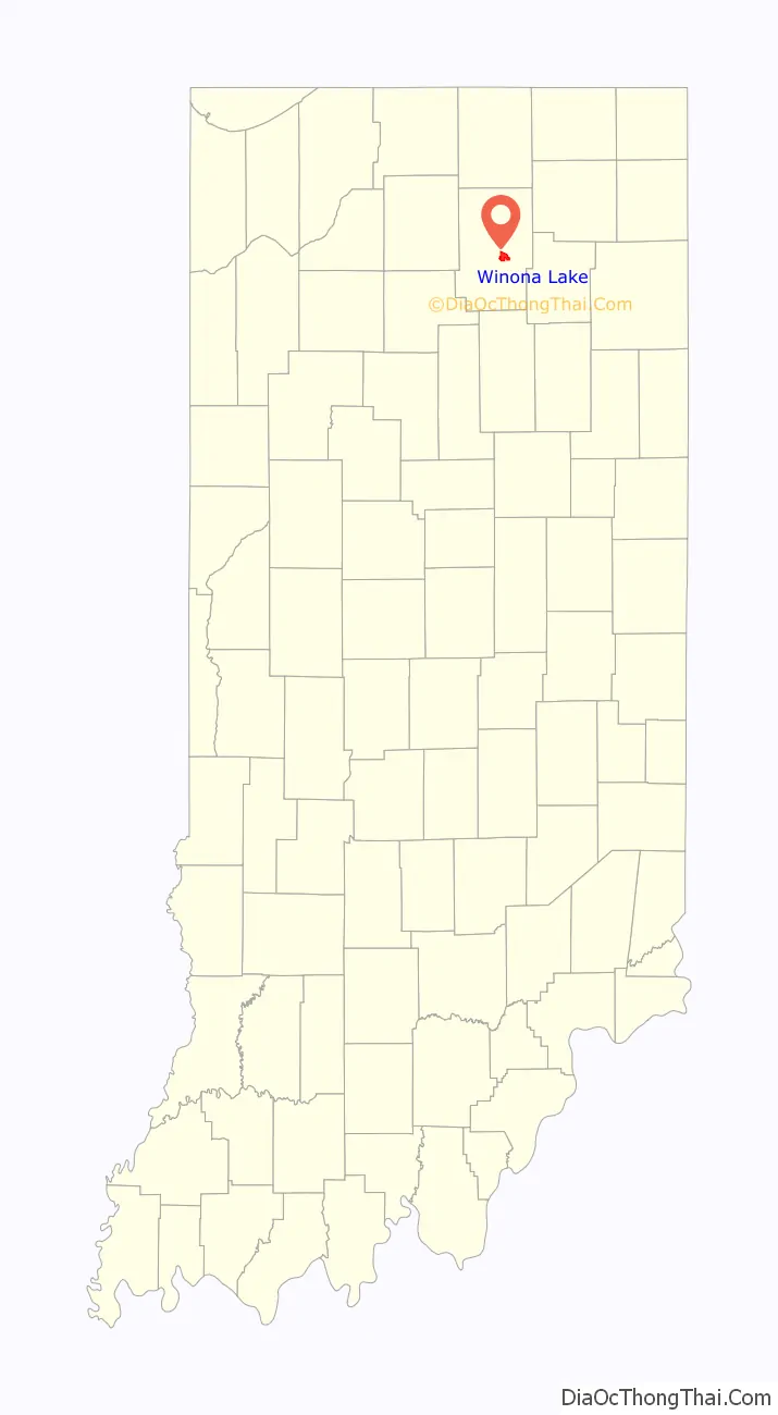
Winona Lake location map. Where is Winona Lake town?
History
Winona Lake is best known for the lake it is named after and built on, although the lake was originally known as Eagle Lake. Located along the eastern shore of the lake, the Winona Lake Historic District includes various historic homes and other buildings that attest to the area’s history as a Chautauqua and Bible conference hotspot. It is also the home of Grace College and Grace Theological Seminary and was the home of famed preacher and professional baseball player Billy Sunday who died in 1935. The Billy Sunday Home has been preserved as a museum. Christian musician and preacher Homer Rodeheaver also made Winona Lake his home from 1912 until his death in 1955. The Winona School of Professional Photography was started there in 1912 (as the Indiana School of Photography) and was operated by the Professional Photographers of America (PPA) until its move to Chicago (Mount Prospect) in 1988. Famous photographers from around the world taught there during summer-only classes. The now defunct Winona College was founded here, and the Winona Lake School of Theology was located here from 1920 to 1970. Winona Lake was also home to the headquarters of The Free Methodist Church until it moved its offices to Indianapolis in 1990.
The Winona Lake Historic District was listed on the National Register of Historic Places in 1993.
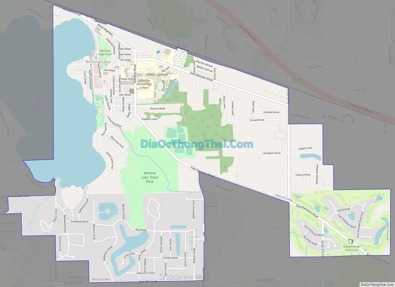
Winona Lake Road Map
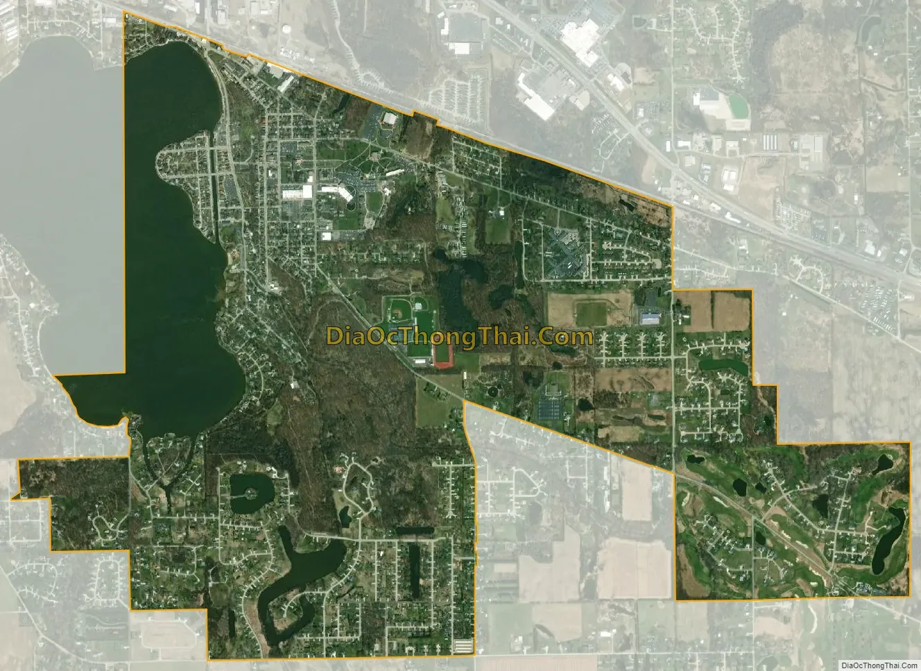
Winona Lake city Satellite Map
Geography
Winona Lake is located at 41°13′15″N 85°49′2″W / 41.22083°N 85.81722°W / 41.22083; -85.81722 (41.220818, -85.817118). It is now contiguous to Warsaw, the two towns having run into each other as they have expanded.
According to the 2010 census, Winona Lake has a total area of 3.25 square miles (8.42 km), of which 2.76 square miles (7.15 km) (or 84.92%) is land and 0.49 square miles (1.27 km) (or 15.08%) is water.
See also
Map of Indiana State and its subdivision:- Adams
- Allen
- Bartholomew
- Benton
- Blackford
- Boone
- Brown
- Carroll
- Cass
- Clark
- Clay
- Clinton
- Crawford
- Daviess
- De Kalb
- Dearborn
- Decatur
- Delaware
- Dubois
- Elkhart
- Fayette
- Floyd
- Fountain
- Franklin
- Fulton
- Gibson
- Grant
- Greene
- Hamilton
- Hancock
- Harrison
- Hendricks
- Henry
- Howard
- Huntington
- Jackson
- Jasper
- Jay
- Jefferson
- Jennings
- Johnson
- Knox
- Kosciusko
- LaGrange
- Lake
- Lake Michigan
- LaPorte
- Lawrence
- Madison
- Marion
- Marshall
- Martin
- Miami
- Monroe
- Montgomery
- Morgan
- Newton
- Noble
- Ohio
- Orange
- Owen
- Parke
- Perry
- Pike
- Porter
- Posey
- Pulaski
- Putnam
- Randolph
- Ripley
- Rush
- Saint Joseph
- Scott
- Shelby
- Spencer
- Starke
- Steuben
- Sullivan
- Switzerland
- Tippecanoe
- Tipton
- Union
- Vanderburgh
- Vermillion
- Vigo
- Wabash
- Warren
- Warrick
- Washington
- Wayne
- Wells
- White
- Whitley
- Alabama
- Alaska
- Arizona
- Arkansas
- California
- Colorado
- Connecticut
- Delaware
- District of Columbia
- Florida
- Georgia
- Hawaii
- Idaho
- Illinois
- Indiana
- Iowa
- Kansas
- Kentucky
- Louisiana
- Maine
- Maryland
- Massachusetts
- Michigan
- Minnesota
- Mississippi
- Missouri
- Montana
- Nebraska
- Nevada
- New Hampshire
- New Jersey
- New Mexico
- New York
- North Carolina
- North Dakota
- Ohio
- Oklahoma
- Oregon
- Pennsylvania
- Rhode Island
- South Carolina
- South Dakota
- Tennessee
- Texas
- Utah
- Vermont
- Virginia
- Washington
- West Virginia
- Wisconsin
- Wyoming