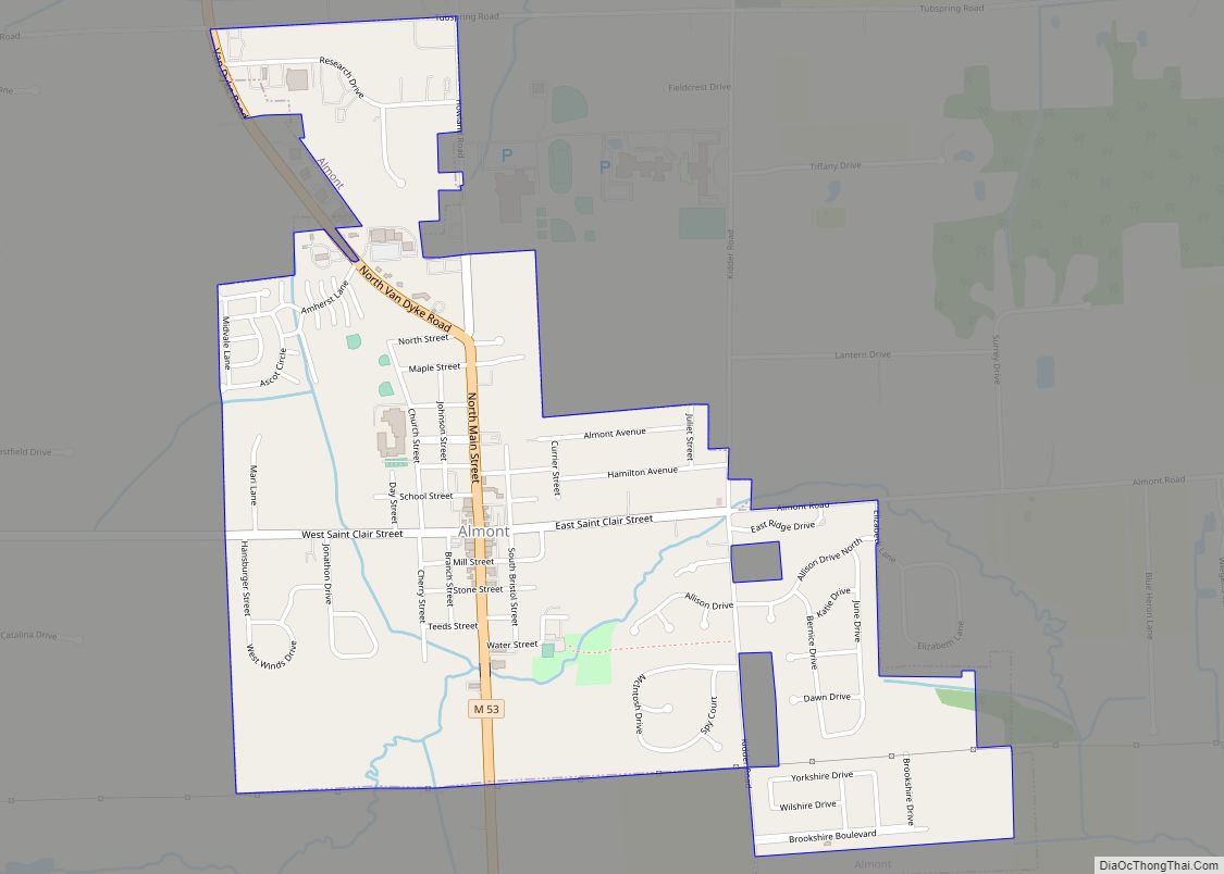
Almont is a village in Almont Township, Lapeer County, Michigan. Its population was 2,846 at the 2020 census.
| Name: | Almont village |
|---|---|
| LSAD Code: | 47 |
| LSAD Description: | village (suffix) |
| State: | Michigan |
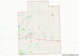
| County: | Lapeer County |
| Elevation: | 850 ft (259 m) |
| Total Area: | 1.34 sq mi (3.48 km²) |
| Land Area: | 1.34 sq mi (3.48 km²) |
| Water Area: | 0.00 sq mi (0.00 km²) |
| Total Population: | 2,846 |
| Population Density: | 2,117.56/sq mi (817.45/km²) |
| ZIP code: | 48003 |
| Area code: | 810 |
| FIPS code: | 2601660 |
| GNISfeature ID: | 2397941 |
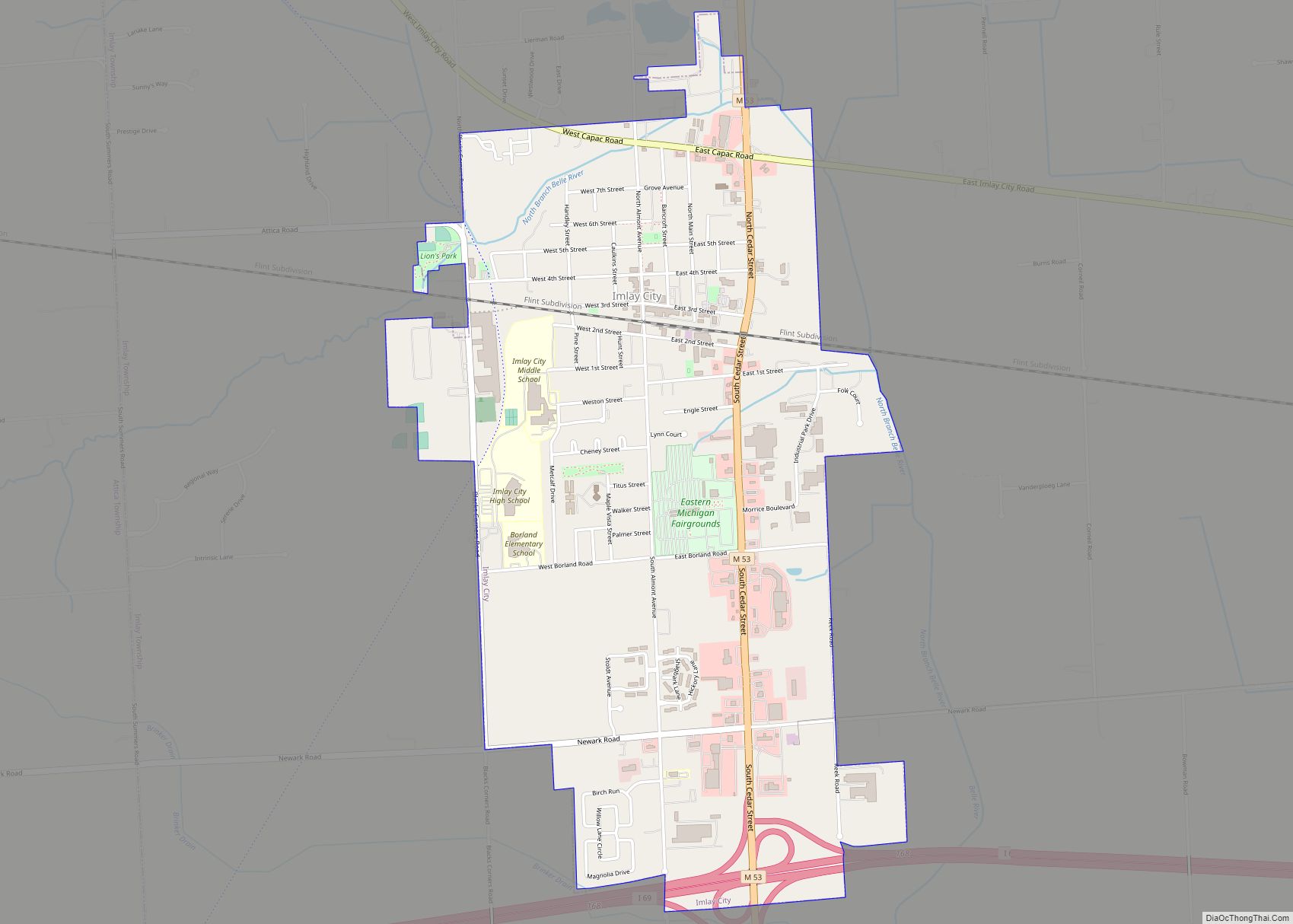
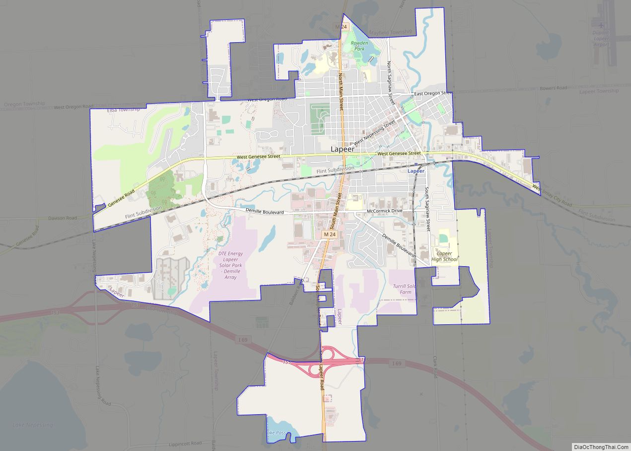
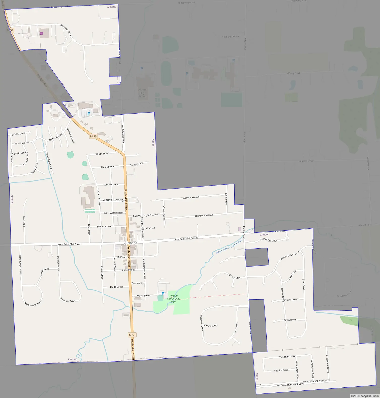
Online Interactive Map
Click on ![]() to view map in "full screen" mode.
to view map in "full screen" mode.
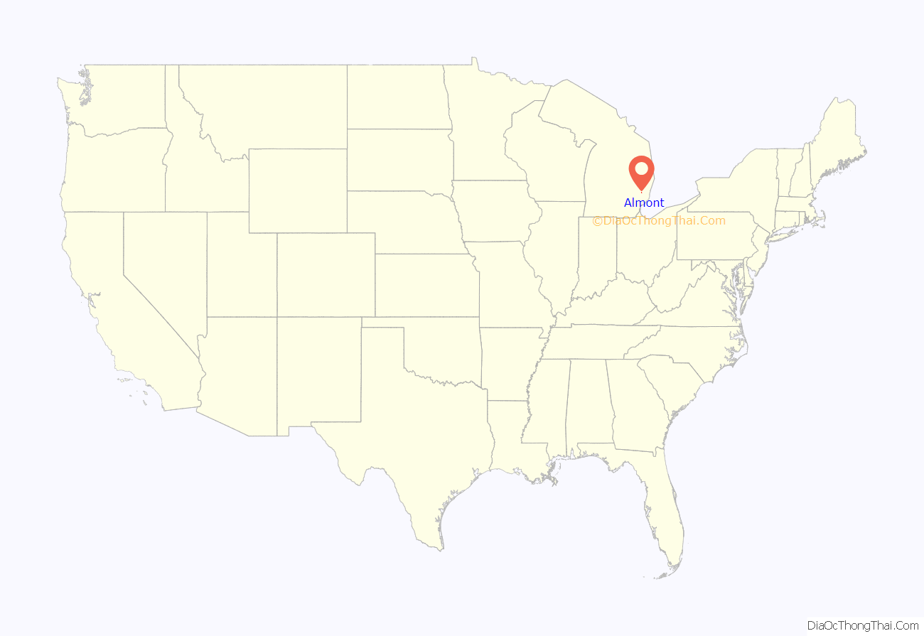
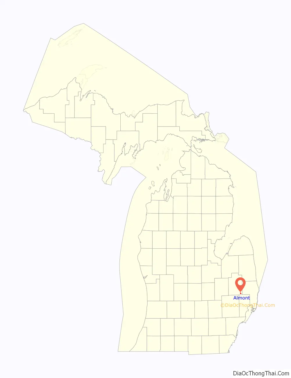
Almont location map. Where is Almont village?
History
Almont was first settled in 1828 by James Deneen. It received a post office in 1835 named Bristol, for Oliver Bristol, the second permanent settler. The village was platted as Newburg in 1836, and renamed Almont in 1846.
The naming of Almont
According to HildaMae Bowman’s “Almont, The Tale of Then and Now,” Almont’s name was changed in 1845 to honor the Mexican general, Juan Almonte.
Almont Road Map
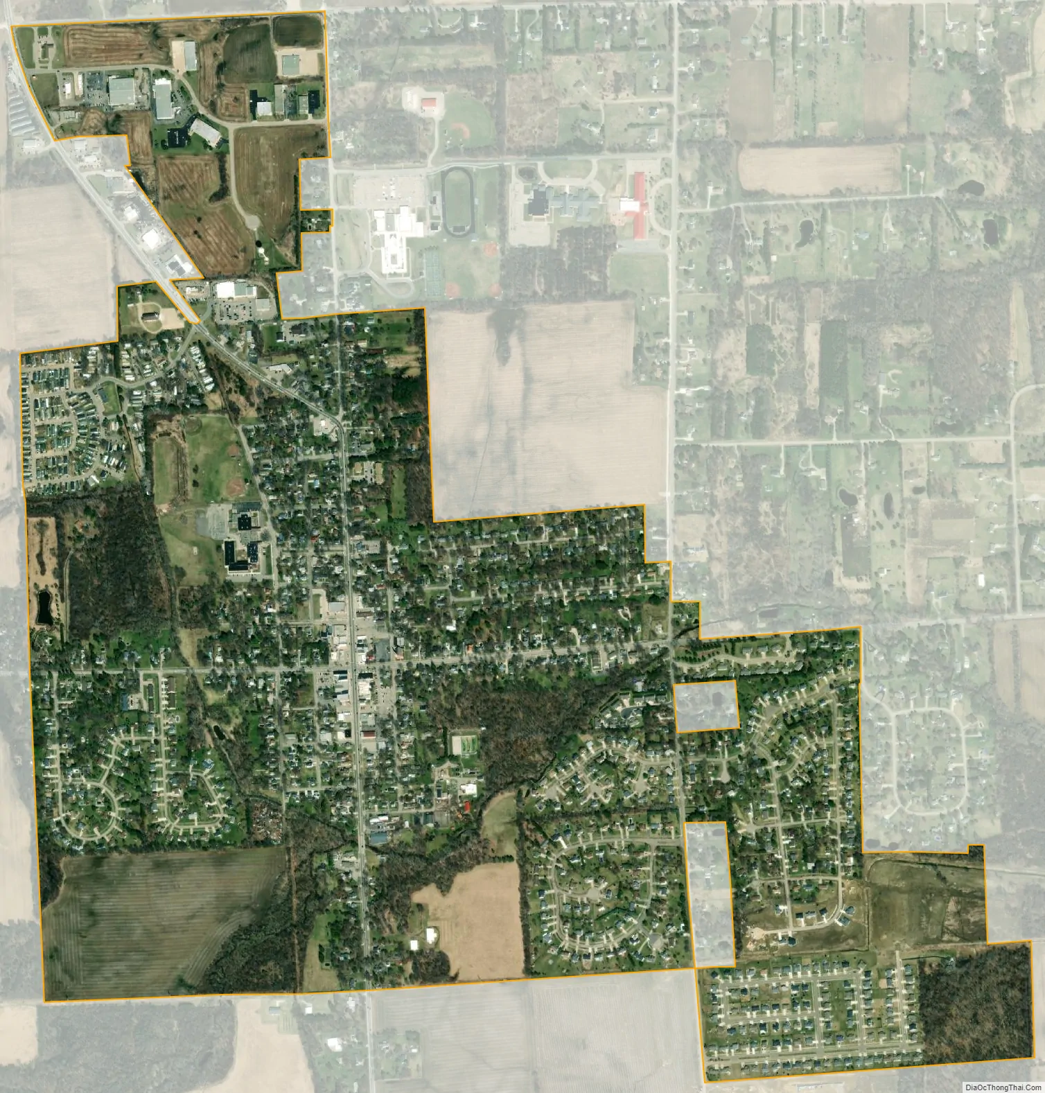
Almont city Satellite Map
Geography
According to the United States Census Bureau, the village has a total area of 1.42 square miles (3.68 km), all land. The village center of Almont is located at the intersection of M-53 (also known as Van Dyke) and St. Clair Street. To the east, St. Clair is known as Almont Road, and to the west it is known as General Squire Road. In addition, this is also sometimes deemed as “40 Mile Road”, although the nearby ascending “mile roads” officially end at “37 Mile Road”. Nearby towns include Bruce Township and Romeo to the south; Dryden to the northwest; Imlay City to the north; and Allenton to the east, and Capac to the northeast. Almont is approximately 40 miles (64 km) north of Detroit.
See also
Map of Michigan State and its subdivision:- Alcona
- Alger
- Allegan
- Alpena
- Antrim
- Arenac
- Baraga
- Barry
- Bay
- Benzie
- Berrien
- Branch
- Calhoun
- Cass
- Charlevoix
- Cheboygan
- Chippewa
- Clare
- Clinton
- Crawford
- Delta
- Dickinson
- Eaton
- Emmet
- Genesee
- Gladwin
- Gogebic
- Grand Traverse
- Gratiot
- Hillsdale
- Houghton
- Huron
- Ingham
- Ionia
- Iosco
- Iron
- Isabella
- Jackson
- Kalamazoo
- Kalkaska
- Kent
- Keweenaw
- Lake
- Lake Hurron
- Lake Michigan
- Lake St. Clair
- Lake Superior
- Lapeer
- Leelanau
- Lenawee
- Livingston
- Luce
- Mackinac
- Macomb
- Manistee
- Marquette
- Mason
- Mecosta
- Menominee
- Midland
- Missaukee
- Monroe
- Montcalm
- Montmorency
- Muskegon
- Newaygo
- Oakland
- Oceana
- Ogemaw
- Ontonagon
- Osceola
- Oscoda
- Otsego
- Ottawa
- Presque Isle
- Roscommon
- Saginaw
- Saint Clair
- Saint Joseph
- Sanilac
- Schoolcraft
- Shiawassee
- Tuscola
- Van Buren
- Washtenaw
- Wayne
- Wexford
- Alabama
- Alaska
- Arizona
- Arkansas
- California
- Colorado
- Connecticut
- Delaware
- District of Columbia
- Florida
- Georgia
- Hawaii
- Idaho
- Illinois
- Indiana
- Iowa
- Kansas
- Kentucky
- Louisiana
- Maine
- Maryland
- Massachusetts
- Michigan
- Minnesota
- Mississippi
- Missouri
- Montana
- Nebraska
- Nevada
- New Hampshire
- New Jersey
- New Mexico
- New York
- North Carolina
- North Dakota
- Ohio
- Oklahoma
- Oregon
- Pennsylvania
- Rhode Island
- South Carolina
- South Dakota
- Tennessee
- Texas
- Utah
- Vermont
- Virginia
- Washington
- West Virginia
- Wisconsin
- Wyoming