Armada (/ɑːrˈmeɪdə/ ar-MAY-duh) is a village in Macomb County in the U.S. state of Michigan. The population was 1,684 at the 2020 census. The village is located within Armada Township. It is best known for its annual Armada Fair.
| Name: | Armada village |
|---|---|
| LSAD Code: | 47 |
| LSAD Description: | village (suffix) |
| State: | Michigan |
| County: | Macomb County |
| Elevation: | 745 ft (227 m) |
| Total Area: | 0.74 sq mi (1.91 km²) |
| Land Area: | 0.74 sq mi (1.91 km²) |
| Water Area: | 0.00 sq mi (0.00 km²) |
| Total Population: | 1,684 |
| Population Density: | 2,284.94/sq mi (881.96/km²) |
| Area code: | 586 |
| FIPS code: | 2603520 |
| GNISfeature ID: | 2397987 |
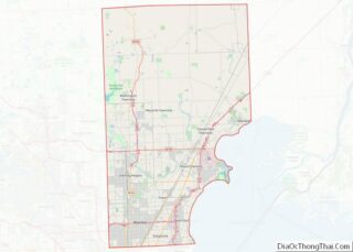
Online Interactive Map
Click on ![]() to view map in "full screen" mode.
to view map in "full screen" mode.
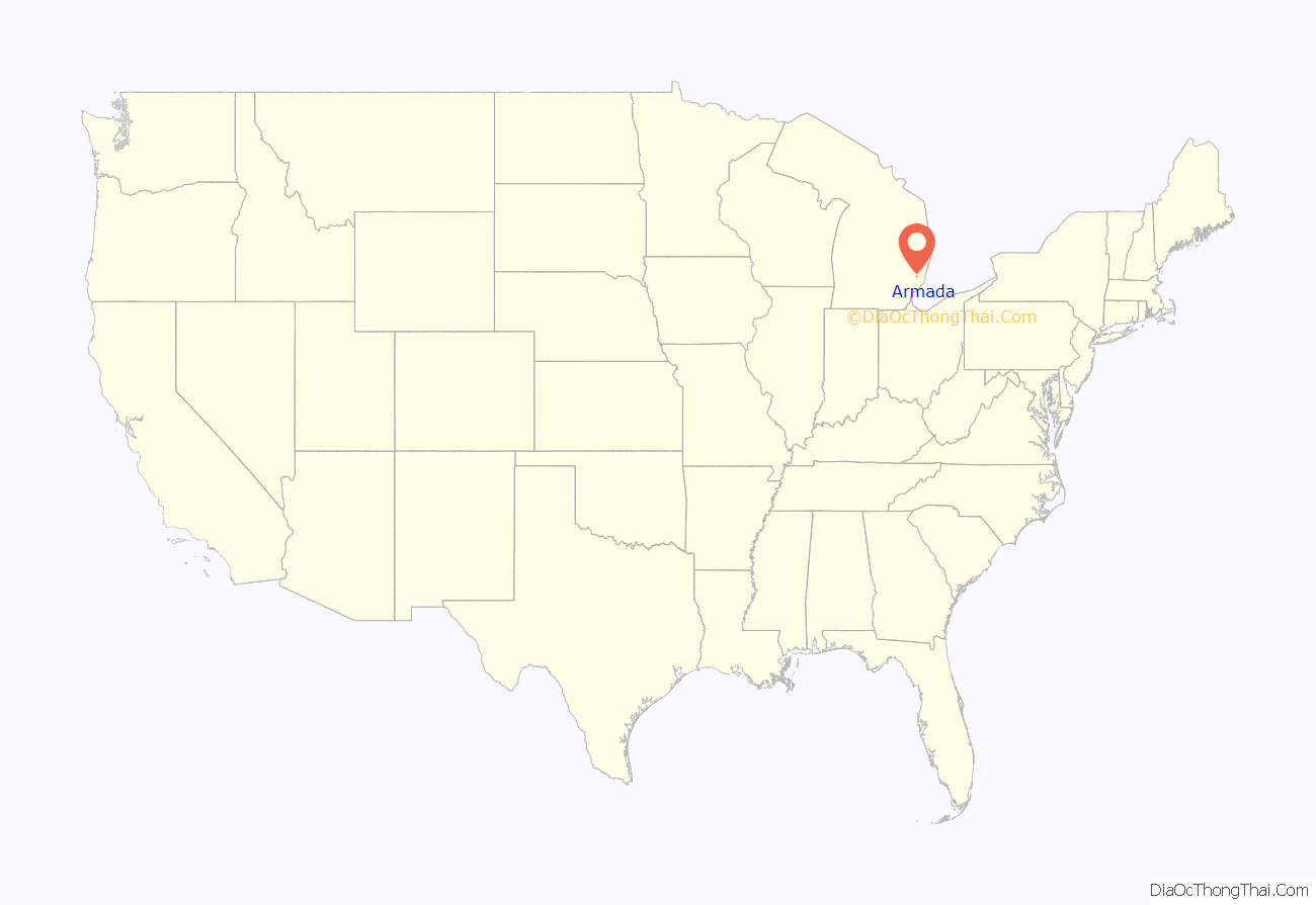
Armada location map. Where is Armada village?
History
The first record of land purchased in the area that became Armada Township was made by John Proctor in 1825. Twenty-three more families had bought land in the rural area by 1832. Until 1832 the area was part of Ray Township. At that time a meeting was called to organize a separate township. The vote won by two and Armada Township was founded. When the discussion began to choose the name for the new township, legend says that “Hosea Northrup jumped up and shouted the name ‘Armada'”. The name was accepted.
Several communities were founded within the township, which was originally developed for agriculture. What became the village of Armada was founded in 1833 by Elijah Burke; it was originally called Burke’s Corners after him. The village began to prosper when residents improved the old Indian trail for use as a roadway in the early 1830s. The road soon became part of the immigrant and migrant road network between Romeo and Port Huron, Michigan. Today this is known as Armada Ridge Road.
Burke’s Corners was briefly renamed Honeoye, for the New York hometown of several newly arrived migrants. When the village was finally incorporated in the late 1860s, it was officially named Armada, the same as the township. By then the village had about 800 inhabitants.
During the late nineteenth and early twentieth centuries, the village had a stagecoach stop, an opera house, a theater, seven grocery stores, three hotels, three hardware stores, a lumberyard, a grain mill, two implement dealers, a bakery, five doctors, several blacksmiths shops, and a drug store.
The first school in Armada was a one-room schoolhouse located at Selleck’s Corners. Soon schools were built all around the township. These one-room schools were consolidated during the 1940s. At that time, children were bused into town to attend the schools of the consolidated district.
Armada’s interest in education was demonstrated in the early 20th century by their applying to the Carnegie Foundation for matching funds in order to build and operate a public library. Andrew Carnegie’s program was based on providing grants to villages and towns that would both provide matching funds for construction and commit to supporting all operations and maintenance of libraries. The residents committee of the township asked for $8,000 toward building a permanent township library. The Armada Free Public Library was built in 1915 and is still being used to provide library service in the early 21st century.
A number of fraternal organizations, a literary club, a science club, and the Armada Cornet Band were among the social outlets for villagers and township residents.
The Michigan Air-Line Railroad connected Armada to other cities in Michigan and elsewhere. Passengers and freight were processed through the two-door depot at the foot of Church Street. A cartage company delivered the freight to uptown businesses by horse and wagon.
In 2014, the village was shut down due to an investigation by Michigan State Police and the FBI of the murder of 14-year-old April Millsap, who was walking her dog on the Macomb Orchard Trail. Her body was found just outside the city limits. In 2016 a jury found the 34-year-old defendant, James VanCallis, a man from St. Clair County, to be guilty of four counts associated with the murder. He was sentenced to life in prison.
Following this, residents came together to support their community. In a July 2019 Reader’s Digest vote, Armada was selected as the “Nicest Place in Michigan.” It was a finalist for the magazine’s “50 Nicest Places in America” story.
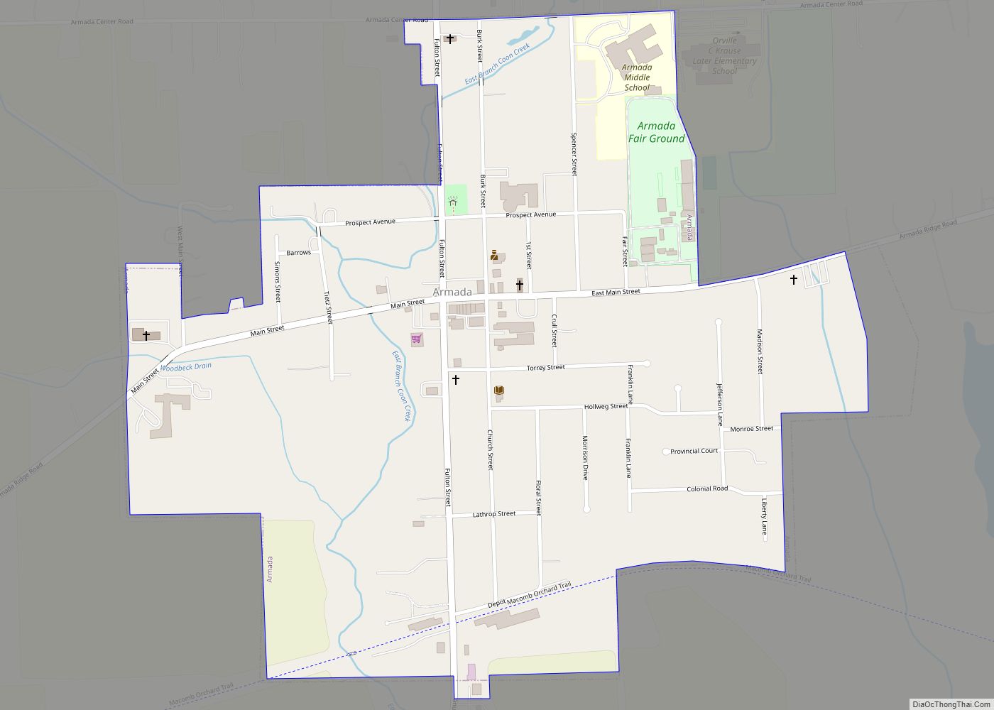
Armada Road Map
Armada city Satellite Map
Geography
According to the United States Census Bureau, the village has a total area of 0.76 square miles (1.97 km), all land.
See also
Map of Michigan State and its subdivision:- Alcona
- Alger
- Allegan
- Alpena
- Antrim
- Arenac
- Baraga
- Barry
- Bay
- Benzie
- Berrien
- Branch
- Calhoun
- Cass
- Charlevoix
- Cheboygan
- Chippewa
- Clare
- Clinton
- Crawford
- Delta
- Dickinson
- Eaton
- Emmet
- Genesee
- Gladwin
- Gogebic
- Grand Traverse
- Gratiot
- Hillsdale
- Houghton
- Huron
- Ingham
- Ionia
- Iosco
- Iron
- Isabella
- Jackson
- Kalamazoo
- Kalkaska
- Kent
- Keweenaw
- Lake
- Lake Hurron
- Lake Michigan
- Lake St. Clair
- Lake Superior
- Lapeer
- Leelanau
- Lenawee
- Livingston
- Luce
- Mackinac
- Macomb
- Manistee
- Marquette
- Mason
- Mecosta
- Menominee
- Midland
- Missaukee
- Monroe
- Montcalm
- Montmorency
- Muskegon
- Newaygo
- Oakland
- Oceana
- Ogemaw
- Ontonagon
- Osceola
- Oscoda
- Otsego
- Ottawa
- Presque Isle
- Roscommon
- Saginaw
- Saint Clair
- Saint Joseph
- Sanilac
- Schoolcraft
- Shiawassee
- Tuscola
- Van Buren
- Washtenaw
- Wayne
- Wexford
- Alabama
- Alaska
- Arizona
- Arkansas
- California
- Colorado
- Connecticut
- Delaware
- District of Columbia
- Florida
- Georgia
- Hawaii
- Idaho
- Illinois
- Indiana
- Iowa
- Kansas
- Kentucky
- Louisiana
- Maine
- Maryland
- Massachusetts
- Michigan
- Minnesota
- Mississippi
- Missouri
- Montana
- Nebraska
- Nevada
- New Hampshire
- New Jersey
- New Mexico
- New York
- North Carolina
- North Dakota
- Ohio
- Oklahoma
- Oregon
- Pennsylvania
- Rhode Island
- South Carolina
- South Dakota
- Tennessee
- Texas
- Utah
- Vermont
- Virginia
- Washington
- West Virginia
- Wisconsin
- Wyoming
