Madison Heights is a city in Oakland County in the U.S. state of Michigan. As of the 2010 census, its population was 29,694. It is a northern suburb of Metro Detroit, about 2 miles (3.2 km) north of the Detroit city limits.
| Name: | Madison Heights city |
|---|---|
| LSAD Code: | 25 |
| LSAD Description: | city (suffix) |
| State: | Michigan |
| County: | Oakland County |
| Incorporated: | 1955 |
| Elevation: | 633 ft (193 m) |
| Land Area: | 7.09 sq mi (18.35 km²) |
| Water Area: | 0.00 sq mi (0.00 km²) |
| Population Density: | 4,017.50/sq mi (1,551.15/km²) |
| Area code: | 248 |
| FIPS code: | 2650560 |
| GNISfeature ID: | 0631311 |
Online Interactive Map
Click on ![]() to view map in "full screen" mode.
to view map in "full screen" mode.
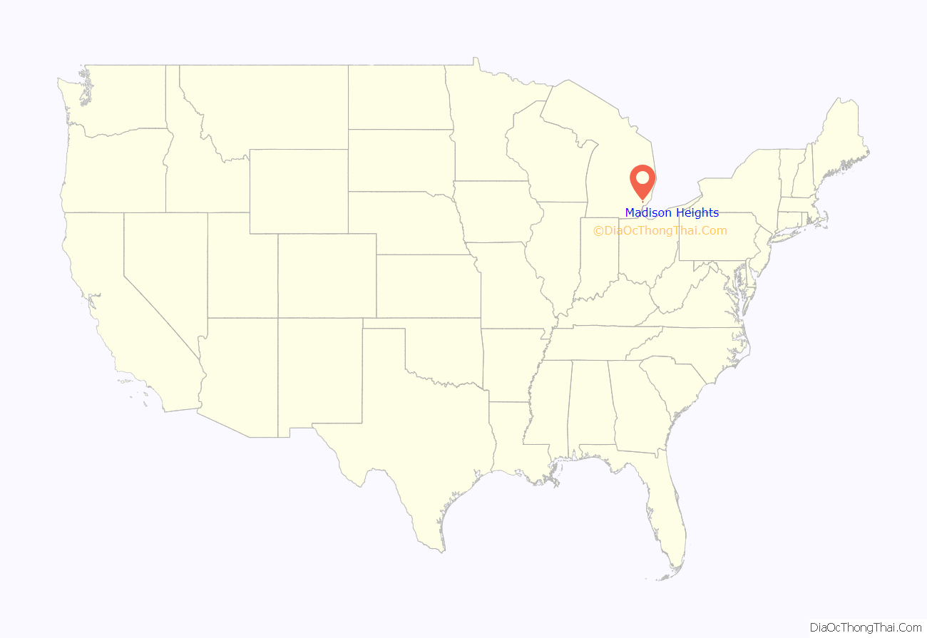
Madison Heights location map. Where is Madison Heights city?

History
Originally part of Royal Oak Township, Madison Heights incorporated as a city by popular vote on January 17, 1955, and chartered on December 6 of that same year, becoming the tenth city government in southern Oakland County. At that time, the 7.2 square miles (18.6 km) city was one of the largest suburban communities in the Metro Detroit area. The first city hall was at 26305 John R Road, the former township offices. On April 5, 1963, a new municipal building was dedicated which is on the present location at 300 West Thirteen Mile Road. The city lies in the Interstate 696 (I-696) and I-75 corridor and is served by two primary school districts, Lamphere and Madison, as well as a full-service municipal government.
The mayor of Madison Heights is Roslyn Grafstein, who was appointed as Mayor in August 2020 to fill a vacant seat.
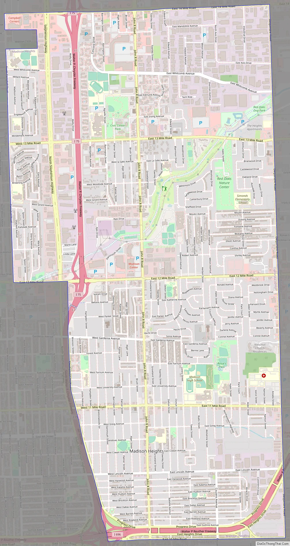
Madison Heights Road Map
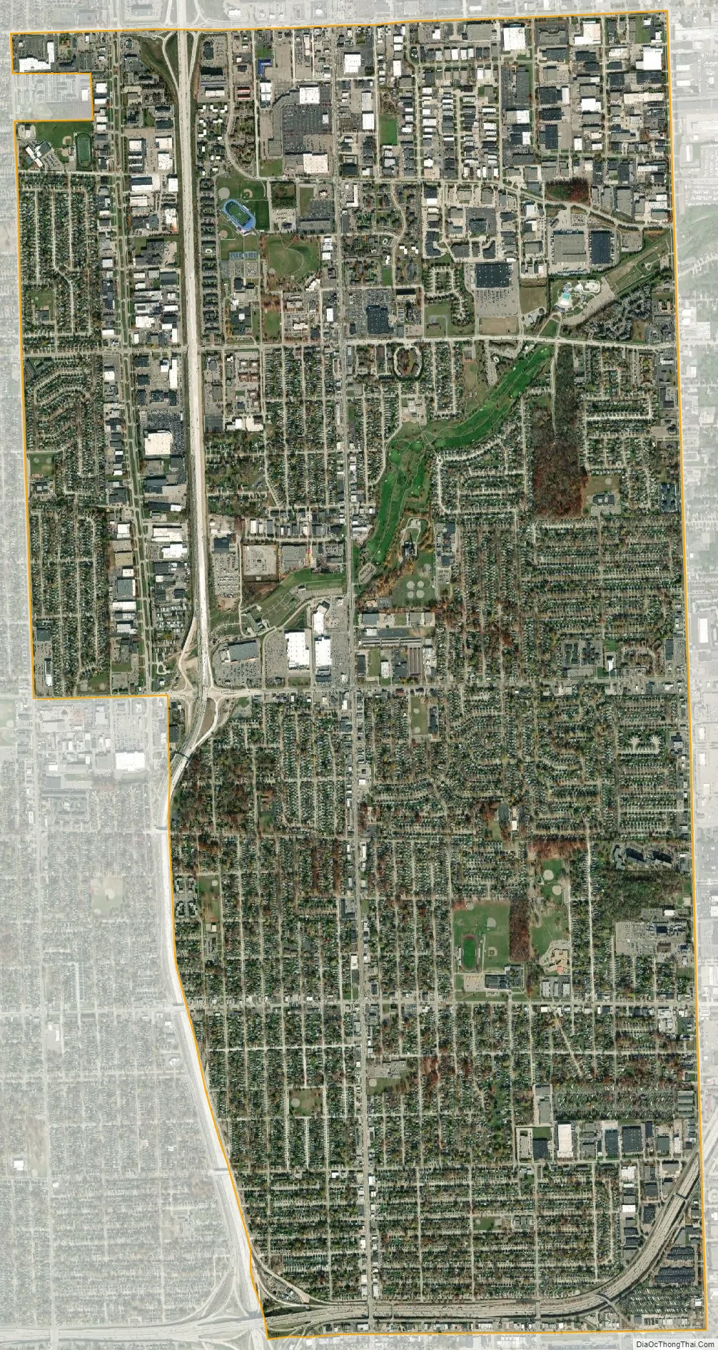
Madison Heights city Satellite Map
Geography
According to the United States Census Bureau, the city has a total area of 7.09 square miles (18.36 km), all land.
Although 91% of the buildings in Madison Heights are single-family homes or condominiums (approximately 9,800 residential property owners), 60% of the tax base is fueled by light industrial or commercial property. The city has 15 voting precincts, totaling more than 21,000 registered voters. Robert Earl Richardson was the first Chief of Police when the city was chartered in December 1955.
Madison Heights shares borders with Troy to the north, Royal Oak to the west, Hazel Park to the south, and Warren to the east. The eastern border of Madison Heights (Dequindre Road) is also the border between Oakland and Macomb counties.
There are more than 112 miles (180 km) of road within Madison Heights, of which the city maintains 105 miles (169 km), 95 miles (153 km) for snow removal, sweeping, and patching. Interstate 75 passes north to south on the west side of the city, and Interstate 696 is the major feature of its southern border. The junction of these two highways is shared with Royal Oak and Hazel Park on the southwest corner of Madison Heights.
See also
Map of Michigan State and its subdivision:- Alcona
- Alger
- Allegan
- Alpena
- Antrim
- Arenac
- Baraga
- Barry
- Bay
- Benzie
- Berrien
- Branch
- Calhoun
- Cass
- Charlevoix
- Cheboygan
- Chippewa
- Clare
- Clinton
- Crawford
- Delta
- Dickinson
- Eaton
- Emmet
- Genesee
- Gladwin
- Gogebic
- Grand Traverse
- Gratiot
- Hillsdale
- Houghton
- Huron
- Ingham
- Ionia
- Iosco
- Iron
- Isabella
- Jackson
- Kalamazoo
- Kalkaska
- Kent
- Keweenaw
- Lake
- Lake Hurron
- Lake Michigan
- Lake St. Clair
- Lake Superior
- Lapeer
- Leelanau
- Lenawee
- Livingston
- Luce
- Mackinac
- Macomb
- Manistee
- Marquette
- Mason
- Mecosta
- Menominee
- Midland
- Missaukee
- Monroe
- Montcalm
- Montmorency
- Muskegon
- Newaygo
- Oakland
- Oceana
- Ogemaw
- Ontonagon
- Osceola
- Oscoda
- Otsego
- Ottawa
- Presque Isle
- Roscommon
- Saginaw
- Saint Clair
- Saint Joseph
- Sanilac
- Schoolcraft
- Shiawassee
- Tuscola
- Van Buren
- Washtenaw
- Wayne
- Wexford
- Alabama
- Alaska
- Arizona
- Arkansas
- California
- Colorado
- Connecticut
- Delaware
- District of Columbia
- Florida
- Georgia
- Hawaii
- Idaho
- Illinois
- Indiana
- Iowa
- Kansas
- Kentucky
- Louisiana
- Maine
- Maryland
- Massachusetts
- Michigan
- Minnesota
- Mississippi
- Missouri
- Montana
- Nebraska
- Nevada
- New Hampshire
- New Jersey
- New Mexico
- New York
- North Carolina
- North Dakota
- Ohio
- Oklahoma
- Oregon
- Pennsylvania
- Rhode Island
- South Carolina
- South Dakota
- Tennessee
- Texas
- Utah
- Vermont
- Virginia
- Washington
- West Virginia
- Wisconsin
- Wyoming


