Montague is a city in Muskegon County in the U.S. state of Michigan. The population was 2,361 at the 2010 census. The city is located within Montague Township, but is politically independent.
The Montague ZIP code 49437 also serves all of Montague Township and White River Township, as well as a small portions of Whitehall Township and Blue Lake Township in Muskegon County and parts of Claybanks Township and Grant Township in Oceana County.
| Name: | Montague city |
|---|---|
| LSAD Code: | 25 |
| LSAD Description: | city (suffix) |
| State: | Michigan |
| County: | Muskegon County |
| Elevation: | 636 ft (194 m) |
| Total Area: | 3.14 sq mi (8.14 km²) |
| Land Area: | 2.63 sq mi (6.81 km²) |
| Water Area: | 0.52 sq mi (1.33 km²) |
| Total Population: | 2,417 |
| Population Density: | 920.06/sq mi (355.17/km²) |
| ZIP code: | 49437 |
| Area code: | 231 |
| FIPS code: | 2655100 |
| GNISfeature ID: | 1620880 |
| Website: | http://cityofmontague.org/ |
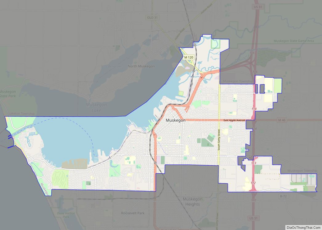
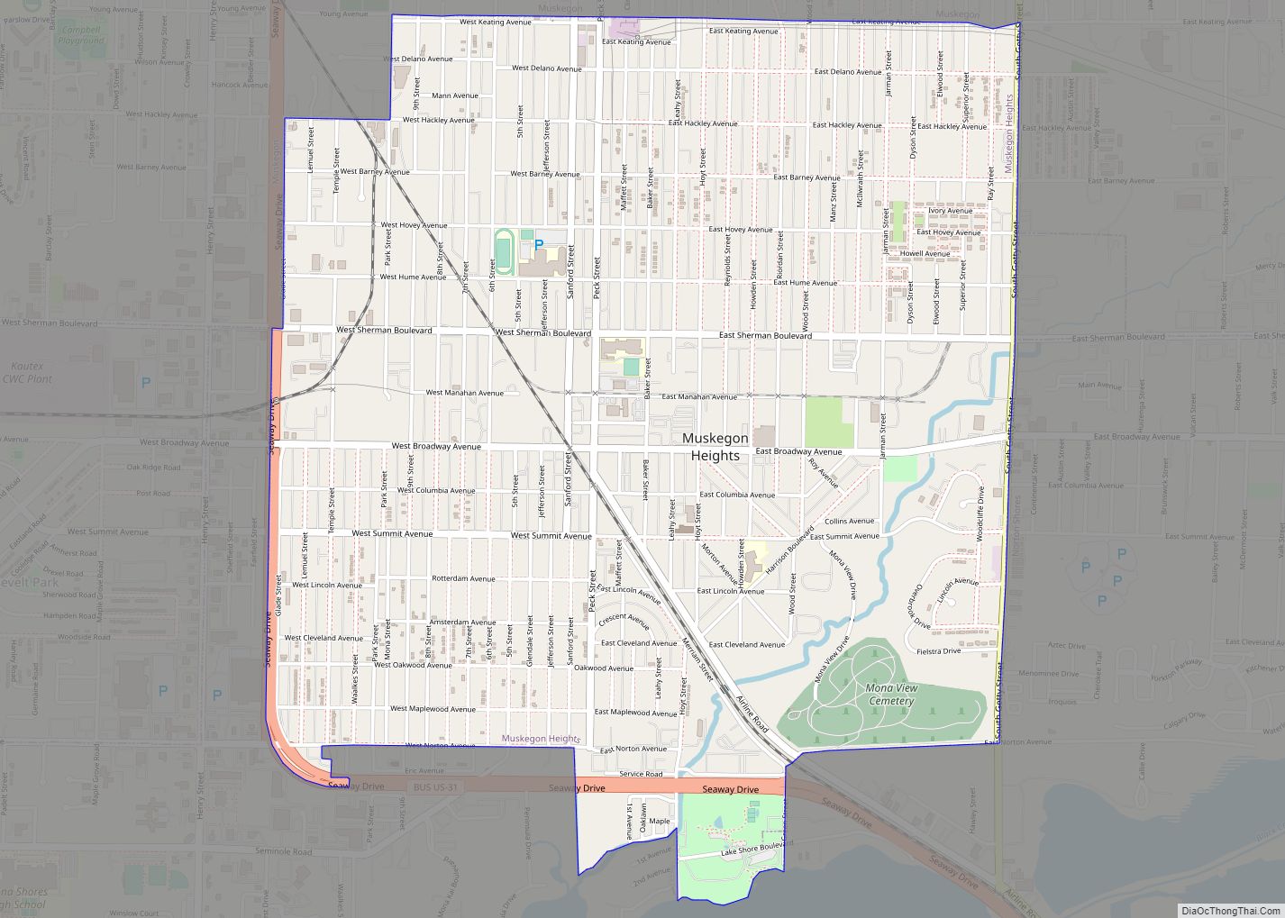
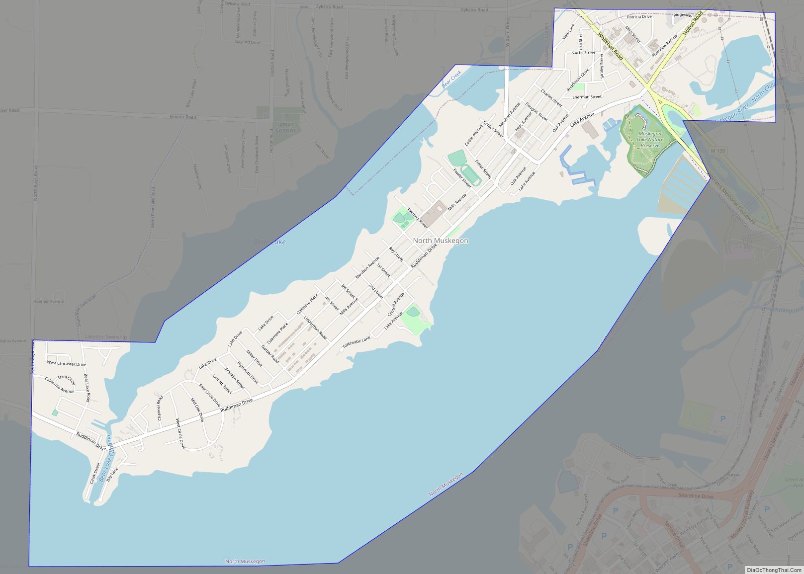
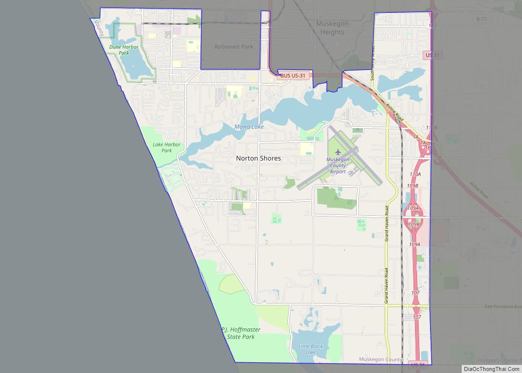
Online Interactive Map
Click on ![]() to view map in "full screen" mode.
to view map in "full screen" mode.
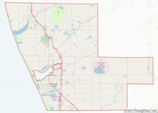
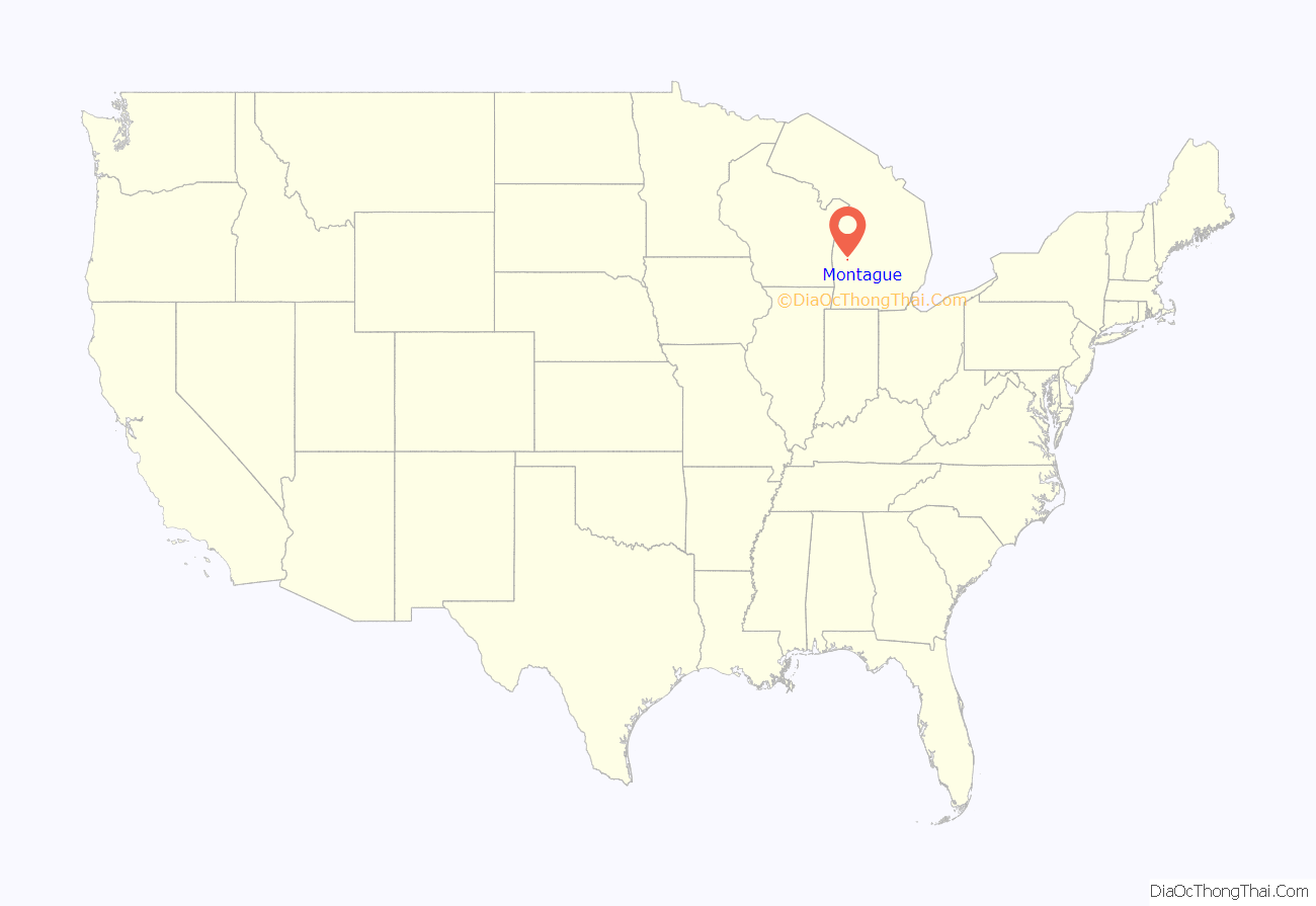
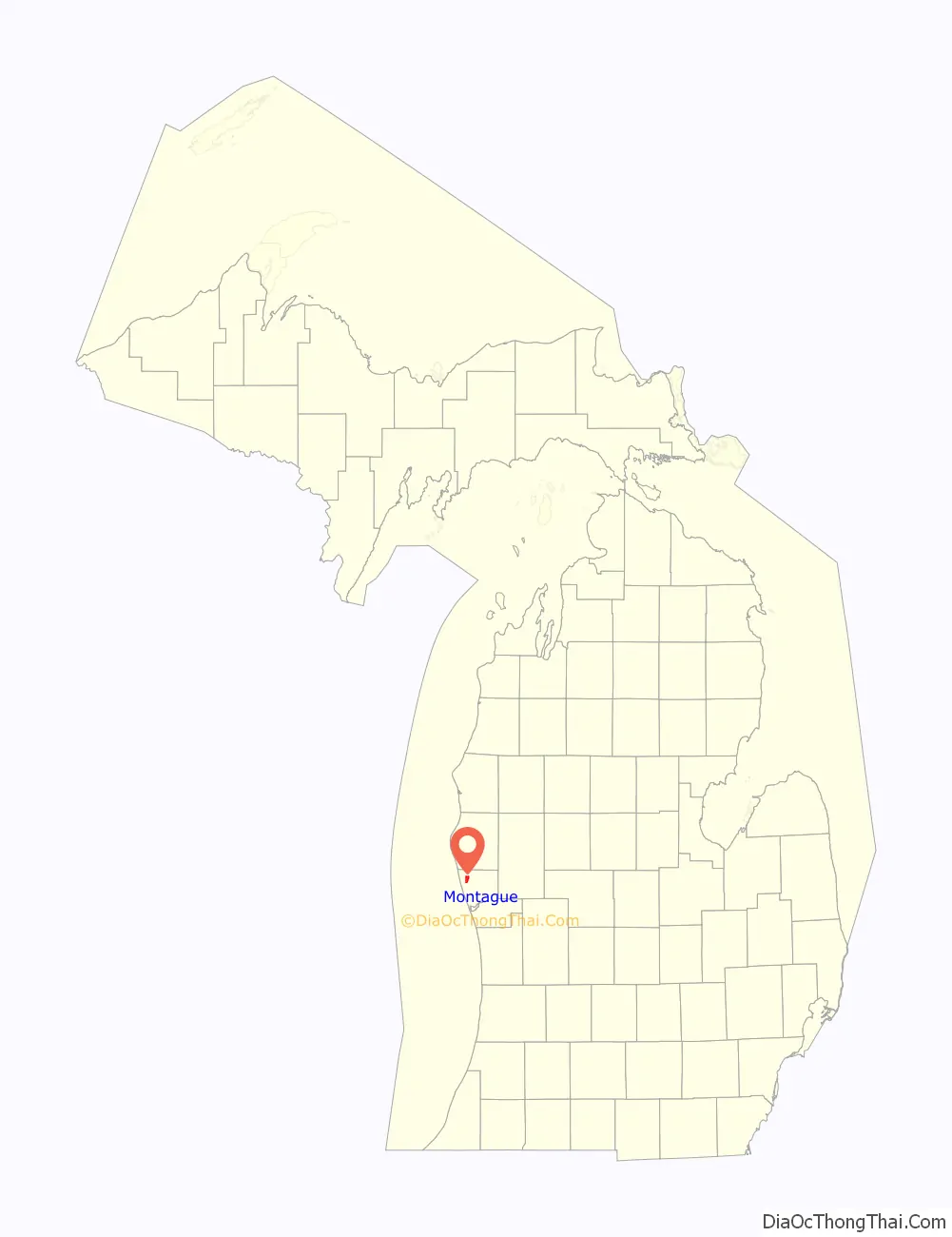
Montague location map. Where is Montague city?
History
Noah Ferry founded the city, naming it in honor of his father, William Montague Ferry, who founded the cities of Grand Haven and Ferrysburg in neighboring Ottawa County. Ferry Church, built in 1874, is named in honor of Noah Ferry, who died fighting for the Union at the Battle of Gettysburg in 1863.
At one time, Ferry Street, also named for the founder, was the main street through town. It was named for him because the city’s post office operated on that street following its establishment in 1867, and Ferry was instrumental in getting a post office in the city. Although city hall, the city’s new post office (constructed in 2005), and a handful of businesses still operate on Ferry, Dowling Street has become the city’s main route because of its eventual connection to neighboring communities and U.S. Highway 31.
Montague is home to the “World’s Largest Working Weathervane” which was constructed in part by local manufacturer Whitehall Metal Studios. The weathervane is topped by the Ella Ellenwood, a lumbering Schooner that frequented White Lake transporting lumber from Montague to Milwaukee, Wisconsin. The ship became infamous after it sank in a storm in 1901, and the wooden nameplate of the schooner floated back to the shores of the City of Montague, where it was found in 1902. Many people believed that the boat was coming home, and as a result the ship is frequently associated with the city.
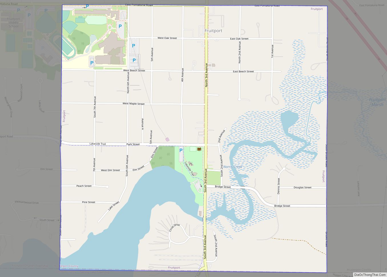
Montague Road Map
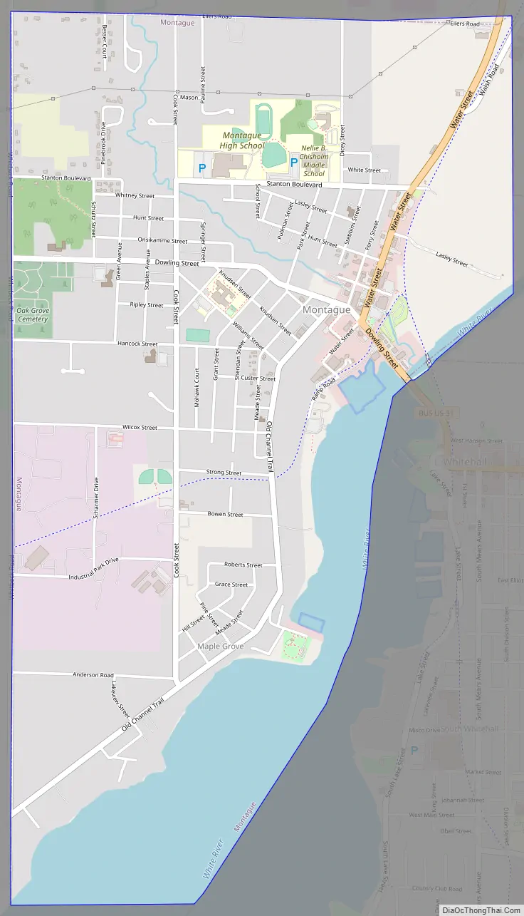
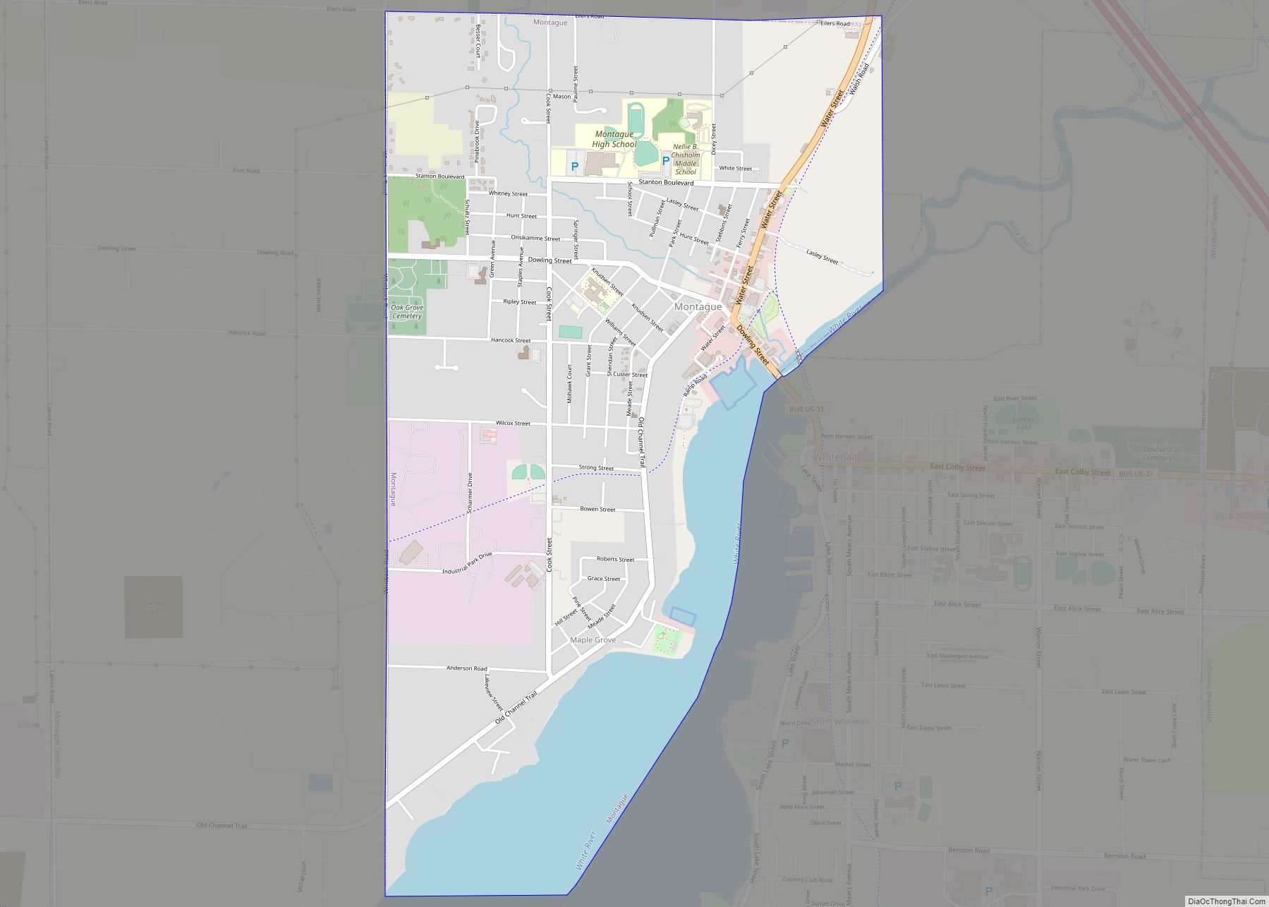
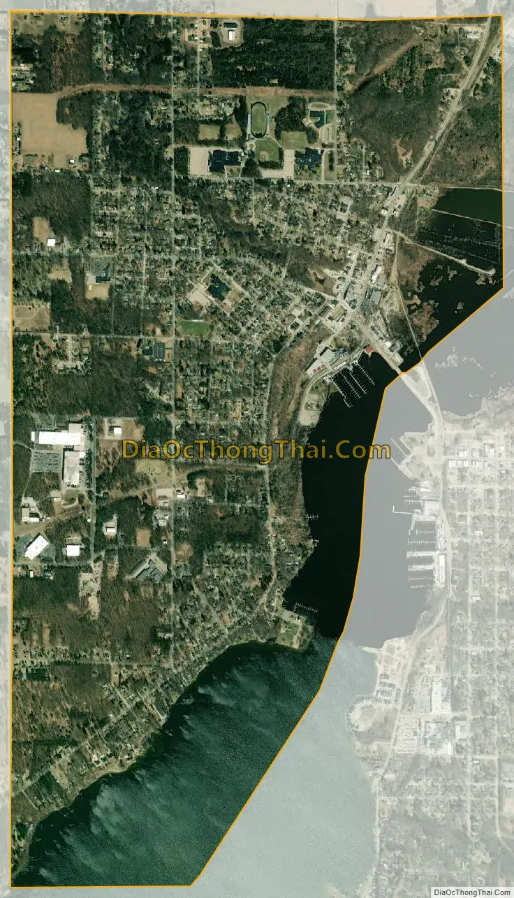
Montague city Satellite Map
Geography
According to the United States Census Bureau, the city has a total area of 3.27 square miles (8.47 km), of which 2.56 square miles (6.63 km) is land and 0.71 square miles (1.84 km) is water.
The city is at the southern end of the Hart-Montague Trail, a paved cycling and multiuse trail which attracts visitors during the warm months to Montague, Hart, and the small towns and businesses in between.
See also
Map of Michigan State and its subdivision:- Alcona
- Alger
- Allegan
- Alpena
- Antrim
- Arenac
- Baraga
- Barry
- Bay
- Benzie
- Berrien
- Branch
- Calhoun
- Cass
- Charlevoix
- Cheboygan
- Chippewa
- Clare
- Clinton
- Crawford
- Delta
- Dickinson
- Eaton
- Emmet
- Genesee
- Gladwin
- Gogebic
- Grand Traverse
- Gratiot
- Hillsdale
- Houghton
- Huron
- Ingham
- Ionia
- Iosco
- Iron
- Isabella
- Jackson
- Kalamazoo
- Kalkaska
- Kent
- Keweenaw
- Lake
- Lake Hurron
- Lake Michigan
- Lake St. Clair
- Lake Superior
- Lapeer
- Leelanau
- Lenawee
- Livingston
- Luce
- Mackinac
- Macomb
- Manistee
- Marquette
- Mason
- Mecosta
- Menominee
- Midland
- Missaukee
- Monroe
- Montcalm
- Montmorency
- Muskegon
- Newaygo
- Oakland
- Oceana
- Ogemaw
- Ontonagon
- Osceola
- Oscoda
- Otsego
- Ottawa
- Presque Isle
- Roscommon
- Saginaw
- Saint Clair
- Saint Joseph
- Sanilac
- Schoolcraft
- Shiawassee
- Tuscola
- Van Buren
- Washtenaw
- Wayne
- Wexford
- Alabama
- Alaska
- Arizona
- Arkansas
- California
- Colorado
- Connecticut
- Delaware
- District of Columbia
- Florida
- Georgia
- Hawaii
- Idaho
- Illinois
- Indiana
- Iowa
- Kansas
- Kentucky
- Louisiana
- Maine
- Maryland
- Massachusetts
- Michigan
- Minnesota
- Mississippi
- Missouri
- Montana
- Nebraska
- Nevada
- New Hampshire
- New Jersey
- New Mexico
- New York
- North Carolina
- North Dakota
- Ohio
- Oklahoma
- Oregon
- Pennsylvania
- Rhode Island
- South Carolina
- South Dakota
- Tennessee
- Texas
- Utah
- Vermont
- Virginia
- Washington
- West Virginia
- Wisconsin
- Wyoming