Vandalia is a village in Penn Township within Cass County in the U.S. state of Michigan. The population was 301 at the 2010 census. It is part of the South Bend–Mishawaka, IN-MI, Metropolitan Statistical Area sometimes referred to as Michiana.
| Name: | Vandalia village |
|---|---|
| LSAD Code: | 47 |
| LSAD Description: | village (suffix) |
| State: | Michigan |
| County: | Cass County |
| Incorporated: | 1875 (village) |
| Elevation: | 879 ft (268 m) |
| Total Area: | 0.99 sq mi (2.56 km²) |
| Land Area: | 0.99 sq mi (2.56 km²) |
| Water Area: | 0.00 sq mi (0.00 km²) |
| Total Population: | 318 |
| Population Density: | 321.86/sq mi (124.22/km²) |
| Area code: | 269 |
| FIPS code: | 2681680 |
| GNISfeature ID: | 1615496 |
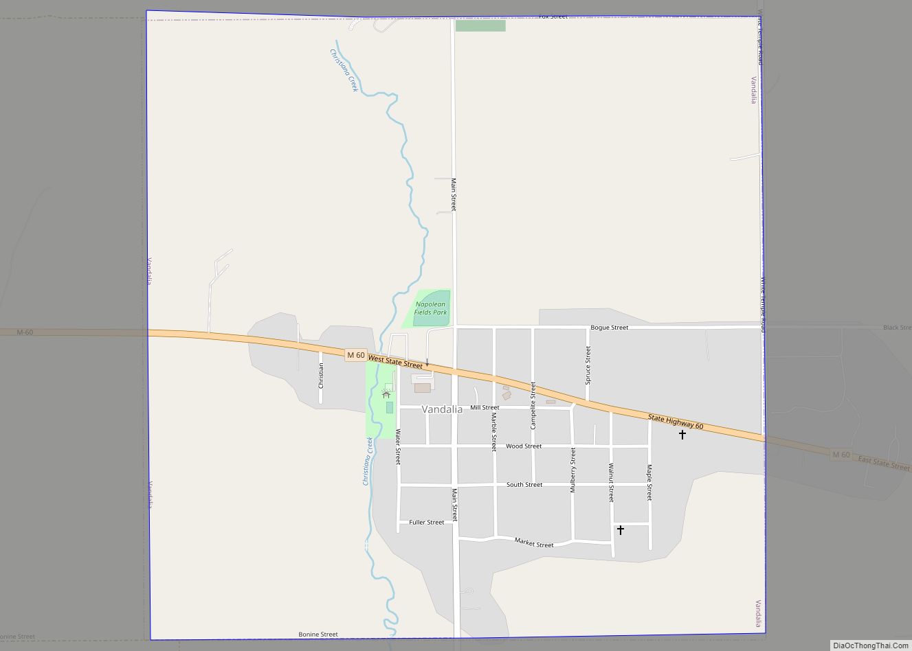
Online Interactive Map
Click on ![]() to view map in "full screen" mode.
to view map in "full screen" mode.
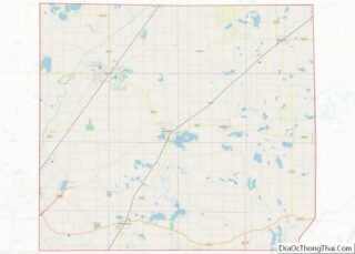
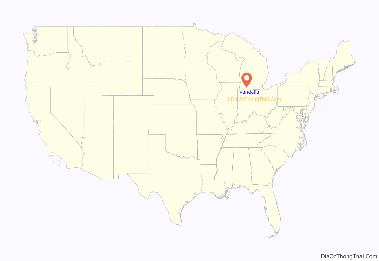
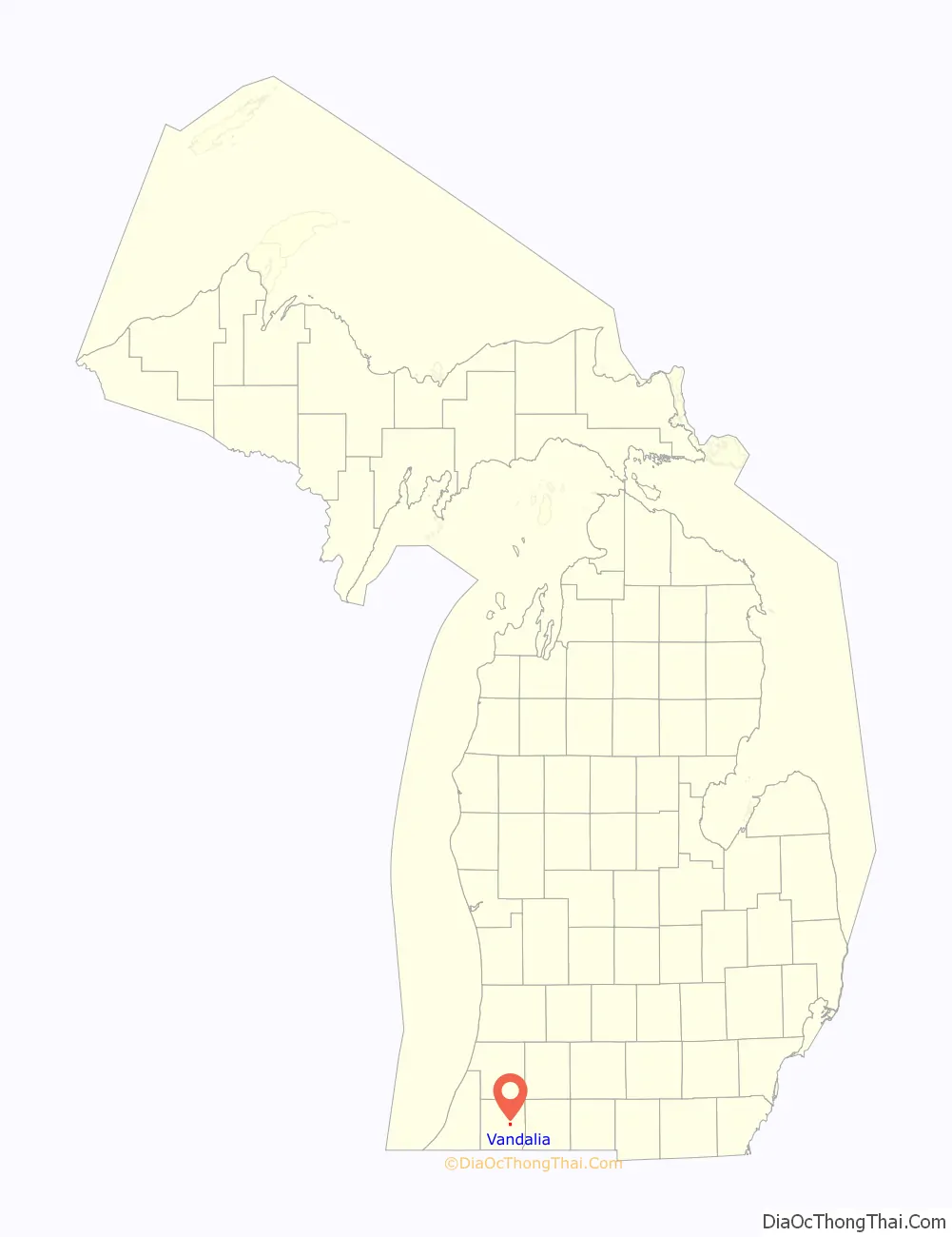
Vandalia location map. Where is Vandalia village?
History
The Village of Vandalia was incorporated in 1875 all in thanks to Stephen Bogue and Charles P. Ball who in the years of 1848-49 built a gristmill on this settlement that soon would be call Vandalia.
On July 8 1850, Theron J Wilcox was the colony’s first postmaster and Ada Kinsbury is credited with being the area’s first merchant. and the Michigan Central Railroad built a station in 1871.
Vandalia hosted a station of the Underground Railroad. An Underground Railroad memorial sign resides at Milo E. Barnes Park just off M-60. Other locations in Penn Township, in which Vandalia is located, also were affiliated with the Underground Railroad.
Vandalia is also known as the nearest incorporated community to the defunct Rainbow Farm.
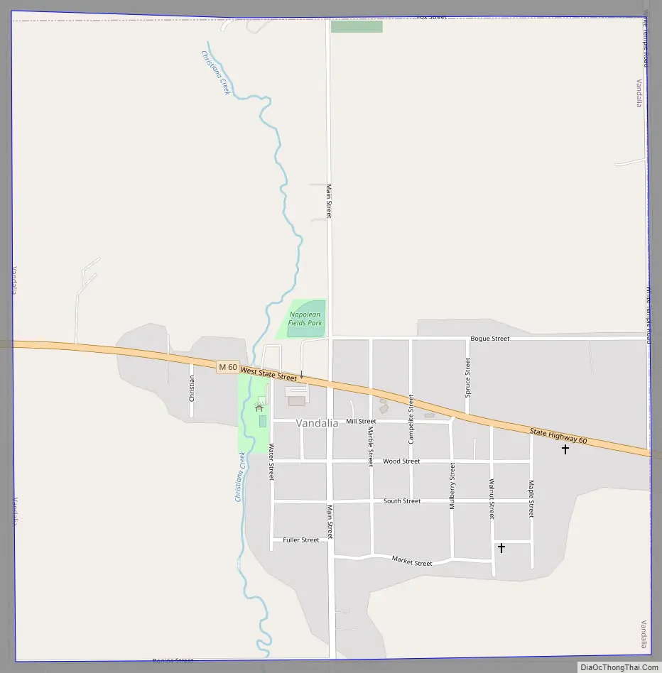
Vandalia Road Map
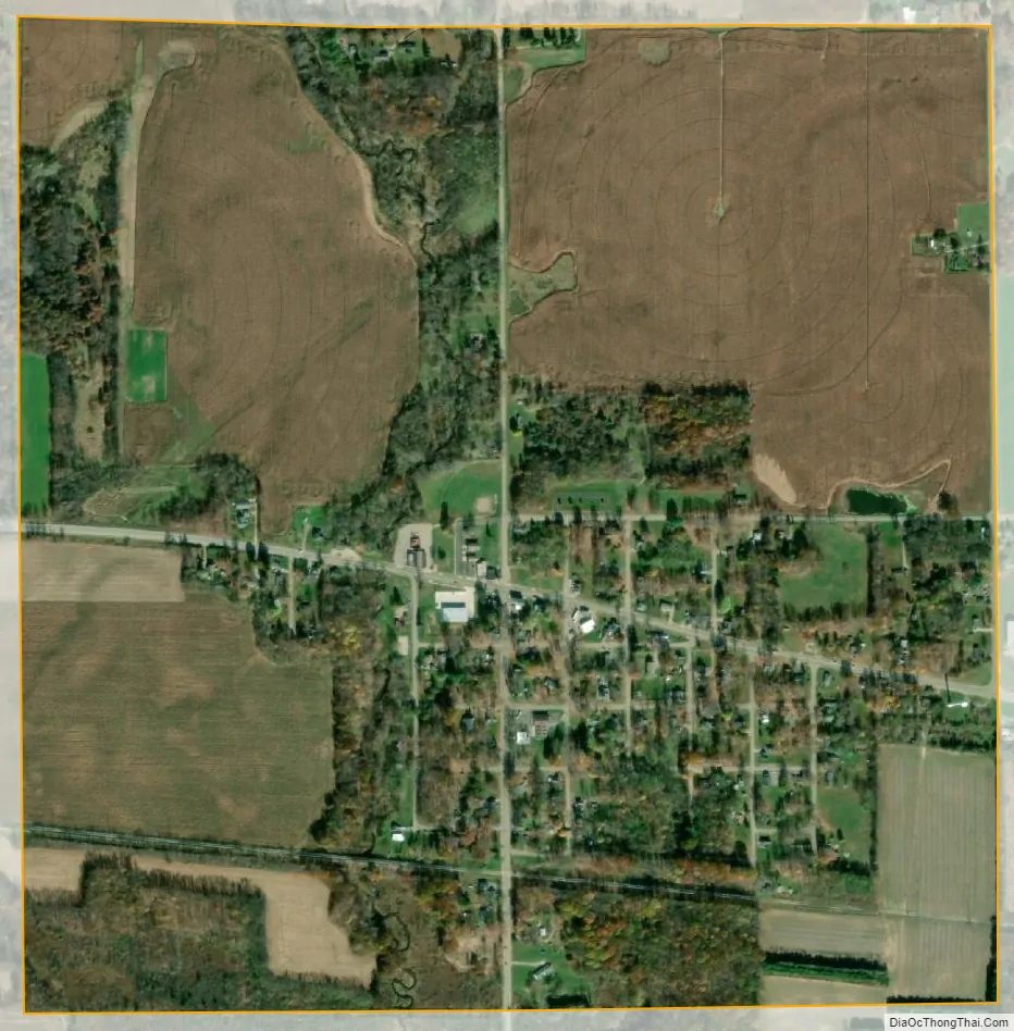
Vandalia city Satellite Map
Geography
According to the United States Census Bureau, the village has a total area of 0.99 square miles (2.56 km), all land.
See also
Map of Michigan State and its subdivision:- Alcona
- Alger
- Allegan
- Alpena
- Antrim
- Arenac
- Baraga
- Barry
- Bay
- Benzie
- Berrien
- Branch
- Calhoun
- Cass
- Charlevoix
- Cheboygan
- Chippewa
- Clare
- Clinton
- Crawford
- Delta
- Dickinson
- Eaton
- Emmet
- Genesee
- Gladwin
- Gogebic
- Grand Traverse
- Gratiot
- Hillsdale
- Houghton
- Huron
- Ingham
- Ionia
- Iosco
- Iron
- Isabella
- Jackson
- Kalamazoo
- Kalkaska
- Kent
- Keweenaw
- Lake
- Lake Hurron
- Lake Michigan
- Lake St. Clair
- Lake Superior
- Lapeer
- Leelanau
- Lenawee
- Livingston
- Luce
- Mackinac
- Macomb
- Manistee
- Marquette
- Mason
- Mecosta
- Menominee
- Midland
- Missaukee
- Monroe
- Montcalm
- Montmorency
- Muskegon
- Newaygo
- Oakland
- Oceana
- Ogemaw
- Ontonagon
- Osceola
- Oscoda
- Otsego
- Ottawa
- Presque Isle
- Roscommon
- Saginaw
- Saint Clair
- Saint Joseph
- Sanilac
- Schoolcraft
- Shiawassee
- Tuscola
- Van Buren
- Washtenaw
- Wayne
- Wexford
- Alabama
- Alaska
- Arizona
- Arkansas
- California
- Colorado
- Connecticut
- Delaware
- District of Columbia
- Florida
- Georgia
- Hawaii
- Idaho
- Illinois
- Indiana
- Iowa
- Kansas
- Kentucky
- Louisiana
- Maine
- Maryland
- Massachusetts
- Michigan
- Minnesota
- Mississippi
- Missouri
- Montana
- Nebraska
- Nevada
- New Hampshire
- New Jersey
- New Mexico
- New York
- North Carolina
- North Dakota
- Ohio
- Oklahoma
- Oregon
- Pennsylvania
- Rhode Island
- South Carolina
- South Dakota
- Tennessee
- Texas
- Utah
- Vermont
- Virginia
- Washington
- West Virginia
- Wisconsin
- Wyoming