Auxvasse (/ʌvˈɔːz/ uv-AWZ) is a city in northern Callaway County, Missouri, United States. It is part of the Jefferson City, Missouri Metropolitan Statistical Area. The population was 983 at the 2010 census.
| Name: | Auxvasse city |
|---|---|
| LSAD Code: | 25 |
| LSAD Description: | city (suffix) |
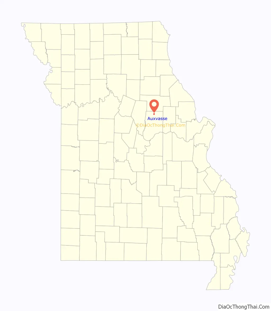
| State: | Missouri |
| County: | Callaway County |
| Founded: | 1873 (as Clinton City) |
| Incorporated: | 1874 |
| Elevation: | 866 ft (264 m) |
| Total Area: | 0.76 sq mi (1.96 km²) |
| Land Area: | 0.76 sq mi (1.96 km²) |
| Water Area: | 0.00 sq mi (0.00 km²) |
| Total Population: | 1,001 |
| Population Density: | 1,325.83/sq mi (511.89/km²) |
| ZIP code: | 65231 |
| Area code: | 573 |
| FIPS code: | 2902638 |
| GNISfeature ID: | 2394038 |
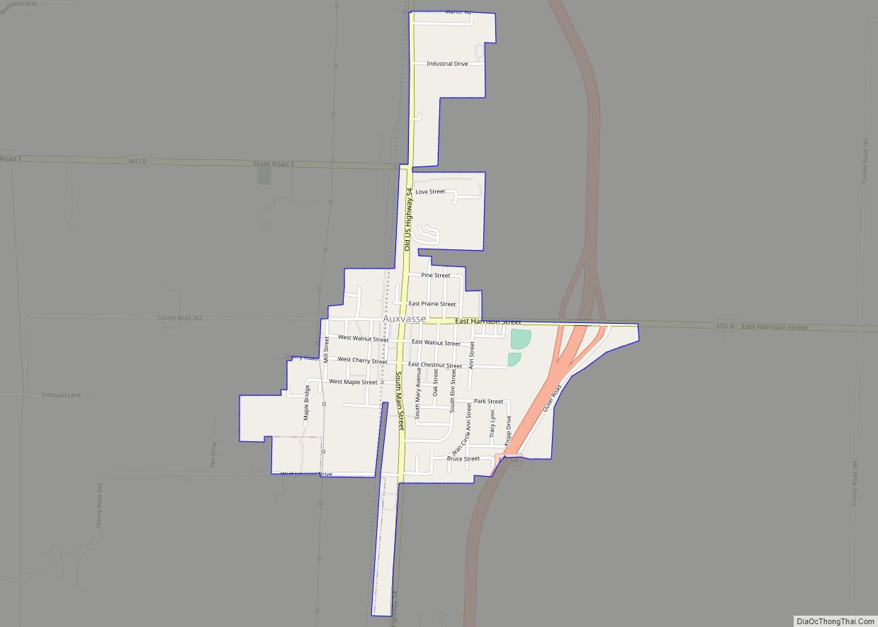
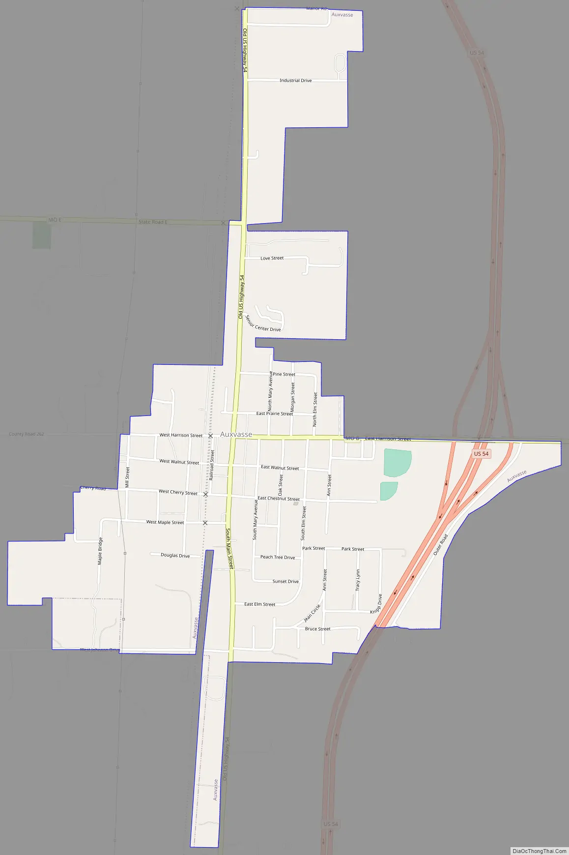
Online Interactive Map
Click on ![]() to view map in "full screen" mode.
to view map in "full screen" mode.
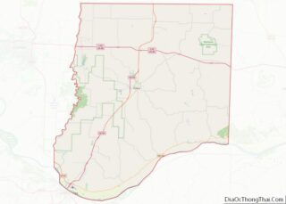
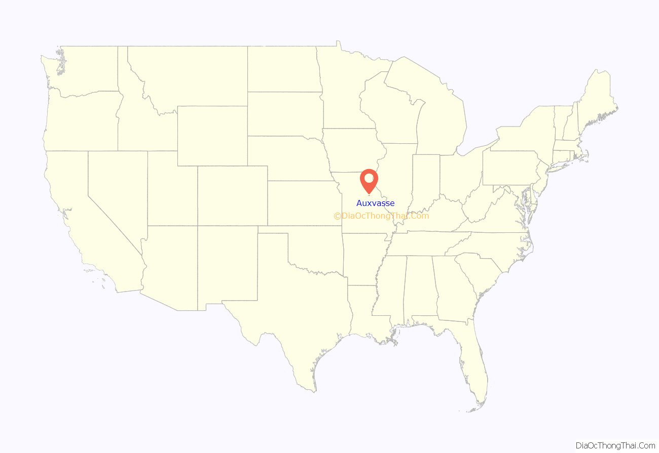
Auxvasse location map. Where is Auxvasse city?
History
Auxvasse was originally called Clinton City, and under the latter name was platted in 1873. The present name is after the nearby Auxvasse Creek. A post office called Auxvasse has been in operation since 1874. Auxvasse has been claimed by at least 3 Callaway County townships since they were first delineated in 1821, when Auxvasse was located at the far northeast corner of the original boundaries of the then far-larger Cote Sans Dessein township for a period of only a few months. New townships (Fulton, Round Prairie, Nine Mile Prairie) were formed 1821–1838 in northern Callaway County, and a study of historical references should clarify which township Auxvasse was claimed by during that period. In February 1838, the newly formed Liberty Township included Auxvasse as a key town in its eastern sector for nearly 40 years; but when the newer Jackson Township was created in December 1875, Auxvasse was included instead in its western half, where it remains to this day as its largest population center.
Auxvasse Road Map
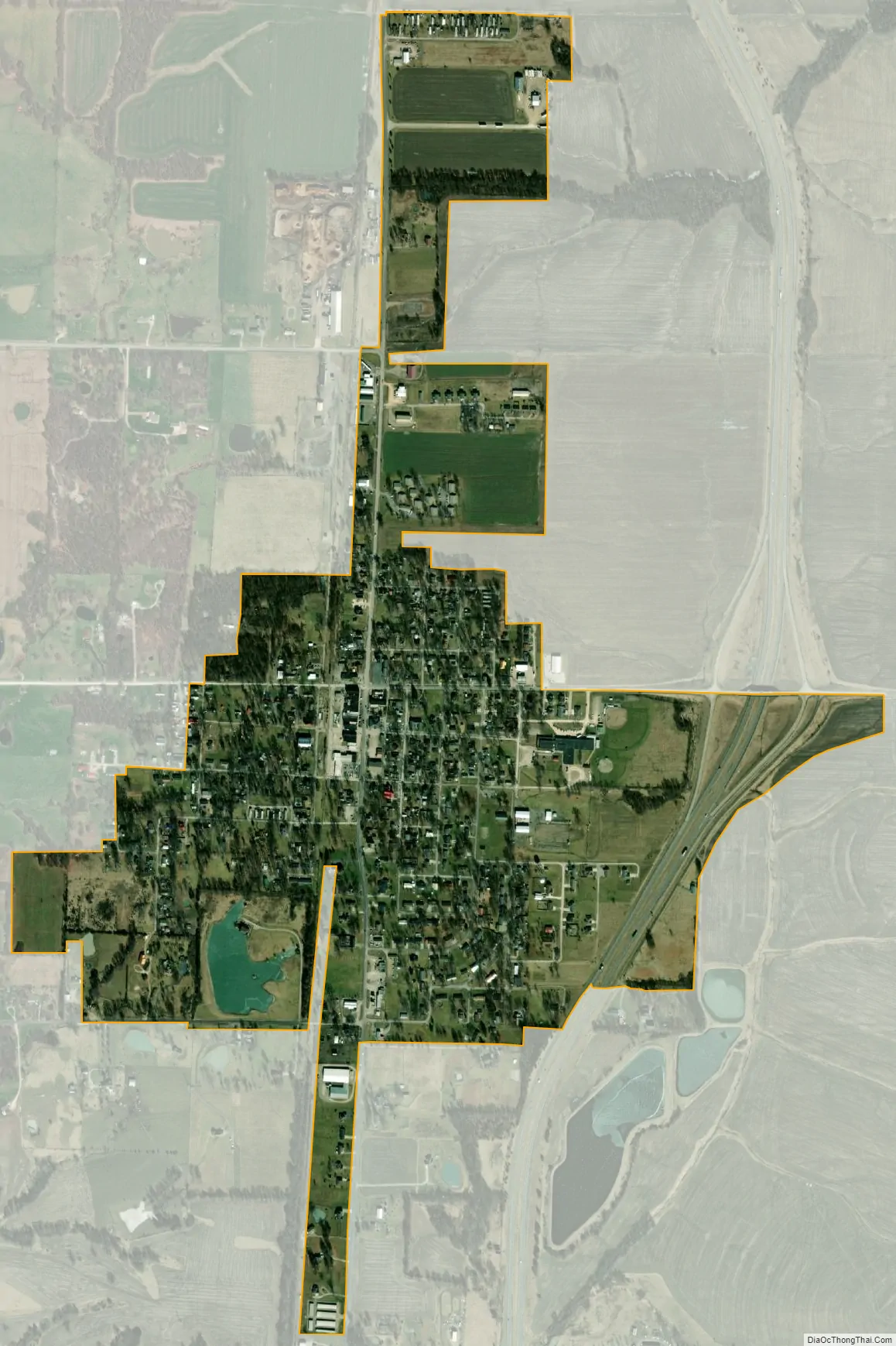
Auxvasse city Satellite Map
Geography
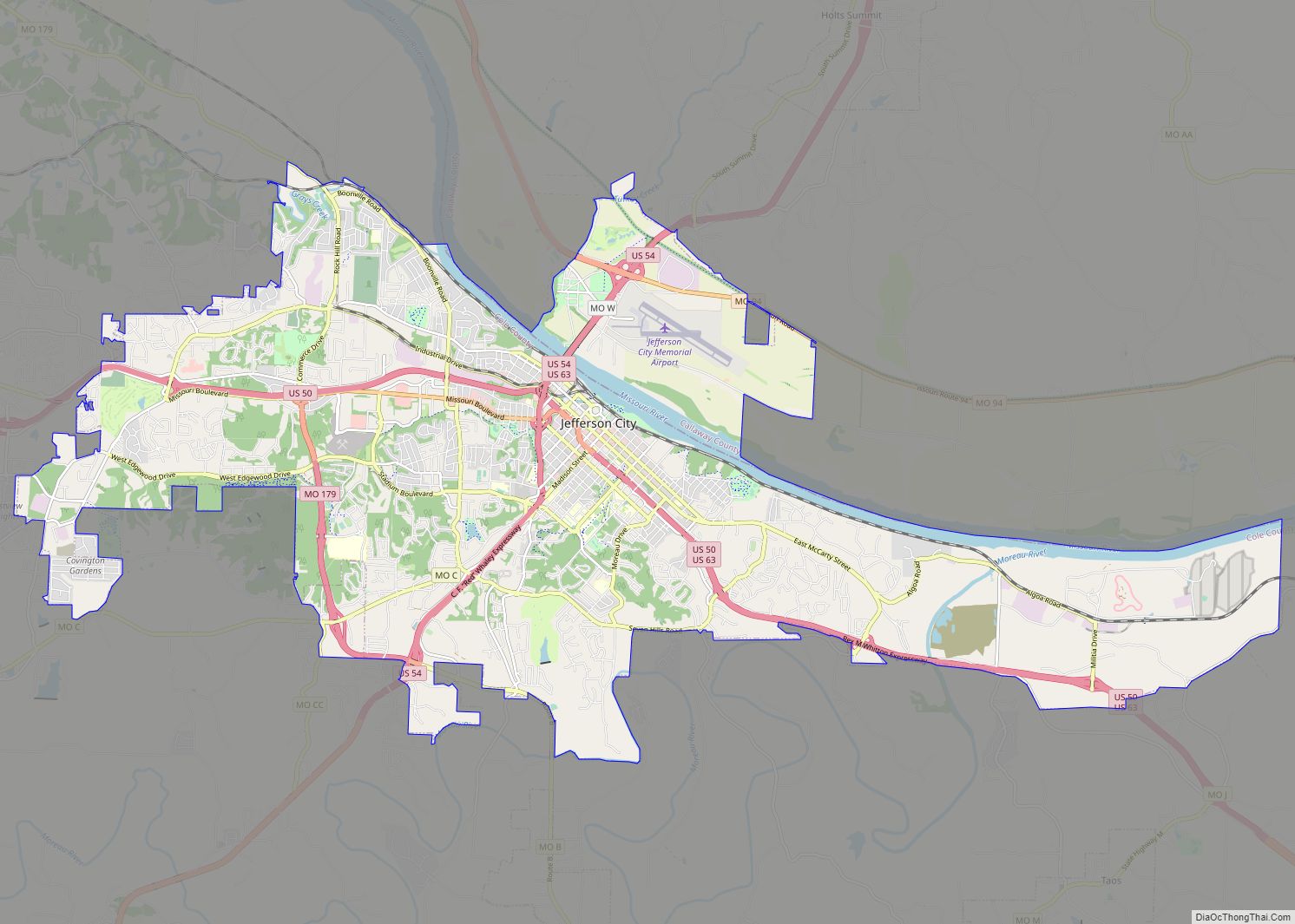
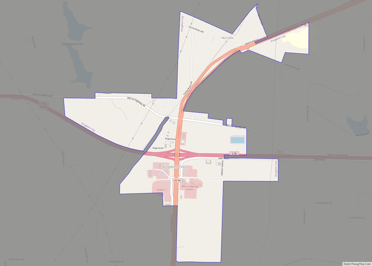
Auxvasse is located in the northern part of the county on US Route 54 between Mexico to the north and Kingdom City to the south.
According to the United States Census Bureau, the city has a total area of 0.76 square miles (1.97 km), all land.
See also
Map of Missouri State and its subdivision:- Adair
- Andrew
- Atchison
- Audrain
- Barry
- Barton
- Bates
- Benton
- Bollinger
- Boone
- Buchanan
- Butler
- Caldwell
- Callaway
- Camden
- Cape Girardeau
- Carroll
- Carter
- Cass
- Cedar
- Chariton
- Christian
- Clark
- Clay
- Clinton
- Cole
- Cooper
- Crawford
- Dade
- Dallas
- Daviess
- De Kalb
- Dent
- Douglas
- Dunklin
- Franklin
- Gasconade
- Gentry
- Greene
- Grundy
- Harrison
- Henry
- Hickory
- Holt
- Howard
- Howell
- Iron
- Jackson
- Jasper
- Jefferson
- Johnson
- Knox
- Laclede
- Lafayette
- Lawrence
- Lewis
- Lincoln
- Linn
- Livingston
- Macon
- Madison
- Maries
- Marion
- McDonald
- Mercer
- Miller
- Mississippi
- Moniteau
- Monroe
- Montgomery
- Morgan
- New Madrid
- Newton
- Nodaway
- Oregon
- Osage
- Ozark
- Pemiscot
- Perry
- Pettis
- Phelps
- Pike
- Platte
- Polk
- Pulaski
- Putnam
- Ralls
- Randolph
- Ray
- Reynolds
- Ripley
- Saint Charles
- Saint Clair
- Saint Francois
- Saint Louis
- Sainte Genevieve
- Saline
- Schuyler
- Scotland
- Scott
- Shannon
- Shelby
- Stoddard
- Stone
- Sullivan
- Taney
- Texas
- Vernon
- Warren
- Washington
- Wayne
- Webster
- Worth
- Wright
- Alabama
- Alaska
- Arizona
- Arkansas
- California
- Colorado
- Connecticut
- Delaware
- District of Columbia
- Florida
- Georgia
- Hawaii
- Idaho
- Illinois
- Indiana
- Iowa
- Kansas
- Kentucky
- Louisiana
- Maine
- Maryland
- Massachusetts
- Michigan
- Minnesota
- Mississippi
- Missouri
- Montana
- Nebraska
- Nevada
- New Hampshire
- New Jersey
- New Mexico
- New York
- North Carolina
- North Dakota
- Ohio
- Oklahoma
- Oregon
- Pennsylvania
- Rhode Island
- South Carolina
- South Dakota
- Tennessee
- Texas
- Utah
- Vermont
- Virginia
- Washington
- West Virginia
- Wisconsin
- Wyoming