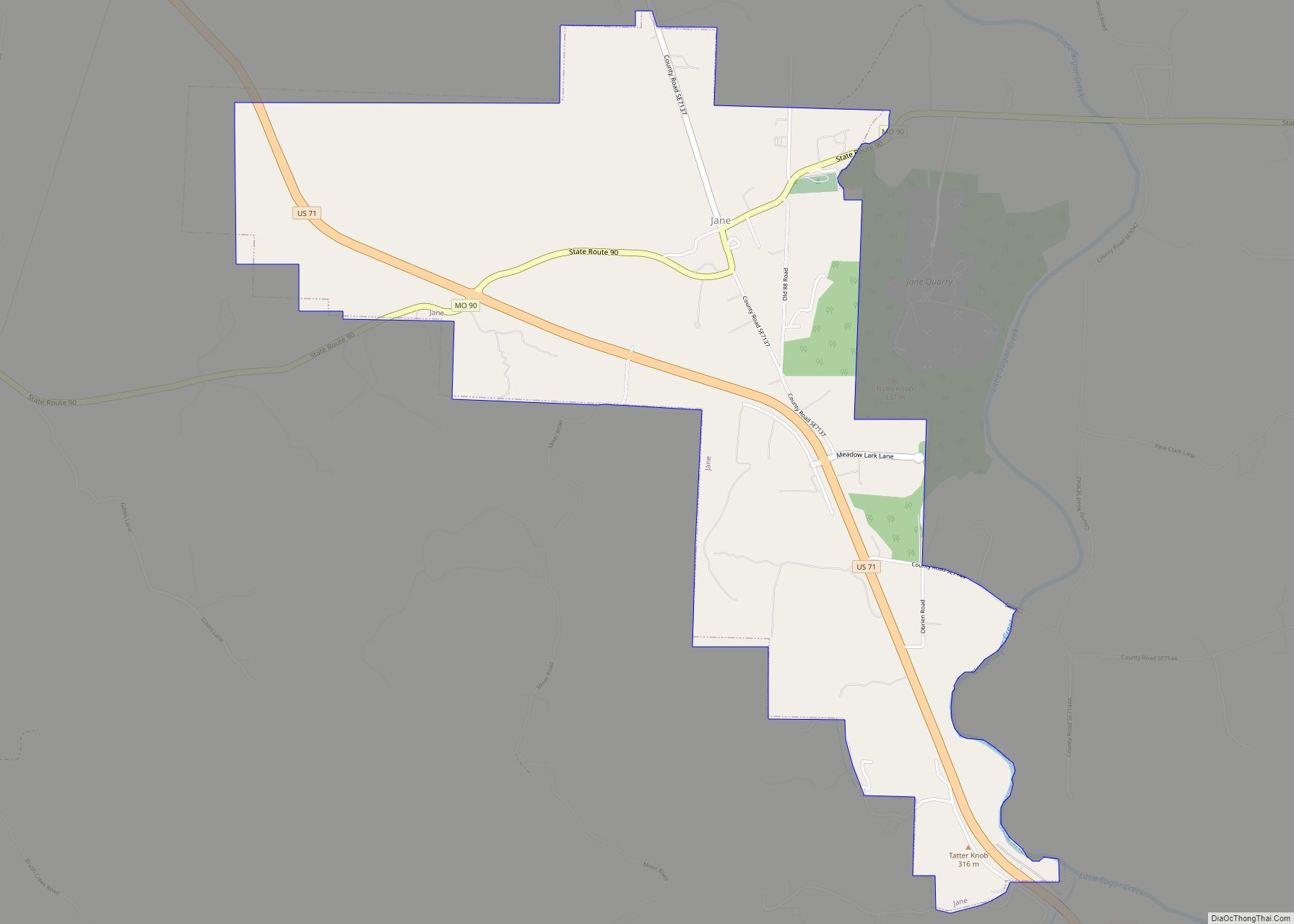
Jane is a village in McDonald County, Missouri, United States. It is located on Route 90 at its intersection with U.S. Route 71. The original settlement is approximately one mile east on an older alignment of US 71. It had been an unincorporated community for many years, and previously had the ZIP code of 64846, though rural delivery is currently managed from the post office in Anderson. Jane now shares the ZIP code of 64856 with Pineville, the county seat, and the post office which had previously been charged with rural mail delivery prior to its scaling back of operations.
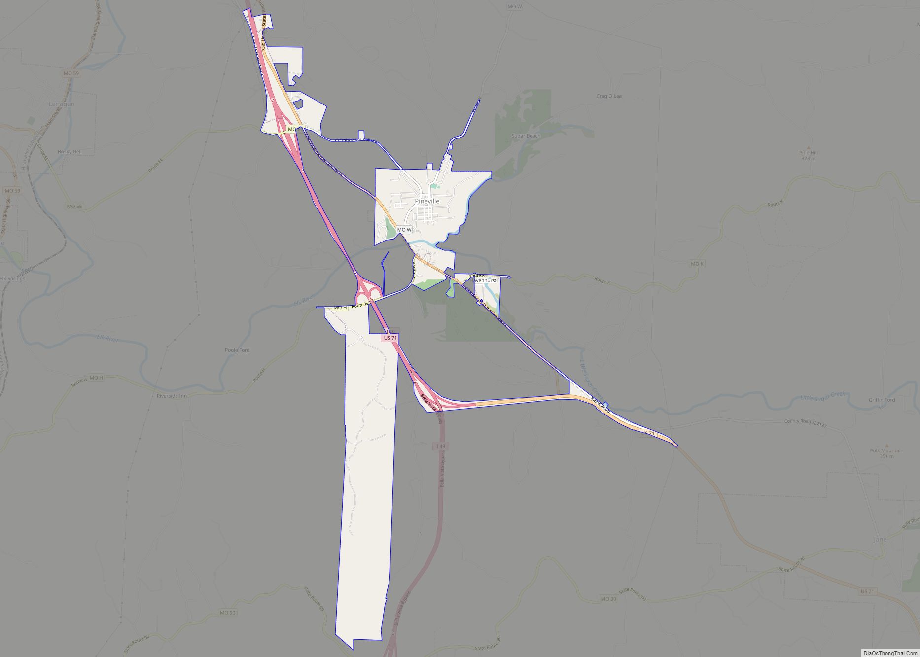
Jane re-incorporated in 2005 after a petition-drive of local residents, in order to block possible annexation by Pineville, five miles to the northwest. Pineville had greatly expanded the city limit with the opening of the widened US 71 (later named Interstate 49) highway, to its west. In 2006, the village of Jane again expanded southward from its original boundaries to include a large section of US 71 at the behest of the McDonald County planning commission. It now extends south to within a half-mile of the Arkansas state line, abutting with the unincorporated Caverna, and running primarily along the US 71 corridor.
Municipal services include a volunteer fire department, rural water and sewer service that is tied via a lift-pump system with the sewage treatment plant in Bella Vista, Arkansas. Funding for the sewer system was provided by a municipal bond voted on by the residents in 2008, with the payback coming directly from those served. Electric power for the area is supplied by New-Mac Electric Company, a cooperative based in Neosho.
White Rock Elementary School, part of McDonald County R-I School District, is located near the village center.
Law enforcement and 911 services are provided by the McDonald County Sheriff’s Office, located in Pineville.
| Name: | Jane town |
|---|---|
| LSAD Code: | 43 |
| LSAD Description: | town (suffix) |
| State: | Missouri |
| County: | McDonald County |
| Elevation: | 984 ft (300 m) |
| Total Area: | 2.98 sq mi (7.70 km²) |
| Land Area: | 2.98 sq mi (7.70 km²) |
| Water Area: | 0.00 sq mi (0.00 km²) |
| Total Population: | 359 |
| Population Density: | 120.67/sq mi (46.59/km²) |
| ZIP code: | 64856 |
| Area code: | 417 |
| FIPS code: | 2936422 |
| GNISfeature ID: | 0729907 |
Online Interactive Map
Click on ![]() to view map in "full screen" mode.
to view map in "full screen" mode.
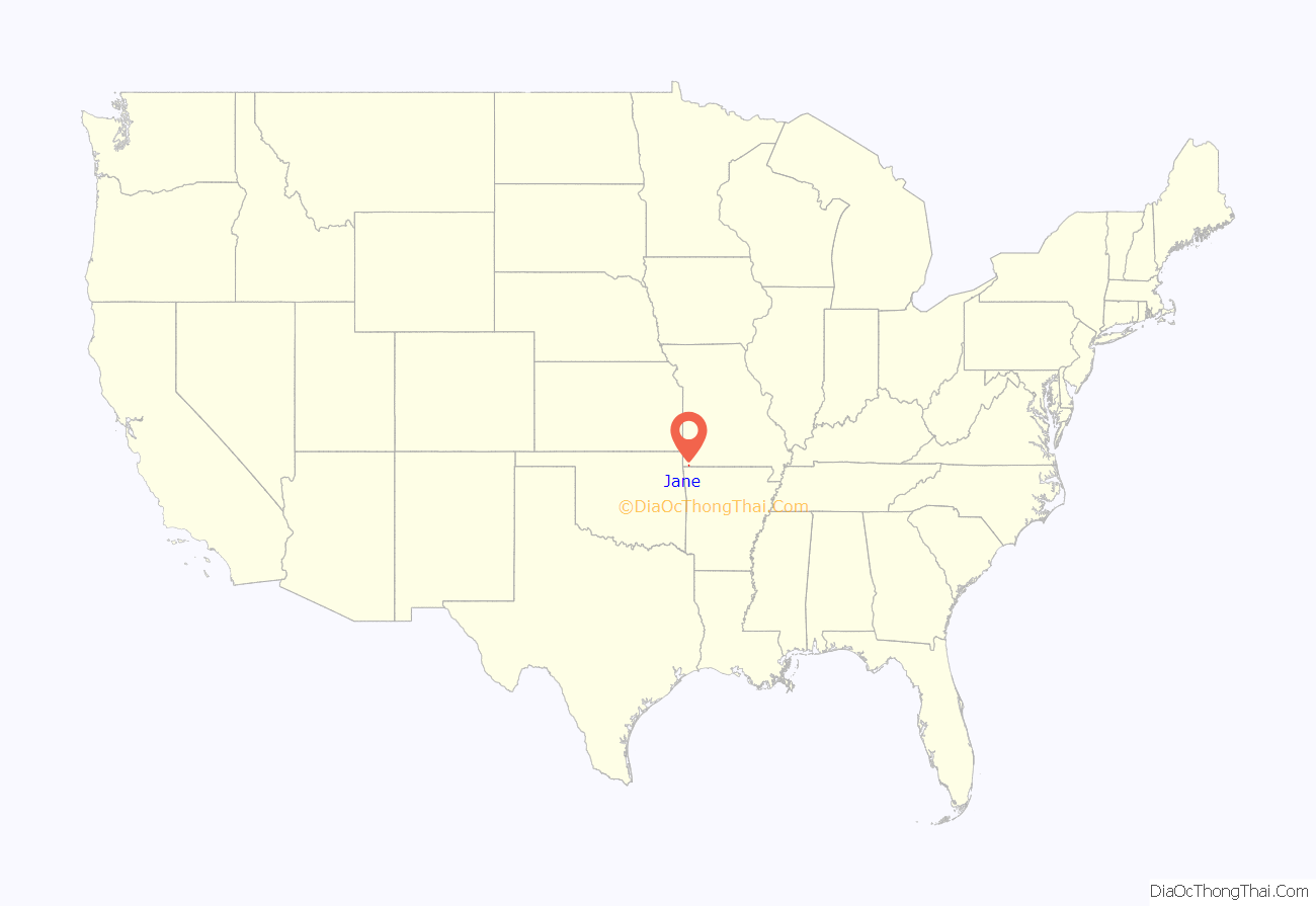
Jane location map. Where is Jane town?
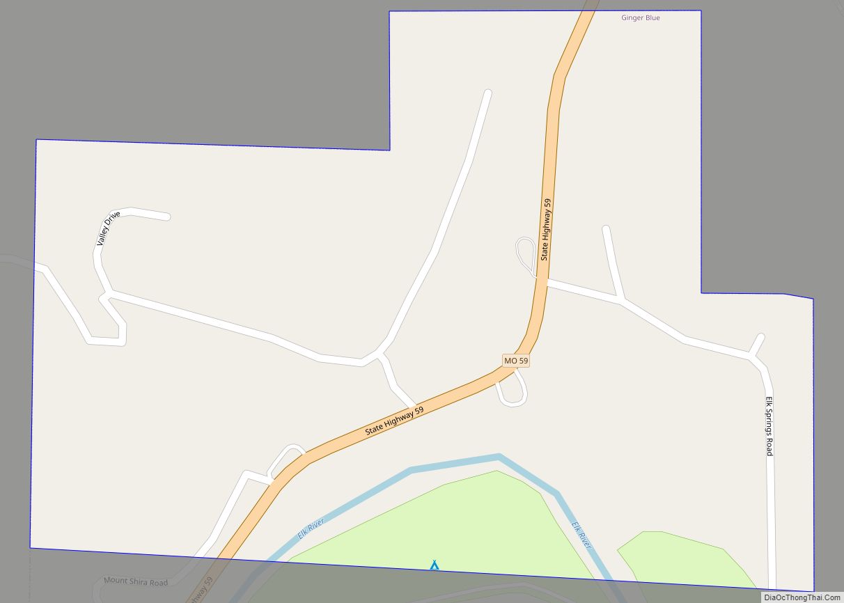
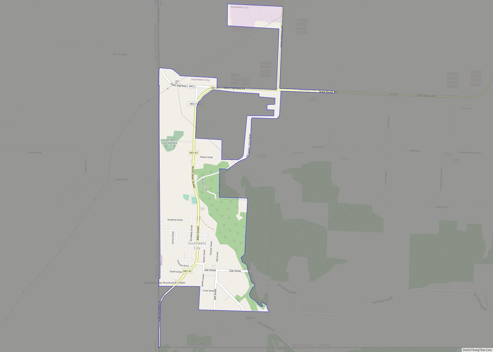
Jane Road Map
Jane city Satellite Map
See also
Map of Missouri State and its subdivision:- Adair
- Andrew
- Atchison
- Audrain
- Barry
- Barton
- Bates
- Benton
- Bollinger
- Boone
- Buchanan
- Butler
- Caldwell
- Callaway
- Camden
- Cape Girardeau
- Carroll
- Carter
- Cass
- Cedar
- Chariton
- Christian
- Clark
- Clay
- Clinton
- Cole
- Cooper
- Crawford
- Dade
- Dallas
- Daviess
- De Kalb
- Dent
- Douglas
- Dunklin
- Franklin
- Gasconade
- Gentry
- Greene
- Grundy
- Harrison
- Henry
- Hickory
- Holt
- Howard
- Howell
- Iron
- Jackson
- Jasper
- Jefferson
- Johnson
- Knox
- Laclede
- Lafayette
- Lawrence
- Lewis
- Lincoln
- Linn
- Livingston
- Macon
- Madison
- Maries
- Marion
- McDonald
- Mercer
- Miller
- Mississippi
- Moniteau
- Monroe
- Montgomery
- Morgan
- New Madrid
- Newton
- Nodaway
- Oregon
- Osage
- Ozark
- Pemiscot
- Perry
- Pettis
- Phelps
- Pike
- Platte
- Polk
- Pulaski
- Putnam
- Ralls
- Randolph
- Ray
- Reynolds
- Ripley
- Saint Charles
- Saint Clair
- Saint Francois
- Saint Louis
- Sainte Genevieve
- Saline
- Schuyler
- Scotland
- Scott
- Shannon
- Shelby
- Stoddard
- Stone
- Sullivan
- Taney
- Texas
- Vernon
- Warren
- Washington
- Wayne
- Webster
- Worth
- Wright
- Alabama
- Alaska
- Arizona
- Arkansas
- California
- Colorado
- Connecticut
- Delaware
- District of Columbia
- Florida
- Georgia
- Hawaii
- Idaho
- Illinois
- Indiana
- Iowa
- Kansas
- Kentucky
- Louisiana
- Maine
- Maryland
- Massachusetts
- Michigan
- Minnesota
- Mississippi
- Missouri
- Montana
- Nebraska
- Nevada
- New Hampshire
- New Jersey
- New Mexico
- New York
- North Carolina
- North Dakota
- Ohio
- Oklahoma
- Oregon
- Pennsylvania
- Rhode Island
- South Carolina
- South Dakota
- Tennessee
- Texas
- Utah
- Vermont
- Virginia
- Washington
- West Virginia
- Wisconsin
- Wyoming
