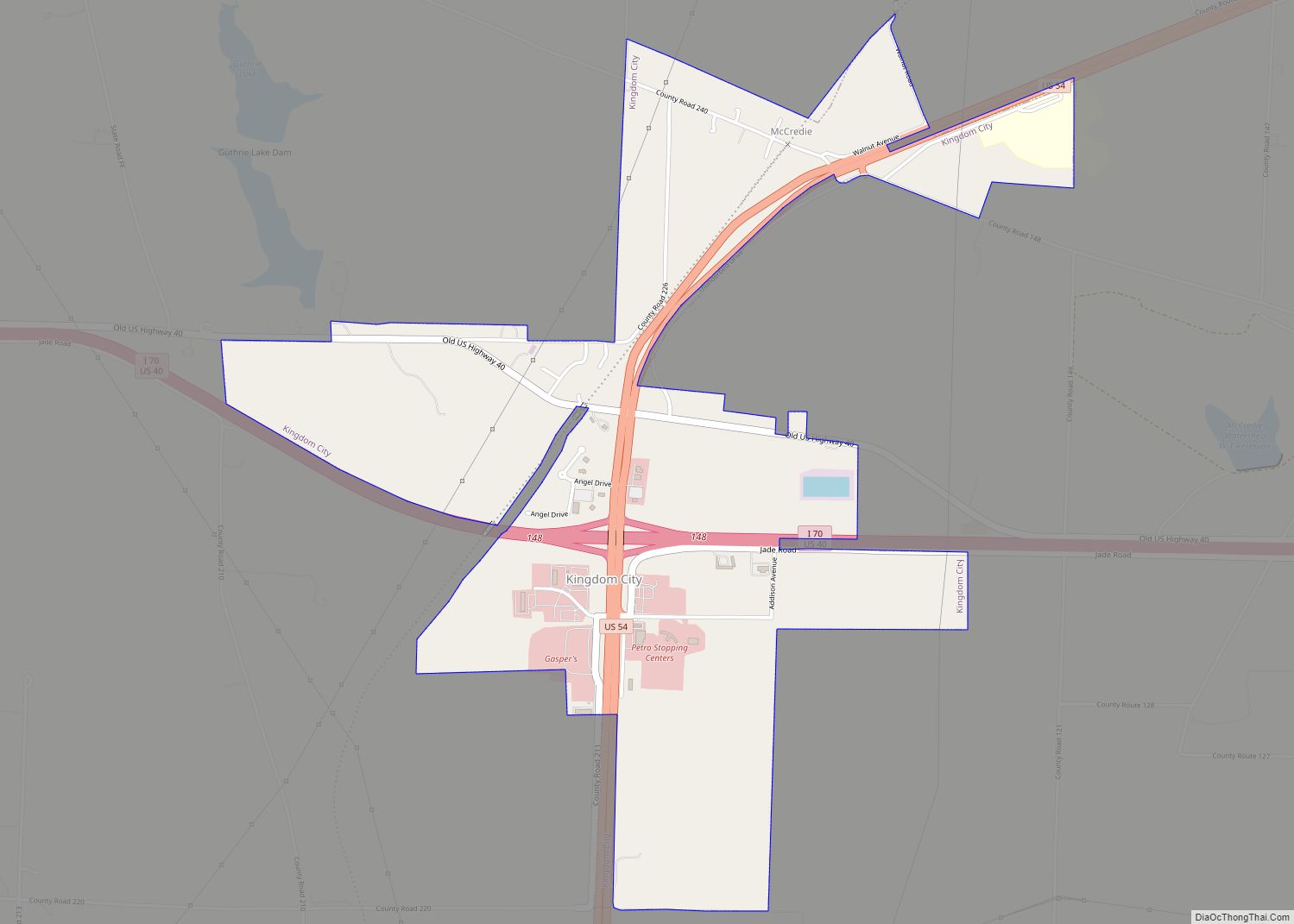
Kingdom City is a village in Callaway County, Missouri, United States. It is part of the Jefferson City Metropolitan Statistical Area. The population was 128 at the 2010 census. The village lies north of the intersection of Interstate 70 and U.S. Route 54.
| Name: | Kingdom City village |
|---|---|
| LSAD Code: | 47 |
| LSAD Description: | village (suffix) |
| State: | Missouri |
| County: | Callaway County |
| Incorporated: | 1973 |
| Elevation: | 801 ft (244 m) |
| Total Area: | 1.88 sq mi (4.85 km²) |
| Land Area: | 1.85 sq mi (4.80 km²) |
| Water Area: | 0.02 sq mi (0.05 km²) |
| Total Population: | 134 |
| Population Density: | 72.28/sq mi (27.91/km²) |
| ZIP code: | 65262 |
| Area code: | 573 |
| FIPS code: | 2938792 |
| GNISfeature ID: | 2398350 |
Online Interactive Map
Click on ![]() to view map in "full screen" mode.
to view map in "full screen" mode.
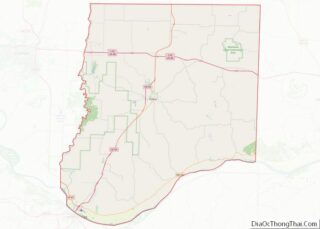
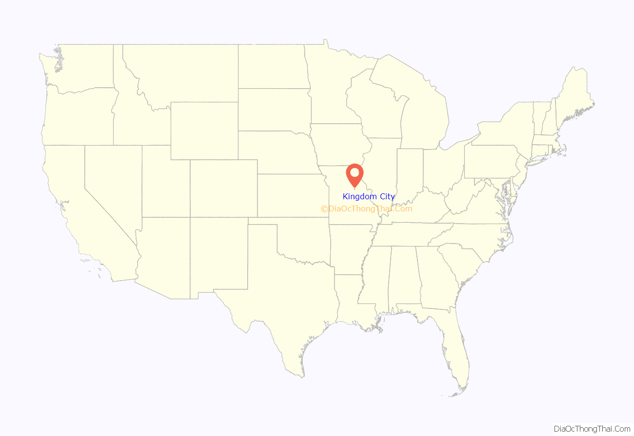
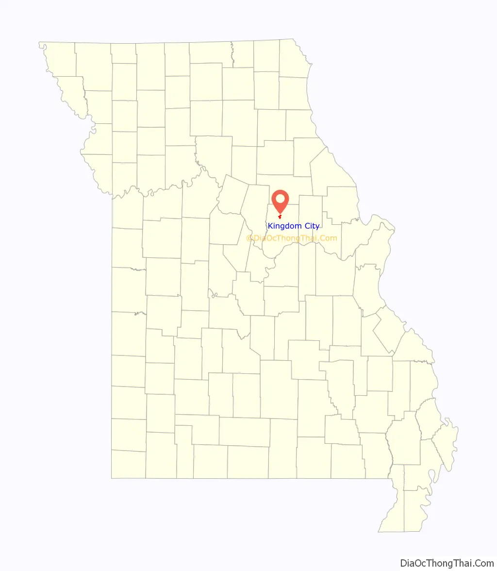
Kingdom City location map. Where is Kingdom City village?
History
Kingdom City has its origins in the building of US Route 40 in 1925, at the same time US Route 54 was being planned with the intention of intersecting US 40 somewhere along the route. The city of Fulton had hoped for US 40 to go from Columbia through Fulton and intersect US 54 in their city, but the final decision had the highways intersect in what would become Kingdom City, which was then just a rural farm and forested area south of McCredie. McCredie residents fought so hard for the highway that they staged a parade through the heart of Fulton with banners that read “54-40 or Fight”. When the road was being built and huge numbers of workers were brought in to do the work, McCredie became a boom town, with future Kingdom City receiving its first gas station and a two-story hotel, which (however) burned down in 1930.
Since the area had no name at the time the intersection was referred to only as the “Y”, with people in Fulton wanting to name it “North Fulton” and the people in McCredie naming it “South McCredie”. The Kingdom Oil Company, owned by B.P. (Bernard Parker) Beamer, suggested Kingdom City, in reflection of the nickname for Callaway County. Through the 1920s and 30s numerous dance halls, restaurants, cafés, and hotels would come and go in Kingdom City. In 1965, Gasper’s (which became a local landmark) opened for business. In 1970, the McCredie Post Office moved to Kingdom City and took the community’s name. This was the same year Kingdom City incorporated as a village and included the former unincorporated community of McCredie.
The Richland Christian Church was listed on the National Register of Historic Places in 2001.
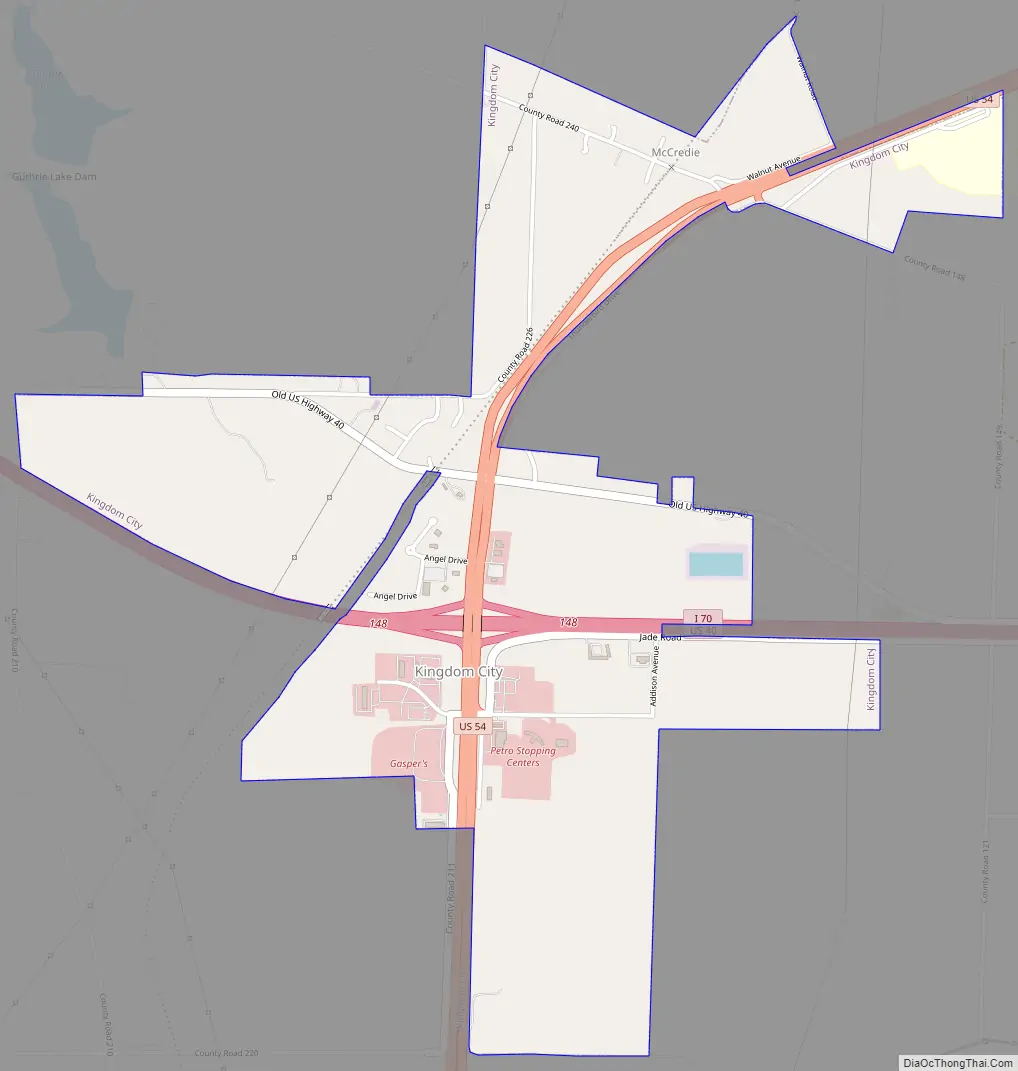
Kingdom City Road Map
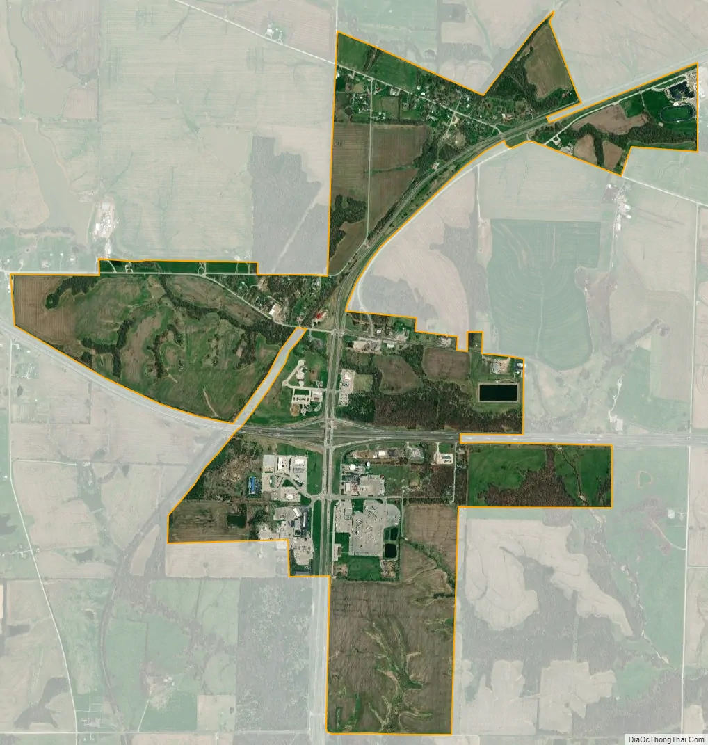
Kingdom City city Satellite Map
Geography
Kingdom City is located along U.S. Route 54 approximately one half mile north of I-70. McKinney Creek flows past the south edge of the community and Auxvasse Creek passes two miles to the north. The town of Auxvasse lies about five miles north along Route 54.
According to the United States Census Bureau, the village has a total area of 1.82 square miles (4.71 km), of which 1.80 square miles (4.66 km) of it is land and 0.02 square miles (0.05 km) is water.
See also
Map of Missouri State and its subdivision:- Adair
- Andrew
- Atchison
- Audrain
- Barry
- Barton
- Bates
- Benton
- Bollinger
- Boone
- Buchanan
- Butler
- Caldwell
- Callaway
- Camden
- Cape Girardeau
- Carroll
- Carter
- Cass
- Cedar
- Chariton
- Christian
- Clark
- Clay
- Clinton
- Cole
- Cooper
- Crawford
- Dade
- Dallas
- Daviess
- De Kalb
- Dent
- Douglas
- Dunklin
- Franklin
- Gasconade
- Gentry
- Greene
- Grundy
- Harrison
- Henry
- Hickory
- Holt
- Howard
- Howell
- Iron
- Jackson
- Jasper
- Jefferson
- Johnson
- Knox
- Laclede
- Lafayette
- Lawrence
- Lewis
- Lincoln
- Linn
- Livingston
- Macon
- Madison
- Maries
- Marion
- McDonald
- Mercer
- Miller
- Mississippi
- Moniteau
- Monroe
- Montgomery
- Morgan
- New Madrid
- Newton
- Nodaway
- Oregon
- Osage
- Ozark
- Pemiscot
- Perry
- Pettis
- Phelps
- Pike
- Platte
- Polk
- Pulaski
- Putnam
- Ralls
- Randolph
- Ray
- Reynolds
- Ripley
- Saint Charles
- Saint Clair
- Saint Francois
- Saint Louis
- Sainte Genevieve
- Saline
- Schuyler
- Scotland
- Scott
- Shannon
- Shelby
- Stoddard
- Stone
- Sullivan
- Taney
- Texas
- Vernon
- Warren
- Washington
- Wayne
- Webster
- Worth
- Wright
- Alabama
- Alaska
- Arizona
- Arkansas
- California
- Colorado
- Connecticut
- Delaware
- District of Columbia
- Florida
- Georgia
- Hawaii
- Idaho
- Illinois
- Indiana
- Iowa
- Kansas
- Kentucky
- Louisiana
- Maine
- Maryland
- Massachusetts
- Michigan
- Minnesota
- Mississippi
- Missouri
- Montana
- Nebraska
- Nevada
- New Hampshire
- New Jersey
- New Mexico
- New York
- North Carolina
- North Dakota
- Ohio
- Oklahoma
- Oregon
- Pennsylvania
- Rhode Island
- South Carolina
- South Dakota
- Tennessee
- Texas
- Utah
- Vermont
- Virginia
- Washington
- West Virginia
- Wisconsin
- Wyoming