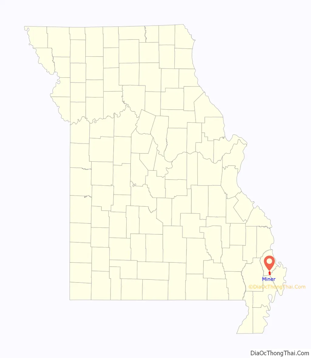
Miner is a city in Mississippi and Scott counties in the U.S. state of Missouri. It borders the city of Sikeston to the east. The population was 916 at the 2020 census.
| Name: | Miner city |
|---|---|
| LSAD Code: | 25 |
| LSAD Description: | city (suffix) |
| State: | Missouri |
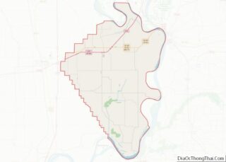
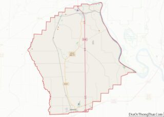
| County: | Mississippi County, Scott County |
| Elevation: | 312 ft (95 m) |
| Total Area: | 4.61 sq mi (11.94 km²) |
| Land Area: | 4.61 sq mi (11.94 km²) |
| Water Area: | 0.00 sq mi (0.00 km²) |
| Total Population: | 916 |
| Population Density: | 198.74/sq mi (76.73/km²) |
| ZIP code: | 63801 |
| Area code: | 573 |
| FIPS code: | 2948656 |
| GNISfeature ID: | 2395343 |
Online Interactive Map
Click on ![]() to view map in "full screen" mode.
to view map in "full screen" mode.
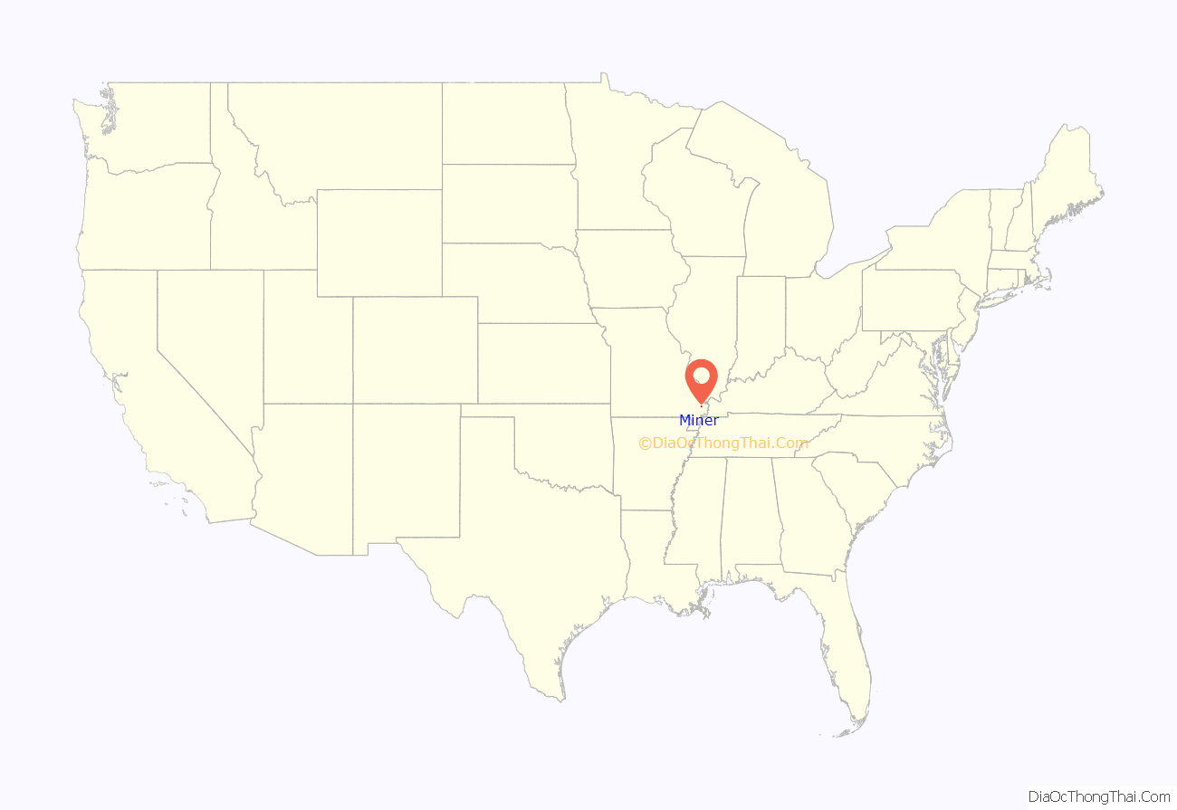
Miner location map. Where is Miner city?
History
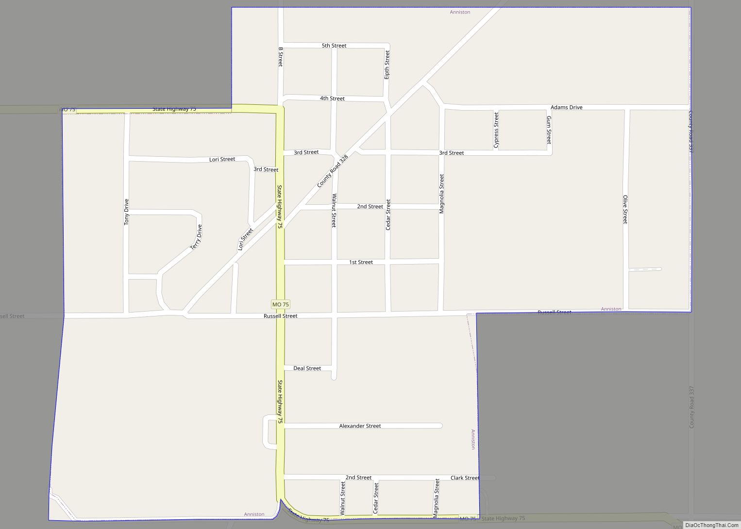
Miner was established in the 1860s as a stop along the Missouri Pacific Railroad. It was originally known as Vannoy, but the name had been changed to “Minner Switch” by the time a post office was established in 1895. The community has the name of one Mr. Miner (or Minner), the proprietor of a local sawmill.
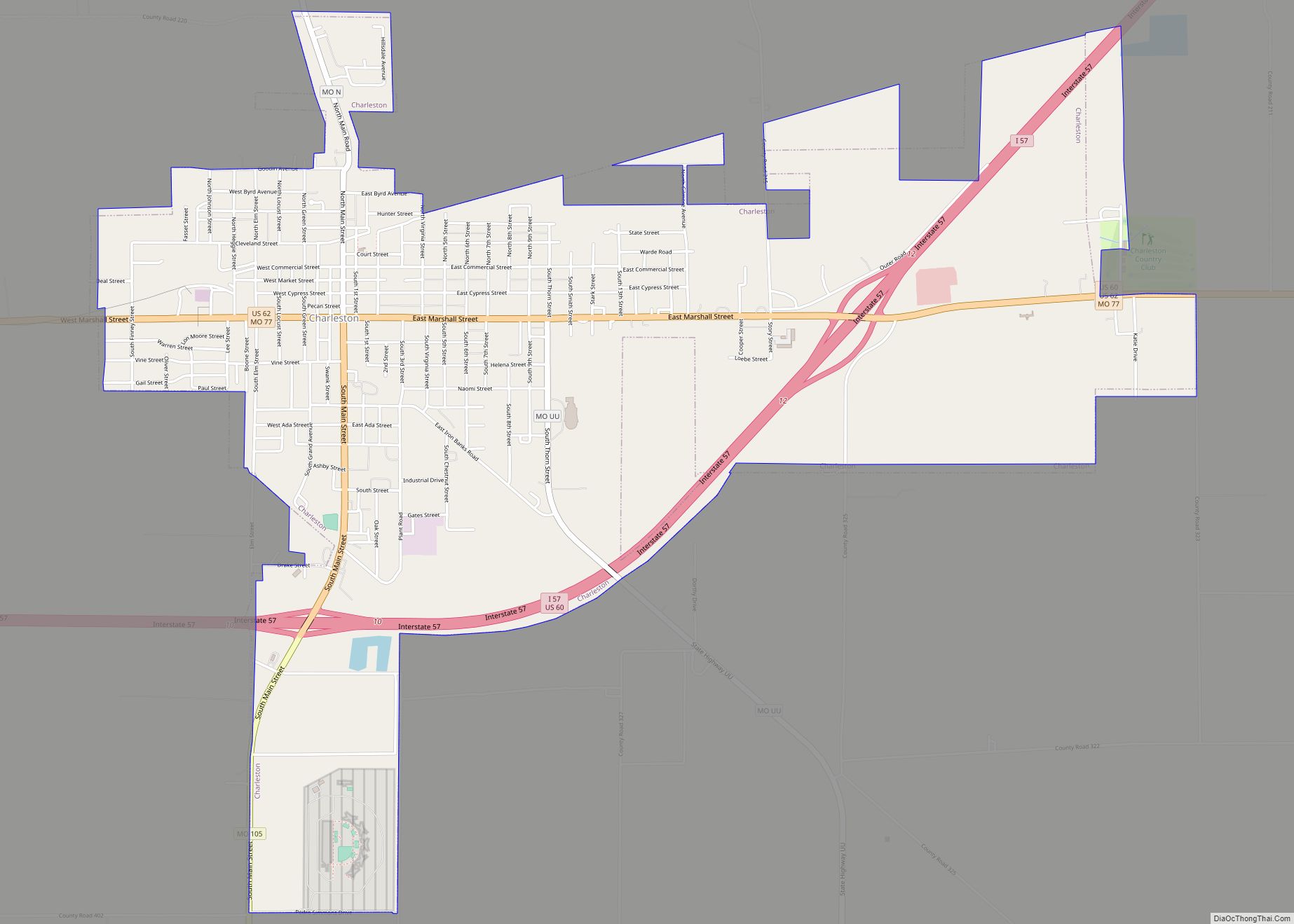
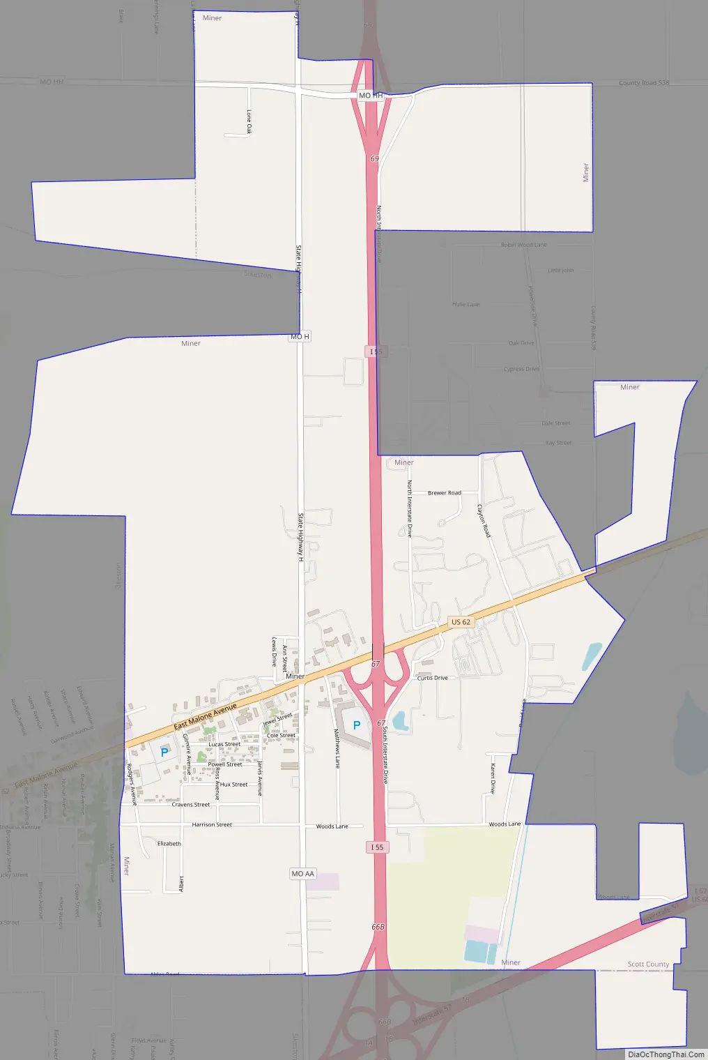
Miner Road Map
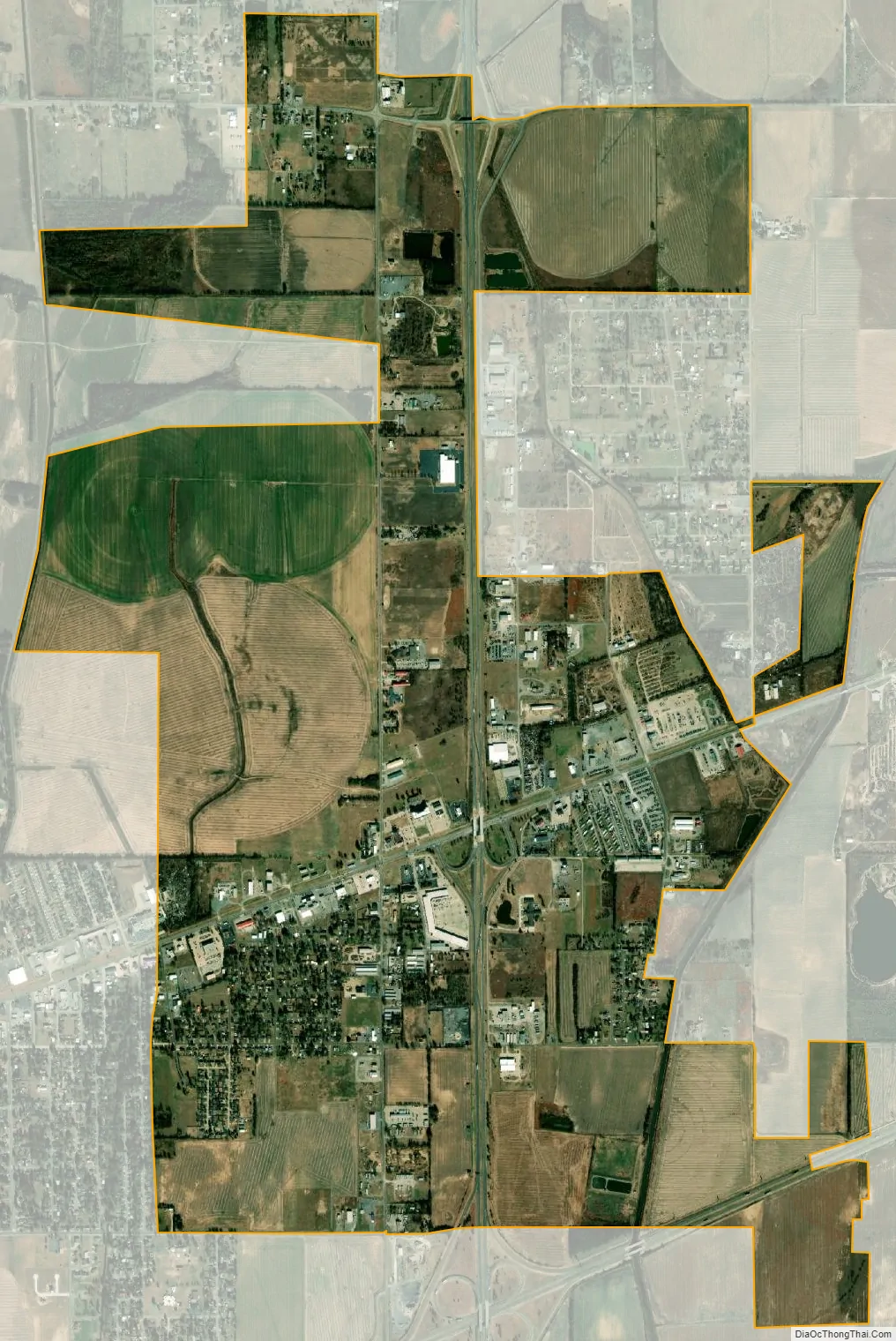
Miner city Satellite Map
Geography
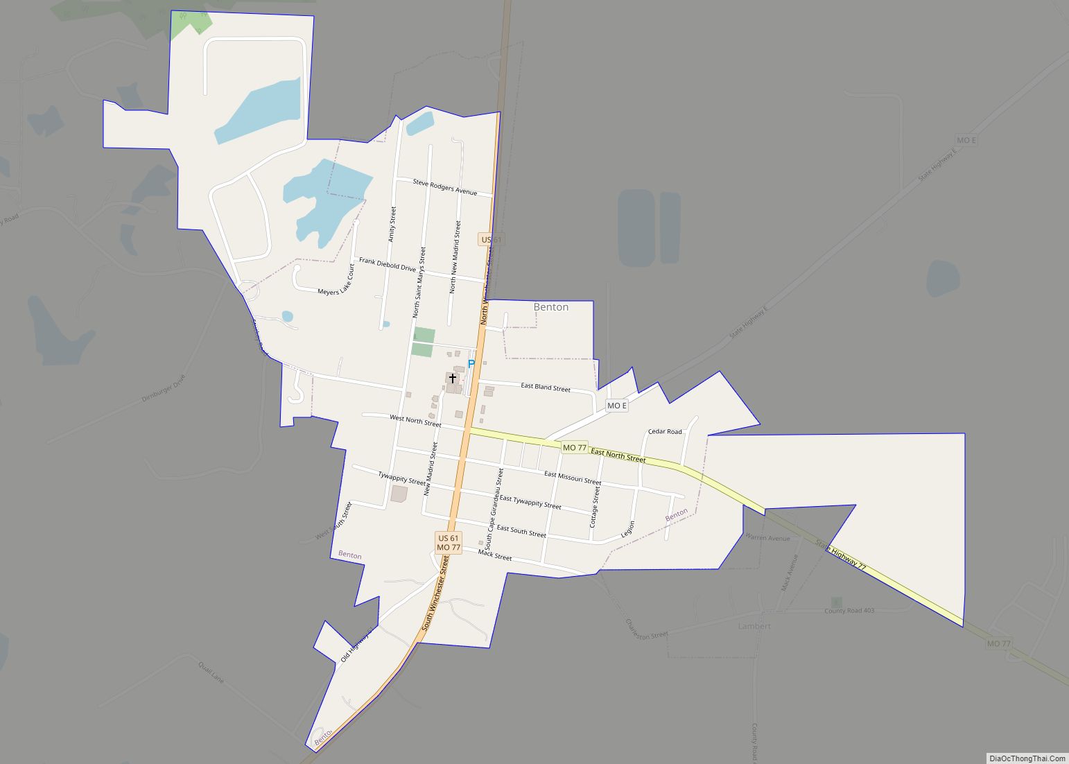
The city is concentrated around the intersection of Interstate 55 and U.S. Route 62 (Exit 67). The city’s municipal boundaries extend northward adjacent to I-55 to Exit 69, and southward to its interchange with Interstate 57 (this point marks the southern terminus of I-57). Sikeston borders Miner to the west.
According to the United States Census Bureau, the city has a total area of 4.56 square miles (11.81 km), all land.
See also
Map of Missouri State and its subdivision:- Adair
- Andrew
- Atchison
- Audrain
- Barry
- Barton
- Bates
- Benton
- Bollinger
- Boone
- Buchanan
- Butler
- Caldwell
- Callaway
- Camden
- Cape Girardeau
- Carroll
- Carter
- Cass
- Cedar
- Chariton
- Christian
- Clark
- Clay
- Clinton
- Cole
- Cooper
- Crawford
- Dade
- Dallas
- Daviess
- De Kalb
- Dent
- Douglas
- Dunklin
- Franklin
- Gasconade
- Gentry
- Greene
- Grundy
- Harrison
- Henry
- Hickory
- Holt
- Howard
- Howell
- Iron
- Jackson
- Jasper
- Jefferson
- Johnson
- Knox
- Laclede
- Lafayette
- Lawrence
- Lewis
- Lincoln
- Linn
- Livingston
- Macon
- Madison
- Maries
- Marion
- McDonald
- Mercer
- Miller
- Mississippi
- Moniteau
- Monroe
- Montgomery
- Morgan
- New Madrid
- Newton
- Nodaway
- Oregon
- Osage
- Ozark
- Pemiscot
- Perry
- Pettis
- Phelps
- Pike
- Platte
- Polk
- Pulaski
- Putnam
- Ralls
- Randolph
- Ray
- Reynolds
- Ripley
- Saint Charles
- Saint Clair
- Saint Francois
- Saint Louis
- Sainte Genevieve
- Saline
- Schuyler
- Scotland
- Scott
- Shannon
- Shelby
- Stoddard
- Stone
- Sullivan
- Taney
- Texas
- Vernon
- Warren
- Washington
- Wayne
- Webster
- Worth
- Wright
- Alabama
- Alaska
- Arizona
- Arkansas
- California
- Colorado
- Connecticut
- Delaware
- District of Columbia
- Florida
- Georgia
- Hawaii
- Idaho
- Illinois
- Indiana
- Iowa
- Kansas
- Kentucky
- Louisiana
- Maine
- Maryland
- Massachusetts
- Michigan
- Minnesota
- Mississippi
- Missouri
- Montana
- Nebraska
- Nevada
- New Hampshire
- New Jersey
- New Mexico
- New York
- North Carolina
- North Dakota
- Ohio
- Oklahoma
- Oregon
- Pennsylvania
- Rhode Island
- South Carolina
- South Dakota
- Tennessee
- Texas
- Utah
- Vermont
- Virginia
- Washington
- West Virginia
- Wisconsin
- Wyoming