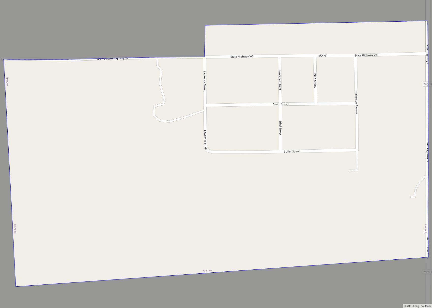
Pinhook is an inactive village in Mississippi County, Missouri, United States. The population was 6 at the 2020 census.
It was settled in the 1920s by sharecroppers. The community takes its name from a nearby ridge of the same name which in turn was so named on account it having the form of a pinhook. The community was flooded in May 2011 when the U.S. Army Corps of Engineers breached the Bird’s Point Levee to save the town of Cairo, Illinois. The government did not assist or provide help to evacuate Pinhook. The residents were left entirely on their own before the levee breach. Afterwards, the former residents resettled in East Prairie and Sikeston.
| Name: | Pinhook village |
|---|---|
| LSAD Code: | 47 |
| LSAD Description: | village (suffix) |
| State: | Missouri |
| County: | Mississippi County |
| Incorporated: | February 23, 1995 |
| Elevation: | 302 ft (92 m) |
| Total Area: | 0.14 sq mi (0.37 km²) |
| Land Area: | 0.14 sq mi (0.37 km²) |
| Water Area: | 0.00 sq mi (0.00 km²) |
| Total Population: | 6 |
| Population Density: | 42.25/sq mi (16.30/km²) |
| FIPS code: | 2957926 |
| GNISfeature ID: | 2399677 |
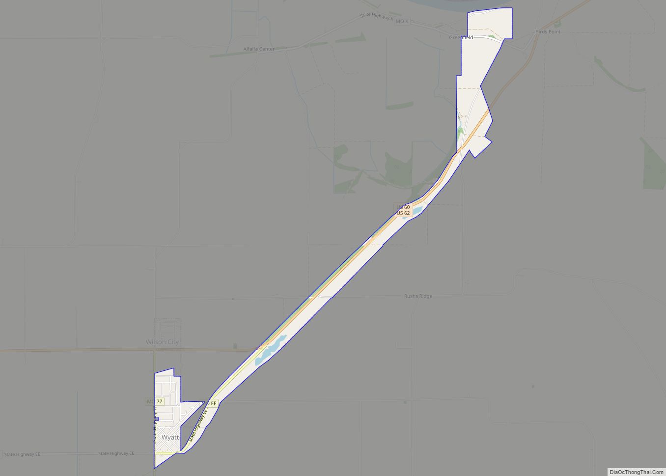
Online Interactive Map
Click on ![]() to view map in "full screen" mode.
to view map in "full screen" mode.
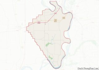
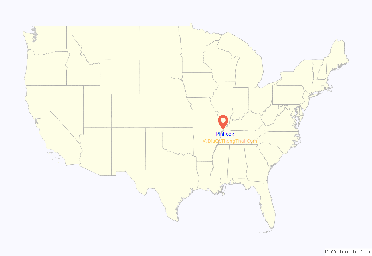
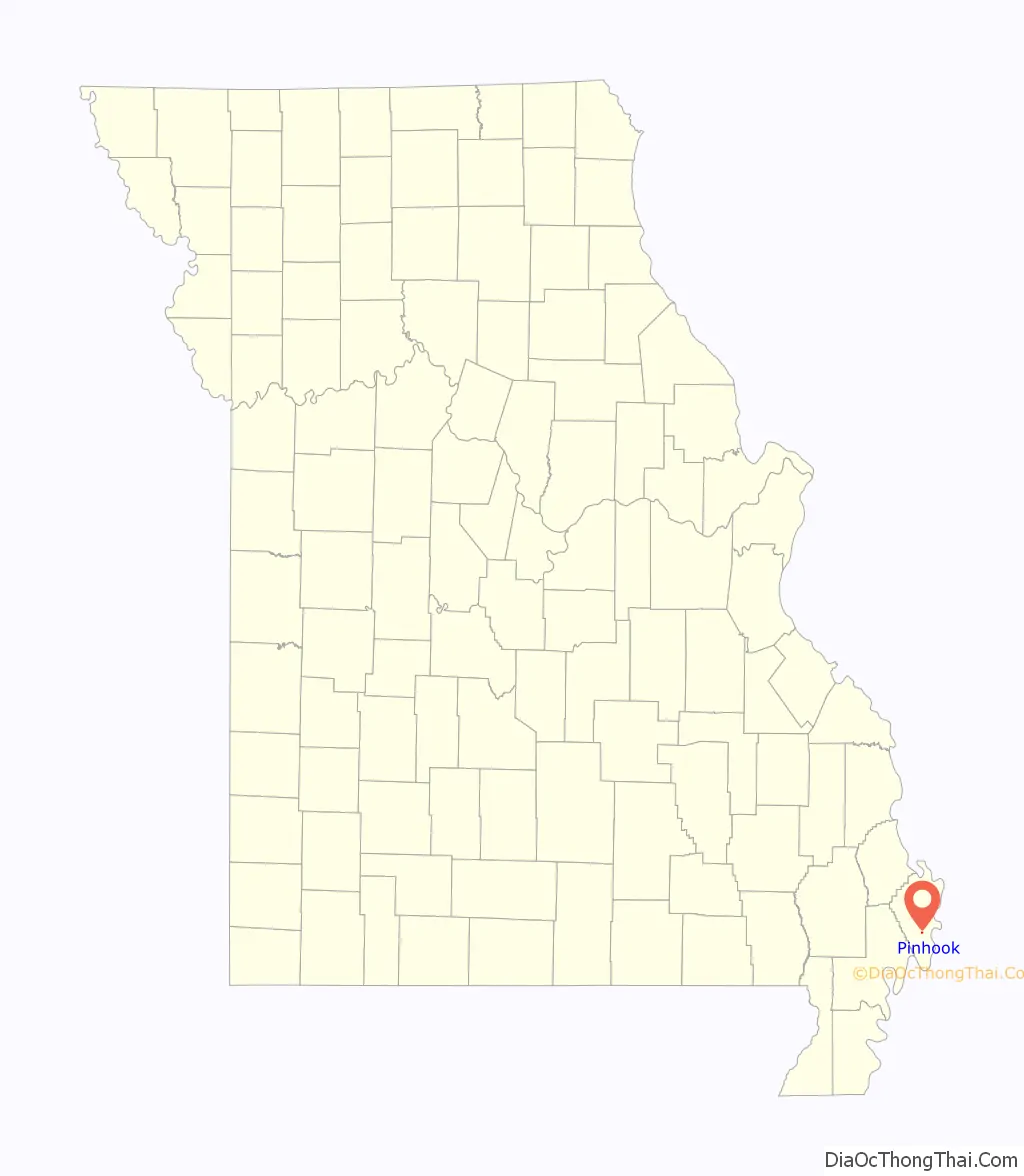
Pinhook location map. Where is Pinhook village?
History
Mystery surrounds the founding of Pinhook. Many people believe that it was founded by sharecroppers in the 1930s. This largely African American colony expanded to nearly 250 people at its peak. During the summer of 2011 the Mississippi began to flood. Pinhook was destroyed on May 2, 2011 when the Birds Point-New Madrid levee was blown to save Cairo, Illinois from flooding. Everyone in Pinhook lost the homes that they had lived in for many years. Many were devastated because they loved living in a small community, knowing everyone. These people fled to family or apartments, until they could find a new home. There has been talk of relocating the community, but the funding is unavailable. In August 2015 the remaining buildings were bulldozed.
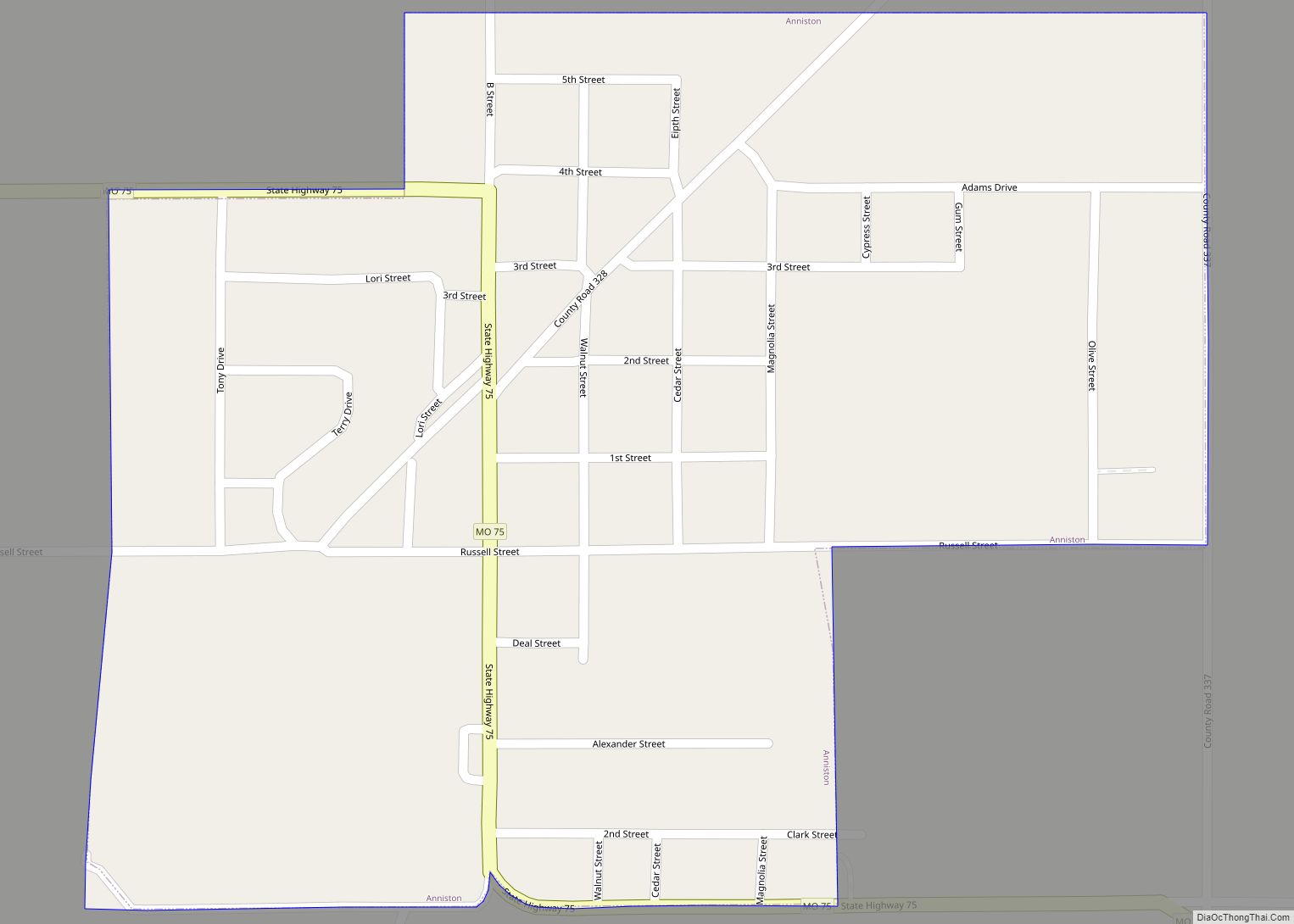
Pinhook Road Map
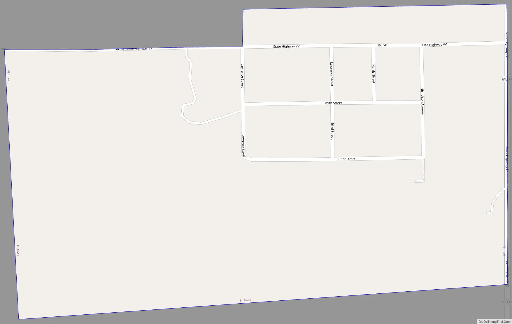
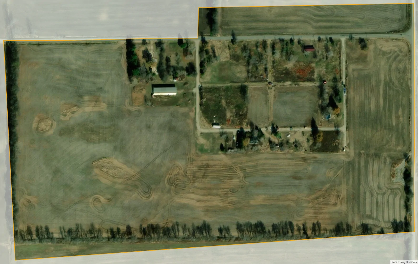
Pinhook city Satellite Map
Geography
Pinhook is located at 36°44′21″N 89°16′4″W / 36.73917°N 89.26778°W / 36.73917; -89.26778 (36.739225, -89.267693).
According to the United States Census Bureau, the village has a total area of 0.14 square miles (0.36 km), all land.
See also
Map of Missouri State and its subdivision:- Adair
- Andrew
- Atchison
- Audrain
- Barry
- Barton
- Bates
- Benton
- Bollinger
- Boone
- Buchanan
- Butler
- Caldwell
- Callaway
- Camden
- Cape Girardeau
- Carroll
- Carter
- Cass
- Cedar
- Chariton
- Christian
- Clark
- Clay
- Clinton
- Cole
- Cooper
- Crawford
- Dade
- Dallas
- Daviess
- De Kalb
- Dent
- Douglas
- Dunklin
- Franklin
- Gasconade
- Gentry
- Greene
- Grundy
- Harrison
- Henry
- Hickory
- Holt
- Howard
- Howell
- Iron
- Jackson
- Jasper
- Jefferson
- Johnson
- Knox
- Laclede
- Lafayette
- Lawrence
- Lewis
- Lincoln
- Linn
- Livingston
- Macon
- Madison
- Maries
- Marion
- McDonald
- Mercer
- Miller
- Mississippi
- Moniteau
- Monroe
- Montgomery
- Morgan
- New Madrid
- Newton
- Nodaway
- Oregon
- Osage
- Ozark
- Pemiscot
- Perry
- Pettis
- Phelps
- Pike
- Platte
- Polk
- Pulaski
- Putnam
- Ralls
- Randolph
- Ray
- Reynolds
- Ripley
- Saint Charles
- Saint Clair
- Saint Francois
- Saint Louis
- Sainte Genevieve
- Saline
- Schuyler
- Scotland
- Scott
- Shannon
- Shelby
- Stoddard
- Stone
- Sullivan
- Taney
- Texas
- Vernon
- Warren
- Washington
- Wayne
- Webster
- Worth
- Wright
- Alabama
- Alaska
- Arizona
- Arkansas
- California
- Colorado
- Connecticut
- Delaware
- District of Columbia
- Florida
- Georgia
- Hawaii
- Idaho
- Illinois
- Indiana
- Iowa
- Kansas
- Kentucky
- Louisiana
- Maine
- Maryland
- Massachusetts
- Michigan
- Minnesota
- Mississippi
- Missouri
- Montana
- Nebraska
- Nevada
- New Hampshire
- New Jersey
- New Mexico
- New York
- North Carolina
- North Dakota
- Ohio
- Oklahoma
- Oregon
- Pennsylvania
- Rhode Island
- South Carolina
- South Dakota
- Tennessee
- Texas
- Utah
- Vermont
- Virginia
- Washington
- West Virginia
- Wisconsin
- Wyoming