Lee’s Summit is a city in the U.S. state of Missouri and is a suburb in the Kansas City metropolitan area. It primarily resides in Jackson county, but also resides in Cass county. As of the 2020 census, its population was 101,108, making it the sixth-largest city in both Missouri and the Kansas City metropolitan area.
| Name: | Lee’s Summit city |
|---|---|
| LSAD Code: | 25 |
| LSAD Description: | city (suffix) |
| State: | Missouri |
| County: | Cass County, Jackson County |
| Incorporated: | October 28, 1865 |
| Elevation: | 1,024 ft (312 m) |
| Total Area: | 65.91 sq mi (170.71 km²) |
| Land Area: | 63.90 sq mi (165.49 km²) |
| Water Area: | 2.02 sq mi (5.22 km²) |
| Total Population: | 101,108 |
| Population Density: | 1,582.41/sq mi (610.97/km²) |
| Area code: | 816 |
| FIPS code: | 2941348 |
| GNISfeature ID: | 2395669 |
| Website: | cityofls.net |
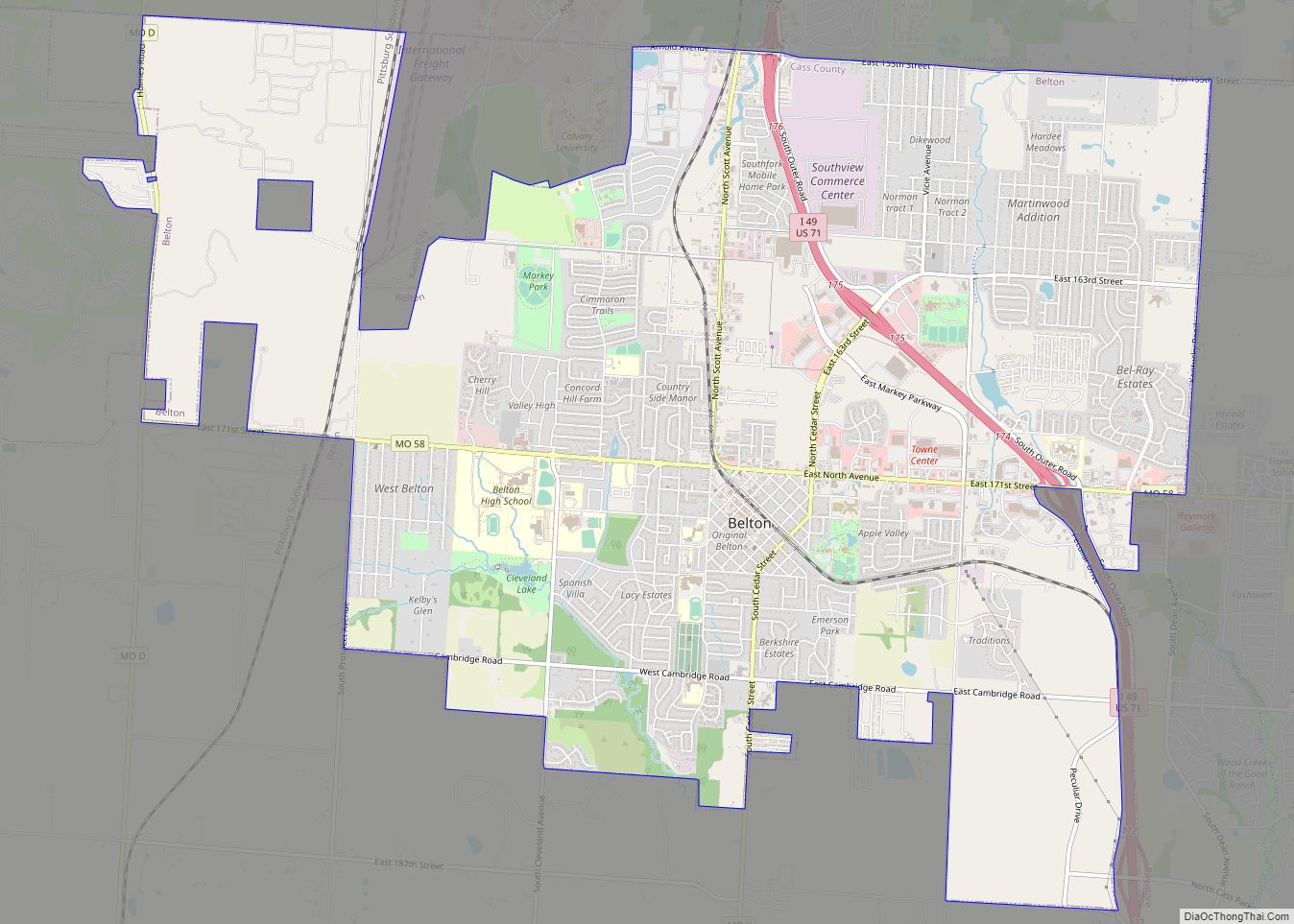
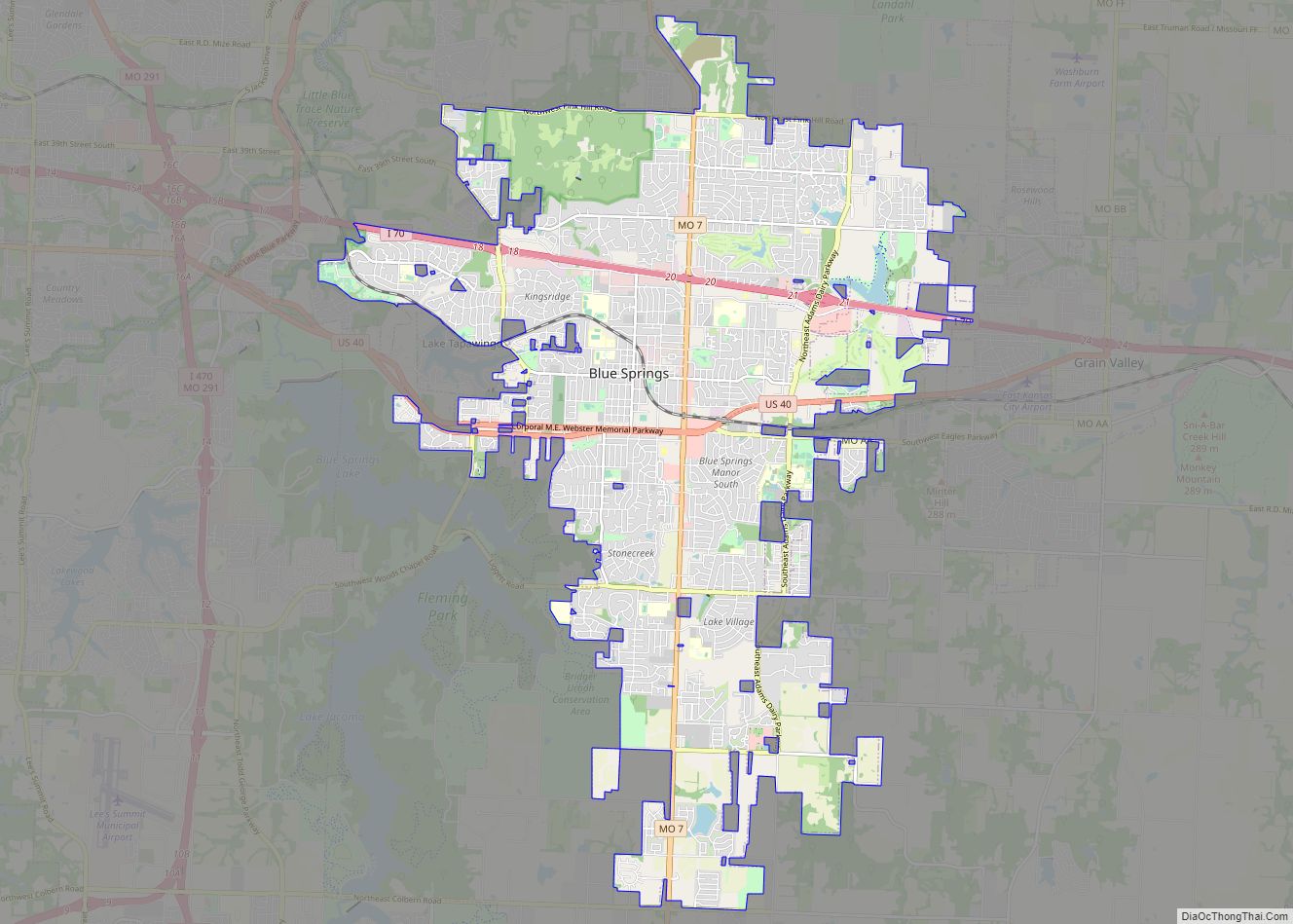
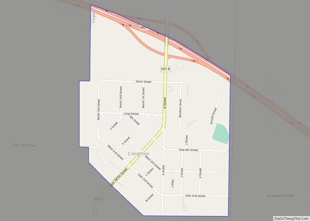
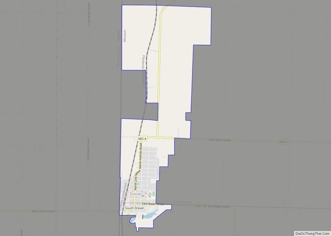
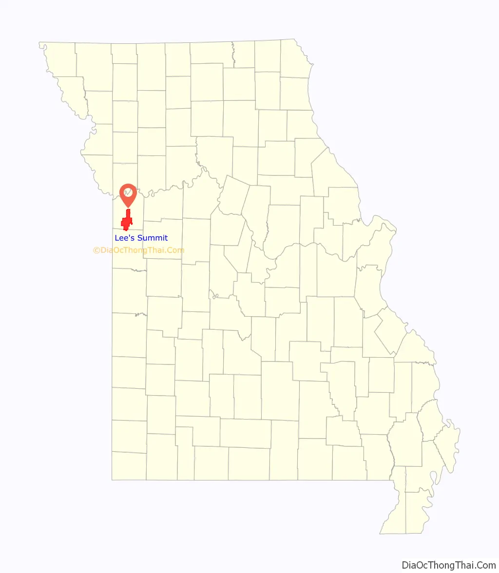
Online Interactive Map
Click on ![]() to view map in "full screen" mode.
to view map in "full screen" mode.
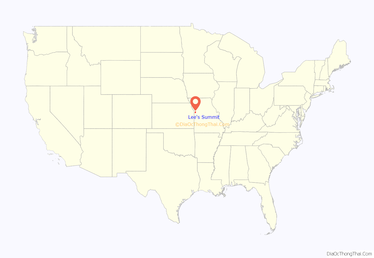
Lee’s Summit location map. Where is Lee’s Summit city?
History
The “Town of Strother” (not to be confused with a town of the same name in Monroe County) was founded by William B. Howard in October 1865. He named it for his wife, Maria D. Strother, the daughter of William D. Strother formerly of Bardstown, Kentucky. Howard came to Jackson County in 1842 from Kentucky, married Maria in 1844, and by 1850 he and Maria had 833 acres (3.37 km) and a homestead 5 miles (8 km) north of town. Howard was arrested for being a Confederate in October 1862, near the beginning of the Civil War, and after being paroled he took his family back to Kentucky for the duration of the war. After the war ended he returned and, knowing that the Missouri Pacific Railroad was surveying a route in the area, platted the town with 70 acres (280,000 m) in the fall of 1865 as the town of Strother.
In November 1868, the town’s name was changed to the “Town of Lee’s Summit”, most likely to honor early settler Dr. Pleasant John Graves Lea, who had moved to Jackson County in 1849 from Bradley County, Tennessee. Lea was listed as the postmaster of nearby Big Cedar in the 1855 United States Official Postal Guide. Dr. Lea was killed in August 1862 by Kansas Jayhawkers (or Redlegs).
When the surveyors for the Missouri Pacific Railroad came through, the local people and the railroad wanted to name the town in Dr. Lea’s honor. He had a farm on the highest point and near the path of the tracks, and his murder had taken place near the site of the proposed depot. So they chose the name of “Lea’s Summit”, the “summit” portion to reflect its highest elevation on the Missouri Pacific Railroad between St. Louis and Kansas City. But they misspelled the name “Lees Summit” (with two “e’s”; “Lee” instead of “Lea”; and leaving out the apostrophe) on a boxcar that was serving as a station and donated by the Missouri Pacific, then a sign next to the tracks, and finally in the printed time schedule for the railroad. Legend states that the name was spelled wrong on the side of the Missouri Pacific depot and has remained Lee’s Summit ever since.
Others claim that the town was named after famed Civil War General Robert E. Lee after Southerners began moving north into Missouri after the war due to the timing of General Lee’s death compared to Dr. Lea’s death. This is attributed to a quote in the Louisville Journal, January 3, 1866.
Since the name was already being circulated and published with two “e’s”, the town petitioned the state legislature and incorporated its name in 1868 as: “Town of Lee’s Summit”.
The spelling is unusual because apostrophes are typically not included in place names due to potential confusion regarding whether the place is owned by the namesake person. Most possessive place names lack an apostrophe, such as Harpers Ferry, West Virginia, and Boardmans Point, New Hampshire.
The growth of the town can be studied through historic Sanborn maps, which document building types and uses in the city during the late nineteenth and early twentieth centuries.
In 1913, R. A. Long, the owner of a lumber company, began building his estate, named Longview Farm, on the western edge of the city and into part of Kansas City. When complete, it had a mansion, five barns and 42 buildings in the 1,700 acres (6.9 km). Harrison Metheny, grandfather of jazz legend Pat Metheny, was an electrician during the construction of Longview Farm. The farm also had a church, Longview Chapel Christian Church, which was completed in 1915. It soon became internationally known as a showplace farm. Today, one of the horse barns is home to Longview Farm Elementary. The church and mansion are on the National Register of Historic Places. Other parts of the farm have been turned into Longview Lake, Longview Community College, and a development called New Longview. Lee’s Summit is also home to Missouri Town 1855 and Lee’s Summit Historical Cemetery.
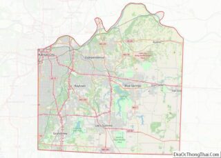
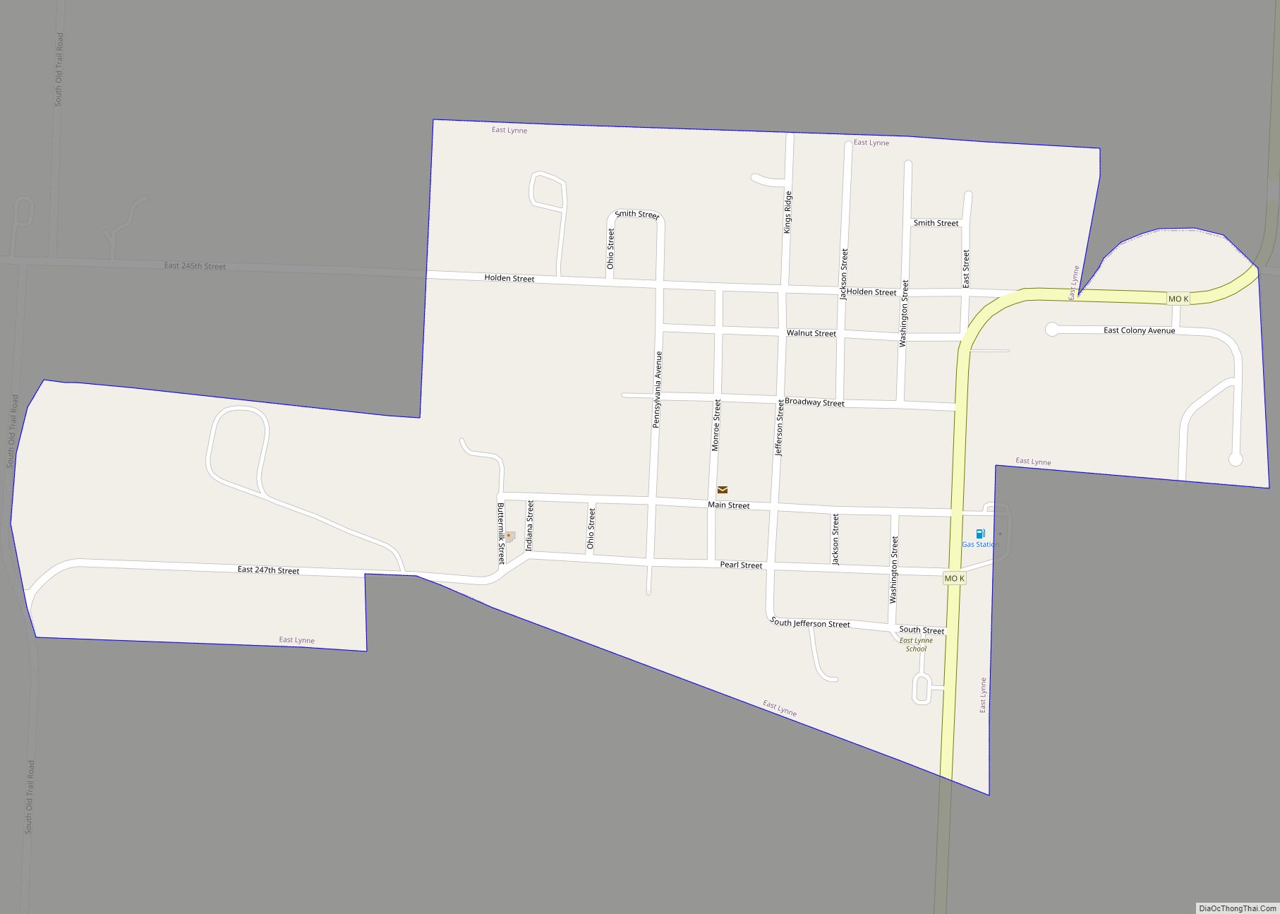
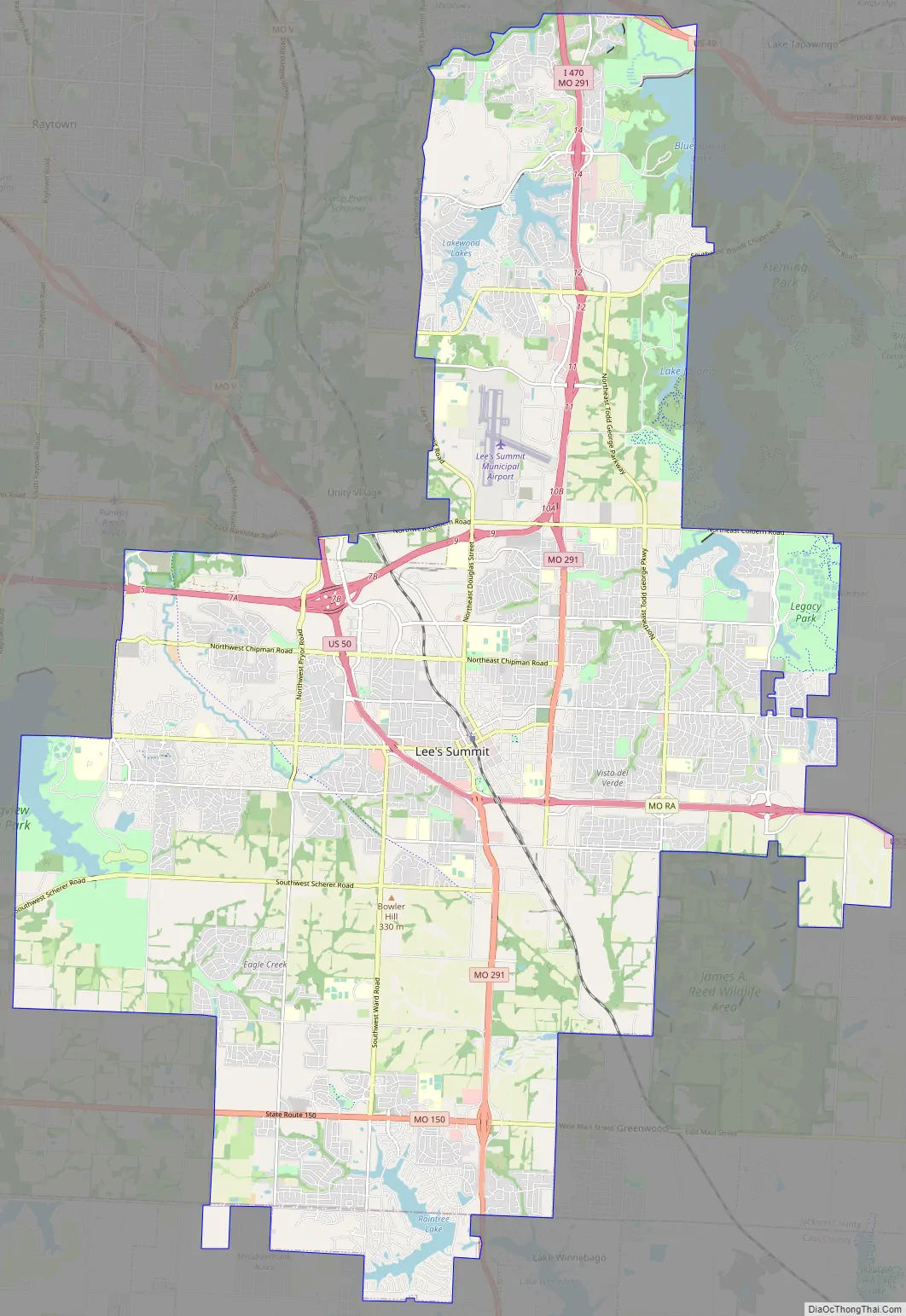
Lee’s Summit Road Map
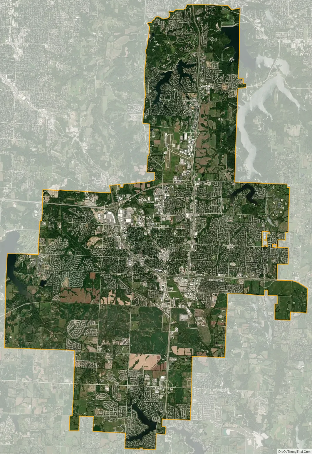
Lee’s Summit city Satellite Map
Geography
According to the United States Census Bureau, the city has a total area of 65.911 square miles (170.71 km), of which 63.895 square miles (165.49 km) is land and 2.016 square miles (5.22 km) is water.
See also
Map of Missouri State and its subdivision:- Adair
- Andrew
- Atchison
- Audrain
- Barry
- Barton
- Bates
- Benton
- Bollinger
- Boone
- Buchanan
- Butler
- Caldwell
- Callaway
- Camden
- Cape Girardeau
- Carroll
- Carter
- Cass
- Cedar
- Chariton
- Christian
- Clark
- Clay
- Clinton
- Cole
- Cooper
- Crawford
- Dade
- Dallas
- Daviess
- De Kalb
- Dent
- Douglas
- Dunklin
- Franklin
- Gasconade
- Gentry
- Greene
- Grundy
- Harrison
- Henry
- Hickory
- Holt
- Howard
- Howell
- Iron
- Jackson
- Jasper
- Jefferson
- Johnson
- Knox
- Laclede
- Lafayette
- Lawrence
- Lewis
- Lincoln
- Linn
- Livingston
- Macon
- Madison
- Maries
- Marion
- McDonald
- Mercer
- Miller
- Mississippi
- Moniteau
- Monroe
- Montgomery
- Morgan
- New Madrid
- Newton
- Nodaway
- Oregon
- Osage
- Ozark
- Pemiscot
- Perry
- Pettis
- Phelps
- Pike
- Platte
- Polk
- Pulaski
- Putnam
- Ralls
- Randolph
- Ray
- Reynolds
- Ripley
- Saint Charles
- Saint Clair
- Saint Francois
- Saint Louis
- Sainte Genevieve
- Saline
- Schuyler
- Scotland
- Scott
- Shannon
- Shelby
- Stoddard
- Stone
- Sullivan
- Taney
- Texas
- Vernon
- Warren
- Washington
- Wayne
- Webster
- Worth
- Wright
- Alabama
- Alaska
- Arizona
- Arkansas
- California
- Colorado
- Connecticut
- Delaware
- District of Columbia
- Florida
- Georgia
- Hawaii
- Idaho
- Illinois
- Indiana
- Iowa
- Kansas
- Kentucky
- Louisiana
- Maine
- Maryland
- Massachusetts
- Michigan
- Minnesota
- Mississippi
- Missouri
- Montana
- Nebraska
- Nevada
- New Hampshire
- New Jersey
- New Mexico
- New York
- North Carolina
- North Dakota
- Ohio
- Oklahoma
- Oregon
- Pennsylvania
- Rhode Island
- South Carolina
- South Dakota
- Tennessee
- Texas
- Utah
- Vermont
- Virginia
- Washington
- West Virginia
- Wisconsin
- Wyoming