Unity Village is a village in Jackson County, Missouri, United States, bordering Kansas City and Lee’s Summit. It is part of the Kansas City metropolitan area. Its population was 99 at the 2010 census. The founders of the Unity spiritual movement, Charles and Myrtle Fillmore, purchased a 58-acre farm in 1919 as a weekend getaway for employees of their downtown Kansas City headquarters. In March of 1920, the land came to be known as Unity Farm, and the following purchase of 12 surrounding farms expanded the land to nearly 1,500 acres.
The farm produced fruits and vegetables, including 7,500 apple trees, a 400-tree peach orchard, 12 acres of grapevines, cherry and plum trees, and fields of oats, corn, wheat, strawberries, asparagus, and soybeans. Unity Farm also supported a poultry house containing 2,000 white leghorn hens, whose eggs helped sustain a meatless menu at the Unity Inn cafeteria downtown.
The Fillmores’ work was consolidated at Unity Village after World War II, and it is now the world headquarters for the ongoing spiritual movement. On March 15, 1953, the State of Missouri officially incorporated the land as Unity Village. In the 2010 census, its population was 99.
The centerpiece of Unity Village is a beautiful campus with stunning and unique architecture and historic buildings. The grounds feature beautiful dwellings in the English Cotswold style as well as magnificent Mediterranean-inspired buildings designed by Waldo Rickert Fillmore (also known as Rickert), the second son of Charles and Myrtle Fillmore. The Tower and an office building then used for the Silent Unity Prayer Ministry opened in 1929 and are now on the National Register of Historic Places.
Unity Village campus amenities include an award-winning hotel and conference center, vacation rental properties, a coffee shop, fitness center, nine-hole golf course, nature trails, gardens, and event spaces. The campus’s central courtyard features the largest fountain installation in the area, a nationally accredited rose garden, and the largest paver labyrinth in America. Unity Village hosts frequent events, workshops, retreats, and customized gatherings, and its courtyard, chapels, and reception hall make it a popular wedding venue. The Unity Tower was designed by the Kansas City firm Boillot & Lauck and built in 1929 to store water.
Unity Village is also home to two artificial lakes. Lake Charles R. Fillmore (named for the grandson of the Unity cofounders) was created in 1926 to supply water to the farm and orchard that Unity maintained until the 1980s. A crew of 100 men built a concrete buttress dam, the only one of its kind in Missouri and one of the few west of the Mississippi River, at a cost of $100,000 to form the lake. The lake is 42 feet deep and covers 21 surface acres, holding about 75 million gallons of water. It remains the primary water supply for the Village today, and its water is pumped to the on-campus water treatment plant.
| Name: | Unity Village village |
|---|---|
| LSAD Code: | 47 |
| LSAD Description: | village (suffix) |
| State: | Missouri |
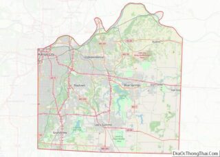
| County: | Jackson County |
| Elevation: | 935 ft (285 m) |
| Total Area: | 1.52 sq mi (3.95 km²) |
| Land Area: | 1.46 sq mi (3.78 km²) |
| Water Area: | 0.07 sq mi (0.17 km²) |
| Total Population: | 66 |
| Population Density: | 45.21/sq mi (17.46/km²) |
| ZIP code: | 64065 |
| Area code: | 816 |
| FIPS code: | 2975202 |
| GNISfeature ID: | 0728064 |
| Website: | unityvillage.org |
Online Interactive Map
Click on ![]() to view map in "full screen" mode.
to view map in "full screen" mode.
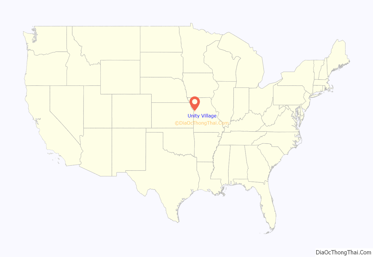
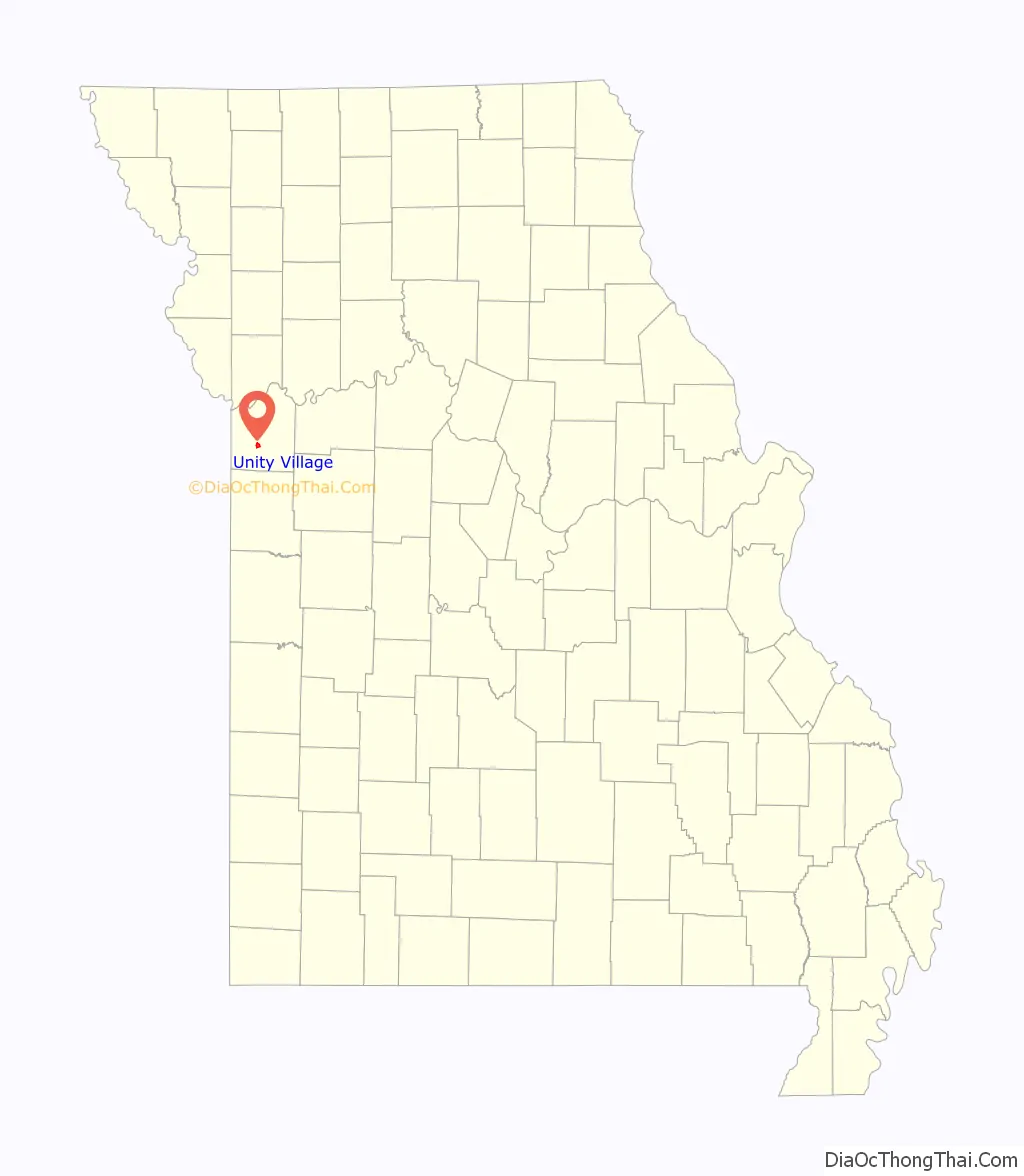
Unity Village location map. Where is Unity Village village?
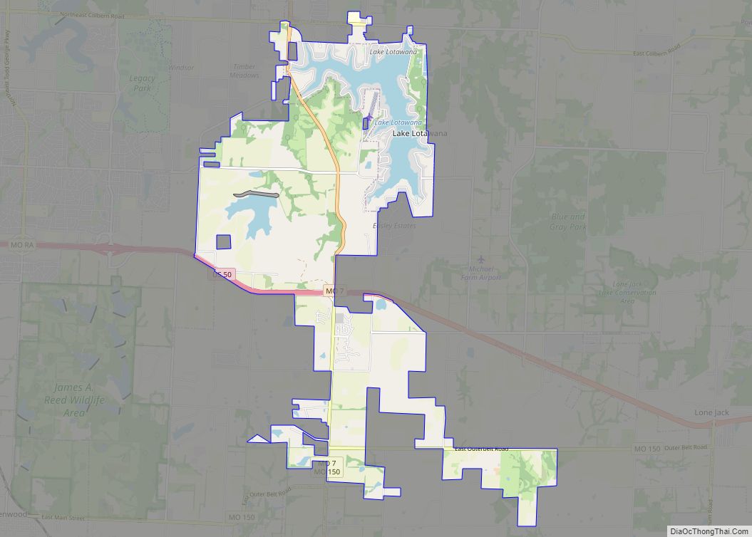
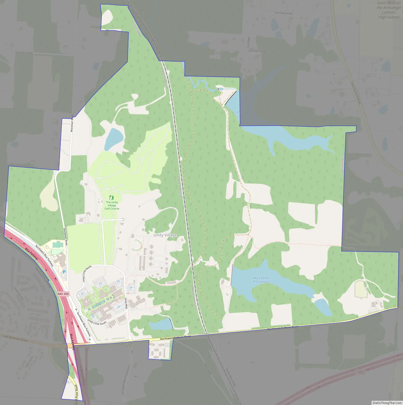
Unity Village Road Map
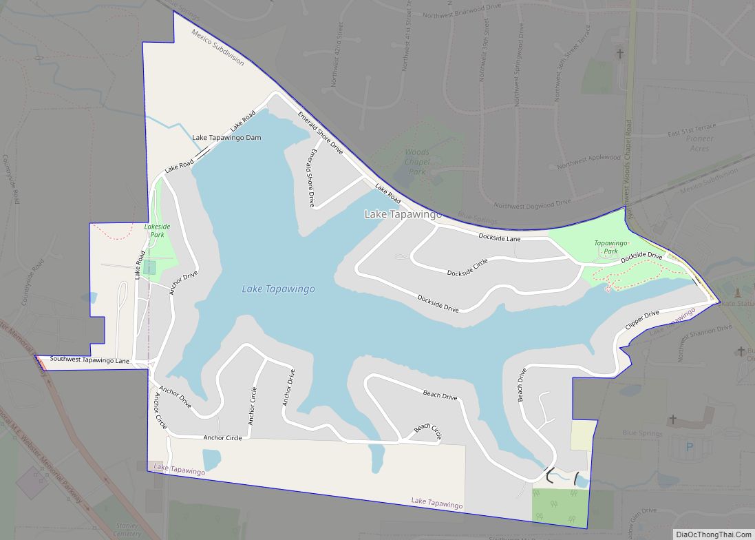
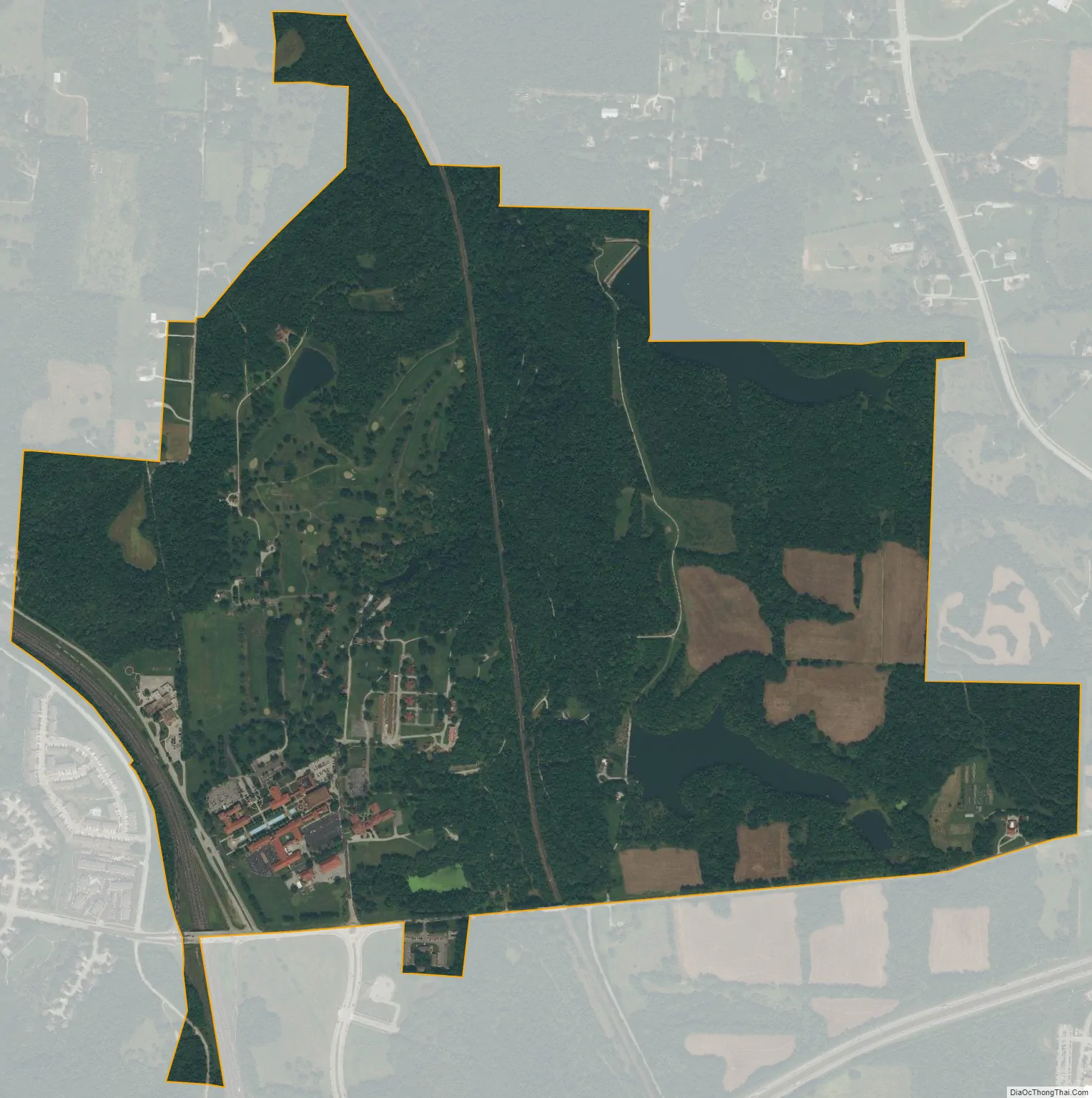
Unity Village city Satellite Map
Geography
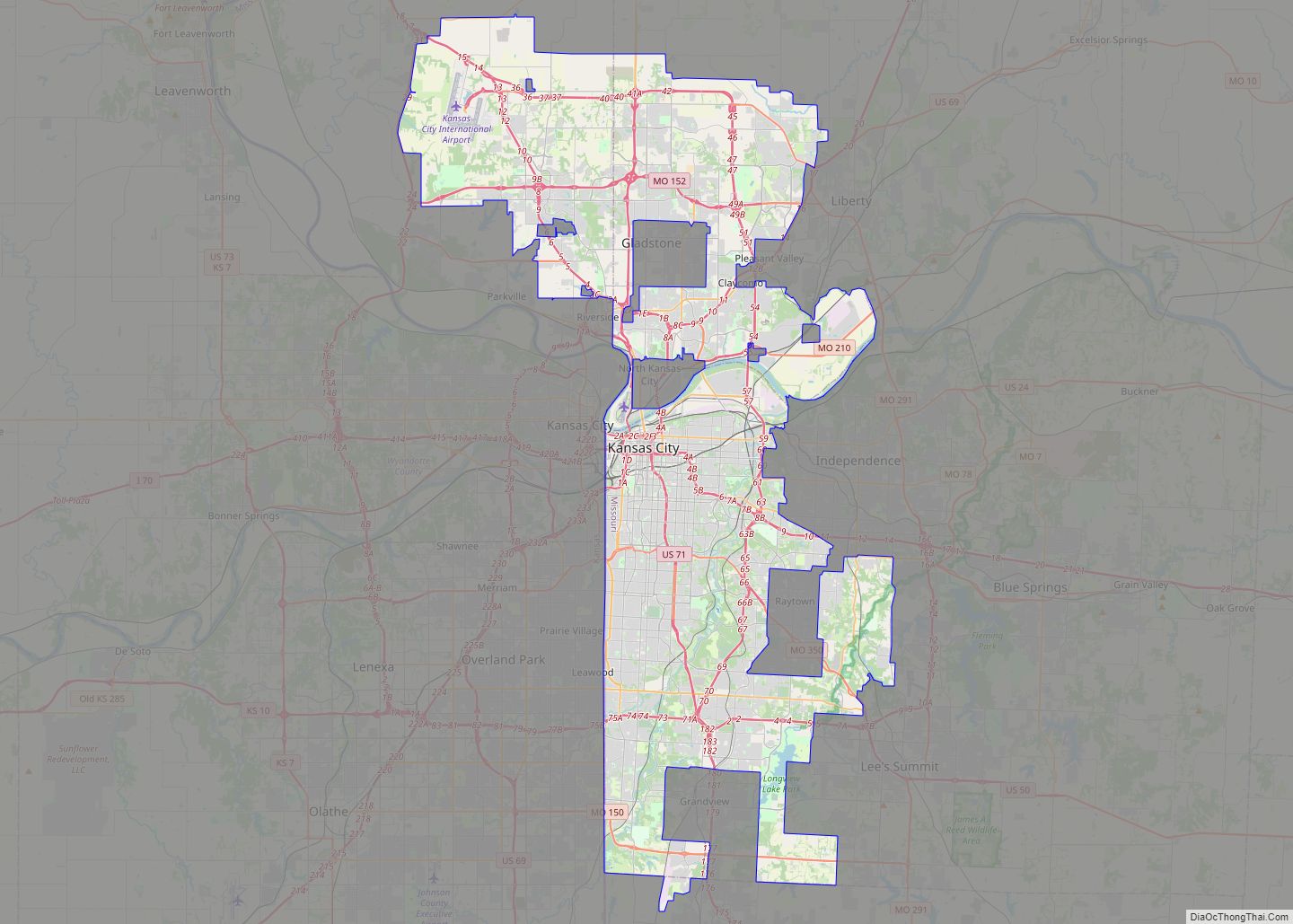
Unity Village is 15 miles (24.1 km) southeast of downtown Kansas City,
at 38°56′47″N 94°23′58″W / 38.94639°N 94.39944°W / 38.94639; -94.39944 (38.946283, -94.399311).
According to the United States Census Bureau, the village has a total area of 1.97 square miles (5.10 km), of which 1.90 square miles (4.92 km) is land and 0.07 square miles (0.18 km) is water.
See also
Map of Missouri State and its subdivision:- Adair
- Andrew
- Atchison
- Audrain
- Barry
- Barton
- Bates
- Benton
- Bollinger
- Boone
- Buchanan
- Butler
- Caldwell
- Callaway
- Camden
- Cape Girardeau
- Carroll
- Carter
- Cass
- Cedar
- Chariton
- Christian
- Clark
- Clay
- Clinton
- Cole
- Cooper
- Crawford
- Dade
- Dallas
- Daviess
- De Kalb
- Dent
- Douglas
- Dunklin
- Franklin
- Gasconade
- Gentry
- Greene
- Grundy
- Harrison
- Henry
- Hickory
- Holt
- Howard
- Howell
- Iron
- Jackson
- Jasper
- Jefferson
- Johnson
- Knox
- Laclede
- Lafayette
- Lawrence
- Lewis
- Lincoln
- Linn
- Livingston
- Macon
- Madison
- Maries
- Marion
- McDonald
- Mercer
- Miller
- Mississippi
- Moniteau
- Monroe
- Montgomery
- Morgan
- New Madrid
- Newton
- Nodaway
- Oregon
- Osage
- Ozark
- Pemiscot
- Perry
- Pettis
- Phelps
- Pike
- Platte
- Polk
- Pulaski
- Putnam
- Ralls
- Randolph
- Ray
- Reynolds
- Ripley
- Saint Charles
- Saint Clair
- Saint Francois
- Saint Louis
- Sainte Genevieve
- Saline
- Schuyler
- Scotland
- Scott
- Shannon
- Shelby
- Stoddard
- Stone
- Sullivan
- Taney
- Texas
- Vernon
- Warren
- Washington
- Wayne
- Webster
- Worth
- Wright
- Alabama
- Alaska
- Arizona
- Arkansas
- California
- Colorado
- Connecticut
- Delaware
- District of Columbia
- Florida
- Georgia
- Hawaii
- Idaho
- Illinois
- Indiana
- Iowa
- Kansas
- Kentucky
- Louisiana
- Maine
- Maryland
- Massachusetts
- Michigan
- Minnesota
- Mississippi
- Missouri
- Montana
- Nebraska
- Nevada
- New Hampshire
- New Jersey
- New Mexico
- New York
- North Carolina
- North Dakota
- Ohio
- Oklahoma
- Oregon
- Pennsylvania
- Rhode Island
- South Carolina
- South Dakota
- Tennessee
- Texas
- Utah
- Vermont
- Virginia
- Washington
- West Virginia
- Wisconsin
- Wyoming