Washburn is a city in Washburn Township, Barry County, Missouri, United States. The current town encompasses the sites of two communities formerly known as Keetsville and O’Day and is named for local pioneer Samuel C. Washburn. The population was 435 at the 2010 census.
| Name: | Washburn city |
|---|---|
| LSAD Code: | 25 |
| LSAD Description: | city (suffix) |
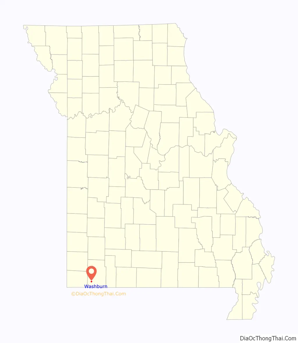
| State: | Missouri |
| County: | Barry County |
| Elevation: | 1,476 ft (450 m) |
| Total Area: | 0.90 sq mi (2.33 km²) |
| Land Area: | 0.90 sq mi (2.33 km²) |
| Water Area: | 0.00 sq mi (0.00 km²) |
| Total Population: | 407 |
| Population Density: | 452.22/sq mi (174.55/km²) |
| ZIP code: | 65772 |
| Area code: | 417 |
| FIPS code: | 2977200 |
| GNISfeature ID: | 2397204 |
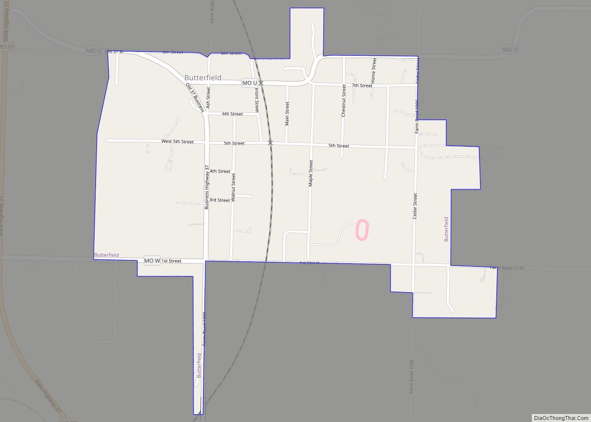
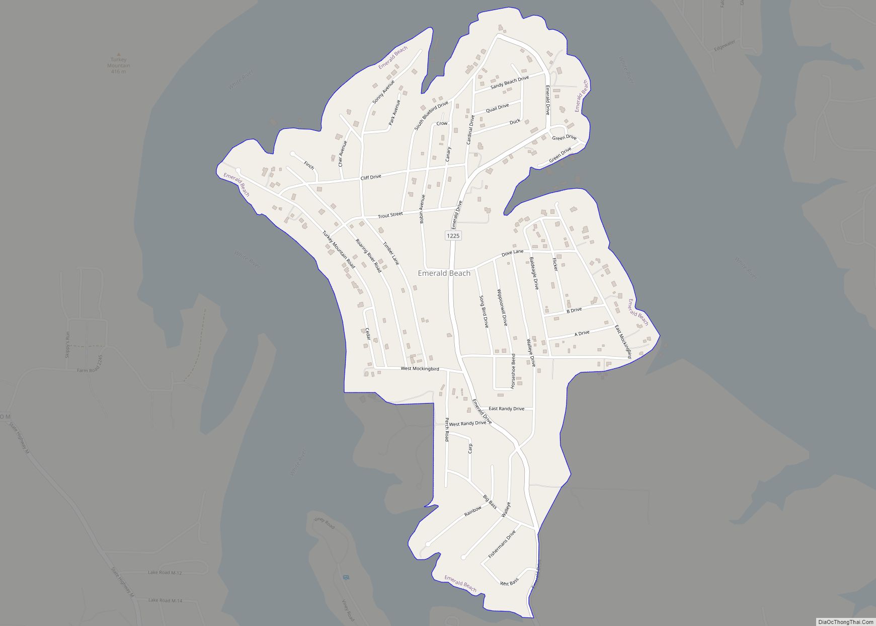
Online Interactive Map
Click on ![]() to view map in "full screen" mode.
to view map in "full screen" mode.
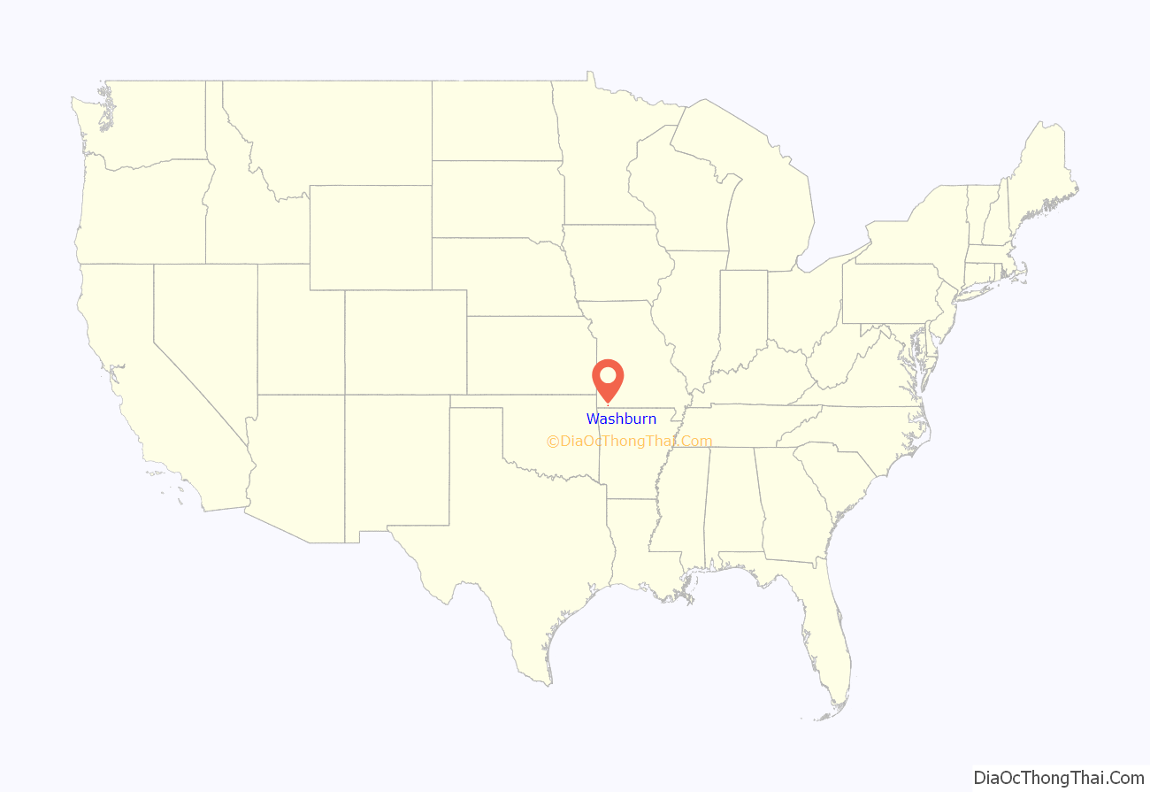
Washburn location map. Where is Washburn city?
History
Keetsville 1850?–1868
Located along the historic Trail of Tears and on the Old Wire Road, Keetsville traced its official settlement to Georgia native John Cureton (1795-1853), who had served as a judge in Washington County, Arkansas before settling on the Washburn Prairie about two miles north of current day Washburn in 1840 and then procured the location of the town. In 1853, Cureton died and ownership of the land transferred to the Englishman James T. Keet (1818-1863), who then laid out the town of Keetsville. The 1850s saw the first real establishment of the town with Keet establishing a store at the site. The growth of the town would be interrupted by the Civil War, as a February 1862 skirmish, a predecessor to the much larger Battle of Pea Ridge the next month in Pea Ridge, Arkansas, would result in the destruction of the fledgling town. Following the war, the town was rebuilt between 1867 and 1869 and in 1868 it was renamed Washburn in honor of an early pioneer to the area Samuel Washburn, who had lived in the area about ten years, before moving to Texas where he was killed in 1838.
O’Day 1880–1892
In the winter of 1879 and 1880, the Atlantic and Pacific Railway — at that time a franchise of the St. Louis and San Francisco Railway — built a railroad line between Pierce City and Seligman, Missouri. This line ran about a half mile west of what was then Keetsville, but soon to be renamed Washburn. Instead of incorporating the Keetsville or Washburn name into the railroad stop at this location, the stop and the community that blossomed next to it was instead named O’Day, after the Irish-born John O’Day (1843-1901), a Springfield-based attorney for the railroad. In the years that followed O’Day grew, adding two hotels, shops, a newspaper, dwellings and in either 1887 or 1888 a post office, while also remaining codependent of neighboring Washburn concerning educational, religious and social life.
Washburn 1868–Present
The community of Washburn, formerly Keetsville, was officially incorporated as a town on August 4, 1880, though it is unclear if O’Day ever incorporated as a separate town. The two communities continued as separate entities through the 1880s and into the 1890s, when in 1892 the O’Day post office was disestablished and the Washburn post office took over for a newly consolidated community, a consolidation that was likely prompted by the building of a public school between the two communities.
Commerce history
Following the establishment of the railroad and the growth of the former O’Day community, many businesses were established in what is now Washburn. Among these were the O’Day House Hotel, Felker & Johnson’s mercantile, the Pratt or Cunningham grocery store, J. M. Holton’s mercantile, Denbo’s grocery, the Brookshire & Chandler drug store, and W. B. Adcock’s drug store. Many of these businesses had previously been located in the old Keetsville site, but moved to take advantage of the railroad. The O’Day Globe newspaper was founded in 1887. That same year, Irishman Timothy Patrick Mooney (1833-1912) moved his store and warehouse there from Washburn. In 1887 Reece Brothers built a large store and Postmaster James Buchanan Hurst (1859-1934) a post-office building.
In the original Keetsville location, Postmaster John O. Burton (1798-1852), John Cureton and Garrett Moore (1804-1870) had all established businesses before the war. J. W. Elliott was a silversmith in the 1870s and Blennerhassett & Co. was a hardware store. By 1872, Washburn had 200 to 300 inhabitants, six general stores, three drug stores, a stove and tin store, three hotels, a boot shop, a jewelry store, and a school. In 1880, the same year as the establishment of O’Day, the population was 575. Among the businesses at that time were a nursery, multiple general stores and drug stores. Hotels operated by Mrs. A. Foster and T. P. Mooney. Flour and saw mills and multiple saloons were also in operation at this time. J. C. Thomas was the constable, William Keene Bayless (1850-1930) was the justice of the peace, William Rhoda Felker (1855-1929) was a real estate agent and J. W. Eggleston (1821-?), James Henry McDonald (1831-1917) and James T. Means (1824-1884) were physicians.
In addition to the O’Day Globe, several other newspapers were published in the Washburn area through the years, including Winger’s Journal in 1869, Professor White’s Gazette was published briefly and in 1911 The Washburn Review was printed for a short time.
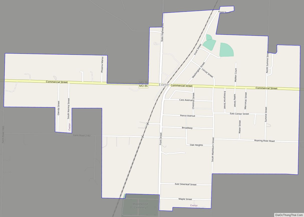
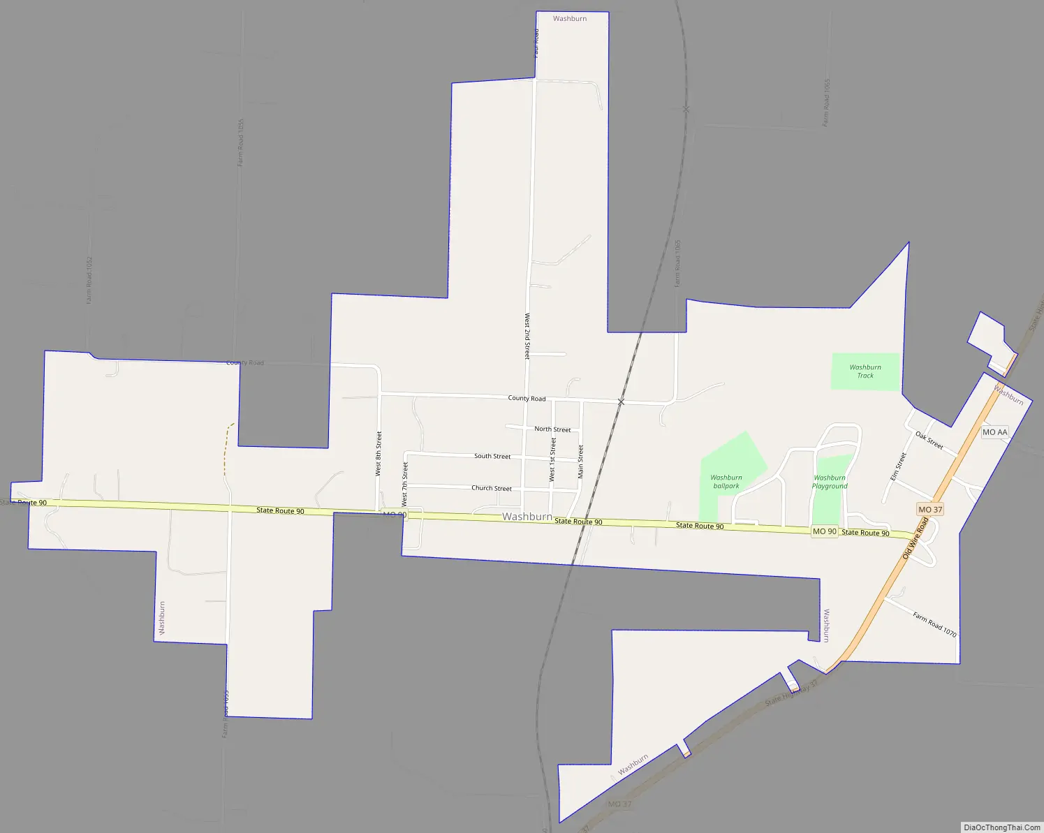
Washburn Road Map
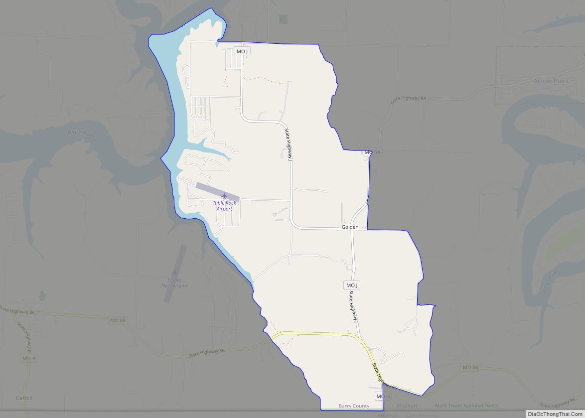
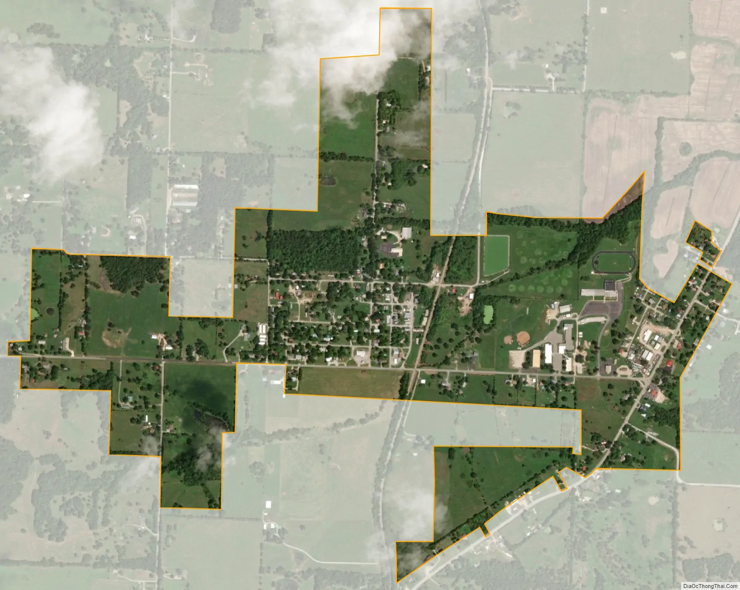
Washburn city Satellite Map
Geography
Washburn is located in southwest Barry County along Missouri Route 90 just west of Missouri Route 37. Seligman lies approximately 3.5 miles to the south and Cassville is about eight miles to the northeast along Route 37.
According to the United States Census Bureau, the city has a total area of 0.90 square miles (2.33 km), all land.
See also
Map of Missouri State and its subdivision:- Adair
- Andrew
- Atchison
- Audrain
- Barry
- Barton
- Bates
- Benton
- Bollinger
- Boone
- Buchanan
- Butler
- Caldwell
- Callaway
- Camden
- Cape Girardeau
- Carroll
- Carter
- Cass
- Cedar
- Chariton
- Christian
- Clark
- Clay
- Clinton
- Cole
- Cooper
- Crawford
- Dade
- Dallas
- Daviess
- De Kalb
- Dent
- Douglas
- Dunklin
- Franklin
- Gasconade
- Gentry
- Greene
- Grundy
- Harrison
- Henry
- Hickory
- Holt
- Howard
- Howell
- Iron
- Jackson
- Jasper
- Jefferson
- Johnson
- Knox
- Laclede
- Lafayette
- Lawrence
- Lewis
- Lincoln
- Linn
- Livingston
- Macon
- Madison
- Maries
- Marion
- McDonald
- Mercer
- Miller
- Mississippi
- Moniteau
- Monroe
- Montgomery
- Morgan
- New Madrid
- Newton
- Nodaway
- Oregon
- Osage
- Ozark
- Pemiscot
- Perry
- Pettis
- Phelps
- Pike
- Platte
- Polk
- Pulaski
- Putnam
- Ralls
- Randolph
- Ray
- Reynolds
- Ripley
- Saint Charles
- Saint Clair
- Saint Francois
- Saint Louis
- Sainte Genevieve
- Saline
- Schuyler
- Scotland
- Scott
- Shannon
- Shelby
- Stoddard
- Stone
- Sullivan
- Taney
- Texas
- Vernon
- Warren
- Washington
- Wayne
- Webster
- Worth
- Wright
- Alabama
- Alaska
- Arizona
- Arkansas
- California
- Colorado
- Connecticut
- Delaware
- District of Columbia
- Florida
- Georgia
- Hawaii
- Idaho
- Illinois
- Indiana
- Iowa
- Kansas
- Kentucky
- Louisiana
- Maine
- Maryland
- Massachusetts
- Michigan
- Minnesota
- Mississippi
- Missouri
- Montana
- Nebraska
- Nevada
- New Hampshire
- New Jersey
- New Mexico
- New York
- North Carolina
- North Dakota
- Ohio
- Oklahoma
- Oregon
- Pennsylvania
- Rhode Island
- South Carolina
- South Dakota
- Tennessee
- Texas
- Utah
- Vermont
- Virginia
- Washington
- West Virginia
- Wisconsin
- Wyoming