Apex (/ˈeɪ.pɛks/) is a town in Wake County, North Carolina, United States. At its southern border, Apex encompasses the community of Friendship. In 1994, the downtown area was designated a historic district, and the Apex train depot, built in 1867, is designated a Wake County landmark. The depot location marks the highest point on the old Chatham Railroad, hence the town’s name. The town motto is “The Peak of Good Living”.
In the late 19th century, a small community developed around the railroad station. The forests were cleared for farmland, much of which was dedicated to tobacco farming. Since Apex was near the state capital, it became a trading center. The railroad shipped products such as lumber, tar, and tobacco. The town was officially incorporated in 1873. By 1900, the town had a population of 349. As of the 2020 census, its population was 58,780.
The population boom occurred primarily in the late 1990s. The Research Triangle Park, established in the 1960s, created strong demand for technology workers. This also drove population growth. Apex is currently the 18th-largest municipality in North Carolina.
In 2015, Apex was named the number-one place to live in America, according to Money magazine.
| Name: | Apex town |
|---|---|
| LSAD Code: | 43 |
| LSAD Description: | town (suffix) |
| State: | North Carolina |
| County: | Wake County |
| Incorporated: | 1873 |
| Elevation: | 499 ft (152 m) |
| Land Area: | 25.06 sq mi (64.90 km²) |
| Water Area: | 0.09 sq mi (0.23 km²) |
| Population Density: | 2,345.66/sq mi (905.67/km²) |
| ZIP code: | 27502, 27523, 27539 |
| FIPS code: | 3701520 |
| GNISfeature ID: | 1018834 |
| Website: | www.apexnc.org |
Online Interactive Map
Click on ![]() to view map in "full screen" mode.
to view map in "full screen" mode.
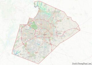
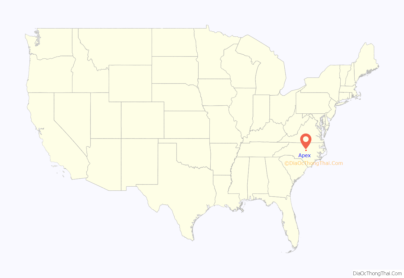
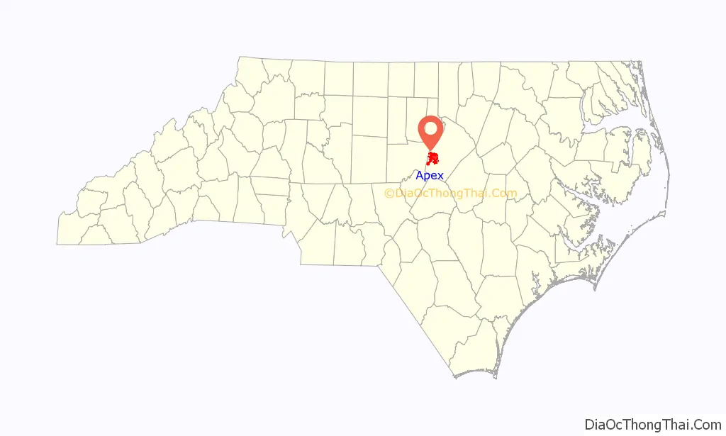
Apex location map. Where is Apex town?
History
The town of Apex was incorporated in 1873. According to the North Carolina History Project, the town was named for its location as the highest point on a portion of the Chatham Railroad, which ultimately extends between Richmond, Virginia, and Jacksonville, Florida. According to a 1905 USGS publication on place names, the name refers to the highest point between Raleigh and the Deep River.
Apex grew slowly through the succeeding decades, despite several devastating fires, including a 12 June 1911 conflagration that destroyed most of the downtown business district. The town center was rebuilt and stands to this day, now one of the most intact railroad towns in the state. At the heart of town stands the Apex Union Depot, originally a passenger station for the Seaboard Air Line Railroad and later home to the locally supported Apex Community Library. The depot now houses the Apex Chamber of Commerce.
Apex suffered mild setbacks during the Great Depression era, but growth began again in earnest in the 1950s. The town’s proximity to RTP spurred additional residential development, yet the town managed to preserve its small-town character. During the 1990s, the town’s population quadrupled to over 20,000, placing new demands upon Apex’s infrastructure.
Apex has continued to grow in recent years. A sizable shopping center was built at the intersection of Highway 55 and US 64, and several new neighborhoods have been built as the town grows toward the west.
In October 2006, a chemical explosion and fire in a waste-processing facility prompted one of the largest evacuations in U.S. history. There were few serious injuries, and residents were soon able to return home. In 2009, a federal court approved a $7.85M settlement to compensate Apex residents affected by the disaster. Each household received $750. Businesses received $2,200.
In addition to the Apex Union Depot, the Apex City Hall, Apex Historic District, Calvin Wray Lawrence House, and Utley-Council House are listed on the National Register of Historic Places.
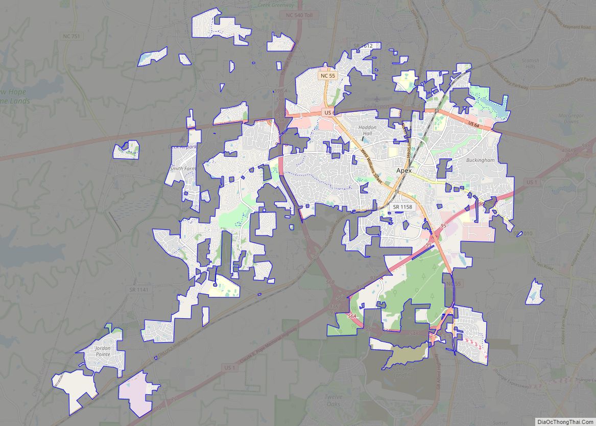
Apex Road Map

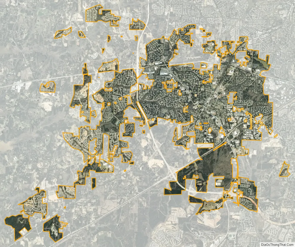
Apex city Satellite Map
Geography
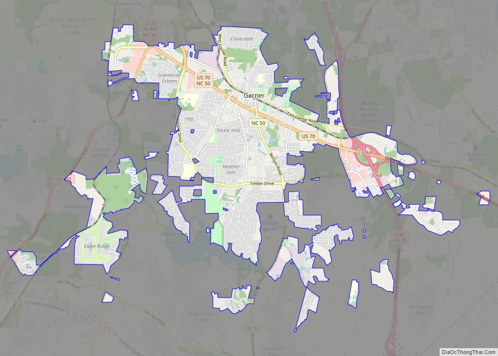
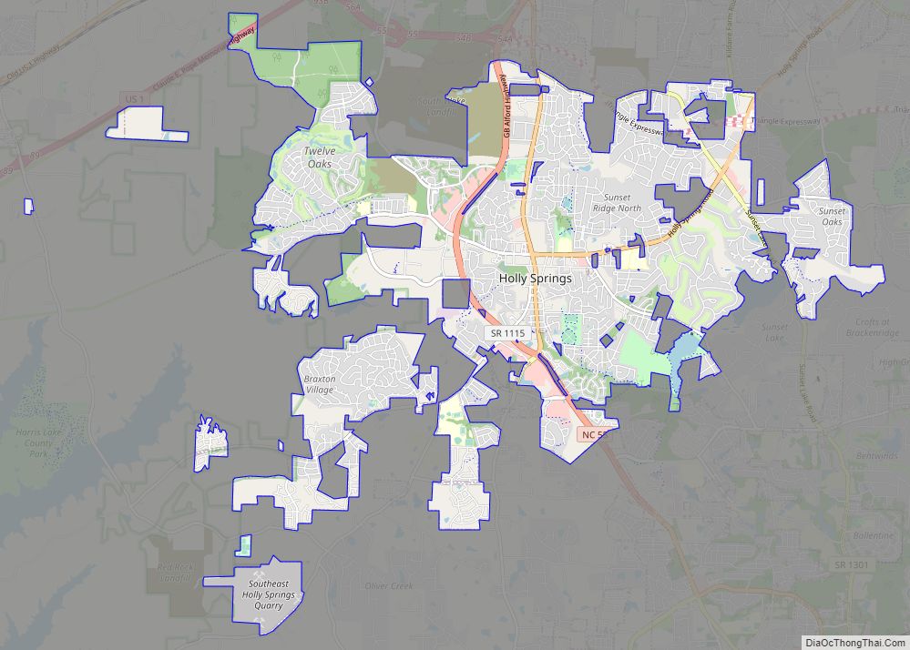
The town is a suburb of both Raleigh and Research Triangle Park (RTP). It is situated to the southwest of Raleigh with direct highway access via US 1. Apex is south of RTP with direct highway access via NC 540. Apex crests the watersheds of both the Neuse and Cape Fear Rivers. Neighboring towns include Cary to the north and northeast, Holly Springs to the south, and Raleigh to the east and northeast.
Climate
See also
Map of North Carolina State and its subdivision:- Alamance
- Alexander
- Alleghany
- Anson
- Ashe
- Avery
- Beaufort
- Bertie
- Bladen
- Brunswick
- Buncombe
- Burke
- Cabarrus
- Caldwell
- Camden
- Carteret
- Caswell
- Catawba
- Chatham
- Cherokee
- Chowan
- Clay
- Cleveland
- Columbus
- Craven
- Cumberland
- Currituck
- Dare
- Davidson
- Davie
- Duplin
- Durham
- Edgecombe
- Forsyth
- Franklin
- Gaston
- Gates
- Graham
- Granville
- Greene
- Guilford
- Halifax
- Harnett
- Haywood
- Henderson
- Hertford
- Hoke
- Hyde
- Iredell
- Jackson
- Johnston
- Jones
- Lee
- Lenoir
- Lincoln
- Macon
- Madison
- Martin
- McDowell
- Mecklenburg
- Mitchell
- Montgomery
- Moore
- Nash
- New Hanover
- Northampton
- Onslow
- Orange
- Pamlico
- Pasquotank
- Pender
- Perquimans
- Person
- Pitt
- Polk
- Randolph
- Richmond
- Robeson
- Rockingham
- Rowan
- Rutherford
- Sampson
- Scotland
- Stanly
- Stokes
- Surry
- Swain
- Transylvania
- Tyrrell
- Union
- Vance
- Wake
- Warren
- Washington
- Watauga
- Wayne
- Wilkes
- Wilson
- Yadkin
- Yancey
- Alabama
- Alaska
- Arizona
- Arkansas
- California
- Colorado
- Connecticut
- Delaware
- District of Columbia
- Florida
- Georgia
- Hawaii
- Idaho
- Illinois
- Indiana
- Iowa
- Kansas
- Kentucky
- Louisiana
- Maine
- Maryland
- Massachusetts
- Michigan
- Minnesota
- Mississippi
- Missouri
- Montana
- Nebraska
- Nevada
- New Hampshire
- New Jersey
- New Mexico
- New York
- North Carolina
- North Dakota
- Ohio
- Oklahoma
- Oregon
- Pennsylvania
- Rhode Island
- South Carolina
- South Dakota
- Tennessee
- Texas
- Utah
- Vermont
- Virginia
- Washington
- West Virginia
- Wisconsin
- Wyoming