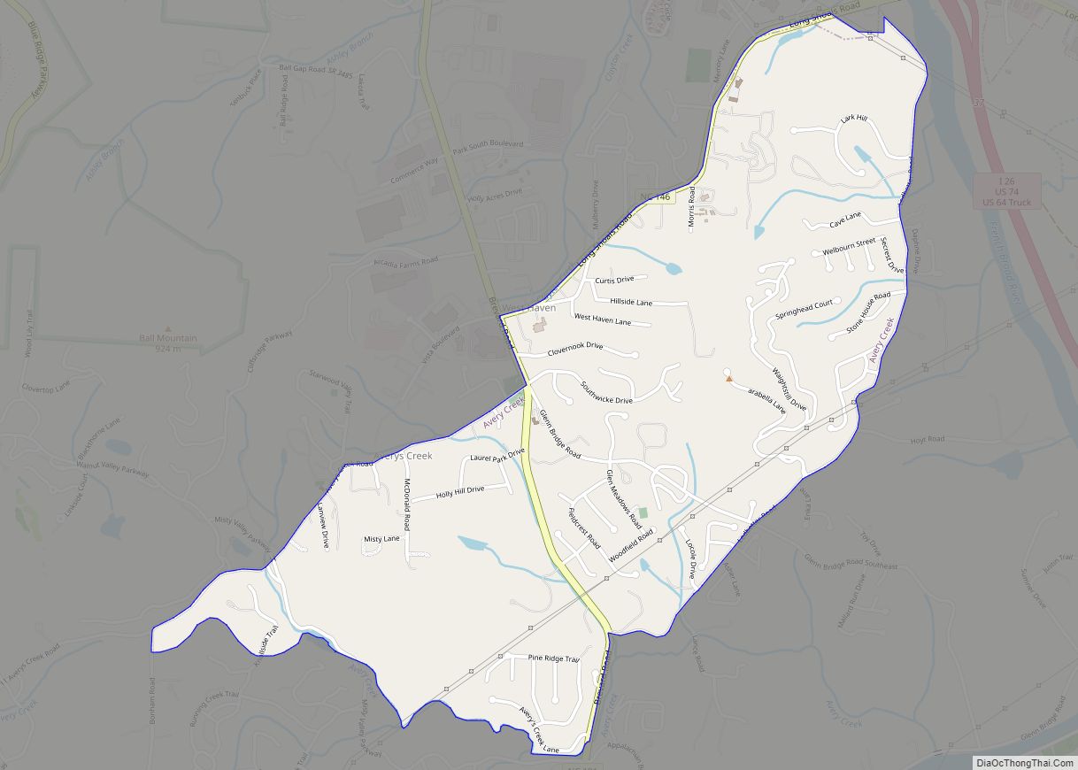
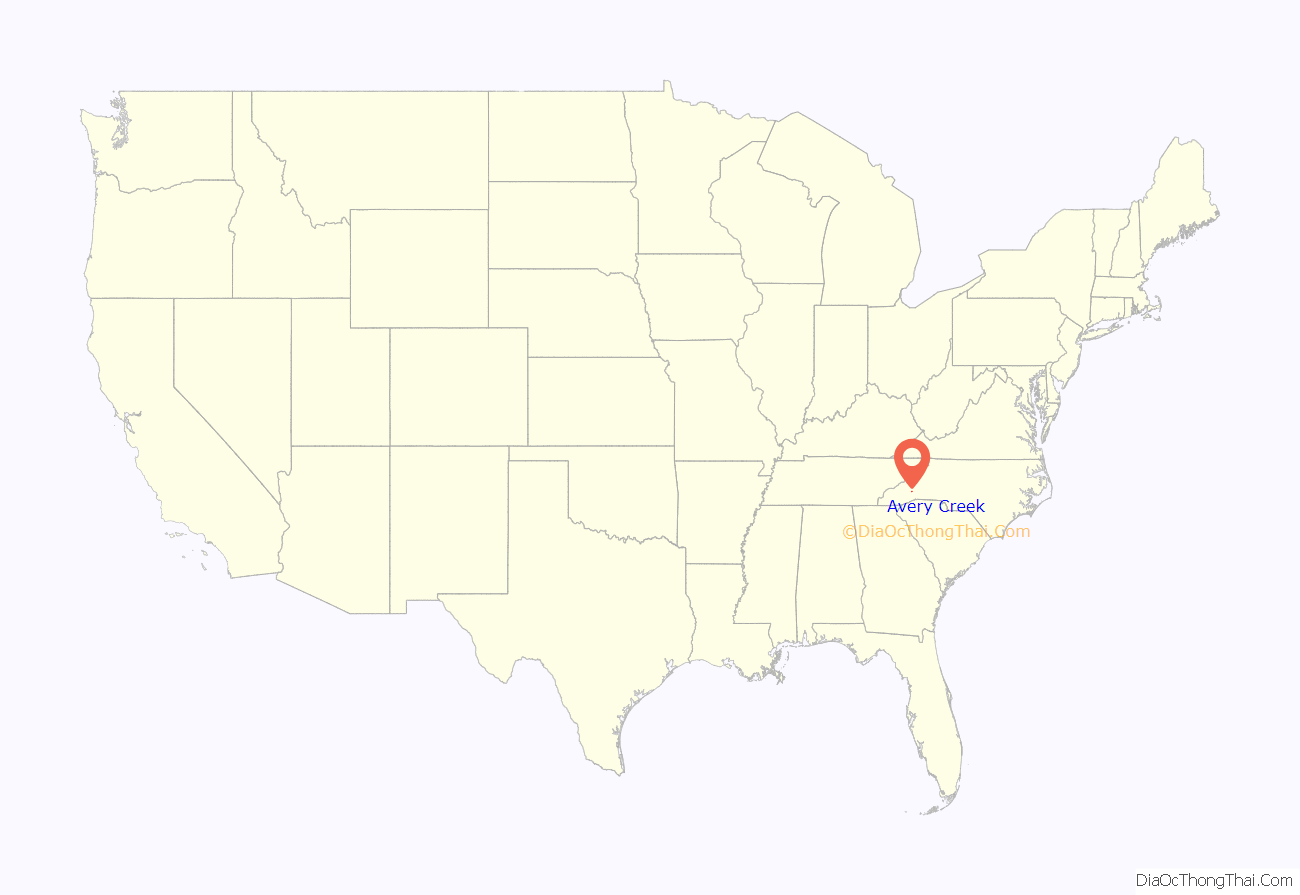
Avery Creek is a census-designated place (CDP) in Buncombe County, North Carolina, United States. The population was 1,950 at the 2010 census. It is part of the Asheville Metropolitan Statistical Area.
| Name: | Avery Creek CDP |
|---|---|
| LSAD Code: | 57 |
| LSAD Description: | CDP (suffix) |
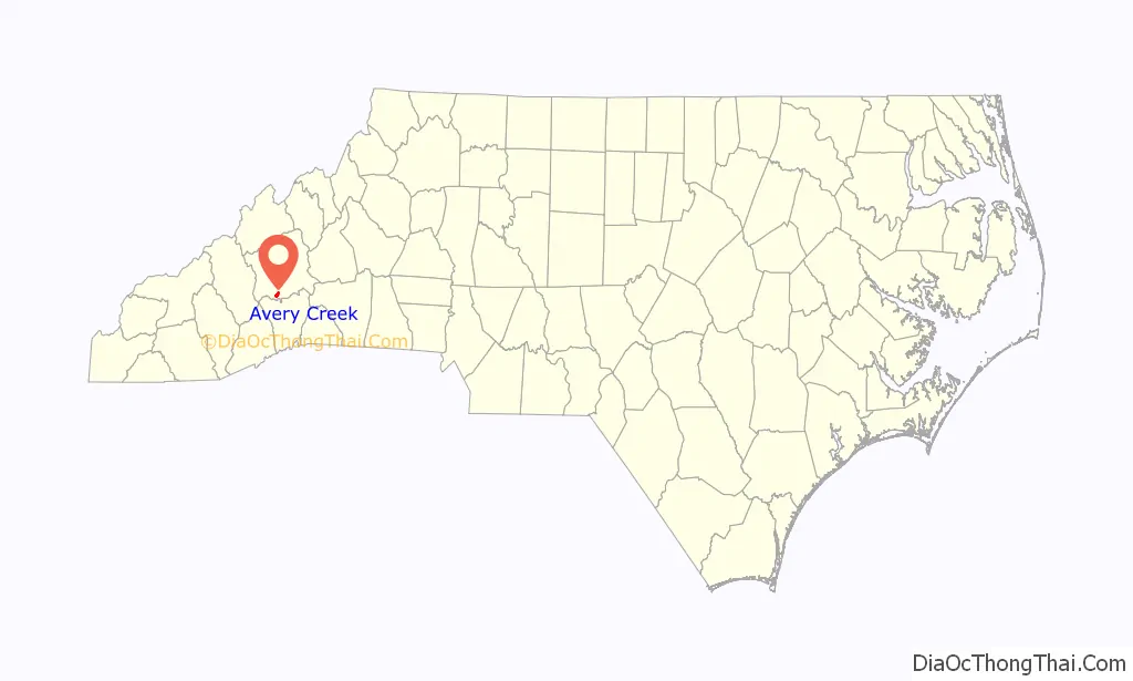
| State: | North Carolina |
| County: | Buncombe County |
| Elevation: | 2,198 ft (670 m) |
| Total Area: | 1.73 sq mi (4.49 km²) |
| Land Area: | 1.73 sq mi (4.49 km²) |
| Water Area: | 0.00 sq mi (0.00 km²) |
| Total Population: | 2,241 |
| Population Density: | 1,293.88/sq mi (499.66/km²) |
| ZIP code: | 28704 |
| Area code: | 828 |
| FIPS code: | 3702760 |
| GNISfeature ID: | 1018880 |
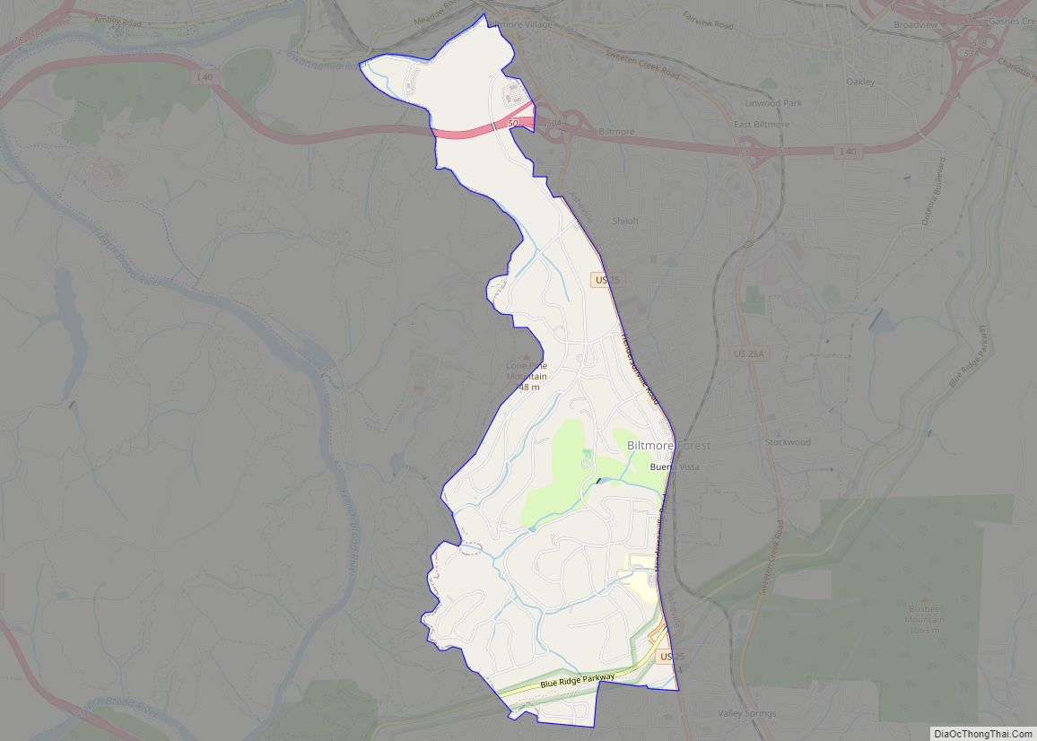
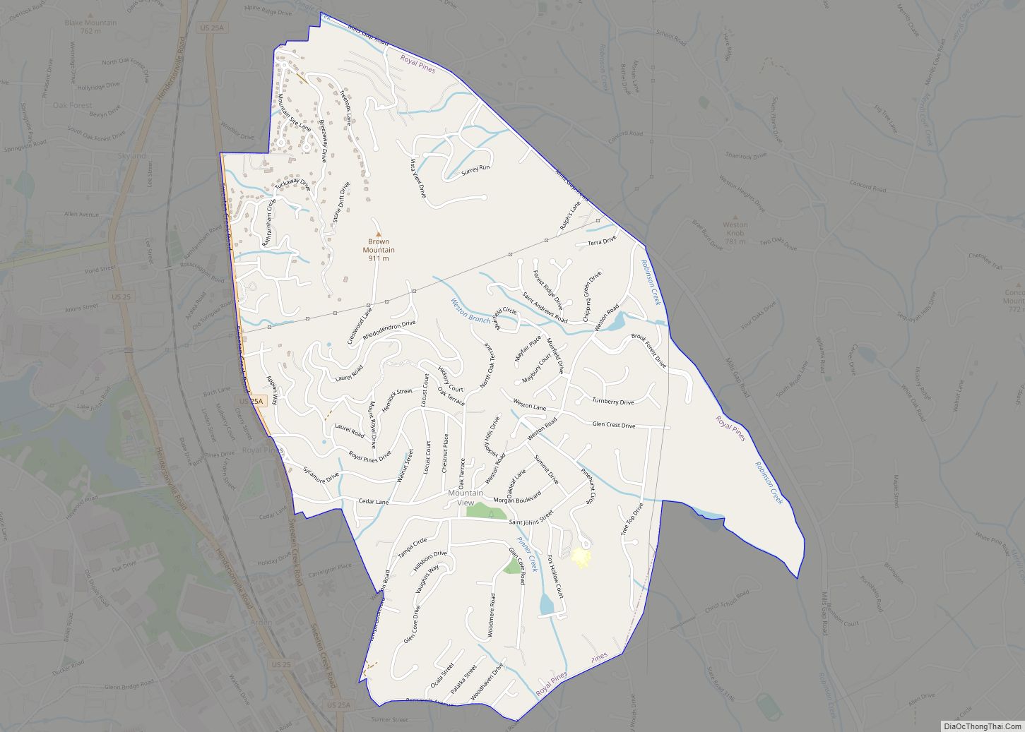
Online Interactive Map
Click on ![]() to view map in "full screen" mode.
to view map in "full screen" mode.
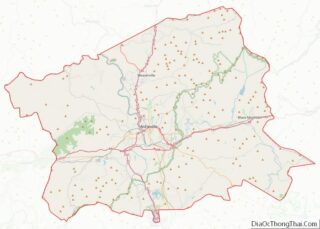
Avery Creek location map. Where is Avery Creek CDP?
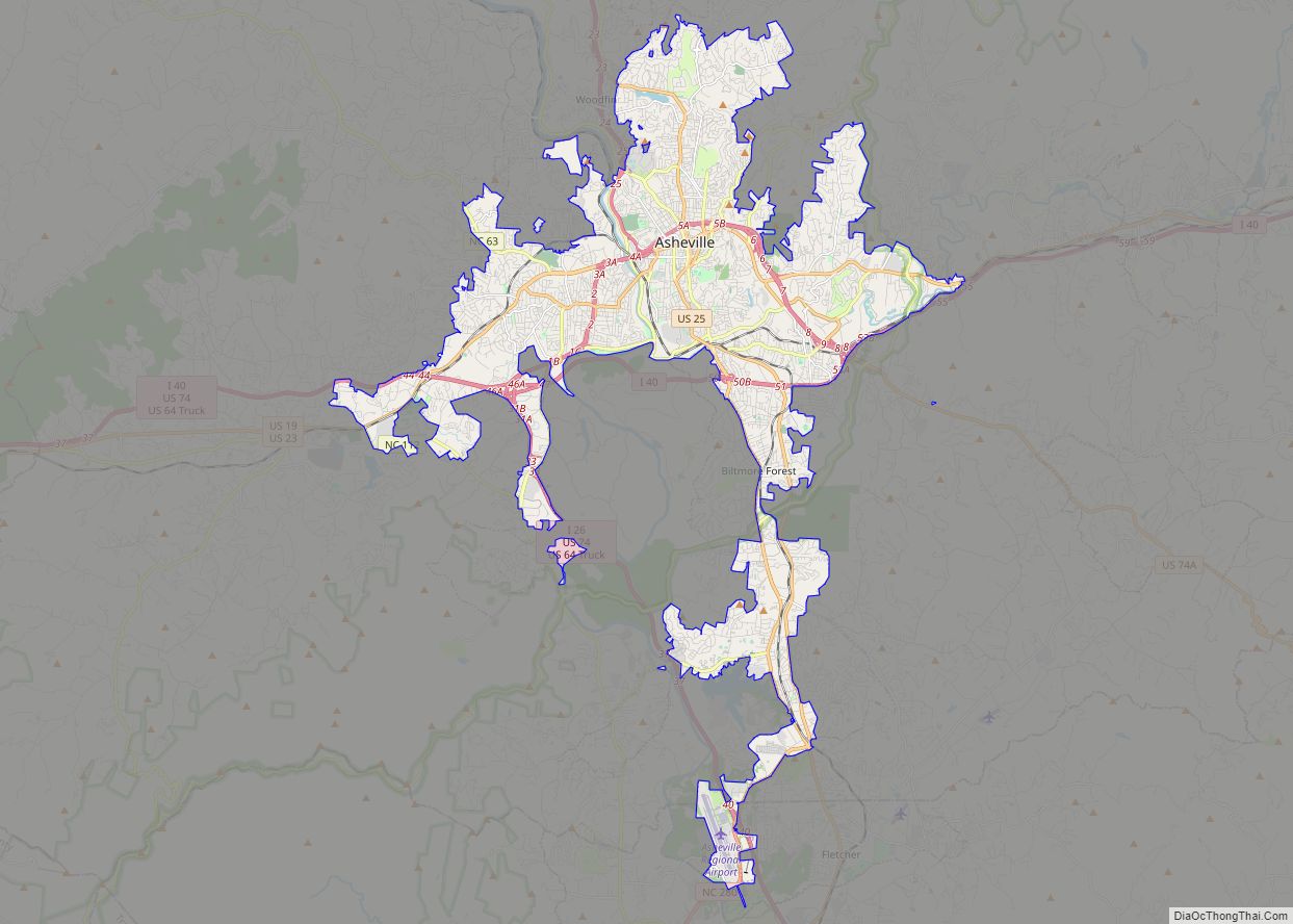
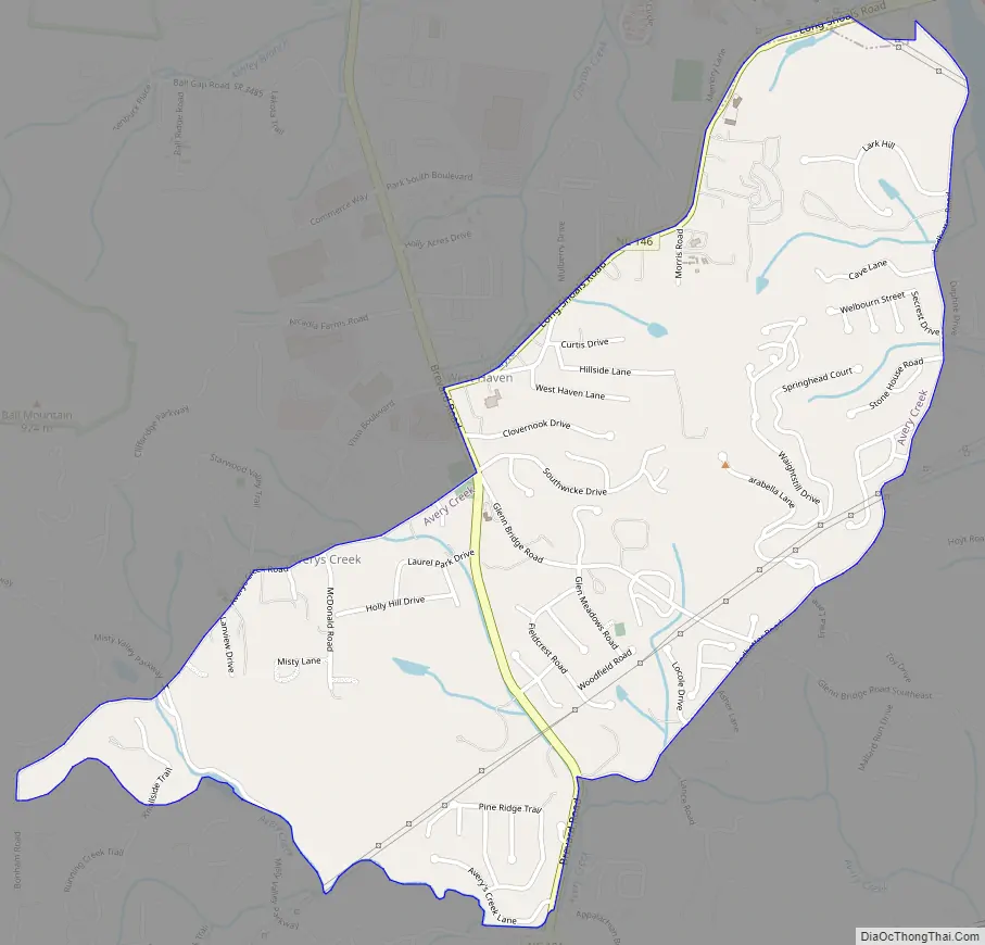
Avery Creek Road Map
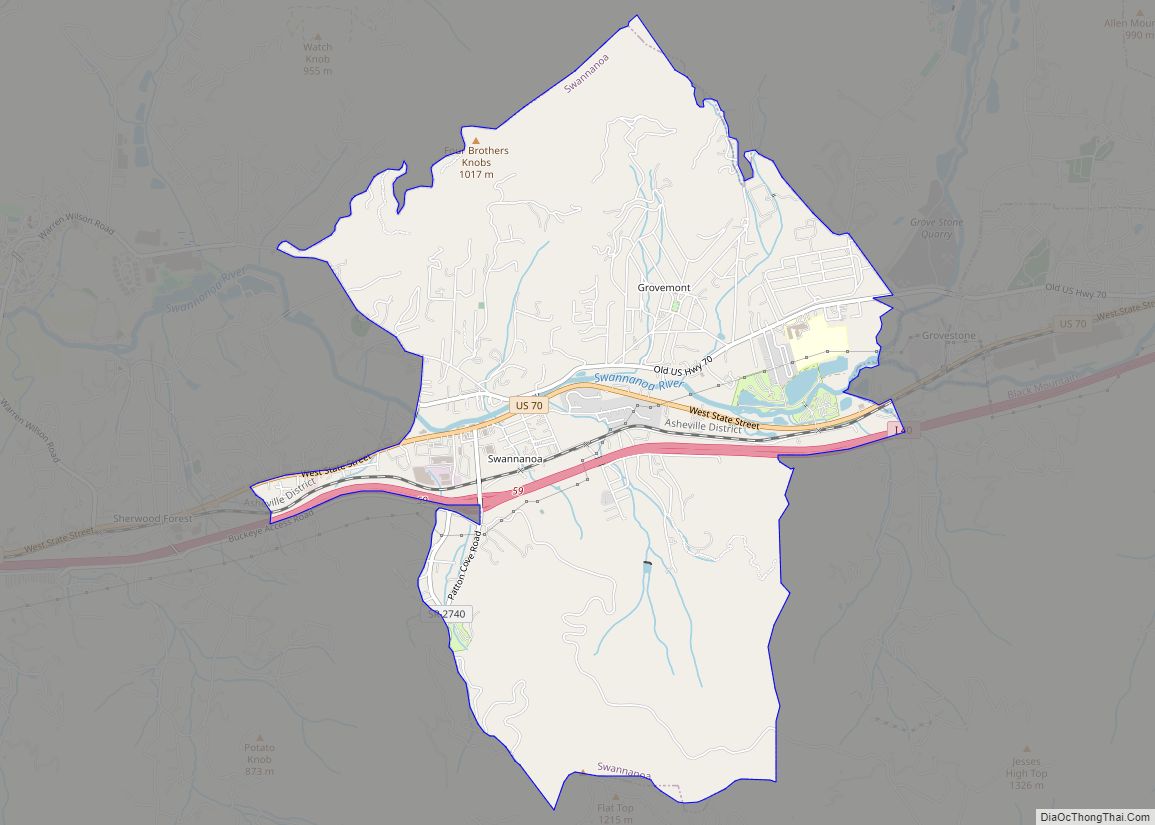
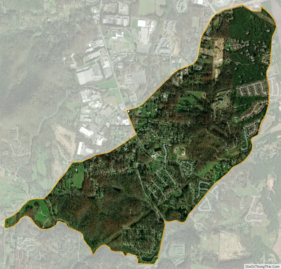
Avery Creek city Satellite Map
Geography
Avery Creek is located in southern Buncombe County at 35°27′37″N 82°34′44″W / 35.46028°N 82.57889°W / 35.46028; -82.57889 (35.460353, -82.578828). The main road through the community is North Carolina Highway 191 (Brevard Road), leading north 11 miles (18 km) to downtown Asheville and south 13 miles (21 km) to Hendersonville. North Carolina Highway 146 (Long Shoals Road) heads east from Avery Creek, leading 1.6 miles (2.6 km) to Interstate 26 and 3.5 miles (5.6 km) to the Skyland neighborhood of Asheville.
According to the United States Census Bureau, the Avery Creek CDP has a total area of 1.7 square miles (4.5 km), all land.
See also
Map of North Carolina State and its subdivision:- Alamance
- Alexander
- Alleghany
- Anson
- Ashe
- Avery
- Beaufort
- Bertie
- Bladen
- Brunswick
- Buncombe
- Burke
- Cabarrus
- Caldwell
- Camden
- Carteret
- Caswell
- Catawba
- Chatham
- Cherokee
- Chowan
- Clay
- Cleveland
- Columbus
- Craven
- Cumberland
- Currituck
- Dare
- Davidson
- Davie
- Duplin
- Durham
- Edgecombe
- Forsyth
- Franklin
- Gaston
- Gates
- Graham
- Granville
- Greene
- Guilford
- Halifax
- Harnett
- Haywood
- Henderson
- Hertford
- Hoke
- Hyde
- Iredell
- Jackson
- Johnston
- Jones
- Lee
- Lenoir
- Lincoln
- Macon
- Madison
- Martin
- McDowell
- Mecklenburg
- Mitchell
- Montgomery
- Moore
- Nash
- New Hanover
- Northampton
- Onslow
- Orange
- Pamlico
- Pasquotank
- Pender
- Perquimans
- Person
- Pitt
- Polk
- Randolph
- Richmond
- Robeson
- Rockingham
- Rowan
- Rutherford
- Sampson
- Scotland
- Stanly
- Stokes
- Surry
- Swain
- Transylvania
- Tyrrell
- Union
- Vance
- Wake
- Warren
- Washington
- Watauga
- Wayne
- Wilkes
- Wilson
- Yadkin
- Yancey
- Alabama
- Alaska
- Arizona
- Arkansas
- California
- Colorado
- Connecticut
- Delaware
- District of Columbia
- Florida
- Georgia
- Hawaii
- Idaho
- Illinois
- Indiana
- Iowa
- Kansas
- Kentucky
- Louisiana
- Maine
- Maryland
- Massachusetts
- Michigan
- Minnesota
- Mississippi
- Missouri
- Montana
- Nebraska
- Nevada
- New Hampshire
- New Jersey
- New Mexico
- New York
- North Carolina
- North Dakota
- Ohio
- Oklahoma
- Oregon
- Pennsylvania
- Rhode Island
- South Carolina
- South Dakota
- Tennessee
- Texas
- Utah
- Vermont
- Virginia
- Washington
- West Virginia
- Wisconsin
- Wyoming