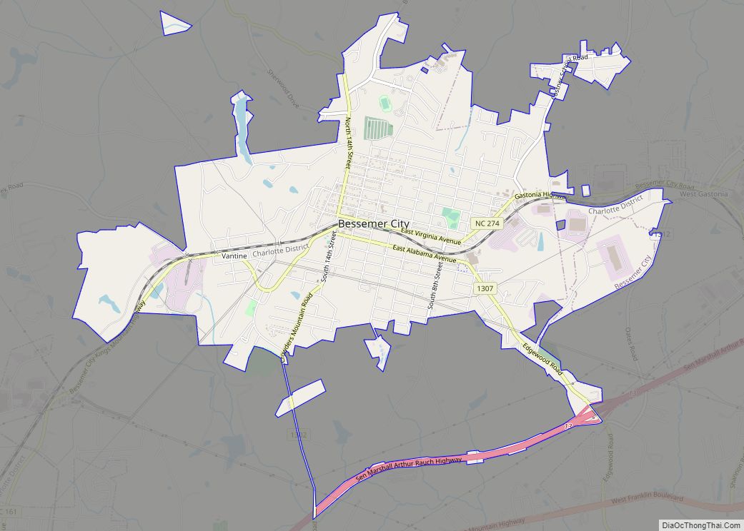
Bessemer City is a small suburban city in Gaston County, North Carolina, United States. The population is 5,340 (as of the 2010 census). The city is approximately 6 miles (10 km) northwest of Gastonia and 25 miles (40 km) west of Charlotte. It was settled in 1756 and founded in 1893.
| Name: | Bessemer City city |
|---|---|
| LSAD Code: | 25 |
| LSAD Description: | city (suffix) |
| State: | North Carolina |
| County: | Gaston County |
| Incorporated: | March 6, 1893 |
| Elevation: | 978 ft (278 m) |
| Total Area: | 5.26 sq mi (13.63 km²) |
| Land Area: | 5.22 sq mi (13.53 km²) |
| Water Area: | 0.04 sq mi (0.10 km²) |
| Total Population: | 5,428 |
| Population Density: | 1,038.85/sq mi (401.08/km²) |
| ZIP code: | 28016 |
| Area code: | 704 |
| FIPS code: | 3705220 |
| GNISfeature ID: | 0981053 |
| Website: | www.bessemercity.com |
Online Interactive Map
Click on ![]() to view map in "full screen" mode.
to view map in "full screen" mode.
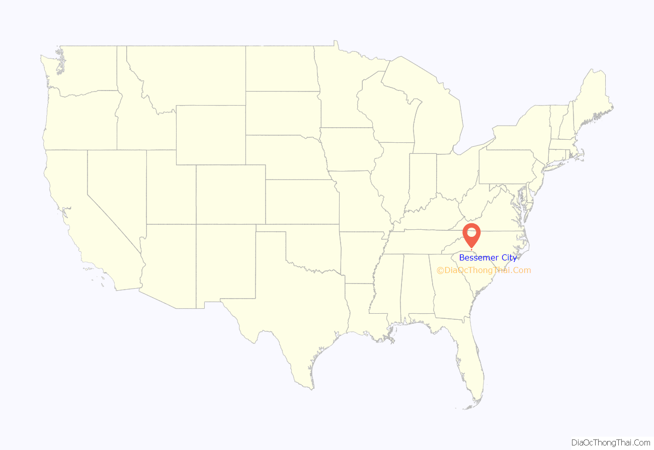
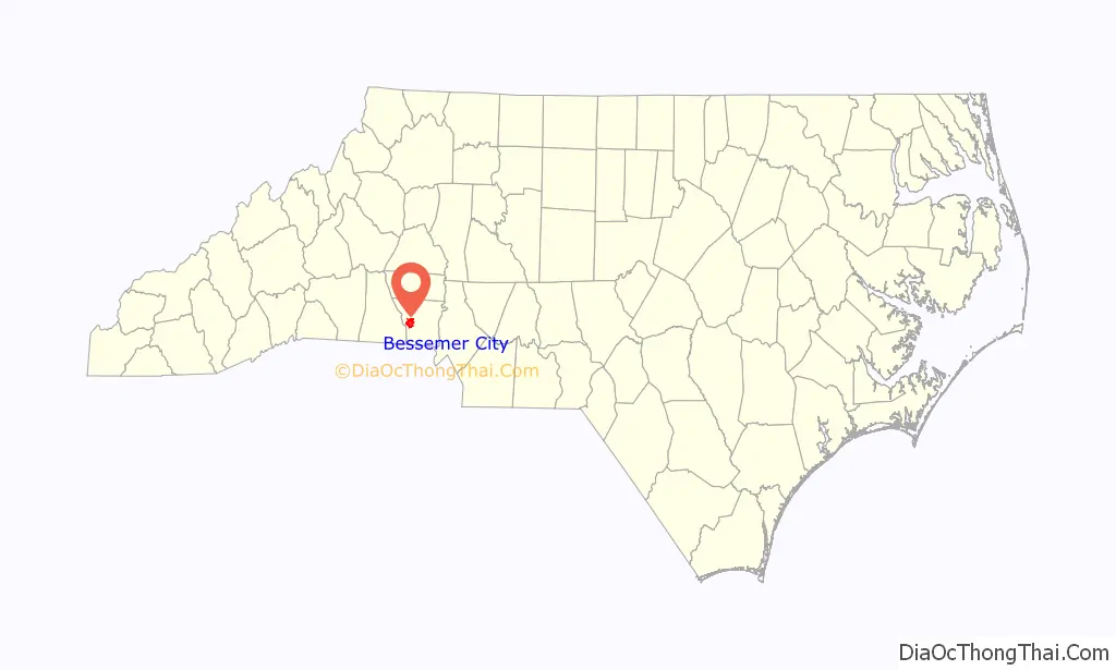
Bessemer City location map. Where is Bessemer City city?
History
Bessemer City is named for Sir Henry Bessemer who created the Bessemer process for smelting iron. Bessemer City was founded on land purchased from the Ormand family, near the Sloan-Washington-Ormand Iron Furnace, but the Bessemer Process made Bessemer City’s early iron smelting industry obsolete.
The earliest European settlement in the Bessemer City area dates to 1754, when King George II of Great Britain granted about 2,000 acres (8.1 km) to James Ormand (1716–1771), who established the Ormand Mining Company to extract iron ore. By 1786, a furnace had been built on the land, called the Washington Furnace after the family of Colonel John C. Washington. The Old Ormand Furnace was used to process most of the iron ore that was mined in the area and today is one of the oldest remaining furnaces in the country. Despite a local tale that cannonballs were made during the Revolutionary War, there is no proof the furnace was built that early. The furnace was sold and later bought back by the family of Zenas Stanhope Ormand (b. July 12, 1802 – d. July 28, 1878). The furnace made iron implements and other products for local and statewide use and was in operation until the mid-19th century (when the Bessemer process made small furnace operations uneconomical). The “Old Furnace” is still owned by the Ormand Family Foundation, and the site is used as a gathering place for the Ormand, Ormond Family Reunion, one of the oldest family reunions in America, held annually since 1897.
During the late 1840s, corn and cotton were the region’s two main crops. Whiskey production was also profitable. Gaston County had more licensed whiskey distilleries than any county in North Carolina.
In 1871, the Atlanta & Charlotte Division of the Richmond & Danville Railroad Company built through Gaston County. Laying the track through Whetstone Mountain, located west of modern-day Bessemer City, was considered a great engineering accomplishment. John Wooten built a general store next to the railroad on the site of present-day Bessemer City and called the store and depot “Wooten’s Station”.
In 1891, John Askew Smith, previously of Reidsville, North Carolina, moved with his wife Fannie and brother-in-law, John A. Pinchback, to Gaston County. Smith purchased 1,700 acres (6.9 km) and wanted to establish a town to the east of Whetstone Mountain. By 1893, Smith and other residents petitioned the North Carolina legislature to incorporate the town. On March 6, 1893, Bessemer City was officially chartered. Smith hired W.R. Richardson, an engineer from Guilford County, to lay out the town. In 1896 Smith built the first luxurious home in the area he named “Long View” where he lived with his wife for nearly 20 years. This house still stands in pristine condition, and the Mitchell family has taken up its stewardship. Smith’s “Highacre” house, built in the early 20th century, is now occupied by the Eury family.
The population of Bessemer City at the time of its charter was very small, with only a few families, but by 1900 it had grown to between 500 and 600 people. In 1895, Stonewall Jackson Durham and John M. Odell incorporated Southern Cotton Mills and as their first venture completed and opened the failed Smith/Pinchback Mill. A series of textile mills opened by Smith and Pinchback; Durham and Odell; Frank, Robert and Max Goldberg; as well as the Ragan Spinning Company, gave Bessemer City its industrial foundation.
In 1929 Textile mill striker and songwriter Ella Mae Wiggins, 29, the mother of nine, is killed when local vigilantes, thugs and a sheriff’s deputy force the pickup truck in which she is riding off the road and begin shooting.
A native of Sevierville, Tennessee, Wiggins by 1926 settled in Gaston County, N.C., living in an African-American neighborhood outside Bessemer City known as Stumptown. Her neighbors would look after her children as she worked as a spinner at American Mill No. 2. According to an article published online by the North Carolina Museum of History, “she worked twelve-hour days, six days a week, earning about nine dollars a week.”She became a bookkeeper for the union, which was Communist run, and traveled to Washington, D.C., to testify about labor practices in the South. She also told her story: “I’m the mother of nine. Four died with the whooping cough, all at once. I was working nights, I asked the super to put me on days, so’s I could tend ‘em when they had their bad spells. But he wouldn’t. I don’t know why. … So I had to quit, and then there wasn’t no money for medicine, and they just died.” She also sang her ballads, including her best-known song, “A Mill Mother’s Lament,” which has been recorded by Pete Seeger, among others. Wiggins believed in organizing African-Americans along with whites, and in a close vote, her local NTWU branch voted to admit African-Americans to the union.
On September 14, 1929, she and other union members drove to a union meeting in Gastonia. They were met by an armed mob, and turned back. They had driven about five miles toward home when they were stopped by a car; armed men jumped out and began shooting. Wiggins was shot in the chest and killed. Her five children were sent to live in orphanages. Five Loray Mill employees were charged in Wiggins’s murder but were acquitted after less than 30 minutes of deliberation in a trial in Charlotte in March 1930 despite the fact that the crime was committed in daylight and more than 50 people witnessed it. She was buried in the Bessemer City Cemetery on North 12th St. Hers is one of the biggest markers there, after being expanded by the AFL–CIO in 1979 to include a marker inscribed, “She died carrying the torch of social justice.”
An historic Supreme Court case on sexism originated in Bessemer City in 1985. Anderson v. Bessemer City was a case involving a woman who sued the city after applying for a position and then not being chosen based solely on the fact that she was a woman. The Supreme Court found that discrimination was present in the decision. The factors that Phyllis Anderson showed the court to demonstrate that the hiring committee was sexists were 1) Ms. Anderson was better qualified, 2) Testimony from one of the committee members that he thought the position would be “real hard” for a woman and that he wouldn’t want his wife to perform such duties, 3) Ms. Anderson alone among the applicants was asked whether she realized that the job would involve night work and travel and whether her husband approved of her applying for the job, and 4) The reasons offered by the all-male hiring committee as to why they hired a less qualified man were pretextual.
The Bessemer City Downtown Historic District and Central School are listed on the National Register of Historic Places.
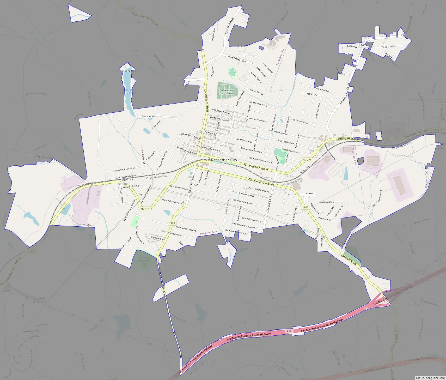
Bessemer City Road Map
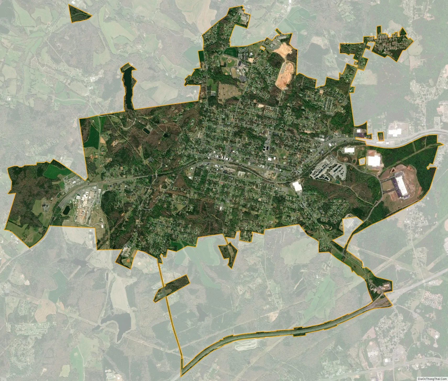
Bessemer City city Satellite Map
Geography
Bessemer City is located at 35°17′3″N 81°16′58″W / 35.28417°N 81.28278°W / 35.28417; -81.28278 (35.284262, -81.282853).
According to the United States Census Bureau, the city has a total area of 4.8 square miles (12.5 km), of which 4.8 square miles (12.4 km) is land and 0.039 square miles (0.1 km), or 0.78%, is water. The elevation at city hall is 904 feet (276 m) above sea level.
See also
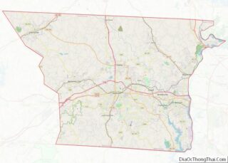
Map of North Carolina State and its subdivision:- Alamance
- Alexander
- Alleghany
- Anson
- Ashe
- Avery
- Beaufort
- Bertie
- Bladen
- Brunswick
- Buncombe
- Burke
- Cabarrus
- Caldwell
- Camden
- Carteret
- Caswell
- Catawba
- Chatham
- Cherokee
- Chowan
- Clay
- Cleveland
- Columbus
- Craven
- Cumberland
- Currituck
- Dare
- Davidson
- Davie
- Duplin
- Durham
- Edgecombe
- Forsyth
- Franklin
- Gaston
- Gates
- Graham
- Granville
- Greene
- Guilford
- Halifax
- Harnett
- Haywood
- Henderson
- Hertford
- Hoke
- Hyde
- Iredell
- Jackson
- Johnston
- Jones
- Lee
- Lenoir
- Lincoln
- Macon
- Madison
- Martin
- McDowell
- Mecklenburg
- Mitchell
- Montgomery
- Moore
- Nash
- New Hanover
- Northampton
- Onslow
- Orange
- Pamlico
- Pasquotank
- Pender
- Perquimans
- Person
- Pitt
- Polk
- Randolph
- Richmond
- Robeson
- Rockingham
- Rowan
- Rutherford
- Sampson
- Scotland
- Stanly
- Stokes
- Surry
- Swain
- Transylvania
- Tyrrell
- Union
- Vance
- Wake
- Warren
- Washington
- Watauga
- Wayne
- Wilkes
- Wilson
- Yadkin
- Yancey
- Alabama
- Alaska
- Arizona
- Arkansas
- California
- Colorado
- Connecticut
- Delaware
- District of Columbia
- Florida
- Georgia
- Hawaii
- Idaho
- Illinois
- Indiana
- Iowa
- Kansas
- Kentucky
- Louisiana
- Maine
- Maryland
- Massachusetts
- Michigan
- Minnesota
- Mississippi
- Missouri
- Montana
- Nebraska
- Nevada
- New Hampshire
- New Jersey
- New Mexico
- New York
- North Carolina
- North Dakota
- Ohio
- Oklahoma
- Oregon
- Pennsylvania
- Rhode Island
- South Carolina
- South Dakota
- Tennessee
- Texas
- Utah
- Vermont
- Virginia
- Washington
- West Virginia
- Wisconsin
- Wyoming