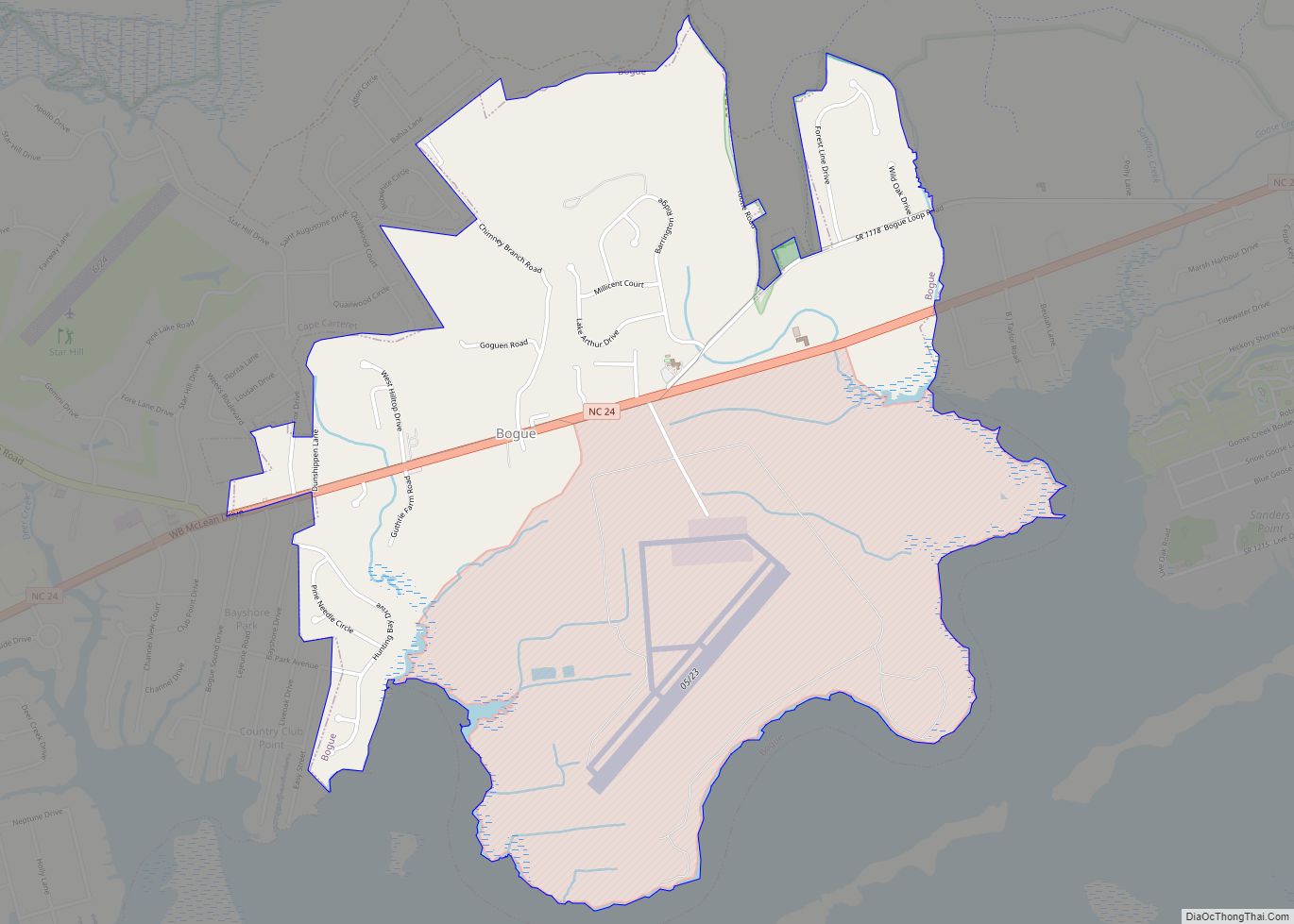
Bogue is a town in Carteret County, North Carolina, United States. The population was 684 in 2010.
| Name: | Bogue town |
|---|---|
| LSAD Code: | 43 |
| LSAD Description: | town (suffix) |
| State: | North Carolina |
| County: | Carteret County |
| Elevation: | 23 ft (7 m) |
| Total Area: | 2.77 sq mi (7.17 km²) |
| Land Area: | 2.75 sq mi (7.11 km²) |
| Water Area: | 0.02 sq mi (0.05 km²) |
| Total Population: | 695 |
| Population Density: | 253.10/sq mi (97.71/km²) |
| ZIP code: | 28570 |
| FIPS code: | 3706740 |
| GNISfeature ID: | 1019242 |
Online Interactive Map
Click on ![]() to view map in "full screen" mode.
to view map in "full screen" mode.
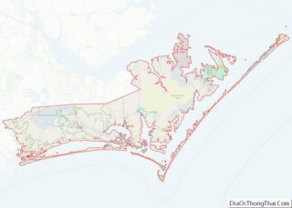
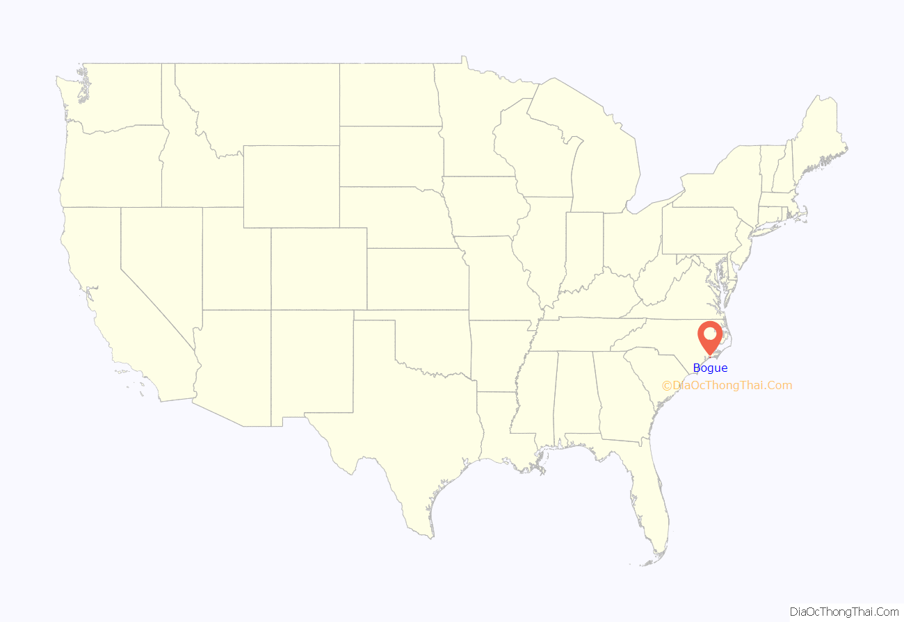
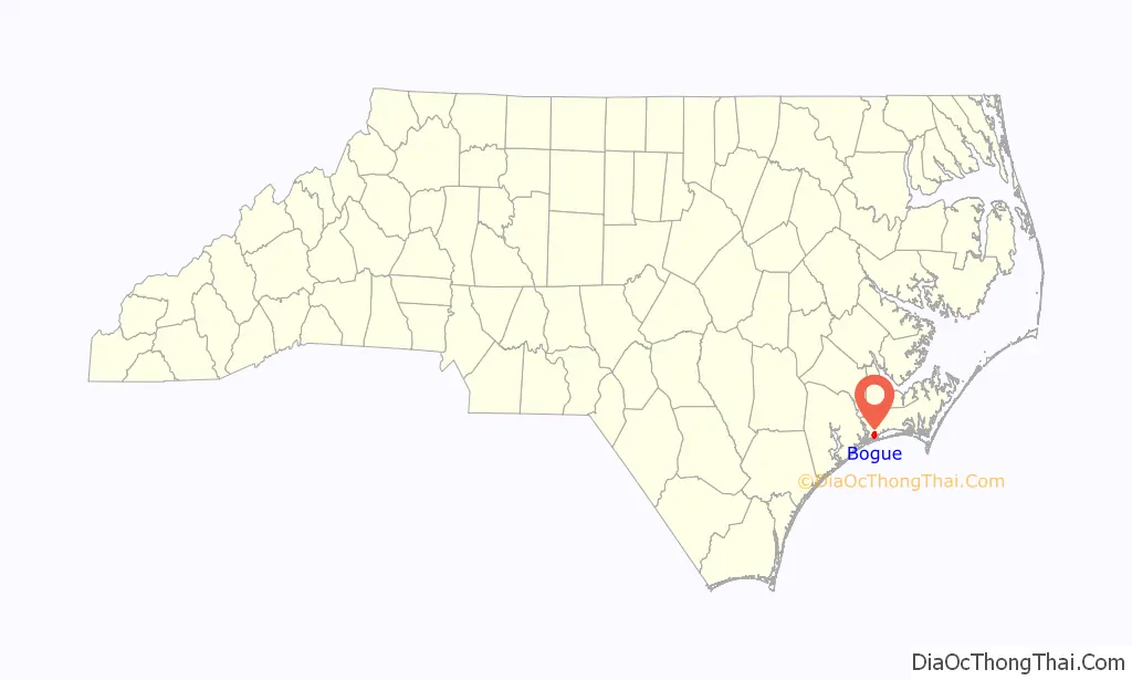
Bogue location map. Where is Bogue town?
History
June 1899 was marked by two murders in the tiny town. On June 9, Elijah Weeks, a white merchant, was found dead in his store. The next day Lewis Patrick, a young black man, was detained because he had a piece of pork in his possession. He was arrested and taken to the county jail in Beaufort. On the night of June 14, 1899, he was taken from jail by a mob and out to a roadside, where he was shot to death, with his body left by the road for others to find. This was the only known lynching in Carteret County.
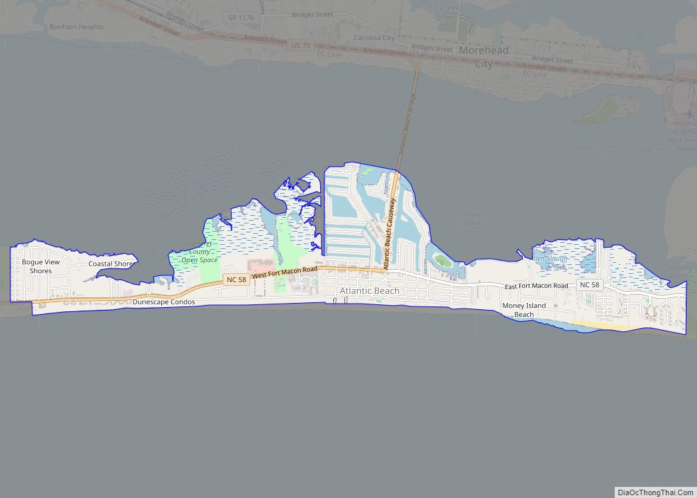
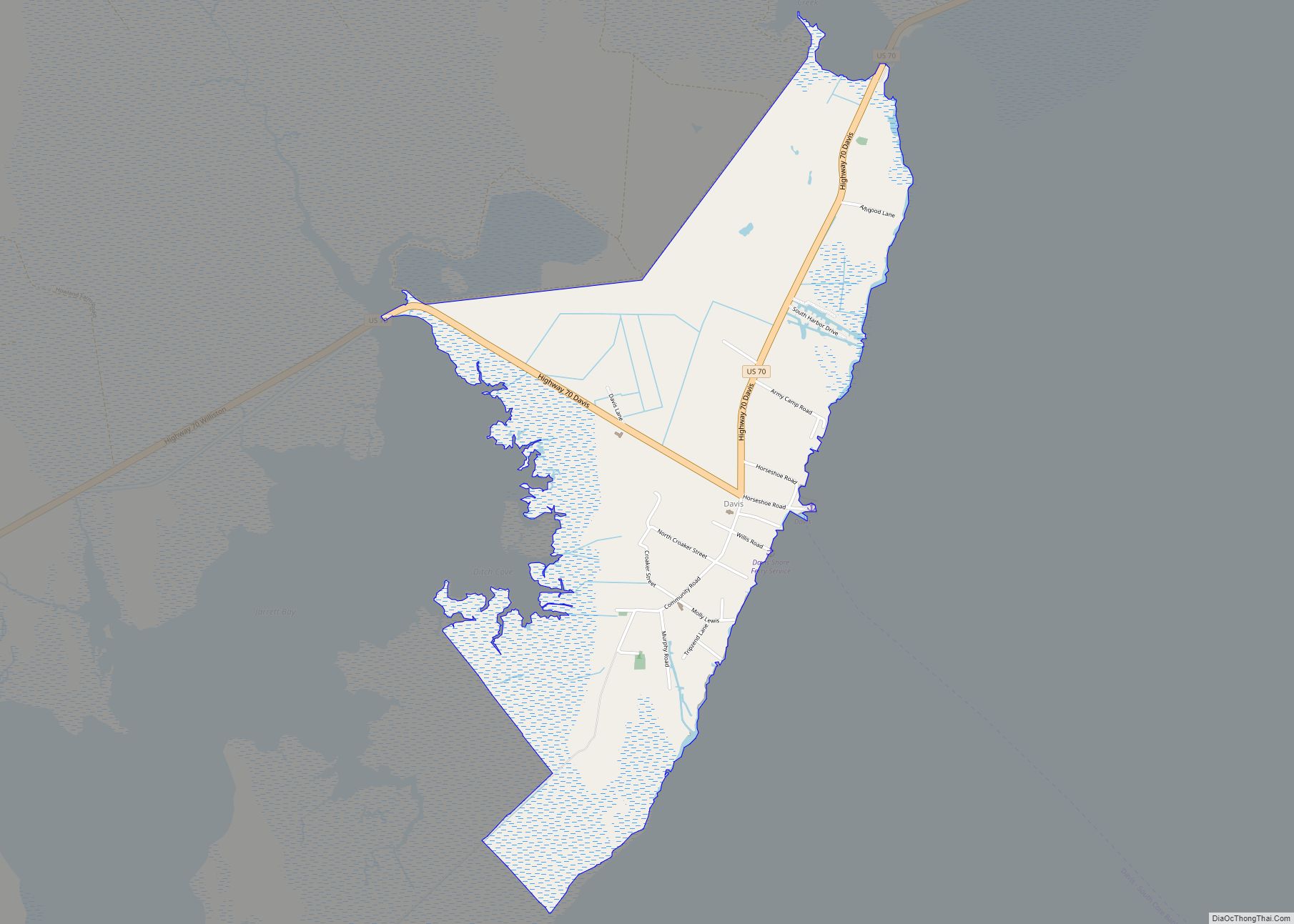
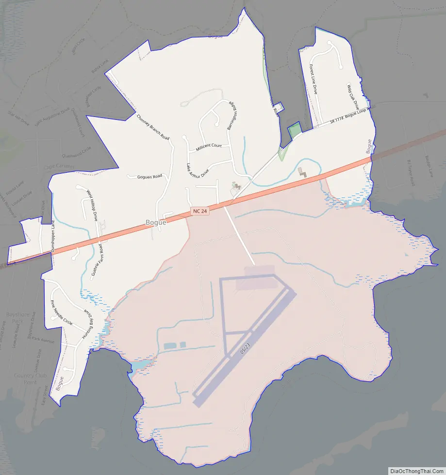
Bogue Road Map
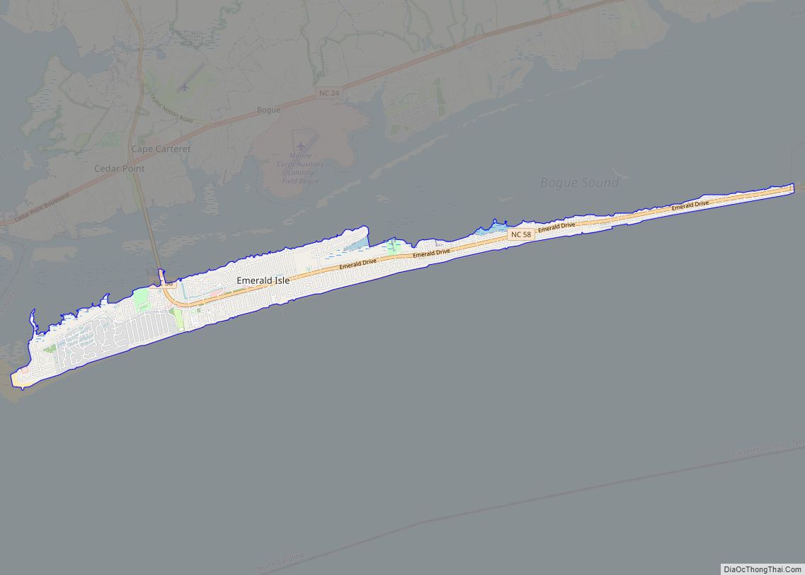
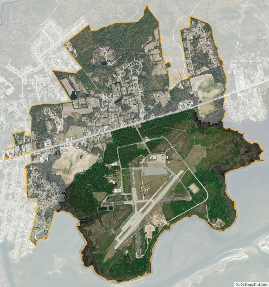
Bogue city Satellite Map
Geography
Bogue is located in western Carteret County at 34°41′57″N 77°2′12″W / 34.69917°N 77.03667°W / 34.69917; -77.03667 (34.699107, -77.036768). It is bordered to the south by Bogue Sound and to the west by the town of Cape Carteret. The southern part of the town houses Marine Corps Auxiliary Landing Field Bogue. The town is bordered to the north by Croatan National Forest.
North Carolina Highway 24 passes through Bogue, leading west 24 miles (39 km) to Jacksonville and east 18 miles (29 km) to Morehead City.
According to the United States Census Bureau, Bogue has a total area of 3.0 square miles (7.8 km), of which 2.8 square miles (7.2 km) is land and 0.23 square miles (0.6 km), or 7.95%, is water.
See also
Map of North Carolina State and its subdivision:- Alamance
- Alexander
- Alleghany
- Anson
- Ashe
- Avery
- Beaufort
- Bertie
- Bladen
- Brunswick
- Buncombe
- Burke
- Cabarrus
- Caldwell
- Camden
- Carteret
- Caswell
- Catawba
- Chatham
- Cherokee
- Chowan
- Clay
- Cleveland
- Columbus
- Craven
- Cumberland
- Currituck
- Dare
- Davidson
- Davie
- Duplin
- Durham
- Edgecombe
- Forsyth
- Franklin
- Gaston
- Gates
- Graham
- Granville
- Greene
- Guilford
- Halifax
- Harnett
- Haywood
- Henderson
- Hertford
- Hoke
- Hyde
- Iredell
- Jackson
- Johnston
- Jones
- Lee
- Lenoir
- Lincoln
- Macon
- Madison
- Martin
- McDowell
- Mecklenburg
- Mitchell
- Montgomery
- Moore
- Nash
- New Hanover
- Northampton
- Onslow
- Orange
- Pamlico
- Pasquotank
- Pender
- Perquimans
- Person
- Pitt
- Polk
- Randolph
- Richmond
- Robeson
- Rockingham
- Rowan
- Rutherford
- Sampson
- Scotland
- Stanly
- Stokes
- Surry
- Swain
- Transylvania
- Tyrrell
- Union
- Vance
- Wake
- Warren
- Washington
- Watauga
- Wayne
- Wilkes
- Wilson
- Yadkin
- Yancey
- Alabama
- Alaska
- Arizona
- Arkansas
- California
- Colorado
- Connecticut
- Delaware
- District of Columbia
- Florida
- Georgia
- Hawaii
- Idaho
- Illinois
- Indiana
- Iowa
- Kansas
- Kentucky
- Louisiana
- Maine
- Maryland
- Massachusetts
- Michigan
- Minnesota
- Mississippi
- Missouri
- Montana
- Nebraska
- Nevada
- New Hampshire
- New Jersey
- New Mexico
- New York
- North Carolina
- North Dakota
- Ohio
- Oklahoma
- Oregon
- Pennsylvania
- Rhode Island
- South Carolina
- South Dakota
- Tennessee
- Texas
- Utah
- Vermont
- Virginia
- Washington
- West Virginia
- Wisconsin
- Wyoming