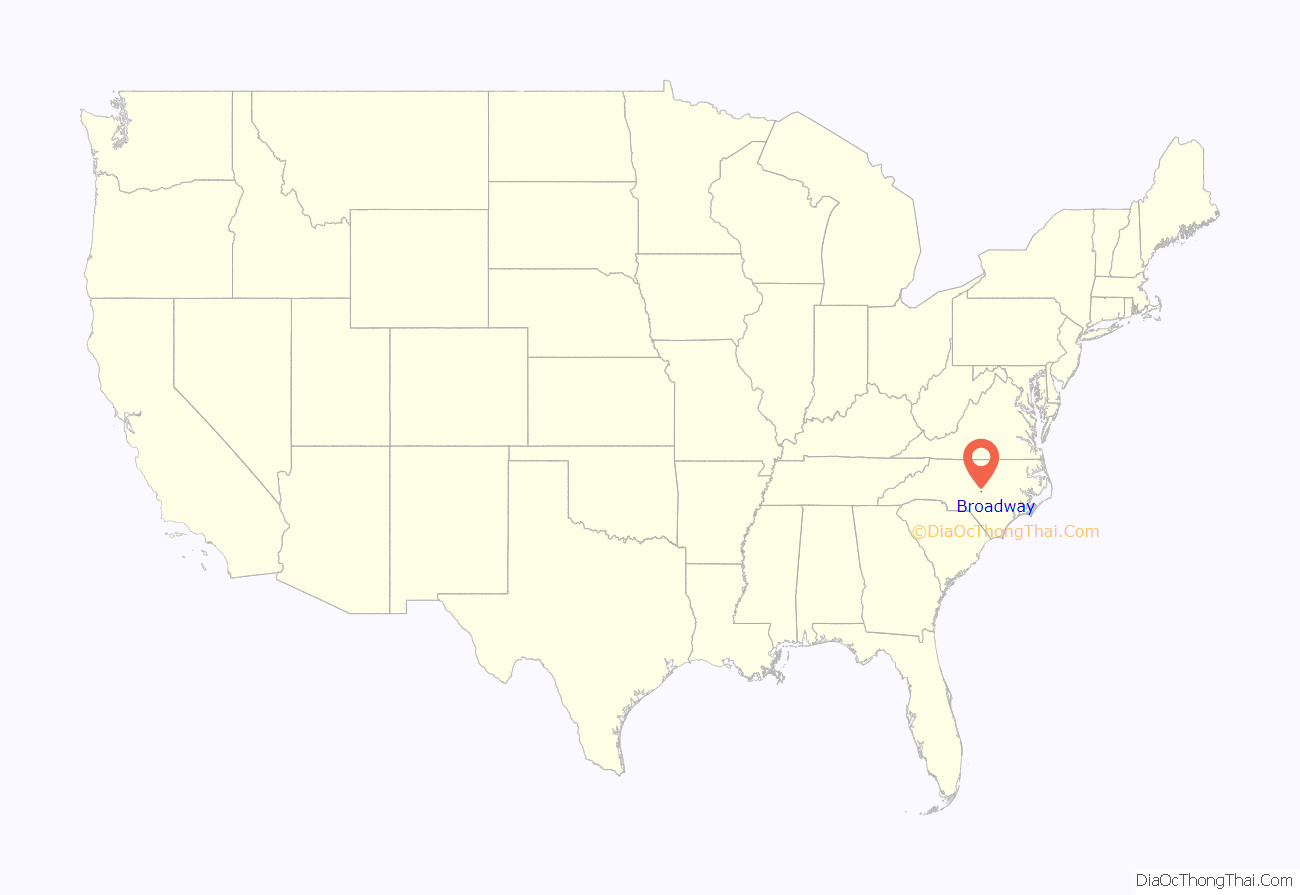
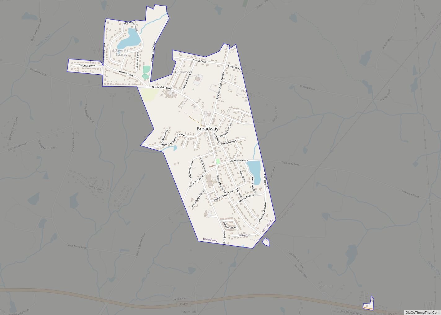
Broadway is a town in Lee County, North Carolina, United States. According to the 2010 Census, the population was 1,229.
| Name: | Broadway town |
|---|---|
| LSAD Code: | 43 |
| LSAD Description: | town (suffix) |
| State: | North Carolina |
| County: | Harnett County, Lee County |
| Elevation: | 492 ft (150 m) |
| Total Area: | 1.33 sq mi (3.44 km²) |
| Land Area: | 1.29 sq mi (3.35 km²) |
| Water Area: | 0.03 sq mi (0.09 km²) |
| Total Population: | 1,267 |
| Population Density: | 979.13/sq mi (377.99/km²) |
| ZIP code: | 27505 |
| Area code: | 919 |
| FIPS code: | 3708080 |
| GNISfeature ID: | 0981957 |
| Website: | broadwaync.com |
Online Interactive Map
Click on ![]() to view map in "full screen" mode.
to view map in "full screen" mode.
Broadway location map. Where is Broadway town?
History
According to the book, Broadway North Carolina: 1870-1970, Broadway was settled in 1870 and incorporated as a town in 1907. The name “Broadway” comes from a broad level opening in the region’s vast pine forest where the town was established. Among the early settlers of the area which is now Broadway were Hugh Matthews, Grisham Thomas, Tilmon Thomas, M.M. Watson, and Captain J.O.A. Kelly. African American families that settled in the area included the Buchanans, Camerons, McLeans, Minters, and Womacks.
Broadway celebrated the centennial of its settlement in October 1970. During this event men and women had a street dance and dressed as they did in the 1870s. Broadway celebrated the centennial of its incorporation as well as the centennial of Lee County in 2007. Broadway recently celebrated “Broadway Our Way” in April 2009. A few years into the 21st century, many citizens of Broadway town proper paid a visit to New York to see a Broadway show, and in return Broadway, New York, came to Broadway, North Carolina. A show was put on at Broadway Elementary School with Sandy Duncan, actress of television and stage leading the way.
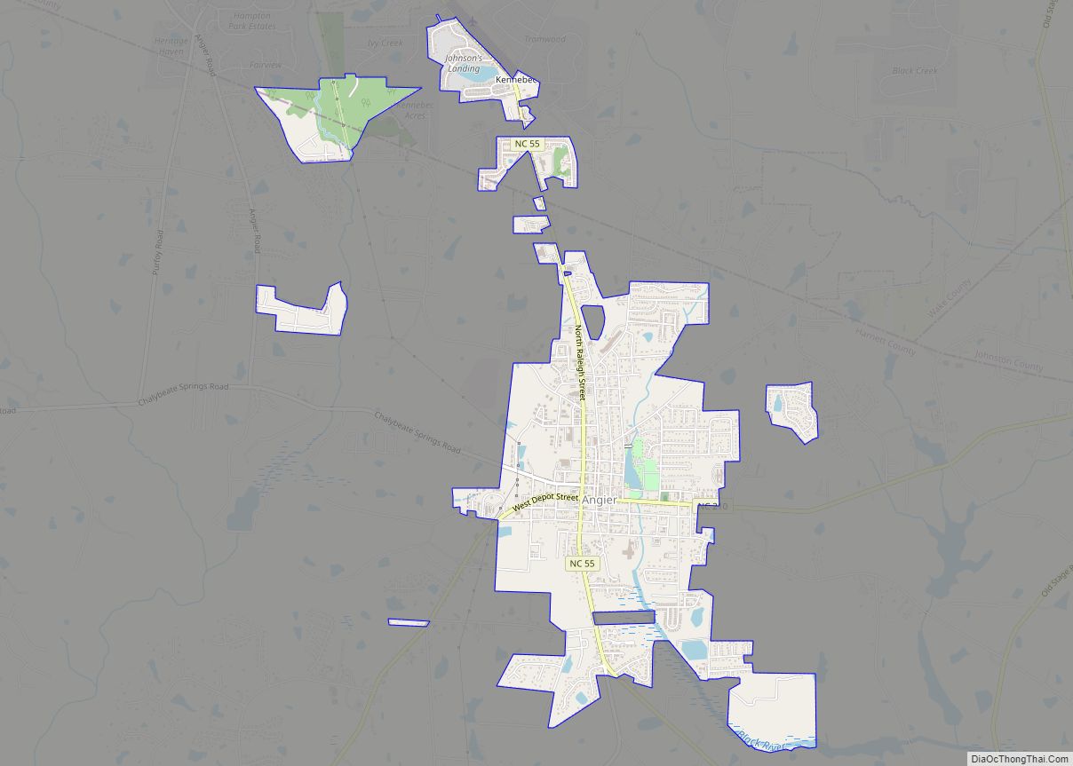
Broadway Road Map
Broadway city Satellite Map
Geography
Broadway is located in eastern Lee County at 35°27′30″N 79°03′12″W / 35.458280°N 79.053206°W / 35.458280; -79.053206 (35.458280, -79.053206). It is 8 miles (13 km) east of Sanford, the county seat. U.S. Route 421 passes south of the town limits, leading west to Sanford and east 14 miles (23 km) to Lillington.
According to the United States Census Bureau, the town of Broadway has a total area of 1.3 square miles (3.4 km), of which 1.3 square miles (3.3 km) are land and 0.04 square miles (0.1 km), or 2.55%, are water.
See also
Map of North Carolina State and its subdivision:- Alamance
- Alexander
- Alleghany
- Anson
- Ashe
- Avery
- Beaufort
- Bertie
- Bladen
- Brunswick
- Buncombe
- Burke
- Cabarrus
- Caldwell
- Camden
- Carteret
- Caswell
- Catawba
- Chatham
- Cherokee
- Chowan
- Clay
- Cleveland
- Columbus
- Craven
- Cumberland
- Currituck
- Dare
- Davidson
- Davie
- Duplin
- Durham
- Edgecombe
- Forsyth
- Franklin
- Gaston
- Gates
- Graham
- Granville
- Greene
- Guilford
- Halifax
- Harnett
- Haywood
- Henderson
- Hertford
- Hoke
- Hyde
- Iredell
- Jackson
- Johnston
- Jones
- Lee
- Lenoir
- Lincoln
- Macon
- Madison
- Martin
- McDowell
- Mecklenburg
- Mitchell
- Montgomery
- Moore
- Nash
- New Hanover
- Northampton
- Onslow
- Orange
- Pamlico
- Pasquotank
- Pender
- Perquimans
- Person
- Pitt
- Polk
- Randolph
- Richmond
- Robeson
- Rockingham
- Rowan
- Rutherford
- Sampson
- Scotland
- Stanly
- Stokes
- Surry
- Swain
- Transylvania
- Tyrrell
- Union
- Vance
- Wake
- Warren
- Washington
- Watauga
- Wayne
- Wilkes
- Wilson
- Yadkin
- Yancey
- Alabama
- Alaska
- Arizona
- Arkansas
- California
- Colorado
- Connecticut
- Delaware
- District of Columbia
- Florida
- Georgia
- Hawaii
- Idaho
- Illinois
- Indiana
- Iowa
- Kansas
- Kentucky
- Louisiana
- Maine
- Maryland
- Massachusetts
- Michigan
- Minnesota
- Mississippi
- Missouri
- Montana
- Nebraska
- Nevada
- New Hampshire
- New Jersey
- New Mexico
- New York
- North Carolina
- North Dakota
- Ohio
- Oklahoma
- Oregon
- Pennsylvania
- Rhode Island
- South Carolina
- South Dakota
- Tennessee
- Texas
- Utah
- Vermont
- Virginia
- Washington
- West Virginia
- Wisconsin
- Wyoming
