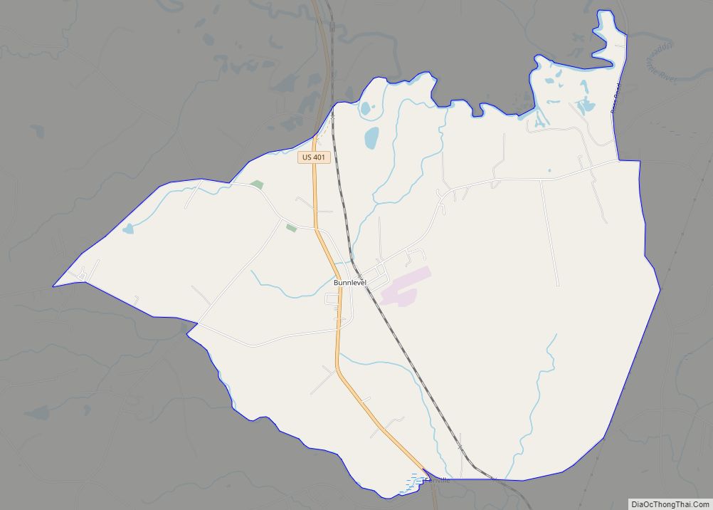
Bunnlevel is an unincorporated community and census-designated place (CDP) along U.S. Highway 401 in Stewarts Creek Township, Harnett County, North Carolina, United States. The population was 552 at the 2010 census. It is a part of the Dunn Micropolitan Area, which is also a part of the greater Raleigh–Durham–Cary Combined Statistical Area (CSA) as defined by the United States Census Bureau.
| Name: | Bunnlevel CDP |
|---|---|
| LSAD Code: | 57 |
| LSAD Description: | CDP (suffix) |
| State: | North Carolina |
| County: | Harnett County |
| Elevation: | 141 ft (43 m) |
| Total Area: | 7.59 sq mi (19.66 km²) |
| Land Area: | 7.56 sq mi (19.58 km²) |
| Water Area: | 0.03 sq mi (0.09 km²) |
| Total Population: | 516 |
| Population Density: | 68.26/sq mi (26.36/km²) |
| ZIP code: | 28323 |
| FIPS code: | 3708880 |
| GNISfeature ID: | 1019407 |
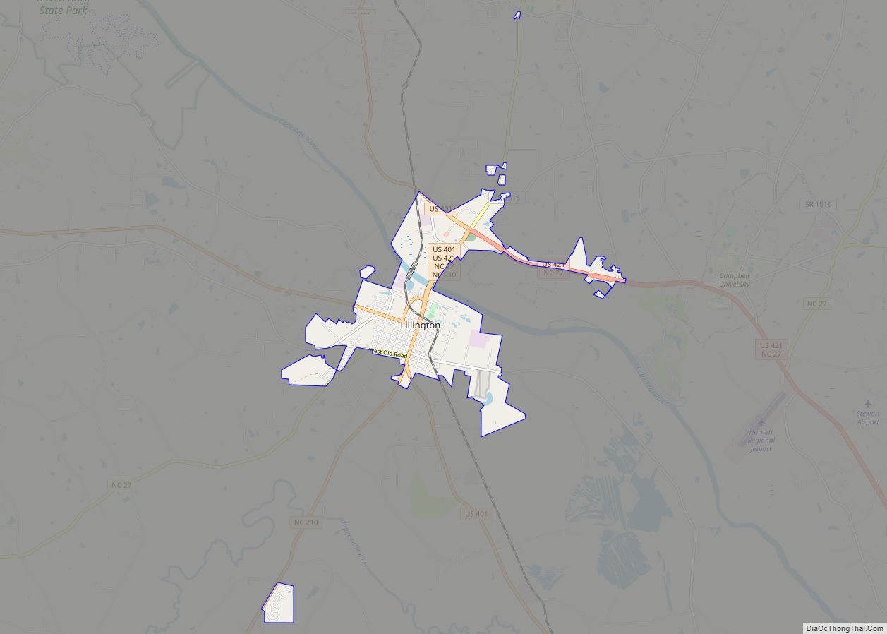
Online Interactive Map
Click on ![]() to view map in "full screen" mode.
to view map in "full screen" mode.
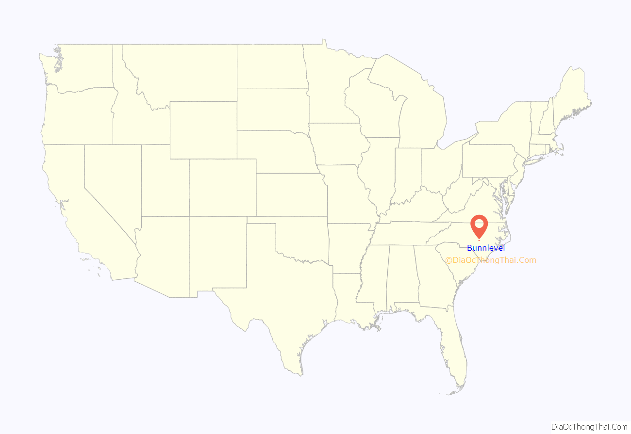
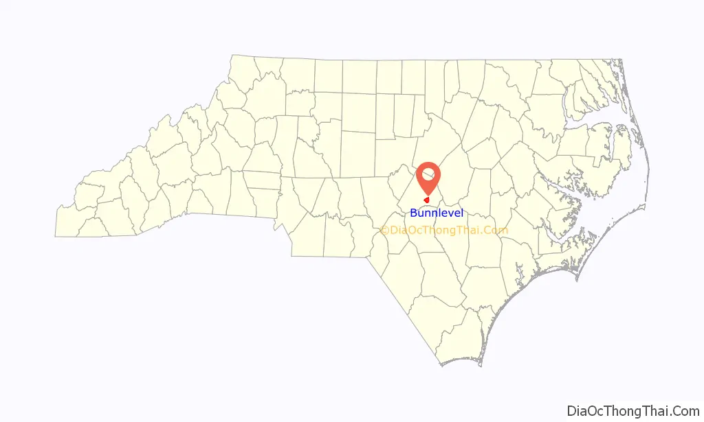
Bunnlevel location map. Where is Bunnlevel CDP?
History
Bunnlevel was originally named “Bunn’s Level” after a local resident Joseph Bunn who established the first Post Office April 6, 1846. The community was later incorporated in 1921 as “Bunnlevel” but has since been inactive as a municipality. Another incorporation movement here failed in 1961. Early prominent families included Elliott, McDougald, McNeill, McLean, Walker, Spears, Buie, Bunn, Byrd, Chance, Thomas, Hobbs and Hicks.
Thorbiskope was listed on the National Register of Historic Places in 1986.
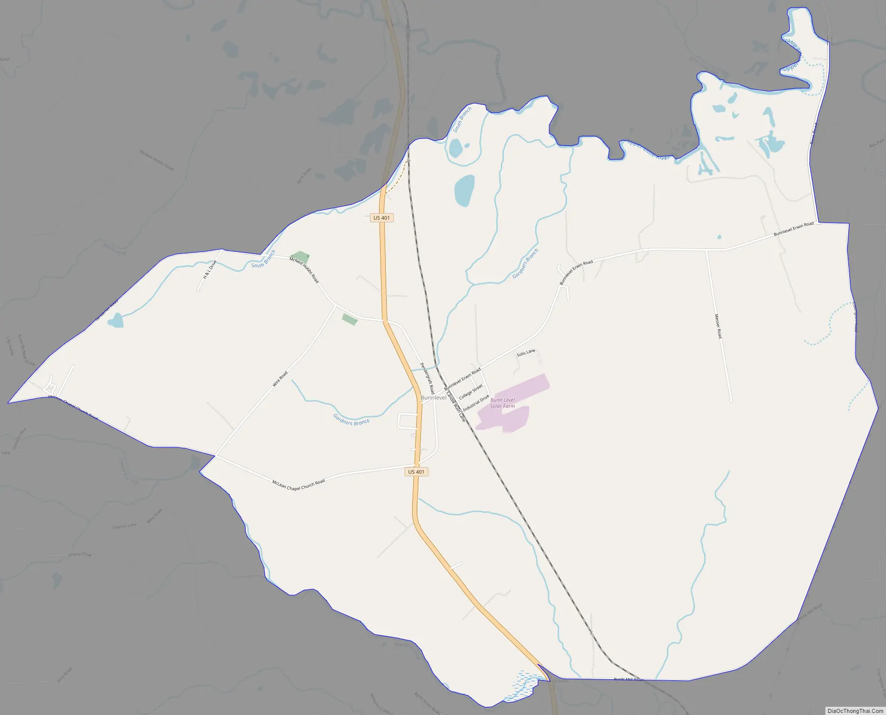
Bunnlevel Road Map
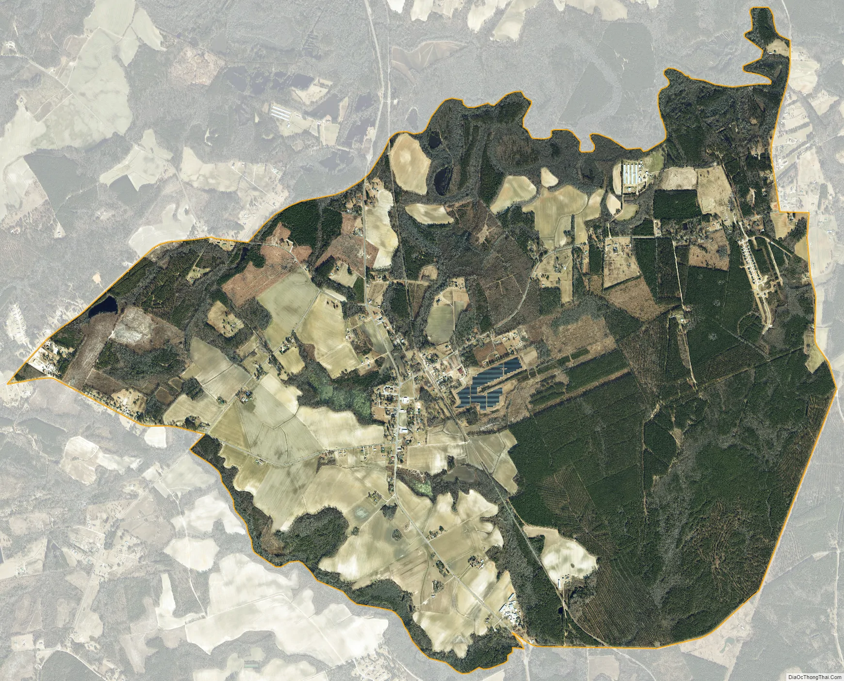
Bunnlevel city Satellite Map
Geography
The community is in southern Harnett County along U.S. Route 401, 7 miles (11 km) south of Lillington, the county seat, and 20 miles (32 km) north of Fayetteville. According to the United States Census Bureau, the Bunnlevel CDP has a total area of 7.59 square miles (19.66 km), of which 7.56 square miles (19.58 km) are land and 0.03 square miles (0.09 km), or 0.44%, are water.
See also
Map of North Carolina State and its subdivision:- Alamance
- Alexander
- Alleghany
- Anson
- Ashe
- Avery
- Beaufort
- Bertie
- Bladen
- Brunswick
- Buncombe
- Burke
- Cabarrus
- Caldwell
- Camden
- Carteret
- Caswell
- Catawba
- Chatham
- Cherokee
- Chowan
- Clay
- Cleveland
- Columbus
- Craven
- Cumberland
- Currituck
- Dare
- Davidson
- Davie
- Duplin
- Durham
- Edgecombe
- Forsyth
- Franklin
- Gaston
- Gates
- Graham
- Granville
- Greene
- Guilford
- Halifax
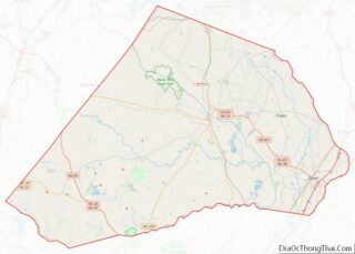
- Harnett
- Haywood
- Henderson
- Hertford
- Hoke
- Hyde
- Iredell
- Jackson
- Johnston
- Jones
- Lee
- Lenoir
- Lincoln
- Macon
- Madison
- Martin
- McDowell
- Mecklenburg
- Mitchell
- Montgomery
- Moore
- Nash
- New Hanover
- Northampton
- Onslow
- Orange
- Pamlico
- Pasquotank
- Pender
- Perquimans
- Person
- Pitt
- Polk
- Randolph
- Richmond
- Robeson
- Rockingham
- Rowan
- Rutherford
- Sampson
- Scotland
- Stanly
- Stokes
- Surry
- Swain
- Transylvania
- Tyrrell
- Union
- Vance
- Wake
- Warren
- Washington
- Watauga
- Wayne
- Wilkes
- Wilson
- Yadkin
- Yancey
- Alabama
- Alaska
- Arizona
- Arkansas
- California
- Colorado
- Connecticut
- Delaware
- District of Columbia
- Florida
- Georgia
- Hawaii
- Idaho
- Illinois
- Indiana
- Iowa
- Kansas
- Kentucky
- Louisiana
- Maine
- Maryland
- Massachusetts
- Michigan
- Minnesota
- Mississippi
- Missouri
- Montana
- Nebraska
- Nevada
- New Hampshire
- New Jersey
- New Mexico
- New York
- North Carolina
- North Dakota
- Ohio
- Oklahoma
- Oregon
- Pennsylvania
- Rhode Island
- South Carolina
- South Dakota
- Tennessee
- Texas
- Utah
- Vermont
- Virginia
- Washington
- West Virginia
- Wisconsin
- Wyoming