Carthage is the county seat of Moore County, North Carolina, United States. The population was 2,635 at the 2020 Census. The city is named after Carthage.
| Name: | Carthage town |
|---|---|
| LSAD Code: | 43 |
| LSAD Description: | town (suffix) |
| State: | North Carolina |
| County: | Moore County |
| Founded: | 1796 |
| Incorporated: | 1796 |
| Elevation: | 617 ft (188 m) |
| Total Area: | 6.70 sq mi (17.36 km²) |
| Land Area: | 6.67 sq mi (17.26 km²) |
| Water Area: | 0.04 sq mi (0.10 km²) |
| Total Population: | 2,775 |
| Population Density: | 416.35/sq mi (160.76/km²) |
| ZIP code: | 28327 |
| FIPS code: | 3710680 |
| GNISfeature ID: | 1018757 |
| Website: | www.townofcarthage.org |
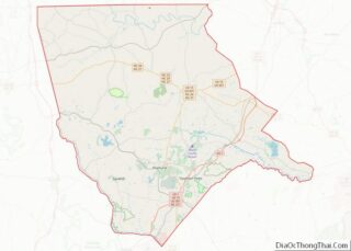
Online Interactive Map
Click on ![]() to view map in "full screen" mode.
to view map in "full screen" mode.
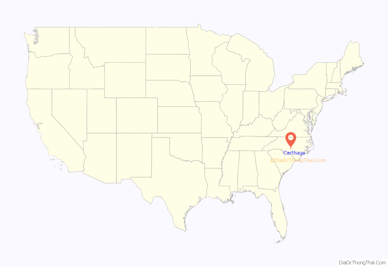
Carthage location map. Where is Carthage town?
History
The town was the home of the Tyson & Jones Buggy Company, a predominant cart and buggy manufacturer in the late 1800s. A common local story is that after the closing of the Tyson Buggy Company, Henry Ford was interested in buying the old plant and converting it into a car assembly line. According to the legend, the owners refused to let Ford buy the plant. He moved on and built his first plant in Detroit, making it the center of auto manufacturing. This story is often repeated despite a lack of evidence, and it does not fit runs contrary to the life of Ford, who was born and raised in Detroit and started his businesses there. A few years after being closed, the former Tyson Buggy plant burned down.
Another common local story is that the town was originally selected as the site for the University of North Carolina. But supposedly city leaders did not want the university built there. City leaders purportedly told the State that Carthage was on too steep of a hill for locomotives to climb and that access to the university would be limited if built there. This often-repeated story does not account for the fact that locomotives were not invented until two decades after the university had been built in Chapel Hill.
The town has an annual event in spring called the Buggy Festival. This event is used to showcase the history of the town and feature music, hot rods, old tractors, old buggies made by the Tyson Buggy Company, and crafts from potteries in the surrounding areas. This event is held in the town square around the Old Court House, recognized as an historic landmark.
Tyson & Jones buggy factory partner, William T. Jones was born the son of a slave and her white owner in 1833. By the time of his death in 1910, William T. Jones was one of the prominent business owners in Carthage. He rubbed elbows with the elite, white, upper class in Moore County during the 1880s, dined with them, threw elaborate holiday parties where most of the guests were white, and even attended church with them. Both of his wives, Sophia Isabella McLean and Florence Dockery were white. Dockery was the daughter of a well-to-do Apex family.
James Rogers McConnell, a resident of Carthage (14 March 1887 – 19 March 1917) flew as an aviator during World War I in the Lafayette Escadrille and authored Flying for France. He was the first of sixty-four University of Virginia students to die in battle during that War.[1] McConnell was flying in the area of St.-Quentin when two German planes shot him down on March 19, 1917. He was the last American pilot of the squadron to die under French colors before America entered the war in April 1917. Both the plane and his body were found by the French, and he was buried at the site of his death at the edge of the village of Jussy, and was later reinterred at the Lafayette Escadrille memorial near Paris upon his father’s wishes. McConnell was commemorated with a plaque by the French Government and a statue by Gutzon Borglum at the University of Virginia, as well as an obelisk on the court square of his home town of Carthage, North Carolina.
The J.F. Cole House in the Carthage Historic District, J.C. Black House, Daniel Blue House, Bruce-Dowd-Kennedy House, Carthage Historic District, Alexander Kelly House, and Moore County Courthouse are listed on the National Register of Historic Places.
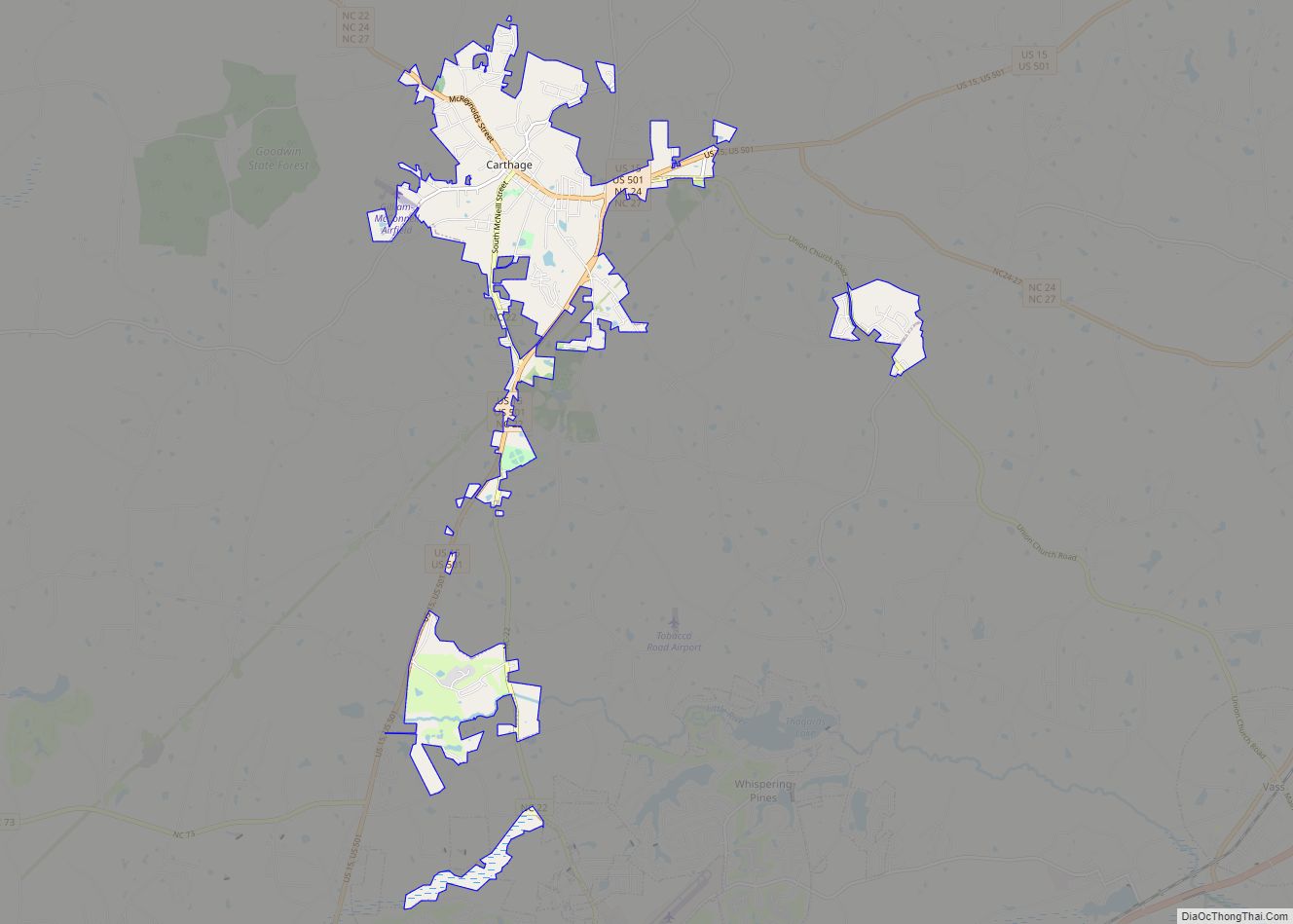
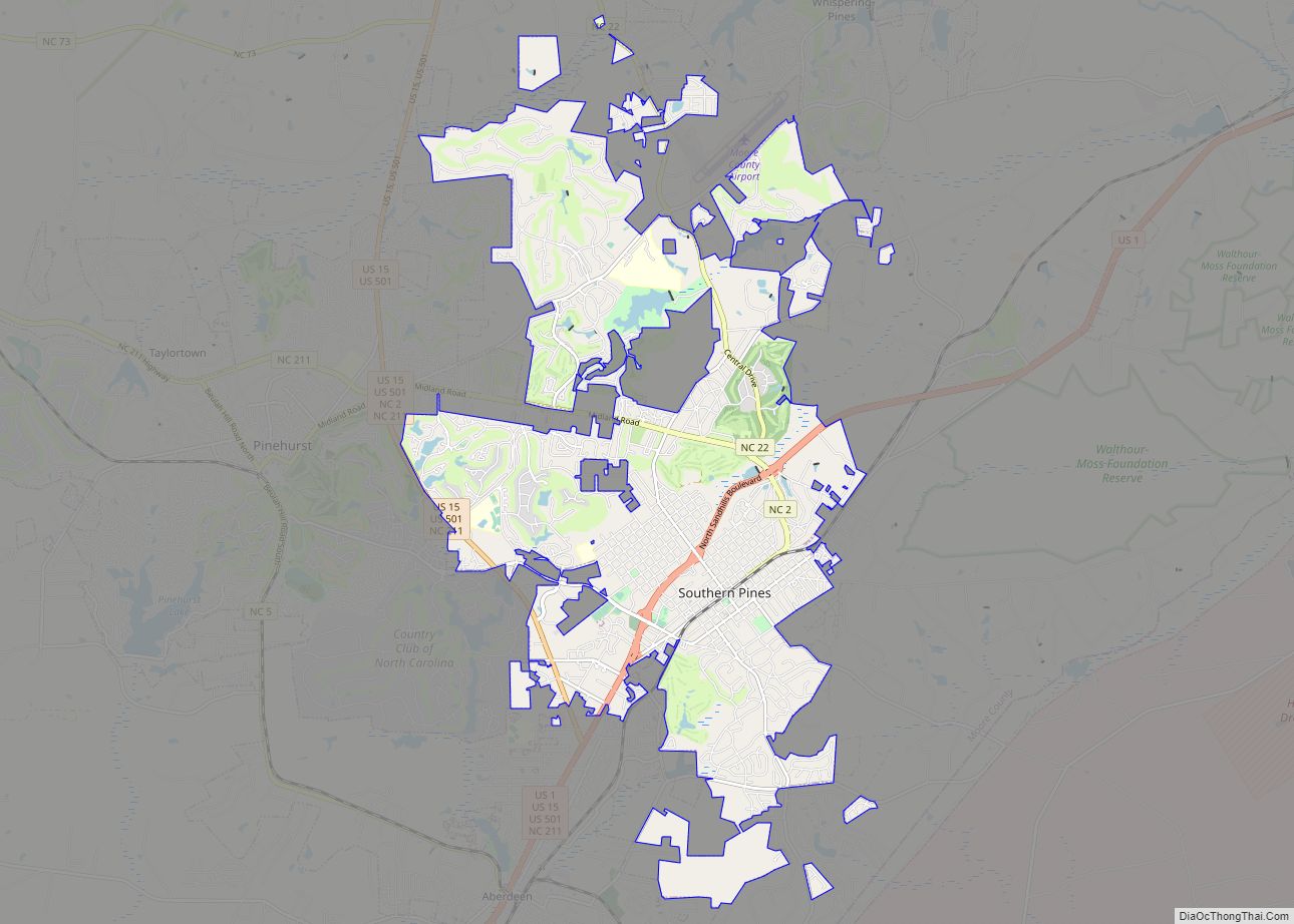
Carthage Road Map
Carthage city Satellite Map
Geography
Carthage is located at 35°19′46″N 79°24′31″W / 35.32944°N 79.40861°W / 35.32944; -79.40861 (35.329441, -79.408475).
According to the United States Census Bureau, the town has a total area of 5.9 square miles (15 km), of which, 5.8 square miles (15 km) of it is land and 0.04 square miles (0.10 km) of it (0.68%) is water.
Climate
See also
Map of North Carolina State and its subdivision:- Alamance
- Alexander
- Alleghany
- Anson
- Ashe
- Avery
- Beaufort
- Bertie
- Bladen
- Brunswick
- Buncombe
- Burke
- Cabarrus
- Caldwell
- Camden
- Carteret
- Caswell
- Catawba
- Chatham
- Cherokee
- Chowan
- Clay
- Cleveland
- Columbus
- Craven
- Cumberland
- Currituck
- Dare
- Davidson
- Davie
- Duplin
- Durham
- Edgecombe
- Forsyth
- Franklin
- Gaston
- Gates
- Graham
- Granville
- Greene
- Guilford
- Halifax
- Harnett
- Haywood
- Henderson
- Hertford
- Hoke
- Hyde
- Iredell
- Jackson
- Johnston
- Jones
- Lee
- Lenoir
- Lincoln
- Macon
- Madison
- Martin
- McDowell
- Mecklenburg
- Mitchell
- Montgomery
- Moore
- Nash
- New Hanover
- Northampton
- Onslow
- Orange
- Pamlico
- Pasquotank
- Pender
- Perquimans
- Person
- Pitt
- Polk
- Randolph
- Richmond
- Robeson
- Rockingham
- Rowan
- Rutherford
- Sampson
- Scotland
- Stanly
- Stokes
- Surry
- Swain
- Transylvania
- Tyrrell
- Union
- Vance
- Wake
- Warren
- Washington
- Watauga
- Wayne
- Wilkes
- Wilson
- Yadkin
- Yancey
- Alabama
- Alaska
- Arizona
- Arkansas
- California
- Colorado
- Connecticut
- Delaware
- District of Columbia
- Florida
- Georgia
- Hawaii
- Idaho
- Illinois
- Indiana
- Iowa
- Kansas
- Kentucky
- Louisiana
- Maine
- Maryland
- Massachusetts
- Michigan
- Minnesota
- Mississippi
- Missouri
- Montana
- Nebraska
- Nevada
- New Hampshire
- New Jersey
- New Mexico
- New York
- North Carolina
- North Dakota
- Ohio
- Oklahoma
- Oregon
- Pennsylvania
- Rhode Island
- South Carolina
- South Dakota
- Tennessee
- Texas
- Utah
- Vermont
- Virginia
- Washington
- West Virginia
- Wisconsin
- Wyoming
