Morrisville is a town located primarily in Wake County, North Carolina, United States (a small portion extends into neighboring Durham County). The U.S. Census Bureau estimated the town’s population to be 31,278 as of July 1, 2021. Morrisville is part of the Research Triangle metropolitan region. The regional name originated after the 1959 creation of the Research Triangle Park, located midway between the cities of Raleigh and Durham. The Research Triangle region encompasses the U.S. Census Bureau’s Combined Statistical Area (CSA) of Raleigh-Durham-Cary. The estimated population of the Raleigh-Durham-Cary CSA was 2,144,608 as of 2021, with the Raleigh-Cary Metropolitan Statistical Area (MSA) portion estimated at 1,448,411 residents. The operational headquarter of an American -Chinese multinational technology company Lenovo is located in the municipal limits.
| Name: | Morrisville town |
|---|---|
| LSAD Code: | 43 |
| LSAD Description: | town (suffix) |
| State: | North Carolina |
| County: | Durham County, Wake County |
| Elevation: | 299 ft (91 m) |
| Total Area: | 8.89 sq mi (23.02 km²) |
| Land Area: | 8.83 sq mi (22.86 km²) |
| Water Area: | 0.06 sq mi (0.16 km²) |
| Total Population: | 29,630 |
| Population Density: | 3,356.75/sq mi (1,296.00/km²) |
| ZIP code: | 27519, 27560 |
| Area code: | 919 & 984 |
| FIPS code: | 3744520 |
| GNISfeature ID: | 1021537 |
| Website: | www.townofmorrisville.org |
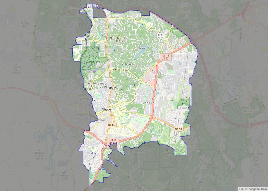
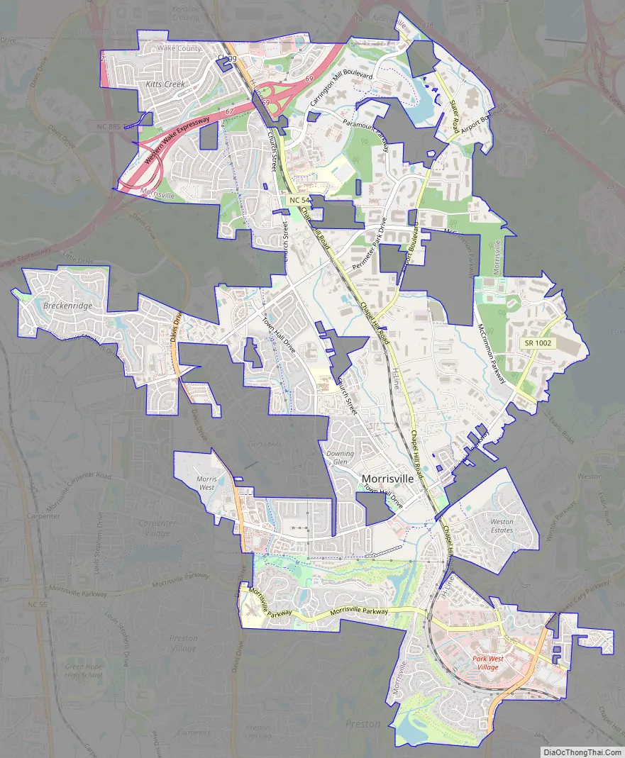
Online Interactive Map
Click on ![]() to view map in "full screen" mode.
to view map in "full screen" mode.
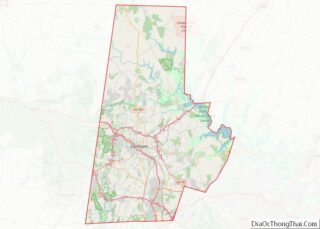
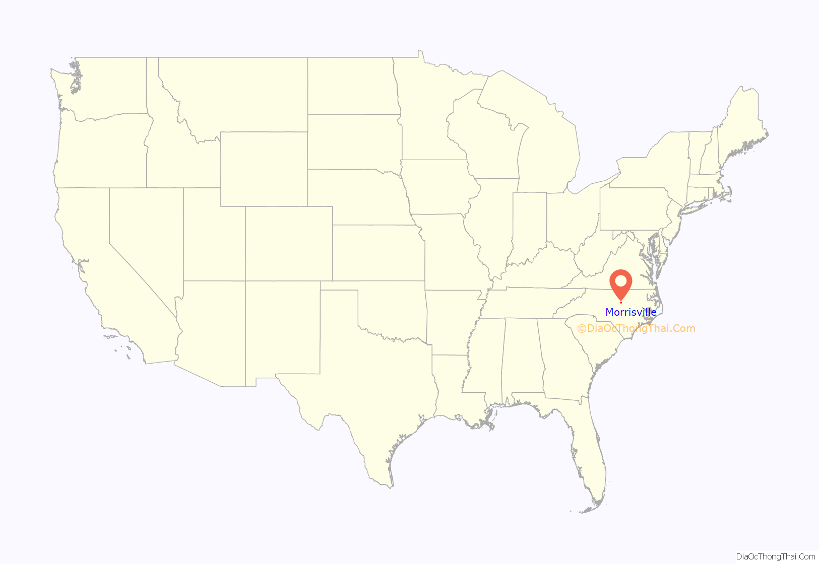
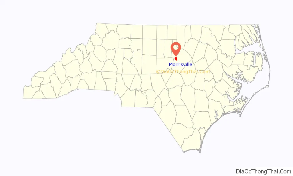
Morrisville location map. Where is Morrisville town?
History
The area was originally named in 1852 after Jeremiah Morris. Morris donated land to the North Carolina Railroad for a depot, water tower, and other buildings. The town continued to grow as a result of the rail line and its location at the intersection of roads leading to Chapel Hill, Raleigh, and Hillsborough.
On April 13, 1865, in the Battle of Morrisville, United States cavalry under the command of Gen. Judson Kilpatrick skirmished with the retreating Confederate armies at Morrisville Station. The Confederate troops were successful in evacuating their remaining supplies and wounded to the west toward Greensboro, but Gen. William Tecumseh Sherman’s cavalry forced the Confederates to leave the train behind and retreat toward Durham and the eventual surrender of the largest Confederate force of the war at Bennett Place.
The town was officially chartered in 1875 but was disincorporated in 1933. Eventually the town charter was restored in 1947.
Morrisville History (as listed on historical marker):
The history marker notes it was given in memory of Commissioner C.T. Moore.
On December 13, 1994, Flagship Airlines Flight 3379 crashed in Morrisville, killing 15 of the 20 people on board.
Morrisville Road Map
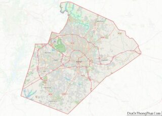
Morrisville city Satellite Map

Geography
According to the United States Census Bureau, the town has a total area of 8.3 square miles (21.5 km), of which 8.3 square miles (21.4 km) is land and 0.04 square miles (0.1 km), or 0.62%, is water.
Morrisville is located in the northeast central region of North Carolina, where the North American Piedmont and Atlantic Coastal Plain regions meet. This area is known as the “Fall Line” because it marks the elevation inland at which waterfalls begin to appear in creeks and rivers. As a result, most of Morrisville features gently rolling hills that slope eastward toward the state’s flat coastal plain. Its central Piedmont location situates the county approximately three hours west of Atlantic Beach by car and four hours east of the Great Smoky Mountains.
The central core of Morrisville is located along the upper portion of Crabtree Creek, which then feeds into Lake Crabtree, located in the southeastern part of the town.
Climate
Morrisville enjoys a moderate subtropical climate, with moderate temperatures in the spring, fall, and winter. Summers are typically hot with high humidity. Winter highs generally range in the low 50s°F (10 to 13 °C) with lows in the low-to-mid 30s°F (-2 to 2 °C), although an occasional 60 °F (15 °C) or warmer winter day is not uncommon. This is canceled out, however, with several days where highs do not get out of the 30s. There are usually one or two substantial snowfalls per winter, occurring mainly in February. Spring and fall days usually reach the low-to-mid 70s°F (low 20s°C), with lows at night in the lower 50s°F (10 to 14 °C). Summer daytime highs often reach the upper 80s to low 90s°F (29 to 35 °C). The rainiest months are July and August.
See also
Map of North Carolina State and its subdivision:- Alamance
- Alexander
- Alleghany
- Anson
- Ashe
- Avery
- Beaufort
- Bertie
- Bladen
- Brunswick
- Buncombe
- Burke
- Cabarrus
- Caldwell
- Camden
- Carteret
- Caswell
- Catawba
- Chatham
- Cherokee
- Chowan
- Clay
- Cleveland
- Columbus
- Craven
- Cumberland
- Currituck
- Dare
- Davidson
- Davie
- Duplin
- Durham
- Edgecombe
- Forsyth
- Franklin
- Gaston
- Gates
- Graham
- Granville
- Greene
- Guilford
- Halifax
- Harnett
- Haywood
- Henderson
- Hertford
- Hoke
- Hyde
- Iredell
- Jackson
- Johnston
- Jones
- Lee
- Lenoir
- Lincoln
- Macon
- Madison
- Martin
- McDowell
- Mecklenburg
- Mitchell
- Montgomery
- Moore
- Nash
- New Hanover
- Northampton
- Onslow
- Orange
- Pamlico
- Pasquotank
- Pender
- Perquimans
- Person
- Pitt
- Polk
- Randolph
- Richmond
- Robeson
- Rockingham
- Rowan
- Rutherford
- Sampson
- Scotland
- Stanly
- Stokes
- Surry
- Swain
- Transylvania
- Tyrrell
- Union
- Vance
- Wake
- Warren
- Washington
- Watauga
- Wayne
- Wilkes
- Wilson
- Yadkin
- Yancey
- Alabama
- Alaska
- Arizona
- Arkansas
- California
- Colorado
- Connecticut
- Delaware
- District of Columbia
- Florida
- Georgia
- Hawaii
- Idaho
- Illinois
- Indiana
- Iowa
- Kansas
- Kentucky
- Louisiana
- Maine
- Maryland
- Massachusetts
- Michigan
- Minnesota
- Mississippi
- Missouri
- Montana
- Nebraska
- Nevada
- New Hampshire
- New Jersey
- New Mexico
- New York
- North Carolina
- North Dakota
- Ohio
- Oklahoma
- Oregon
- Pennsylvania
- Rhode Island
- South Carolina
- South Dakota
- Tennessee
- Texas
- Utah
- Vermont
- Virginia
- Washington
- West Virginia
- Wisconsin
- Wyoming