Salisbury is a city in the Piedmont region of North Carolina, United States; it has been the county seat of Rowan County since 1753 when its territory extended to the Mississippi River. Located 25 miles (40 km) northeast of Charlotte and within its metropolitan area, the town has attracted a growing population. The 2020 census shows 35,580 residents.
Salisbury is the oldest continually populated colonial town in the western region of North Carolina. It is noted for its historic preservation, with five Local Historic Districts and ten National Register Historic Districts.
Soft drink producer Cheerwine and regional supermarket Food Lion are located in Salisbury and Rack Room Shoes was founded there.
| Name: | Salisbury city |
|---|---|
| LSAD Code: | 25 |
| LSAD Description: | city (suffix) |
| State: | North Carolina |
| County: | Rowan County |
| Elevation: | 791 ft (241 m) |
| Total Area: | 22.03 sq mi (57.05 km²) |
| Land Area: | 22.03 sq mi (57.05 km²) |
| Water Area: | 0.00 sq mi (0.00 km²) |
| Total Population: | 35,540 |
| Population Density: | 1,613.47/sq mi (622.98/km²) |
| ZIP code: | 28144-28147-28146 |
| Area code: | 704,980 |
| FIPS code: | 3758860 |
| GNISfeature ID: | 0994186 |
| Website: | www.salisburync.gov |
Online Interactive Map
Click on ![]() to view map in "full screen" mode.
to view map in "full screen" mode.
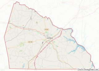
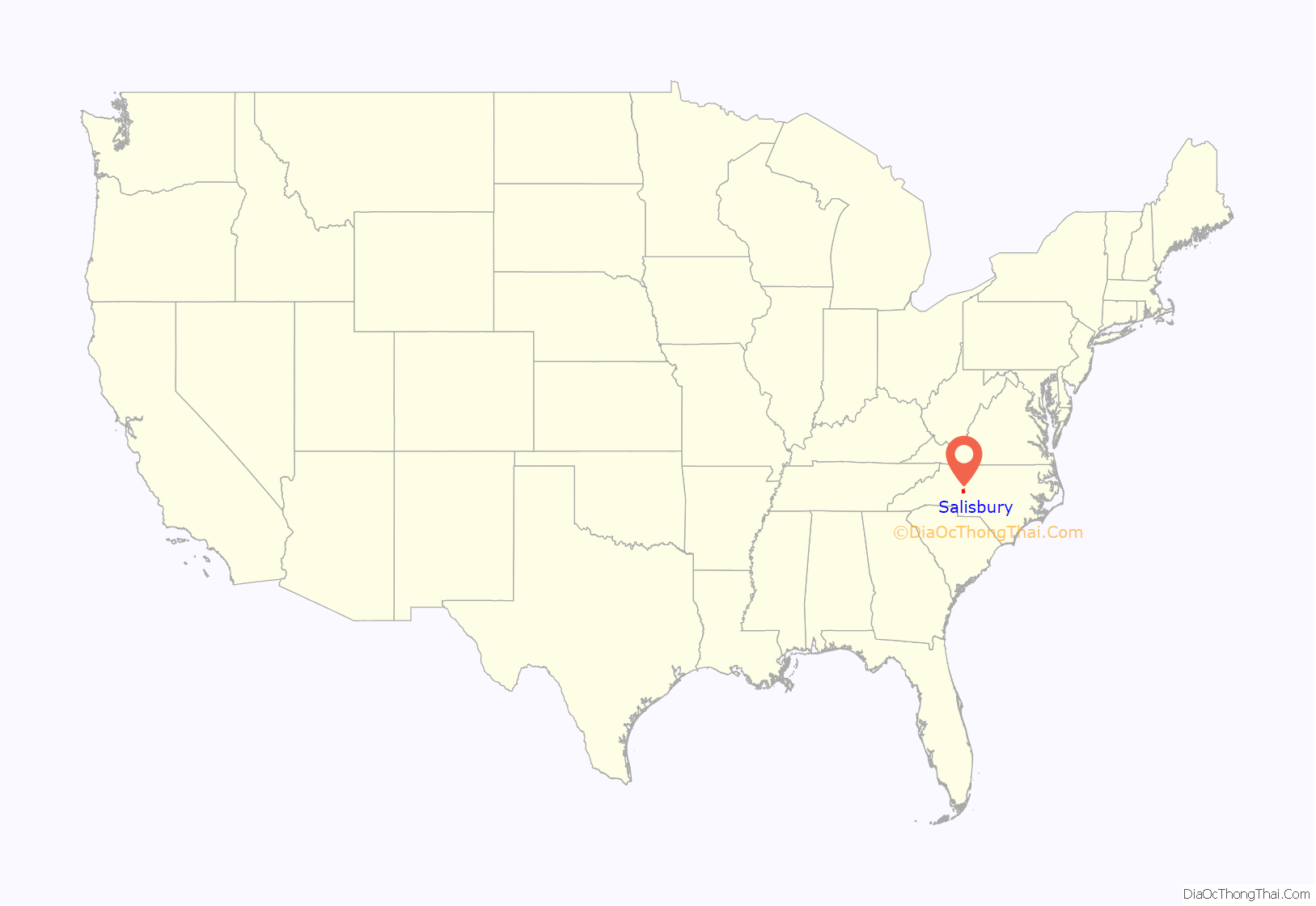
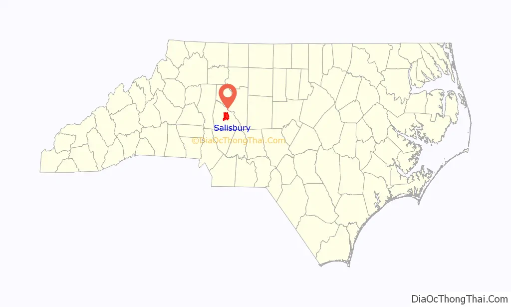
Salisbury location map. Where is Salisbury city?
History
In 1753 an appointed Anglo-European trustee for Rowan County was directed to enter 40 acres (16 ha) of land for a County Seat, and public buildings were erected. The deed is dated February 11, 1755, when John Carteret, 2nd Earl Granville conveyed 635 acres (257 ha) for the “Salisbury Township”. The settlement was built at the intersection of longtime Native American trading routes. It became an economic hub along what was improved as the Great Wagon Road in North Carolina. It became the principal city of the Salisbury judicial and militia districts in the years leading up to the American Revolutionary War. On June 12, 1792, Salisbury was granted a US Post Office. Its first postmaster was George Lauman. This post office has been in continuous operation ever since.
In the antebellum period and after the American Civil War, Salisbury was the trading city of an upland area devoted to cultivation of cotton as a commodity crop. It was also the business and law center of the county. Numerous houses and other structures were built by wealthy planters and merchants in this period. In the late 19th century, the city was served by railroads, becoming a railroad hub as people and freight were transported along the eastern corridor.
After three black men were lynched in Salisbury in 1906, one of the lynchers was prosecuted. This resulted in the first conviction for lynching in North Carolina, and one of the first in the United States.
In the 20th century, Salisbury’s economy grew into an industrial-based economy. Entrepreneurs developed the textile industry for processing cotton, first, and numerous textile mills operated in the city.
The industry owners moved their jobs and mills offshore in the late 20th century, to areas with cheaper labor costs. This change cost the city and area many jobs, and unemployment rose for a period. Since 2000, the city’s population has grown rapidly, with people attracted to the city’s resources and amenities.
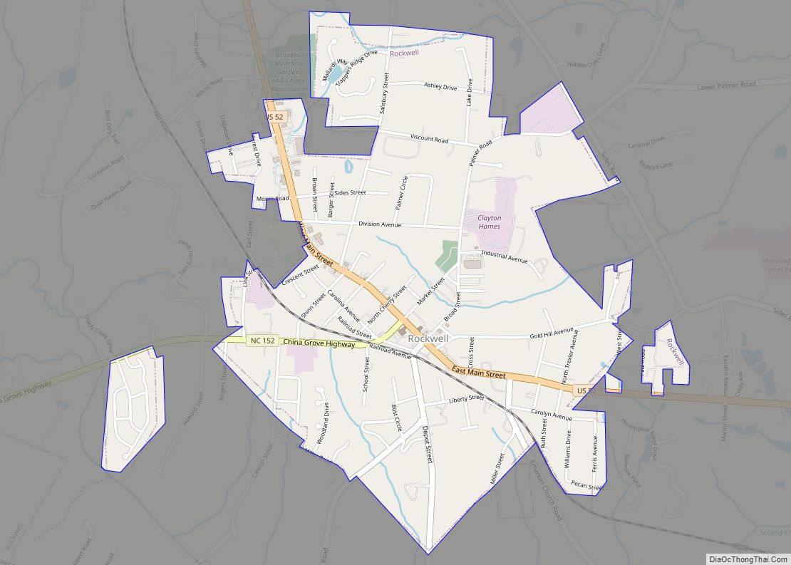
Salisbury Road Map
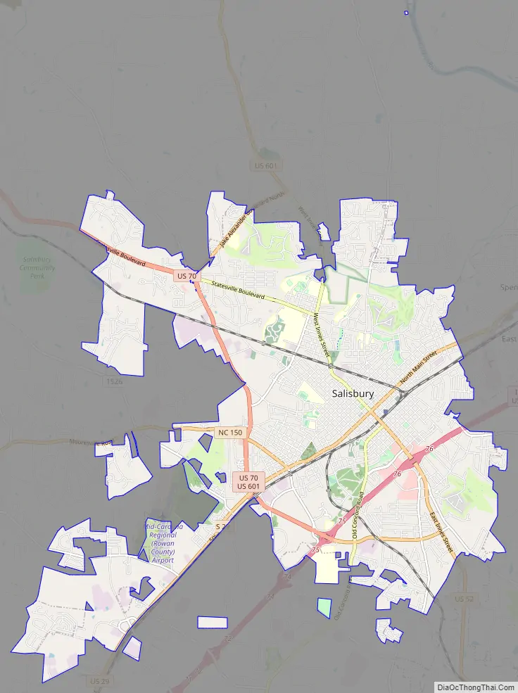
Salisbury city Satellite Map
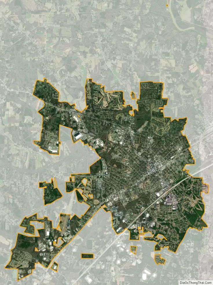
Geography
According to the United States Census Bureau, as of 2010, the city has a total area of 22.14 square miles (57.3 km), all land.
Salisbury is located in the Central Piedmont of North Carolina in the Charlotte metropolitan area. The city is 21 miles north of Concord, 38 miles south of Winston-Salem, and 25 miles northeast of Charlotte.
See also
Map of North Carolina State and its subdivision:- Alamance
- Alexander
- Alleghany
- Anson
- Ashe
- Avery
- Beaufort
- Bertie
- Bladen
- Brunswick
- Buncombe
- Burke
- Cabarrus
- Caldwell
- Camden
- Carteret
- Caswell
- Catawba
- Chatham
- Cherokee
- Chowan
- Clay
- Cleveland
- Columbus
- Craven
- Cumberland
- Currituck
- Dare
- Davidson
- Davie
- Duplin
- Durham
- Edgecombe
- Forsyth
- Franklin
- Gaston
- Gates
- Graham
- Granville
- Greene
- Guilford
- Halifax
- Harnett
- Haywood
- Henderson
- Hertford
- Hoke
- Hyde
- Iredell
- Jackson
- Johnston
- Jones
- Lee
- Lenoir
- Lincoln
- Macon
- Madison
- Martin
- McDowell
- Mecklenburg
- Mitchell
- Montgomery
- Moore
- Nash
- New Hanover
- Northampton
- Onslow
- Orange
- Pamlico
- Pasquotank
- Pender
- Perquimans
- Person
- Pitt
- Polk
- Randolph
- Richmond
- Robeson
- Rockingham
- Rowan
- Rutherford
- Sampson
- Scotland
- Stanly
- Stokes
- Surry
- Swain
- Transylvania
- Tyrrell
- Union
- Vance
- Wake
- Warren
- Washington
- Watauga
- Wayne
- Wilkes
- Wilson
- Yadkin
- Yancey
- Alabama
- Alaska
- Arizona
- Arkansas
- California
- Colorado
- Connecticut
- Delaware
- District of Columbia
- Florida
- Georgia
- Hawaii
- Idaho
- Illinois
- Indiana
- Iowa
- Kansas
- Kentucky
- Louisiana
- Maine
- Maryland
- Massachusetts
- Michigan
- Minnesota
- Mississippi
- Missouri
- Montana
- Nebraska
- Nevada
- New Hampshire
- New Jersey
- New Mexico
- New York
- North Carolina
- North Dakota
- Ohio
- Oklahoma
- Oregon
- Pennsylvania
- Rhode Island
- South Carolina
- South Dakota
- Tennessee
- Texas
- Utah
- Vermont
- Virginia
- Washington
- West Virginia
- Wisconsin
- Wyoming