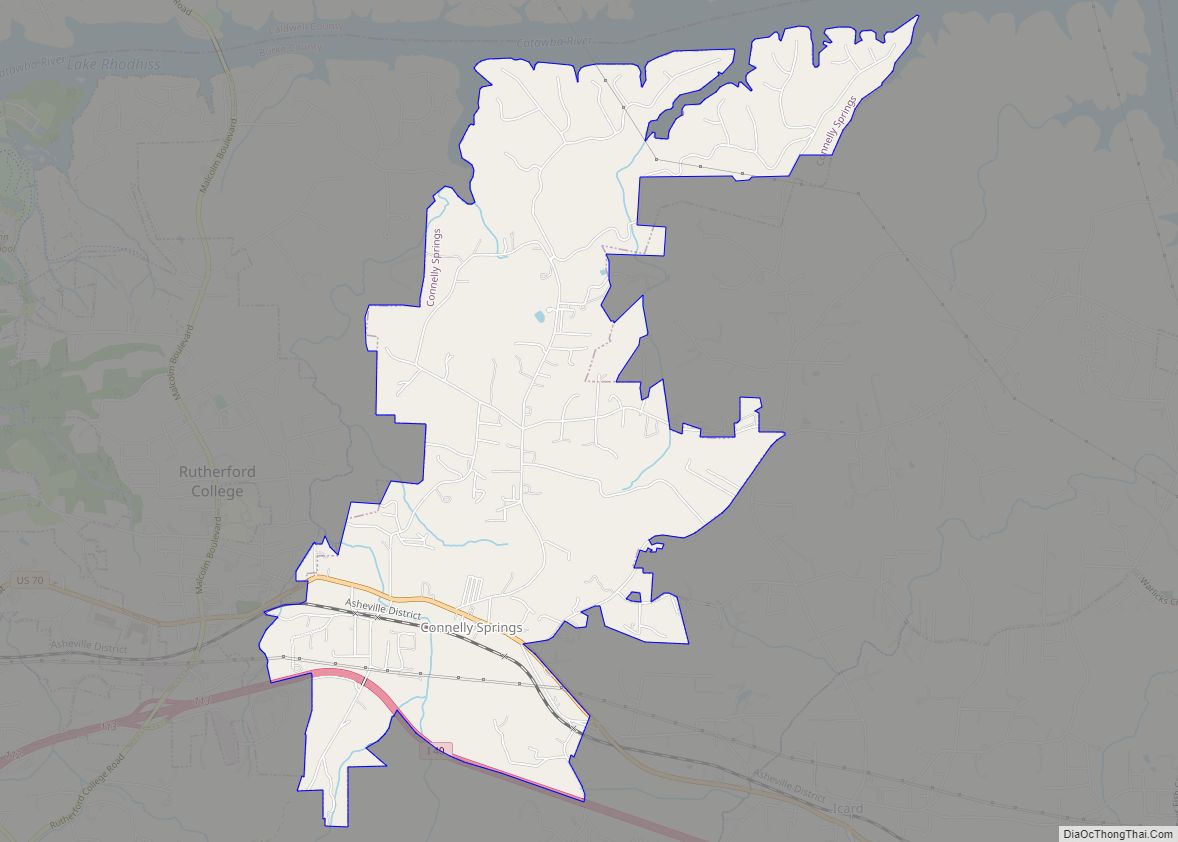
Connelly Springs is a town in Burke County, North Carolina, United States. The population was 1,669 at the 2010 census. It is part of the Hickory–Lenoir–Morganton Metropolitan Statistical Area.
| Name: | Connelly Springs town |
|---|---|
| LSAD Code: | 43 |
| LSAD Description: | town (suffix) |
| State: | North Carolina |
| County: | Burke County |
| Total Area: | 4.99 sq mi (12.93 km²) |
| Land Area: | 4.99 sq mi (12.93 km²) |
| Water Area: | 0.00 sq mi (0.00 km²) |
| Total Population: | 1,529 |
| Population Density: | 306.41/sq mi (118.30/km²) |
| ZIP code: | 28612 |
| FIPS code: | 3714280 |
| GNISfeature ID: | 1019758 |
| Website: | connellysprings.com |
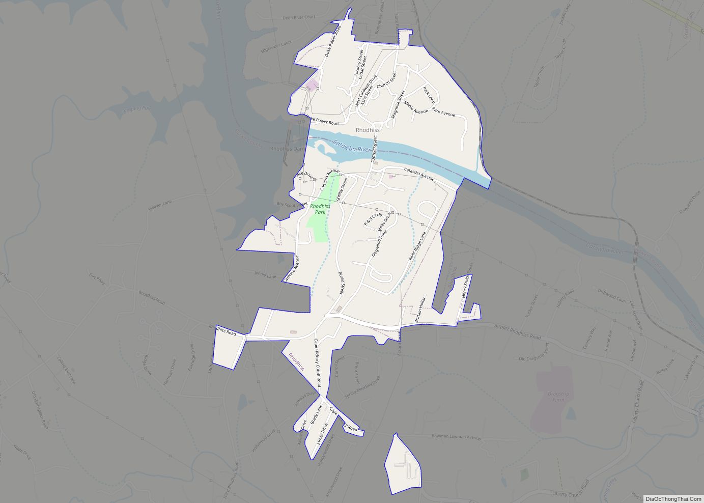
Online Interactive Map
Click on ![]() to view map in "full screen" mode.
to view map in "full screen" mode.
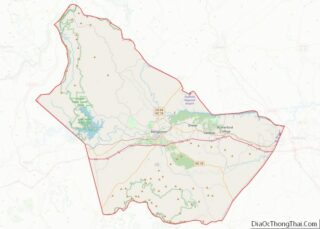
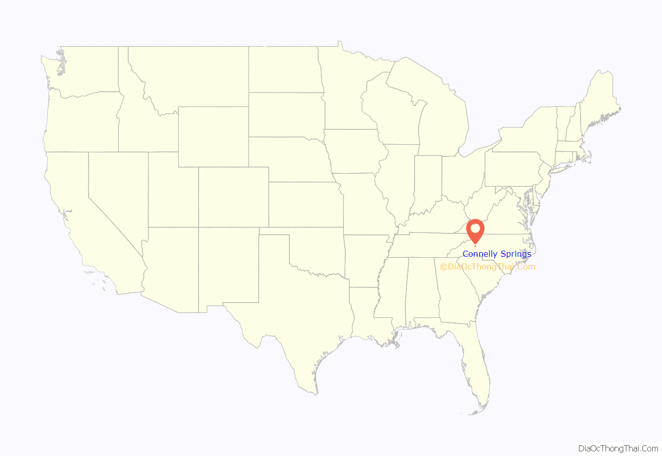
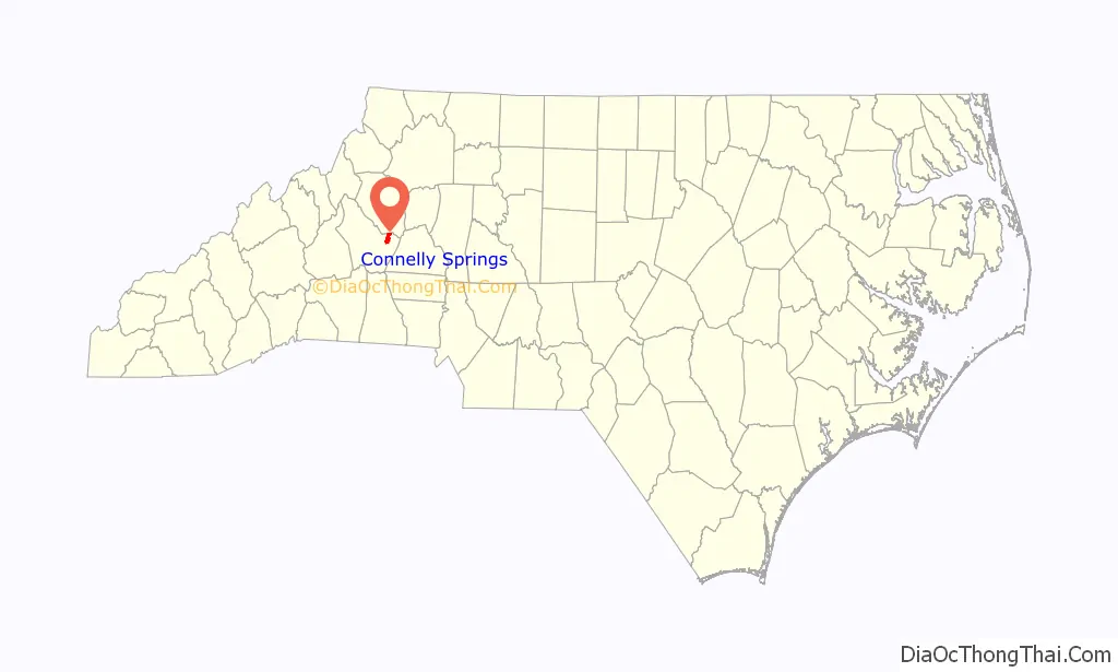
Connelly Springs location map. Where is Connelly Springs town?
History
The first settler on record in the area was William Lewis Connelly, a colonel in the North Carolina militia, for whom the town was named. In 1838, Colonel Connelly built a log home and operated a way station where fresh horses could be made available for the stagecoach line that ran from Salisbury to Asheville. He also took in boarders who were looking to spend a night during a long journey. During this time, a settlement grew up around the way station, which was then known as Happy Home, and a post office was established.
In 1885, the area was found to have a mineral spring, thought to be beneficial in healing a large number of diseases. Mrs. Elmira Connelly opened her spring to others, and before long people were arriving by horse and wagon, and by train, to cart water away in five-gallon demijohns. The popularity of Mrs. Connelly’s mineral spring led to the construction of the Connelly Mineral Springs Hotel, a 50-room hotel that was built along the railroad tracks, and near the mineral spring discovered by Mrs. Connelly. As the town grew, it became known as Connelly Springs, and was incorporated as such on May 4, 1920.
Connelly Springs Road Map
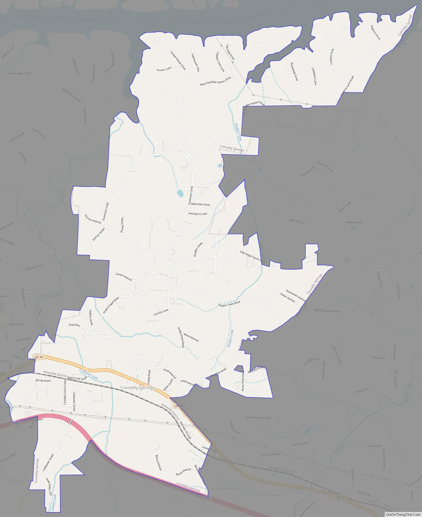
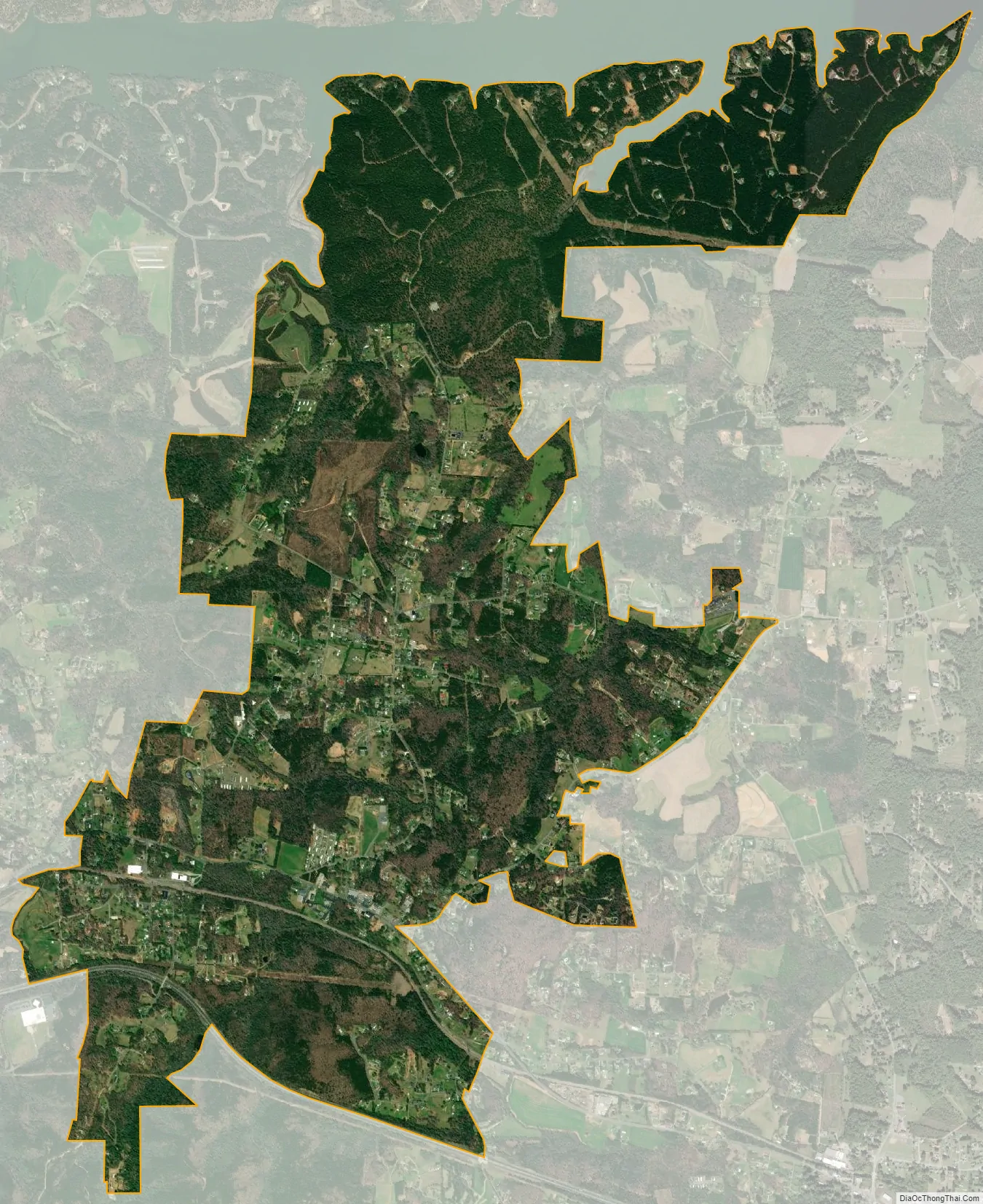
Connelly Springs city Satellite Map
Geography
Connelly Springs is located in eastern Burke County at 35°44′40″N 81°30′13″W / 35.74444°N 81.50361°W / 35.74444; -81.50361 (35.744515, -81.503738). It is bordered to the west by the town of Rutherford College and to the north by Rhodhiss Lake on the Catawba River. Interstate 40 forms part of the southern boundary of the town and leads east 10 miles (16 km) to Hickory and west 10 miles (16 km) to Morganton. U.S. Route 70 is the main local road through the town.
According to the United States Census Bureau, the town has a total area of 5.0 square miles (12.9 km), all land.
See also
Map of North Carolina State and its subdivision:- Alamance
- Alexander
- Alleghany
- Anson
- Ashe
- Avery
- Beaufort
- Bertie
- Bladen
- Brunswick
- Buncombe
- Burke
- Cabarrus
- Caldwell
- Camden
- Carteret
- Caswell
- Catawba
- Chatham
- Cherokee
- Chowan
- Clay
- Cleveland
- Columbus
- Craven
- Cumberland
- Currituck
- Dare
- Davidson
- Davie
- Duplin
- Durham
- Edgecombe
- Forsyth
- Franklin
- Gaston
- Gates
- Graham
- Granville
- Greene
- Guilford
- Halifax
- Harnett
- Haywood
- Henderson
- Hertford
- Hoke
- Hyde
- Iredell
- Jackson
- Johnston
- Jones
- Lee
- Lenoir
- Lincoln
- Macon
- Madison
- Martin
- McDowell
- Mecklenburg
- Mitchell
- Montgomery
- Moore
- Nash
- New Hanover
- Northampton
- Onslow
- Orange
- Pamlico
- Pasquotank
- Pender
- Perquimans
- Person
- Pitt
- Polk
- Randolph
- Richmond
- Robeson
- Rockingham
- Rowan
- Rutherford
- Sampson
- Scotland
- Stanly
- Stokes
- Surry
- Swain
- Transylvania
- Tyrrell
- Union
- Vance
- Wake
- Warren
- Washington
- Watauga
- Wayne
- Wilkes
- Wilson
- Yadkin
- Yancey
- Alabama
- Alaska
- Arizona
- Arkansas
- California
- Colorado
- Connecticut
- Delaware
- District of Columbia
- Florida
- Georgia
- Hawaii
- Idaho
- Illinois
- Indiana
- Iowa
- Kansas
- Kentucky
- Louisiana
- Maine
- Maryland
- Massachusetts
- Michigan
- Minnesota
- Mississippi
- Missouri
- Montana
- Nebraska
- Nevada
- New Hampshire
- New Jersey
- New Mexico
- New York
- North Carolina
- North Dakota
- Ohio
- Oklahoma
- Oregon
- Pennsylvania
- Rhode Island
- South Carolina
- South Dakota
- Tennessee
- Texas
- Utah
- Vermont
- Virginia
- Washington
- West Virginia
- Wisconsin
- Wyoming