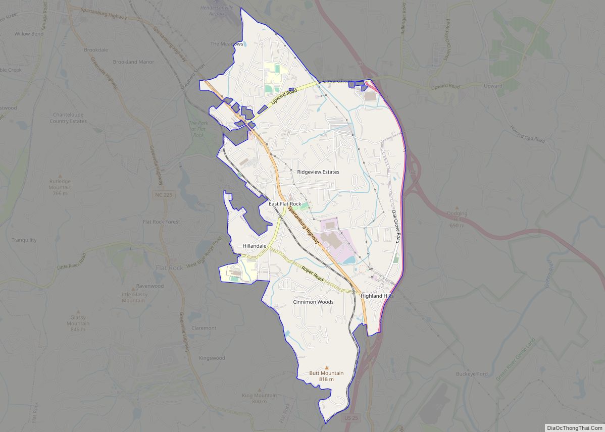
East Flat Rock is an unincorporated area and census-designated place (CDP) in Henderson County, North Carolina, United States. The population was 4,995 at the 2010 census, up from 4,151 at the 2000 census. It is part of the Asheville Metropolitan Statistical Area.
| Name: | East Flat Rock CDP |
|---|---|
| LSAD Code: | 57 |
| LSAD Description: | CDP (suffix) |
| State: | North Carolina |
| County: | Henderson County |
| Incorporated: | 1926 (inactive) |
| Elevation: | 2,201 ft (671 m) |
| Total Area: | 4.29 sq mi (11.11 km²) |
| Land Area: | 4.28 sq mi (11.08 km²) |
| Water Area: | 0.01 sq mi (0.03 km²) |
| Total Population: | 5,757 |
| Population Density: | 1,345.41/sq mi (519.52/km²) |
| ZIP code: | 28726 |
| Area code: | 828 |
| FIPS code: | 3719420 |
| GNISfeature ID: | 0984496 |
Online Interactive Map
Click on ![]() to view map in "full screen" mode.
to view map in "full screen" mode.
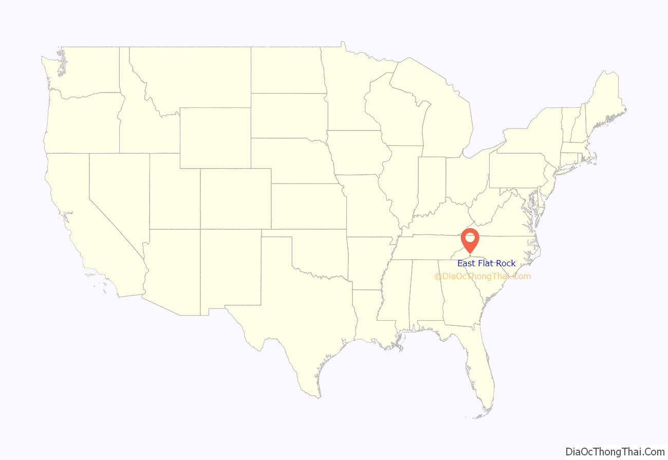
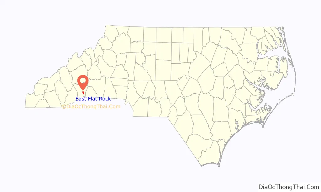
East Flat Rock location map. Where is East Flat Rock CDP?
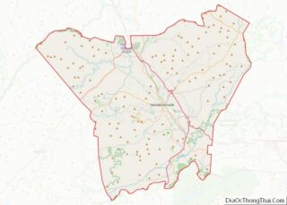
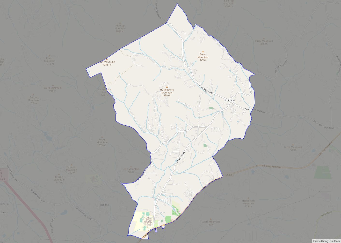
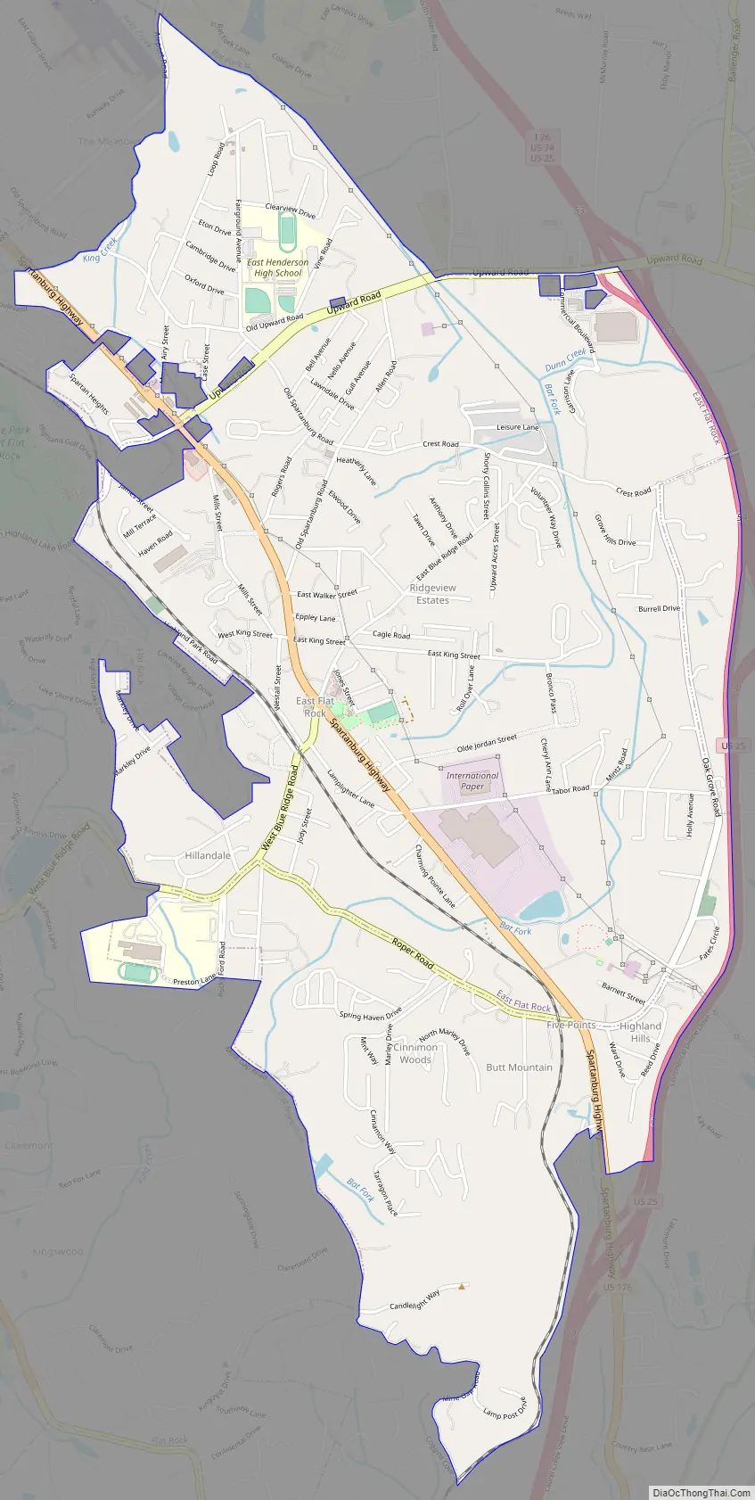
East Flat Rock Road Map
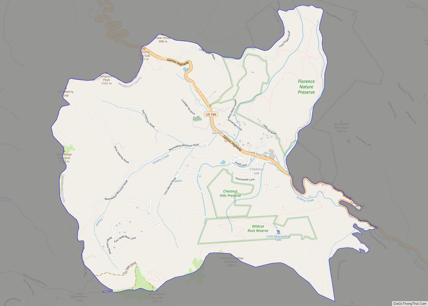
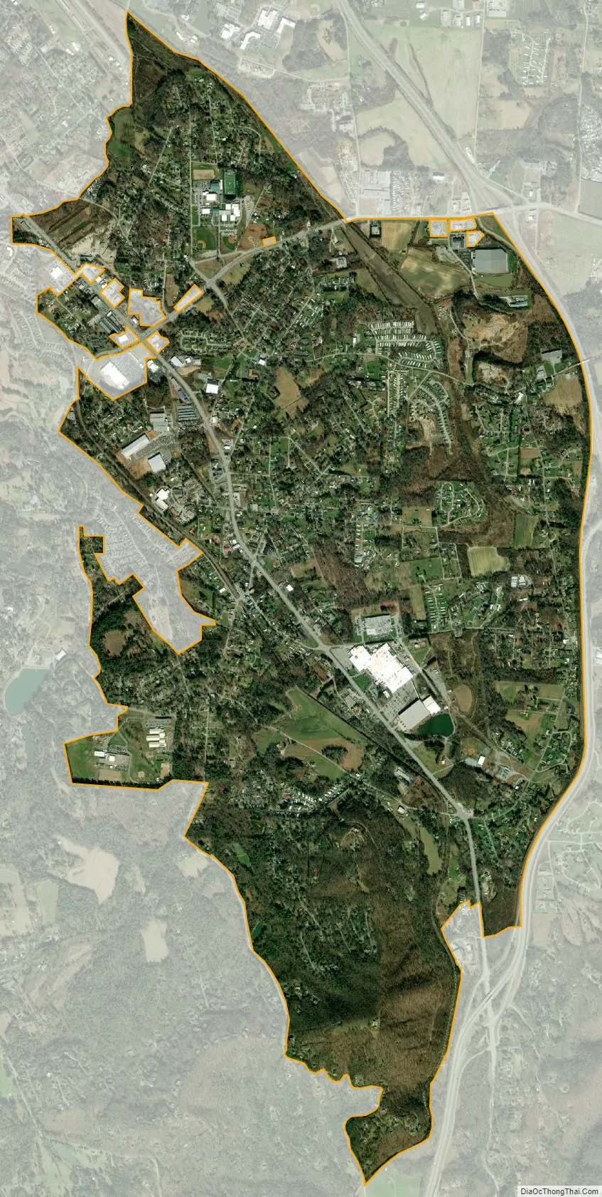
East Flat Rock city Satellite Map
Geography
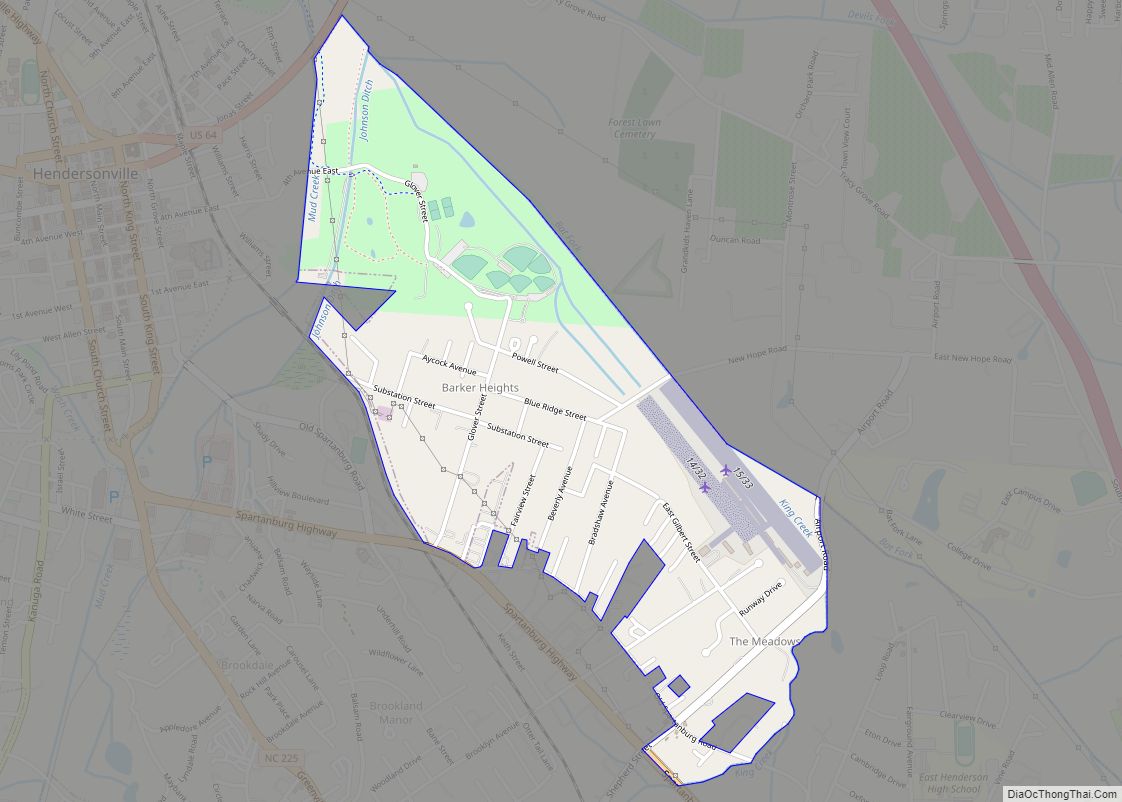
East Flat Rock is located in southeastern Henderson County at 35°17′4″N 82°25′8″W / 35.28444°N 82.41889°W / 35.28444; -82.41889 (35.284583, -82.419013). It is bordered to the west by the village of Flat Rock and to the northwest by unincorporated Barker Heights.
U.S. Route 176 (Spartanburg Highway) is the main road through East Flat Rock, leading northwest 3 miles (5 km) to Hendersonville, the county seat, and southeast 6 miles (10 km) to Saluda. Interstate 26 runs along the eastern edge of the community, with access from Exit 53 (Upward Road). I-26 leads north 27 miles (43 km) to Asheville and southeast 42 miles (68 km) to Spartanburg, South Carolina.
According to the United States Census Bureau, the East Flat Rock CDP has a total area of 4.3 square miles (11.1 km), of which 0.01 square miles (0.03 km), or 0.27%, are water.
See also
Map of North Carolina State and its subdivision:- Alamance
- Alexander
- Alleghany
- Anson
- Ashe
- Avery
- Beaufort
- Bertie
- Bladen
- Brunswick
- Buncombe
- Burke
- Cabarrus
- Caldwell
- Camden
- Carteret
- Caswell
- Catawba
- Chatham
- Cherokee
- Chowan
- Clay
- Cleveland
- Columbus
- Craven
- Cumberland
- Currituck
- Dare
- Davidson
- Davie
- Duplin
- Durham
- Edgecombe
- Forsyth
- Franklin
- Gaston
- Gates
- Graham
- Granville
- Greene
- Guilford
- Halifax
- Harnett
- Haywood
- Henderson
- Hertford
- Hoke
- Hyde
- Iredell
- Jackson
- Johnston
- Jones
- Lee
- Lenoir
- Lincoln
- Macon
- Madison
- Martin
- McDowell
- Mecklenburg
- Mitchell
- Montgomery
- Moore
- Nash
- New Hanover
- Northampton
- Onslow
- Orange
- Pamlico
- Pasquotank
- Pender
- Perquimans
- Person
- Pitt
- Polk
- Randolph
- Richmond
- Robeson
- Rockingham
- Rowan
- Rutherford
- Sampson
- Scotland
- Stanly
- Stokes
- Surry
- Swain
- Transylvania
- Tyrrell
- Union
- Vance
- Wake
- Warren
- Washington
- Watauga
- Wayne
- Wilkes
- Wilson
- Yadkin
- Yancey
- Alabama
- Alaska
- Arizona
- Arkansas
- California
- Colorado
- Connecticut
- Delaware
- District of Columbia
- Florida
- Georgia
- Hawaii
- Idaho
- Illinois
- Indiana
- Iowa
- Kansas
- Kentucky
- Louisiana
- Maine
- Maryland
- Massachusetts
- Michigan
- Minnesota
- Mississippi
- Missouri
- Montana
- Nebraska
- Nevada
- New Hampshire
- New Jersey
- New Mexico
- New York
- North Carolina
- North Dakota
- Ohio
- Oklahoma
- Oregon
- Pennsylvania
- Rhode Island
- South Carolina
- South Dakota
- Tennessee
- Texas
- Utah
- Vermont
- Virginia
- Washington
- West Virginia
- Wisconsin
- Wyoming