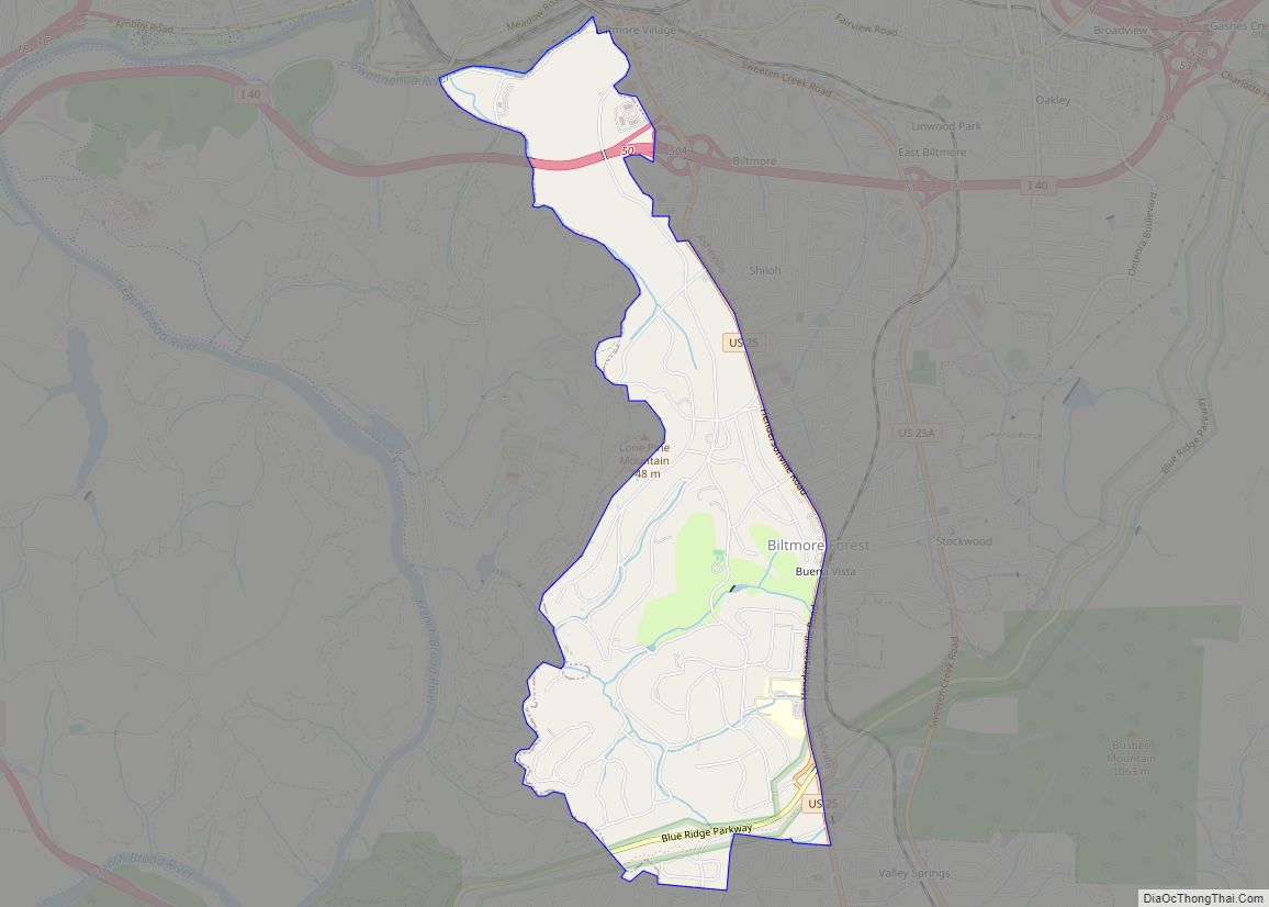
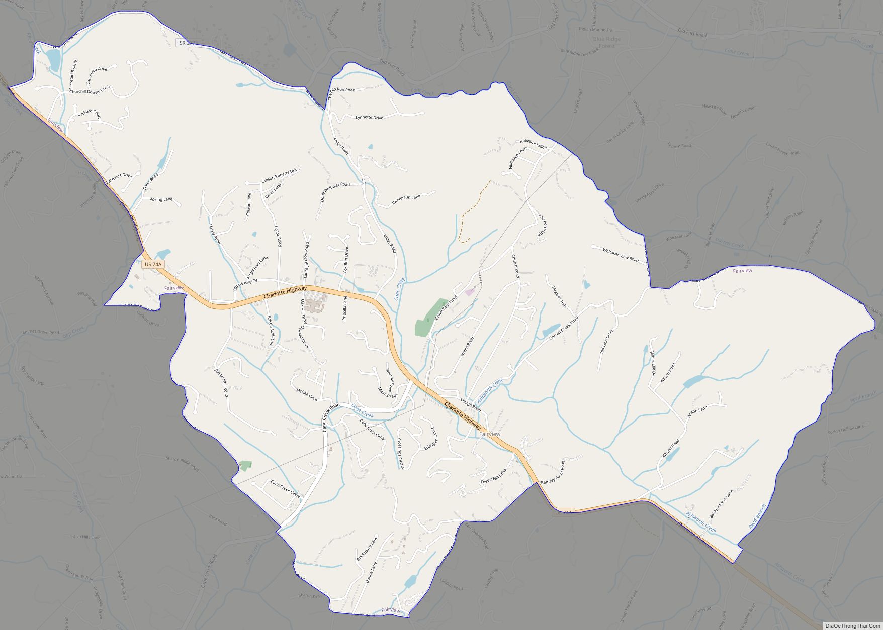
Fairview is a census-designated place (CDP) in Buncombe County, North Carolina, United States. The population was 2,678 at the 2010 census. It is part of the Asheville Metropolitan Statistical Area.
| Name: | Fairview CDP |
|---|---|
| LSAD Code: | 57 |
| LSAD Description: | CDP (suffix) |
| State: | North Carolina |
| County: | Buncombe County |
| Elevation: | 2,208 ft (673 m) |
| Total Area: | 6.22 sq mi (16.12 km²) |
| Land Area: | 6.22 sq mi (16.12 km²) |
| Water Area: | 0.00 sq mi (0.00 km²) |
| Total Population: | 2,771 |
| Population Density: | 445.21/sq mi (171.91/km²) |
| ZIP code: | 28730 |
| FIPS code: | 3722440 |
| GNISfeature ID: | 1020197 |
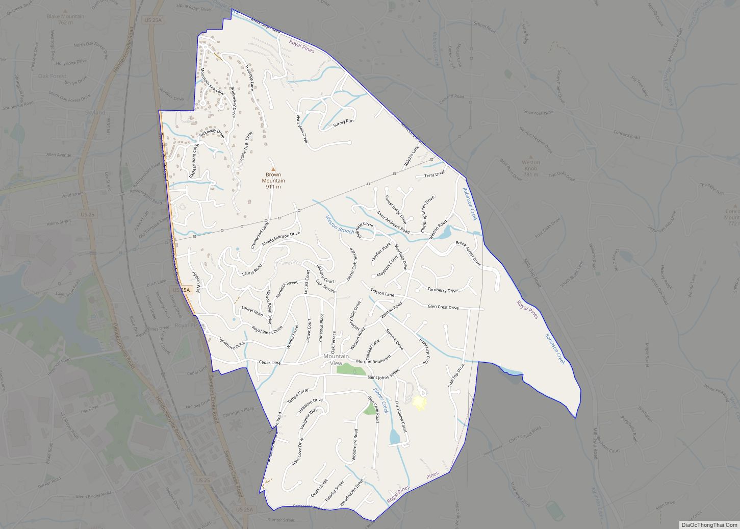
Online Interactive Map
Click on ![]() to view map in "full screen" mode.
to view map in "full screen" mode.
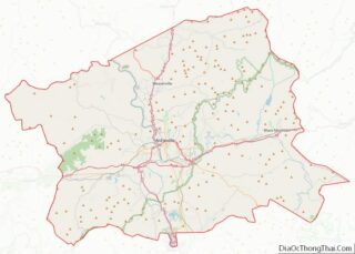
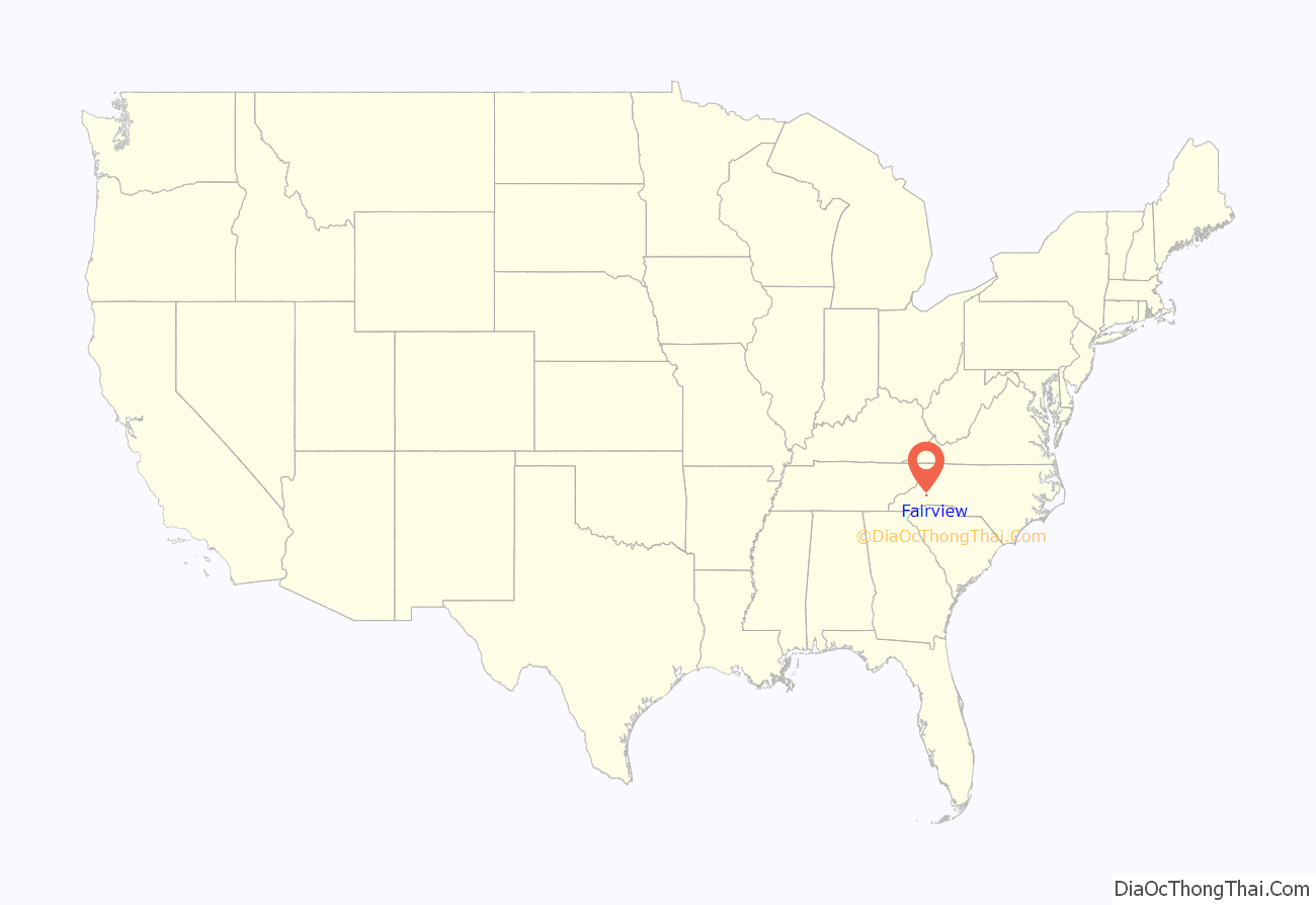
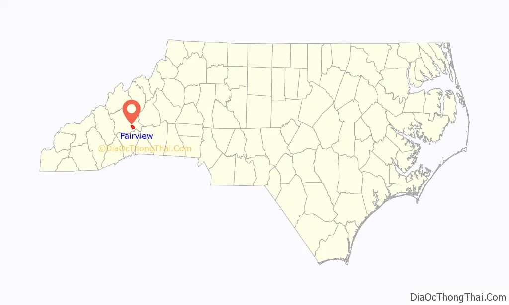
Fairview location map. Where is Fairview CDP?
History
The William Nelson Camp Jr. House, John A. Lanning House, Dr. Cireo McAfee McCracken House, and Sherrill’s Inn are listed on the National Register of Historic Places.
Martin Gash bought 76 acres on Cripple Creek (later Gash’s Creek) on November 27, 1793. Marshes which attracted buffalo had to be drained in order to use the land.
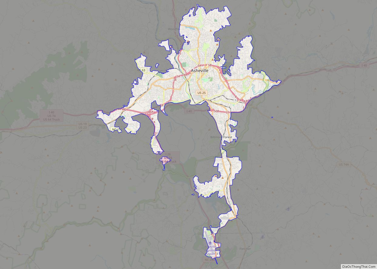
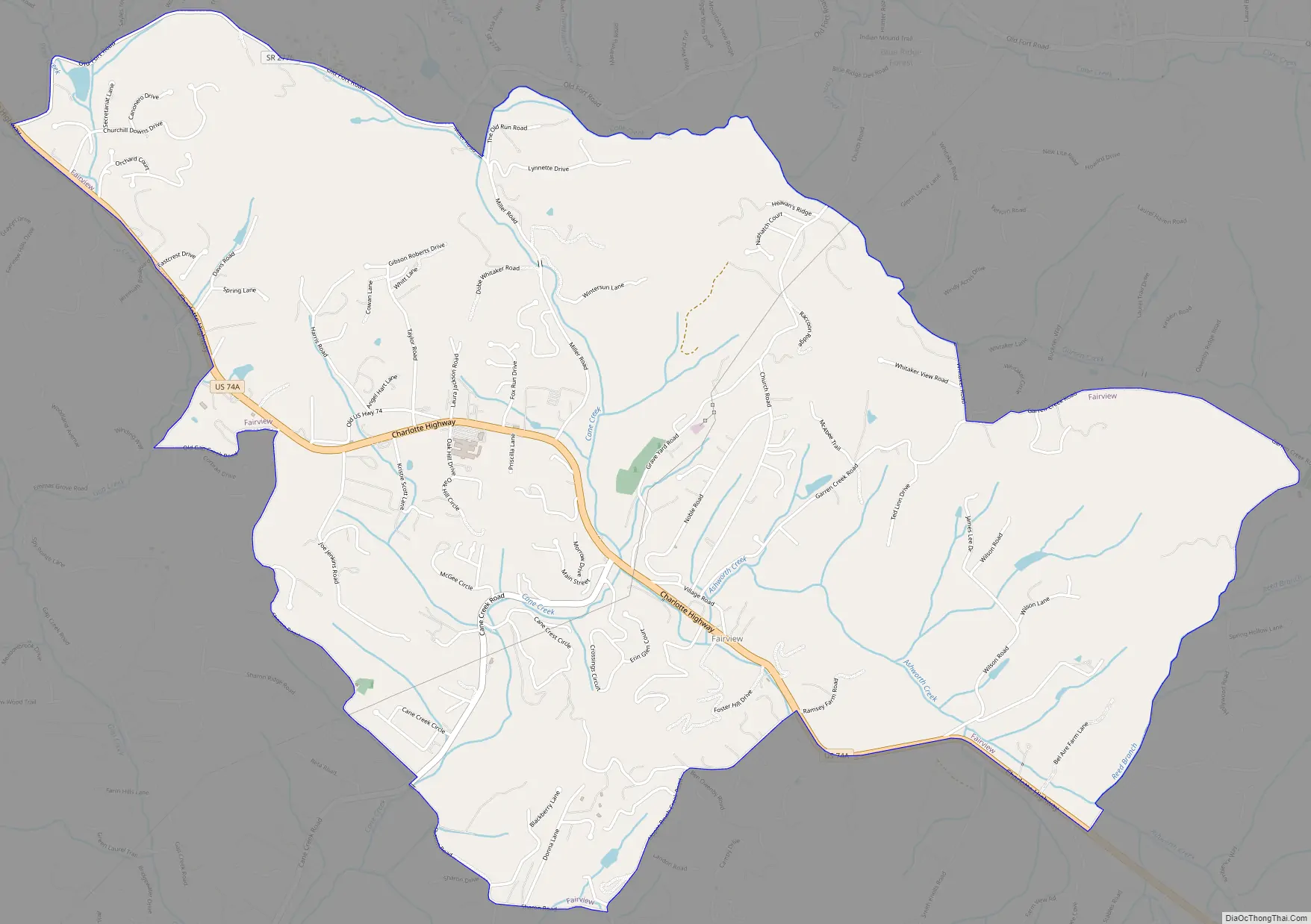
Fairview Road Map
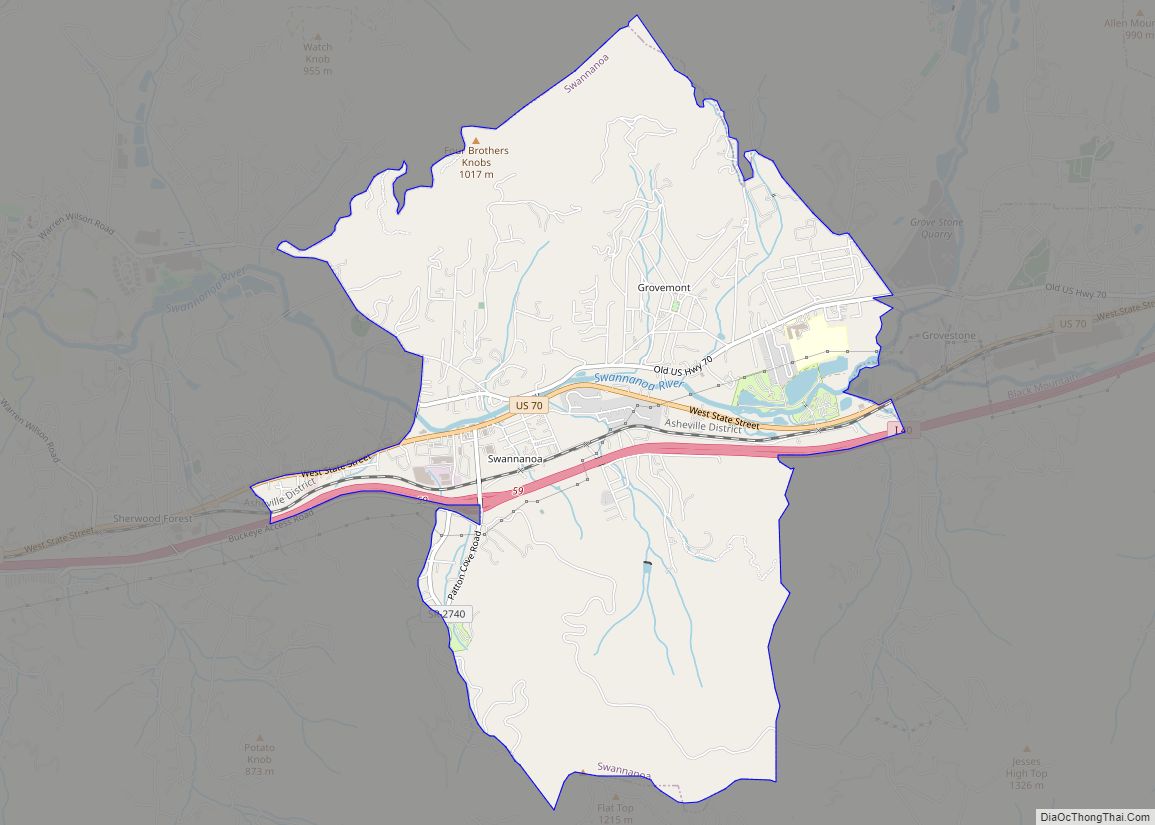
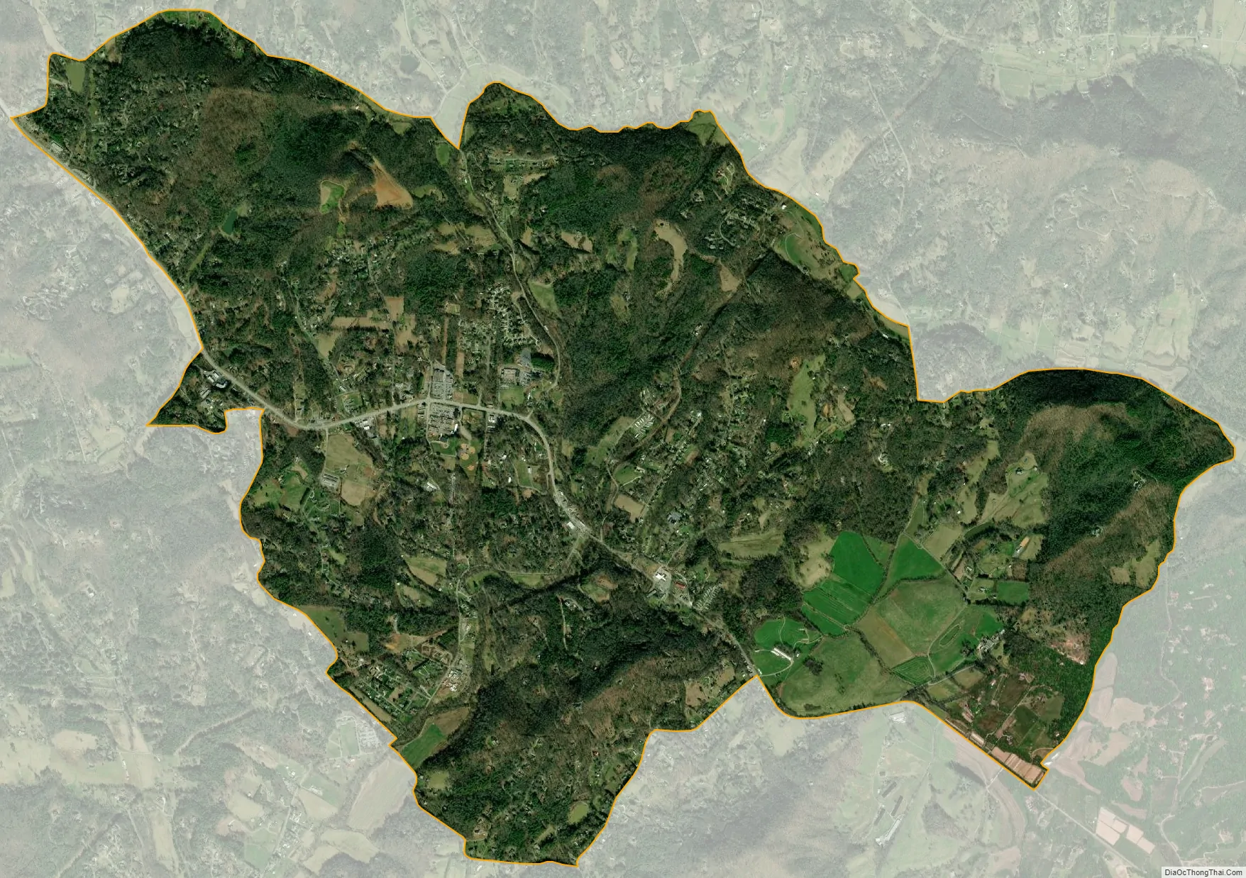
Fairview city Satellite Map
Geography
Fairview is located in southeastern Buncombe County along U.S. Route 74A (Charlotte Highway). It is 11 miles (18 km) southeast of downtown Asheville and 16 miles (26 km) northwest of Lake Lure.
According to the United States Census Bureau, the CDP has a total area of 6.2 square miles (16.1 km), all land.
See also
Map of North Carolina State and its subdivision:- Alamance
- Alexander
- Alleghany
- Anson
- Ashe
- Avery
- Beaufort
- Bertie
- Bladen
- Brunswick
- Buncombe
- Burke
- Cabarrus
- Caldwell
- Camden
- Carteret
- Caswell
- Catawba
- Chatham
- Cherokee
- Chowan
- Clay
- Cleveland
- Columbus
- Craven
- Cumberland
- Currituck
- Dare
- Davidson
- Davie
- Duplin
- Durham
- Edgecombe
- Forsyth
- Franklin
- Gaston
- Gates
- Graham
- Granville
- Greene
- Guilford
- Halifax
- Harnett
- Haywood
- Henderson
- Hertford
- Hoke
- Hyde
- Iredell
- Jackson
- Johnston
- Jones
- Lee
- Lenoir
- Lincoln
- Macon
- Madison
- Martin
- McDowell
- Mecklenburg
- Mitchell
- Montgomery
- Moore
- Nash
- New Hanover
- Northampton
- Onslow
- Orange
- Pamlico
- Pasquotank
- Pender
- Perquimans
- Person
- Pitt
- Polk
- Randolph
- Richmond
- Robeson
- Rockingham
- Rowan
- Rutherford
- Sampson
- Scotland
- Stanly
- Stokes
- Surry
- Swain
- Transylvania
- Tyrrell
- Union
- Vance
- Wake
- Warren
- Washington
- Watauga
- Wayne
- Wilkes
- Wilson
- Yadkin
- Yancey
- Alabama
- Alaska
- Arizona
- Arkansas
- California
- Colorado
- Connecticut
- Delaware
- District of Columbia
- Florida
- Georgia
- Hawaii
- Idaho
- Illinois
- Indiana
- Iowa
- Kansas
- Kentucky
- Louisiana
- Maine
- Maryland
- Massachusetts
- Michigan
- Minnesota
- Mississippi
- Missouri
- Montana
- Nebraska
- Nevada
- New Hampshire
- New Jersey
- New Mexico
- New York
- North Carolina
- North Dakota
- Ohio
- Oklahoma
- Oregon
- Pennsylvania
- Rhode Island
- South Carolina
- South Dakota
- Tennessee
- Texas
- Utah
- Vermont
- Virginia
- Washington
- West Virginia
- Wisconsin
- Wyoming