Forest Hills is a village in Jackson County, North Carolina, United States. The population was 365 at the 2010 census. Formerly a neighborhood within nearby unincorporated Cullowhee, it became incorporated in 1997.
| Name: | Forest Hills village |
|---|---|
| LSAD Code: | 47 |
| LSAD Description: | village (suffix) |
| State: | North Carolina |
| County: | Jackson County |
| Elevation: | 2,300 ft (701 m) |
| Total Area: | 0.50 sq mi (1.28 km²) |
| Land Area: | 0.50 sq mi (1.28 km²) |
| Water Area: | 0.00 sq mi (0.00 km²) |
| Total Population: | 303 |
| Population Density: | 610.89/sq mi (236.02/km²) |
| ZIP code: | 28723 |
| Area code: | 828 |
| FIPS code: | 3724170 |
| GNISfeature ID: | 1853435 |
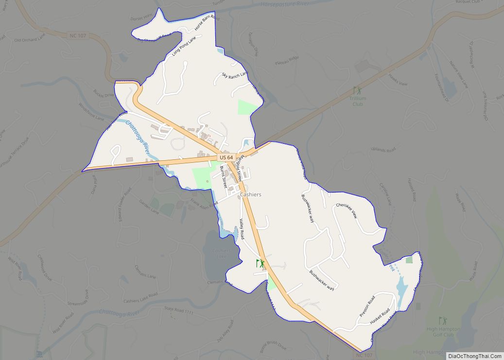
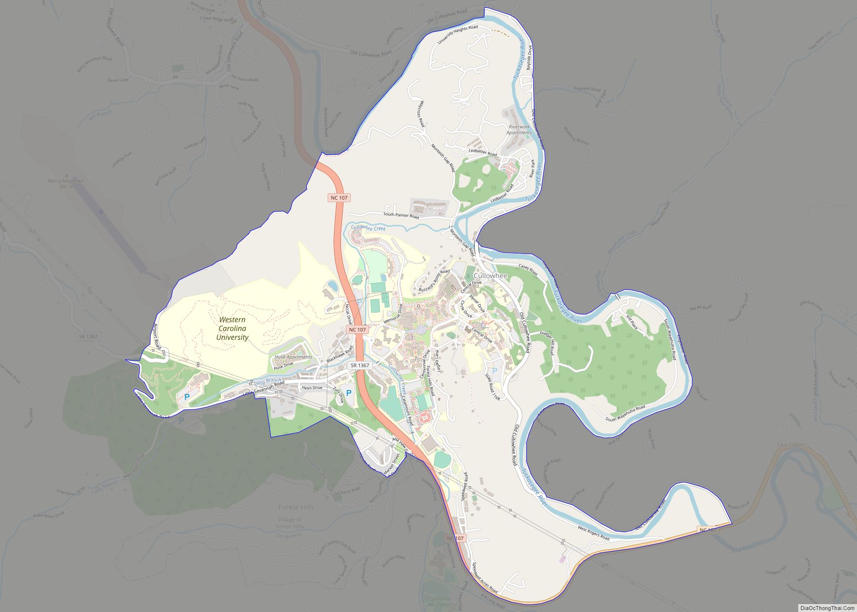
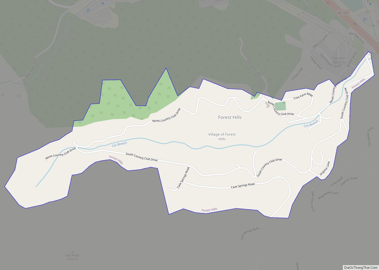
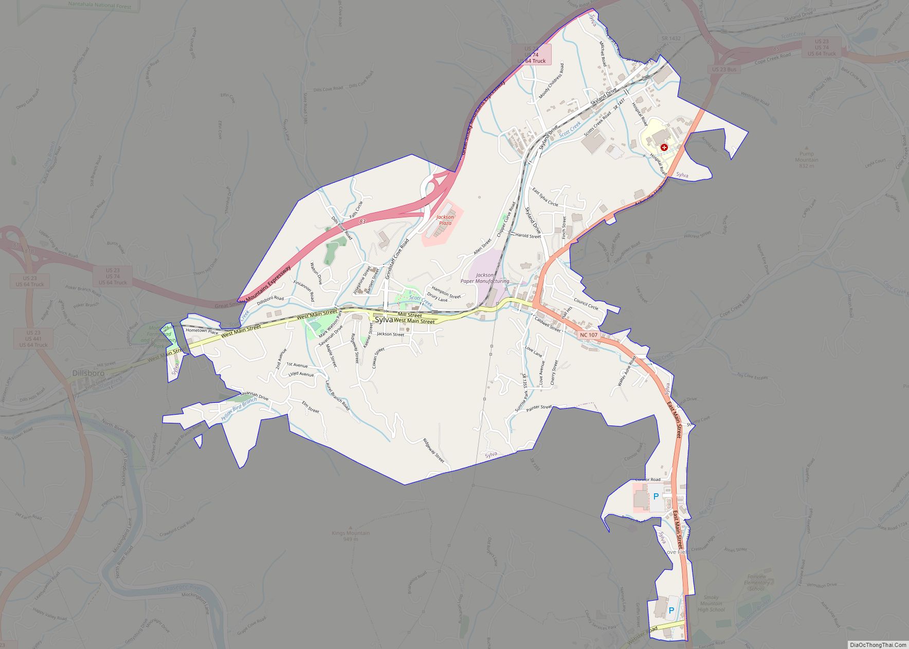
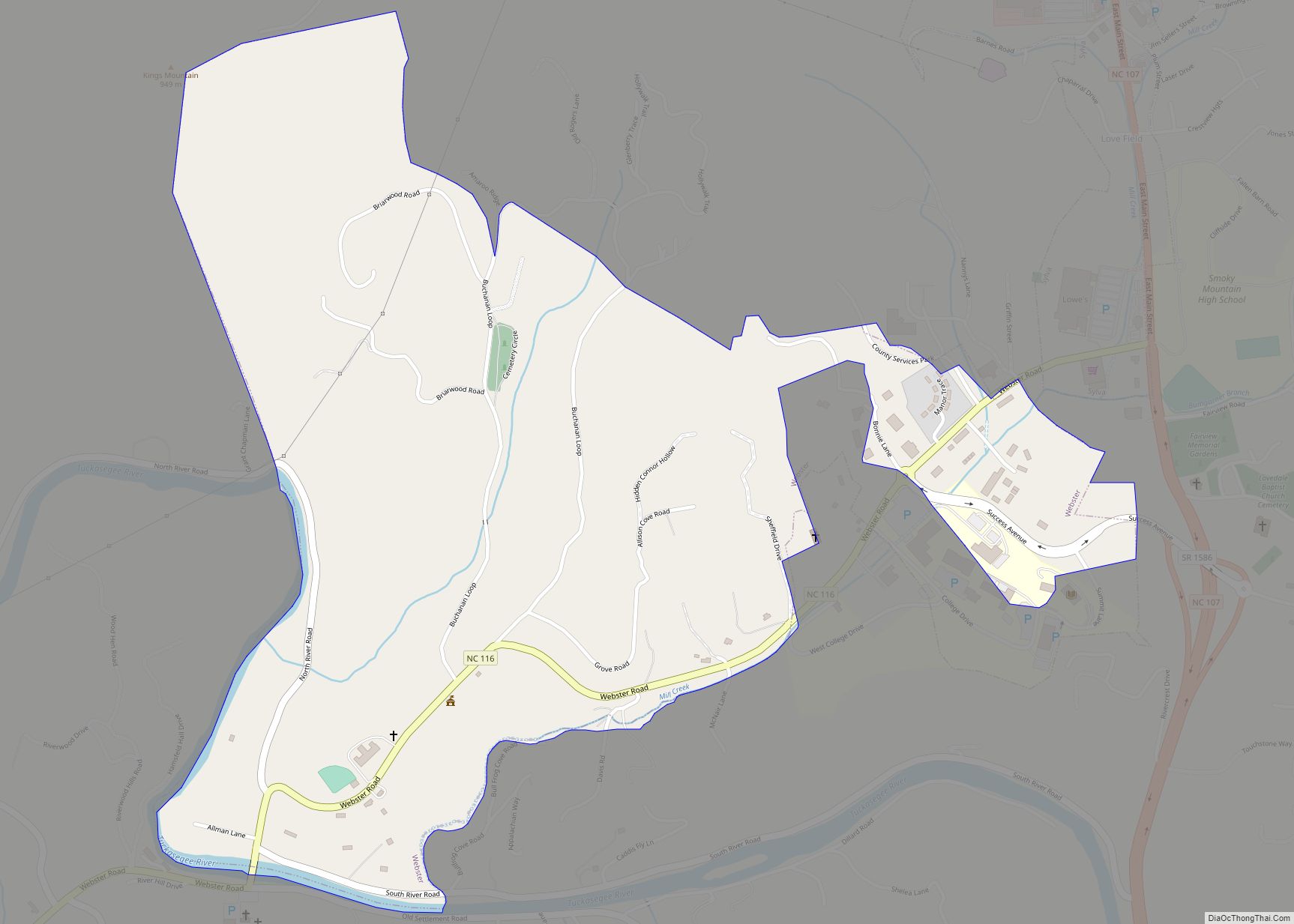
Online Interactive Map
Click on ![]() to view map in "full screen" mode.
to view map in "full screen" mode.
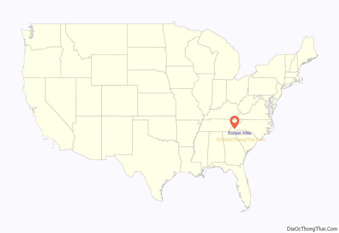
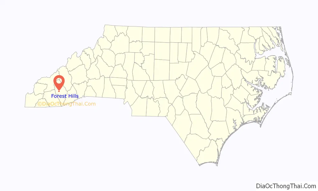
Forest Hills location map. Where is Forest Hills village?
History
The area now known as Forest Hills was named for the late 19th-century home of David D. Davies; it was once part of the large estate that he acquired in 1855, buying 2,000 acres (8.1 km). His property made up the territory of what is now a large part of the village.
Forest Hill was a large Victorian mansion built with a commanding view of the Cullowhee Valley. Later, the area became known as the Cox Farm, for a later owner. The mansion of Forest Hill was demolished in the 1980s, soon after developers began to construct housing here for the neighborhood to be known as Forest Hills.
Formerly, the Forest Hills Country Club occupied a large swath of land in the village, but this property is now mostly blighted and vacant. A motor lodge was built just above the middle of the golf course. This facility also rents some apartments to students.
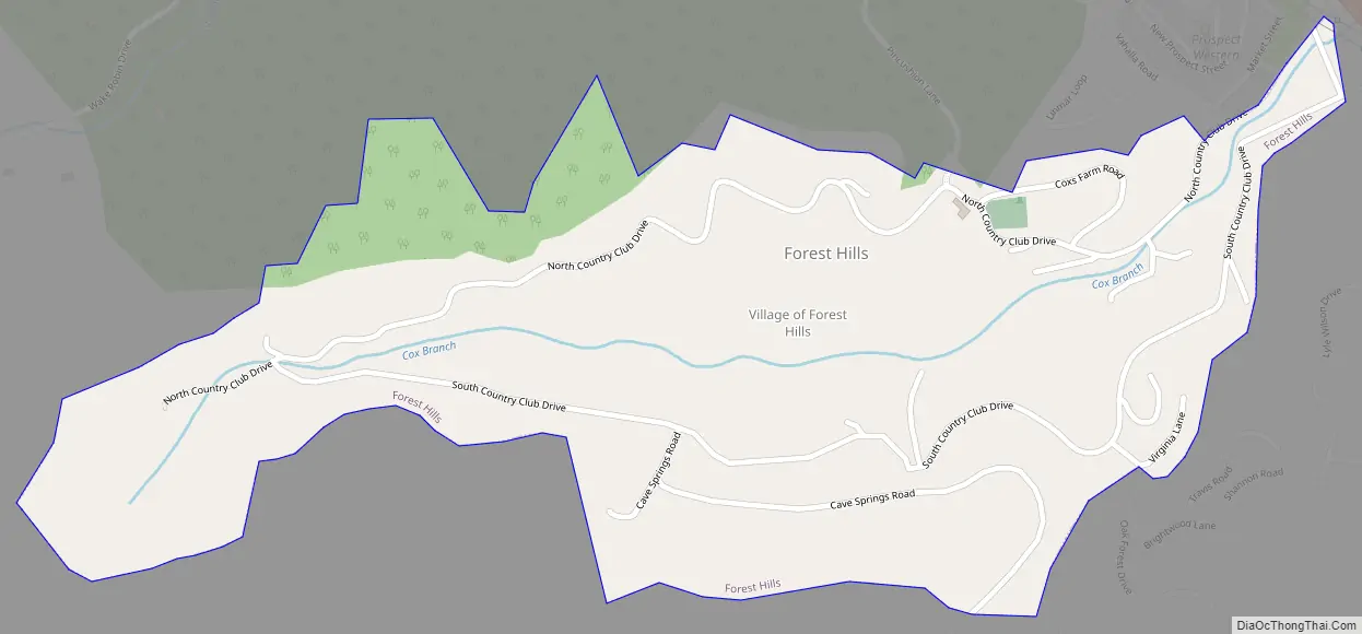
Forest Hills Road Map
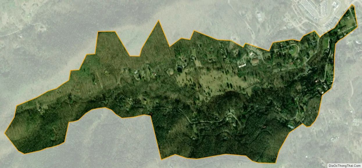
Forest Hills city Satellite Map
Geography
Forest Hills is located at 35°17′50″N 83°11′37″W / 35.29722°N 83.19361°W / 35.29722; -83.19361 (35.297208, -83.193705).
According to the United States Census Bureau, the village has a total area of 0.5 square miles (1.3 km), all land.
See also
Map of North Carolina State and its subdivision:- Alamance
- Alexander
- Alleghany
- Anson
- Ashe
- Avery
- Beaufort
- Bertie
- Bladen
- Brunswick
- Buncombe
- Burke
- Cabarrus
- Caldwell
- Camden
- Carteret
- Caswell
- Catawba
- Chatham
- Cherokee
- Chowan
- Clay
- Cleveland
- Columbus
- Craven
- Cumberland
- Currituck
- Dare
- Davidson
- Davie
- Duplin
- Durham
- Edgecombe
- Forsyth
- Franklin
- Gaston
- Gates
- Graham
- Granville
- Greene
- Guilford
- Halifax
- Harnett
- Haywood
- Henderson
- Hertford
- Hoke
- Hyde
- Iredell
- Jackson
- Johnston
- Jones
- Lee
- Lenoir
- Lincoln
- Macon
- Madison
- Martin
- McDowell
- Mecklenburg
- Mitchell
- Montgomery
- Moore
- Nash
- New Hanover
- Northampton
- Onslow
- Orange
- Pamlico
- Pasquotank
- Pender
- Perquimans
- Person
- Pitt
- Polk
- Randolph
- Richmond
- Robeson
- Rockingham
- Rowan
- Rutherford
- Sampson
- Scotland
- Stanly
- Stokes
- Surry
- Swain
- Transylvania
- Tyrrell
- Union
- Vance
- Wake
- Warren
- Washington
- Watauga
- Wayne
- Wilkes
- Wilson
- Yadkin
- Yancey
- Alabama
- Alaska
- Arizona
- Arkansas
- California
- Colorado
- Connecticut
- Delaware
- District of Columbia
- Florida
- Georgia
- Hawaii
- Idaho
- Illinois
- Indiana
- Iowa
- Kansas
- Kentucky
- Louisiana
- Maine
- Maryland
- Massachusetts
- Michigan
- Minnesota
- Mississippi
- Missouri
- Montana
- Nebraska
- Nevada
- New Hampshire
- New Jersey
- New Mexico
- New York
- North Carolina
- North Dakota
- Ohio
- Oklahoma
- Oregon
- Pennsylvania
- Rhode Island
- South Carolina
- South Dakota
- Tennessee
- Texas
- Utah
- Vermont
- Virginia
- Washington
- West Virginia
- Wisconsin
- Wyoming