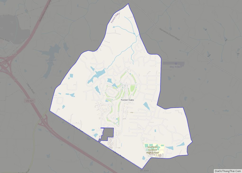
Forest Oaks is a census-designated place (CDP) in Guilford County, North Carolina, United States. The population was 3,890 as of the 2010 census, up from 3,241 in 2000.
| Name: | Forest Oaks CDP |
|---|---|
| LSAD Code: | 57 |
| LSAD Description: | CDP (suffix) |
| State: | North Carolina |
| County: | Guilford County |
| Elevation: | 771 ft (235 m) |
| Total Area: | 4.90 sq mi (12.69 km²) |
| Land Area: | 4.80 sq mi (12.43 km²) |
| Water Area: | 0.10 sq mi (0.26 km²) |
| Total Population: | 4,209 |
| Population Density: | 877.06/sq mi (338.64/km²) |
| ZIP code: | 27406 |
| Area code: | 336 |
| FIPS code: | 3724198 |
| GNISfeature ID: | 1867429 |
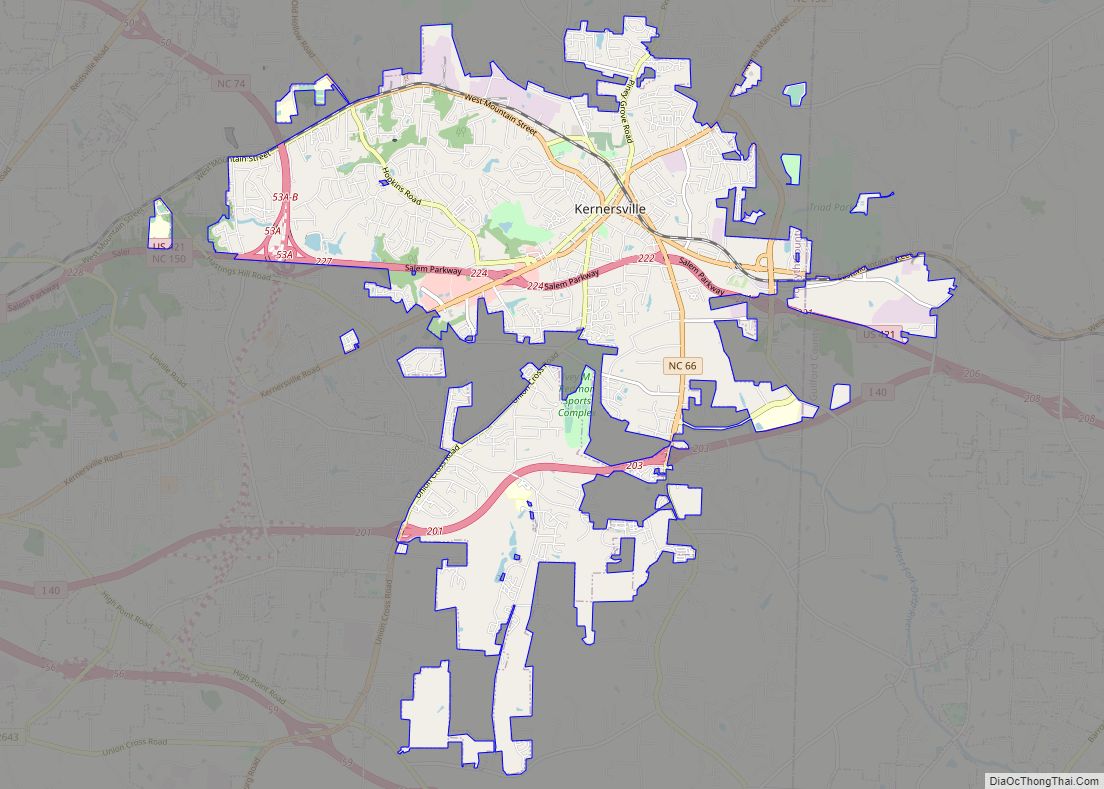
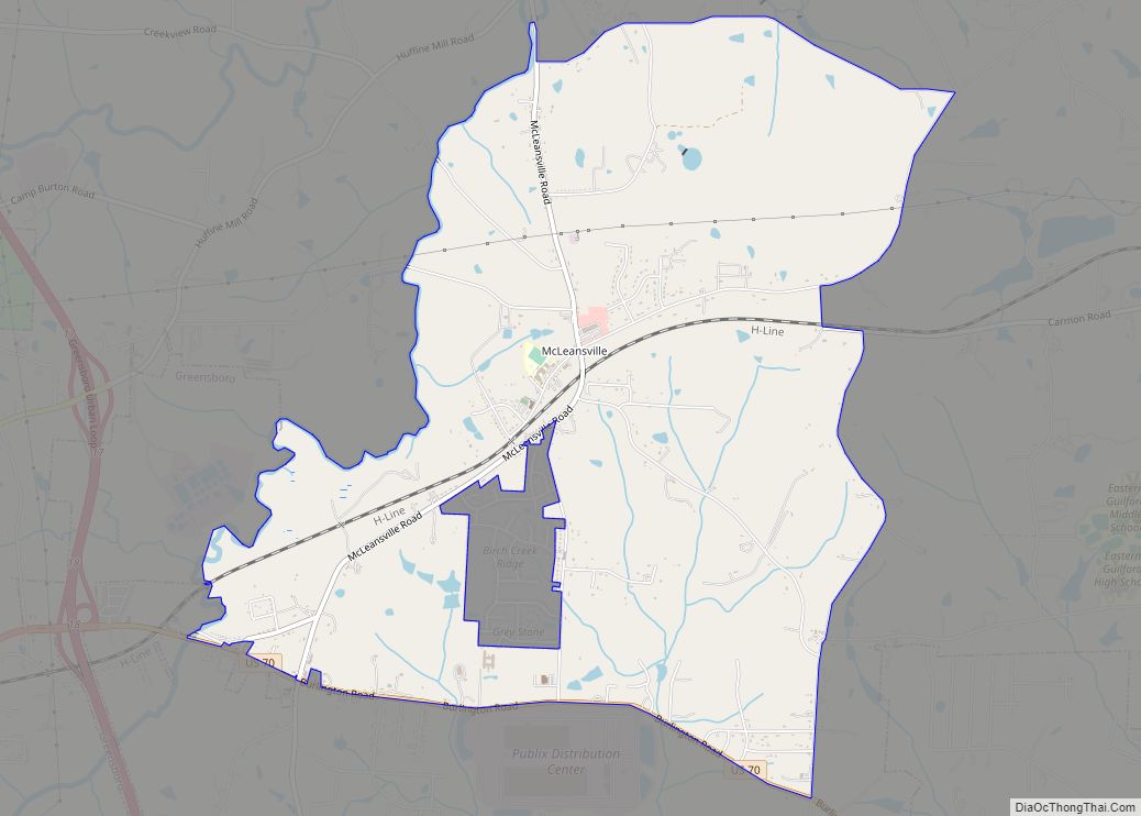
Online Interactive Map
Click on ![]() to view map in "full screen" mode.
to view map in "full screen" mode.
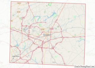
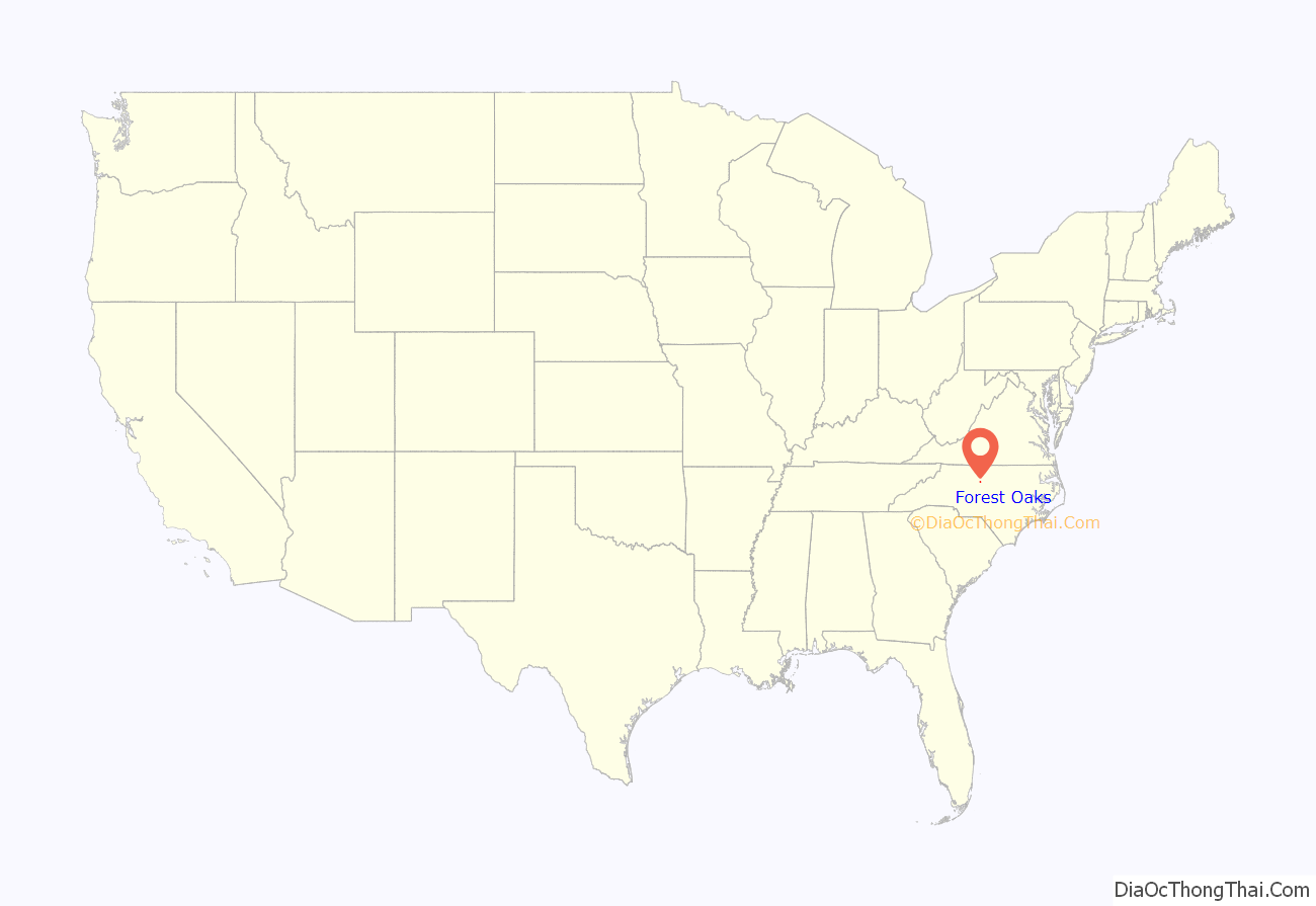
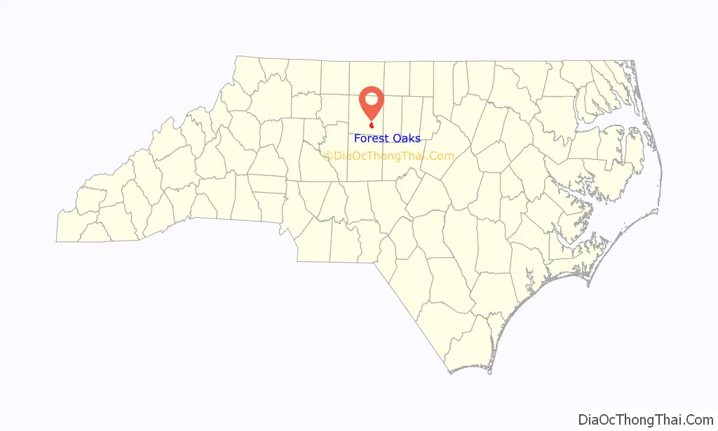
Forest Oaks location map. Where is Forest Oaks CDP?
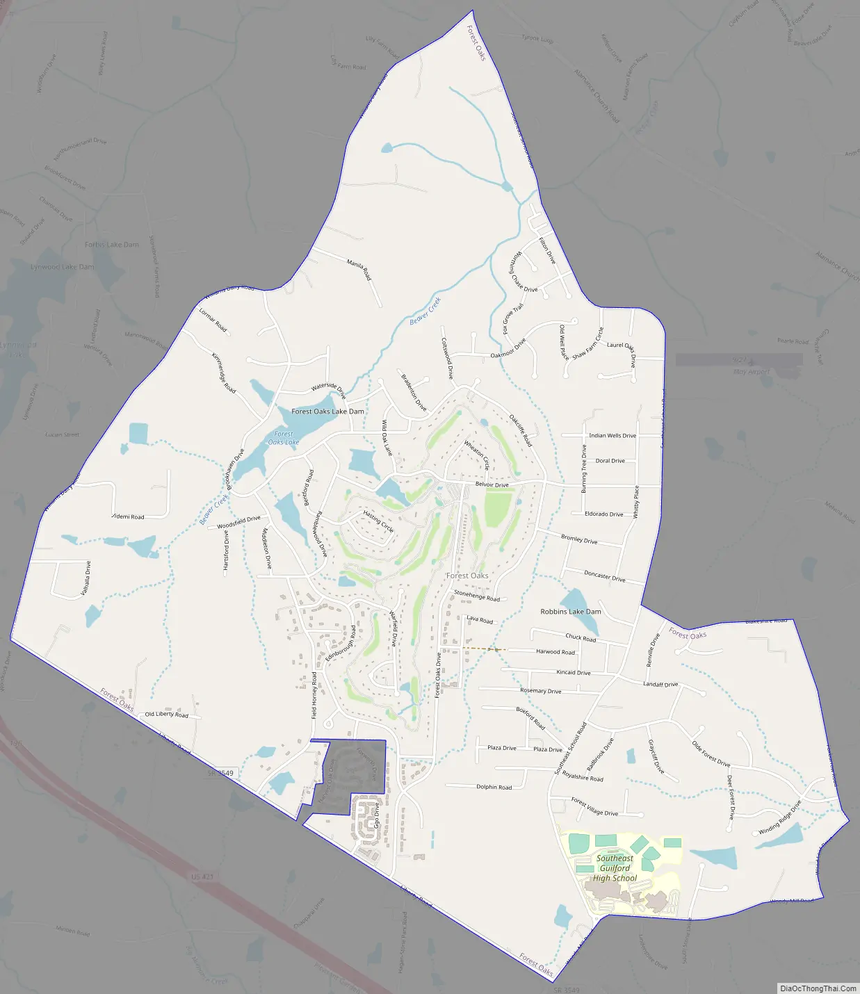
Forest Oaks Road Map
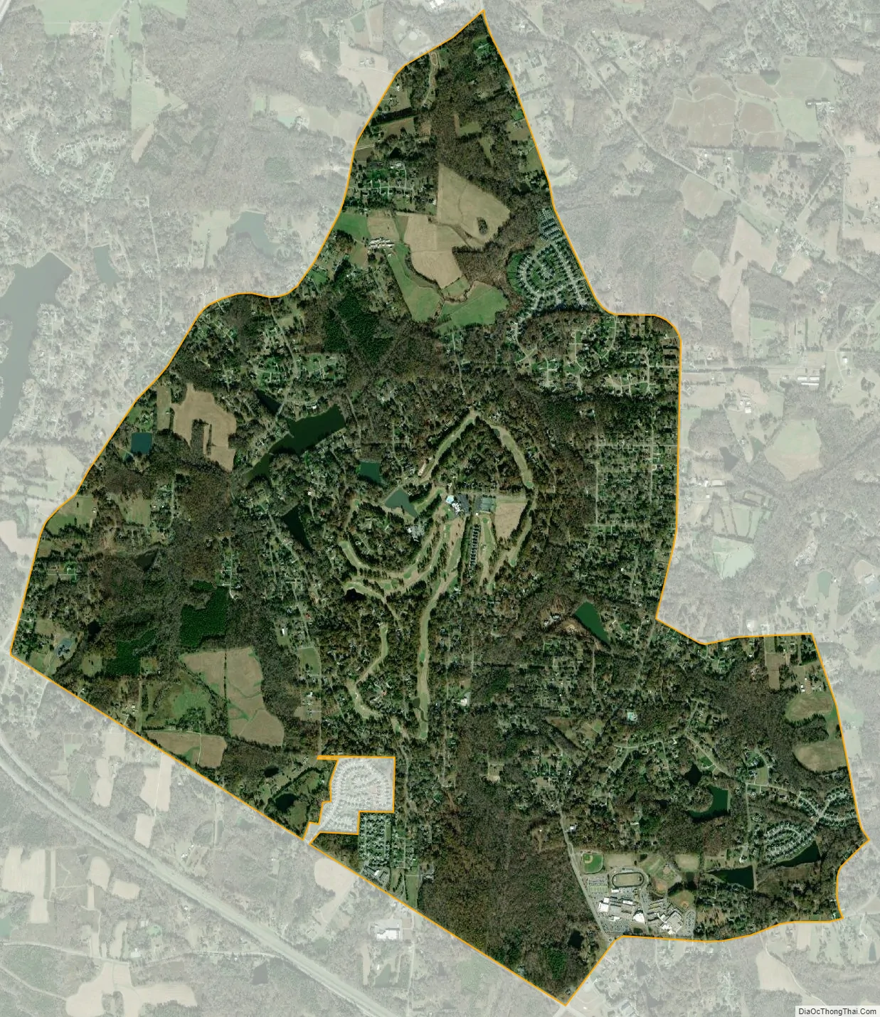
Forest Oaks city Satellite Map
Geography
Forest Oaks is located in southeastern Guilford County at 35°59′1″N 79°42′17″W / 35.98361°N 79.70472°W / 35.98361; -79.70472 (35.983663, -79.704720). At the center of the CDP is the Forest Oaks Country Club. The community is 10 miles (16 km) southeast of downtown Greensboro. The town is also known for Southeast Guilford Middle and High Schools, and is bordered to the west by Joseph M. Hunt Highway (U.S. Route 421).
According to the United States Census Bureau, the CDP has a total area of 4.9 square miles (12.8 km), of which 4.9 square miles (12.6 km) is land and 0.1 square miles (0.3 km), or 2.13%, is water. The majority of the CDP drains to Beaver Creek, a northeastward-flowing tributary of Little Alamance Creek and part of the Great Alamance Creek–Haw River–Cape Fear River watershed.
See also
Map of North Carolina State and its subdivision:- Alamance
- Alexander
- Alleghany
- Anson
- Ashe
- Avery
- Beaufort
- Bertie
- Bladen
- Brunswick
- Buncombe
- Burke
- Cabarrus
- Caldwell
- Camden
- Carteret
- Caswell
- Catawba
- Chatham
- Cherokee
- Chowan
- Clay
- Cleveland
- Columbus
- Craven
- Cumberland
- Currituck
- Dare
- Davidson
- Davie
- Duplin
- Durham
- Edgecombe
- Forsyth
- Franklin
- Gaston
- Gates
- Graham
- Granville
- Greene
- Guilford
- Halifax
- Harnett
- Haywood
- Henderson
- Hertford
- Hoke
- Hyde
- Iredell
- Jackson
- Johnston
- Jones
- Lee
- Lenoir
- Lincoln
- Macon
- Madison
- Martin
- McDowell
- Mecklenburg
- Mitchell
- Montgomery
- Moore
- Nash
- New Hanover
- Northampton
- Onslow
- Orange
- Pamlico
- Pasquotank
- Pender
- Perquimans
- Person
- Pitt
- Polk
- Randolph
- Richmond
- Robeson
- Rockingham
- Rowan
- Rutherford
- Sampson
- Scotland
- Stanly
- Stokes
- Surry
- Swain
- Transylvania
- Tyrrell
- Union
- Vance
- Wake
- Warren
- Washington
- Watauga
- Wayne
- Wilkes
- Wilson
- Yadkin
- Yancey
- Alabama
- Alaska
- Arizona
- Arkansas
- California
- Colorado
- Connecticut
- Delaware
- District of Columbia
- Florida
- Georgia
- Hawaii
- Idaho
- Illinois
- Indiana
- Iowa
- Kansas
- Kentucky
- Louisiana
- Maine
- Maryland
- Massachusetts
- Michigan
- Minnesota
- Mississippi
- Missouri
- Montana
- Nebraska
- Nevada
- New Hampshire
- New Jersey
- New Mexico
- New York
- North Carolina
- North Dakota
- Ohio
- Oklahoma
- Oregon
- Pennsylvania
- Rhode Island
- South Carolina
- South Dakota
- Tennessee
- Texas
- Utah
- Vermont
- Virginia
- Washington
- West Virginia
- Wisconsin
- Wyoming