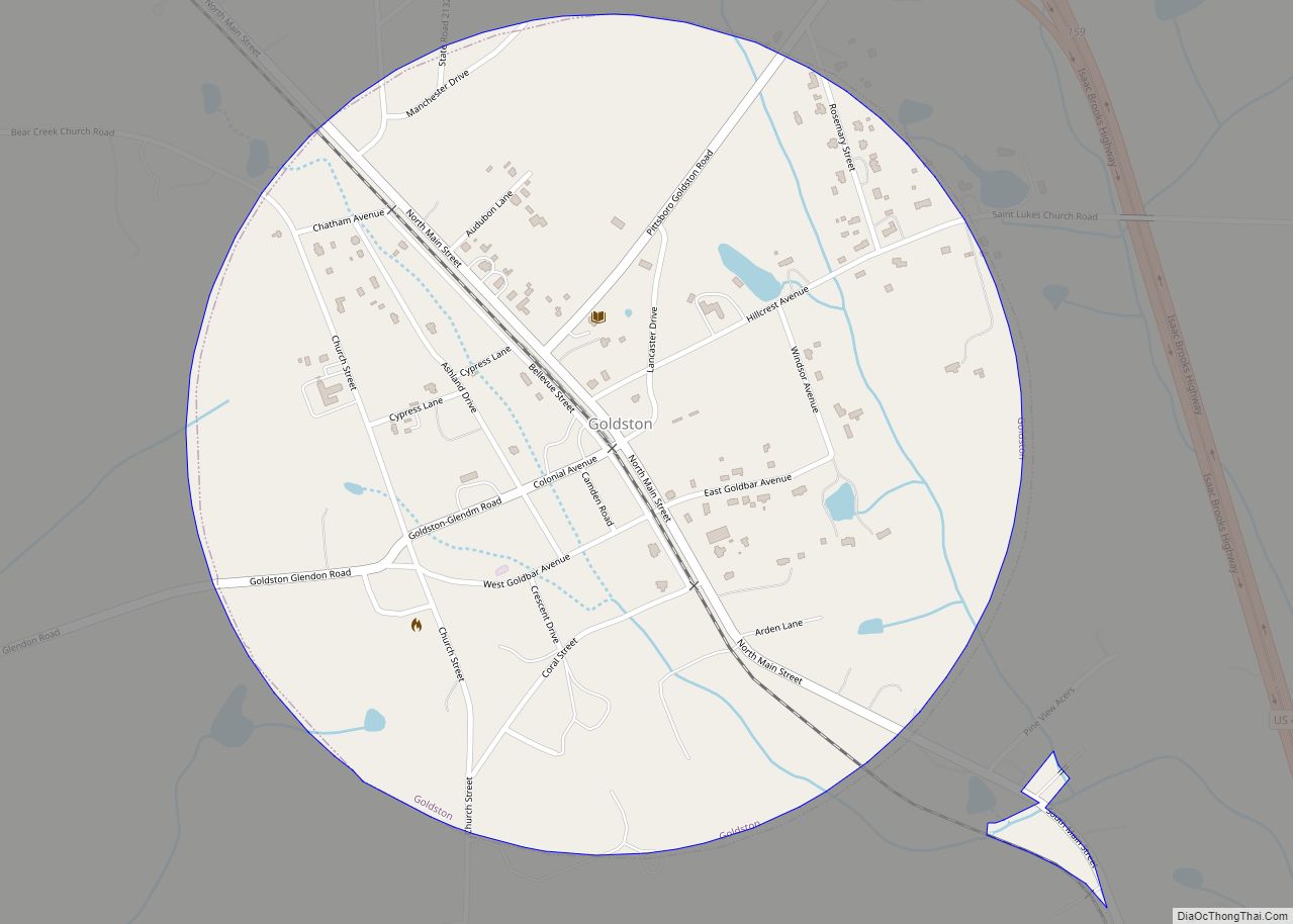
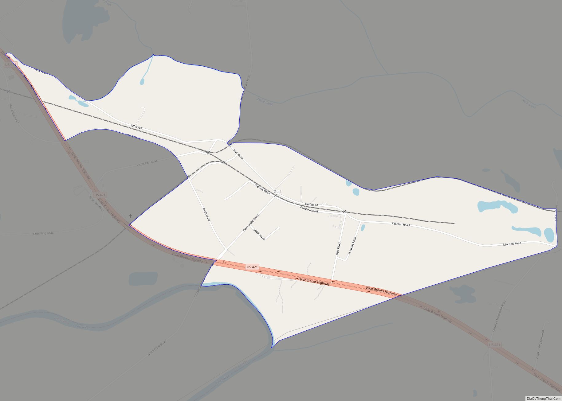
Gulf is an unincorporated community and census-designated place (CDP) in southwestern Chatham County, North Carolina, United States, southeast of the town of Goldston. As of the 2010 census, the Gulf CDP had a population of 144. The community is home to a general store and several historic homes. It received its name from its location at a wide bend in the Deep River.
Gulf is an interconnection point between the Norfolk Southern Railway and the Aberdeen, Carolina and Western Railway.
| Name: | Gulf CDP |
|---|---|
| LSAD Code: | 57 |
| LSAD Description: | CDP (suffix) |
| State: | North Carolina |
| County: | Chatham County |
| Elevation: | 272 ft (83 m) |
| Total Area: | 0.92 sq mi (2.38 km²) |
| Land Area: | 0.91 sq mi (2.35 km²) |
| Water Area: | 0.01 sq mi (0.03 km²) |
| Total Population: | 122 |
| Population Density: | 134.36/sq mi (51.85/km²) |
| ZIP code: | 27256 |
| FIPS code: | 3728600 |
| GNISfeature ID: | 1020575 |
Online Interactive Map
Click on ![]() to view map in "full screen" mode.
to view map in "full screen" mode.
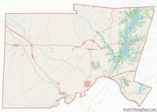
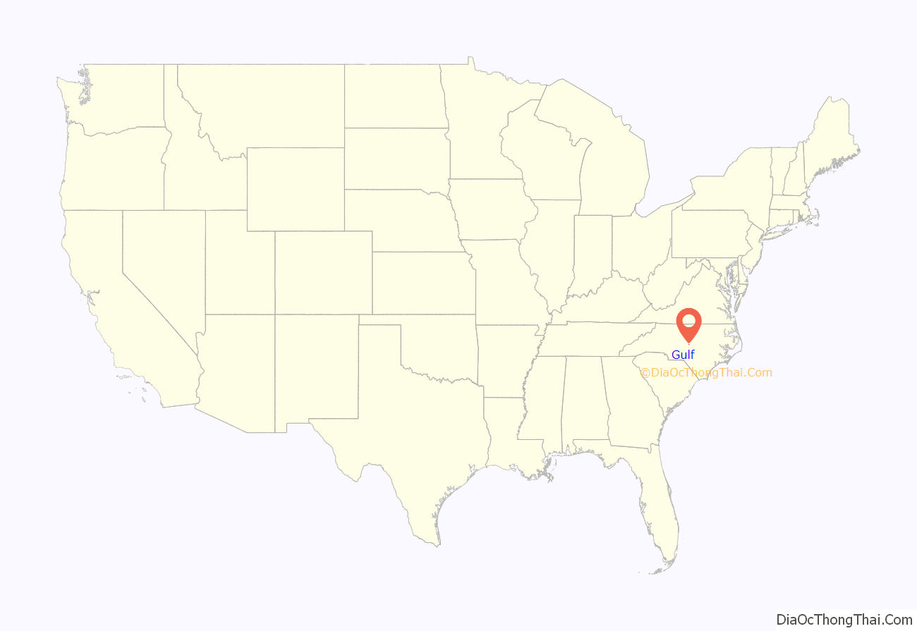
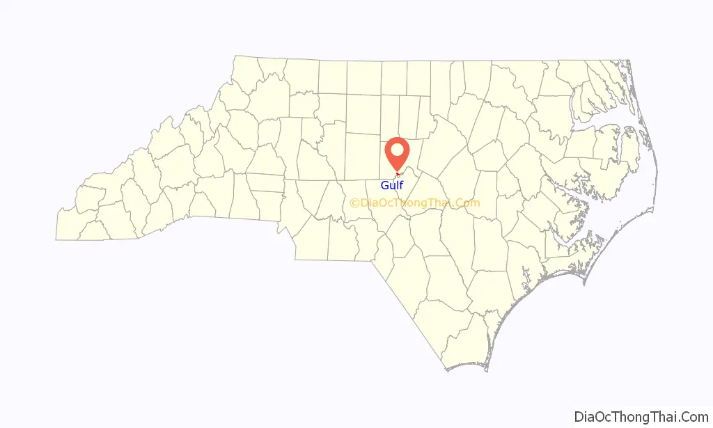
Gulf location map. Where is Gulf CDP?
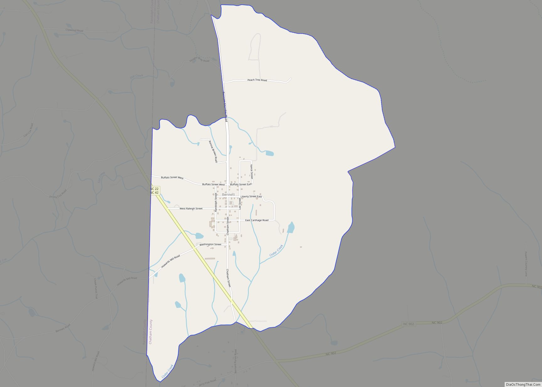
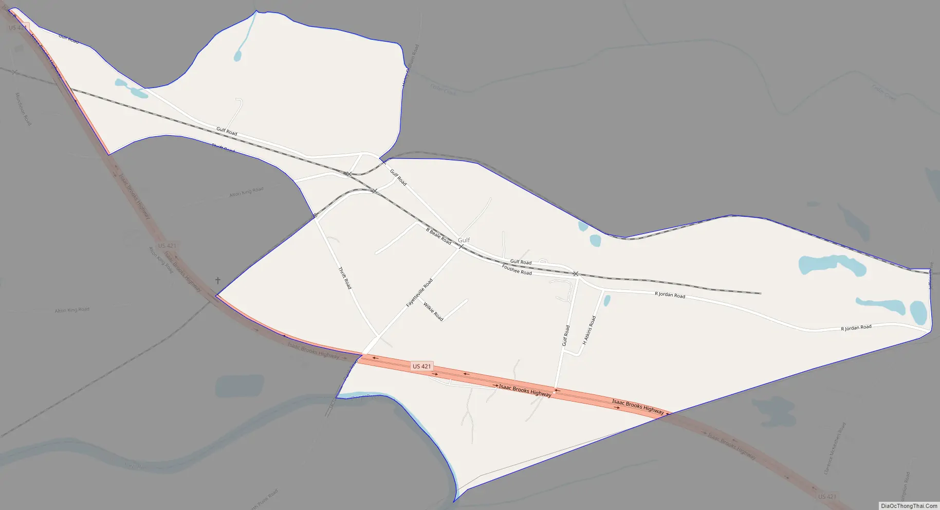
Gulf Road Map
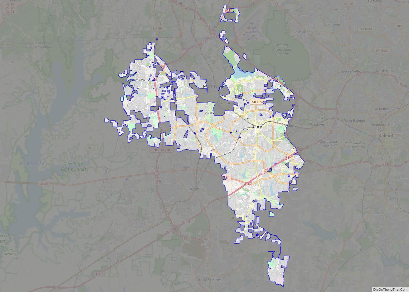
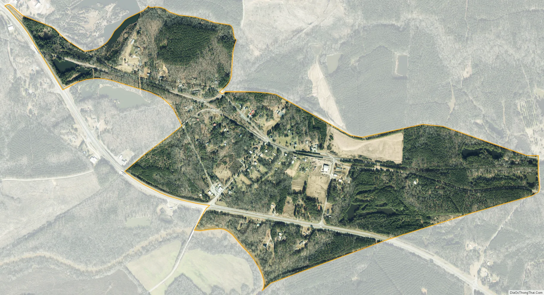
Gulf city Satellite Map
Geography
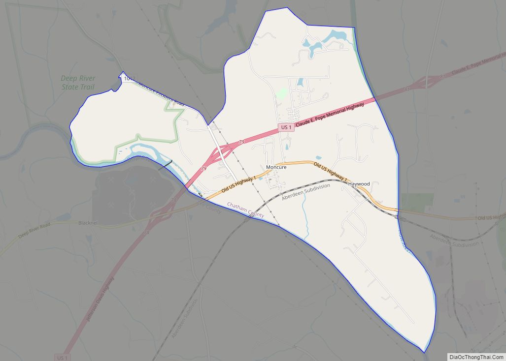
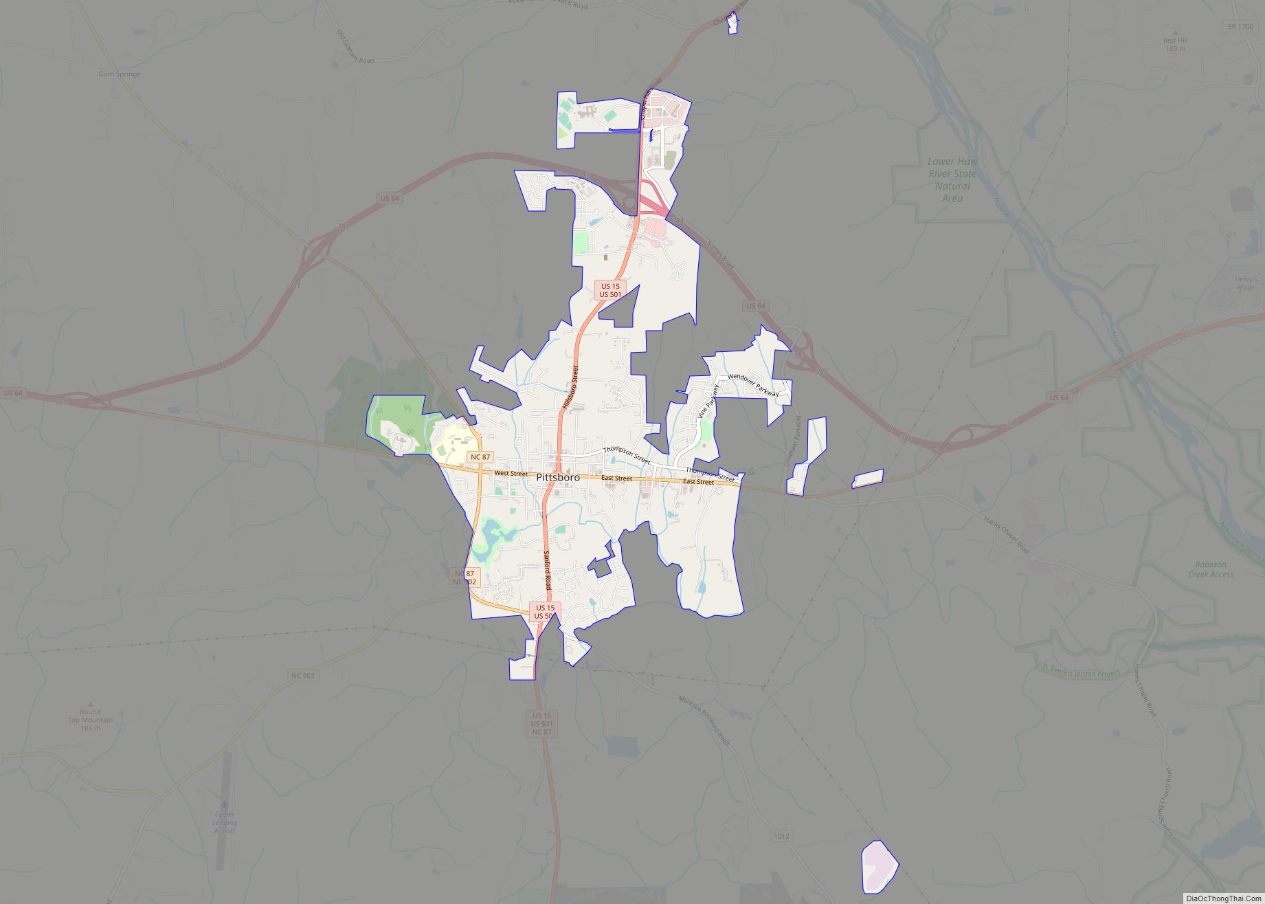
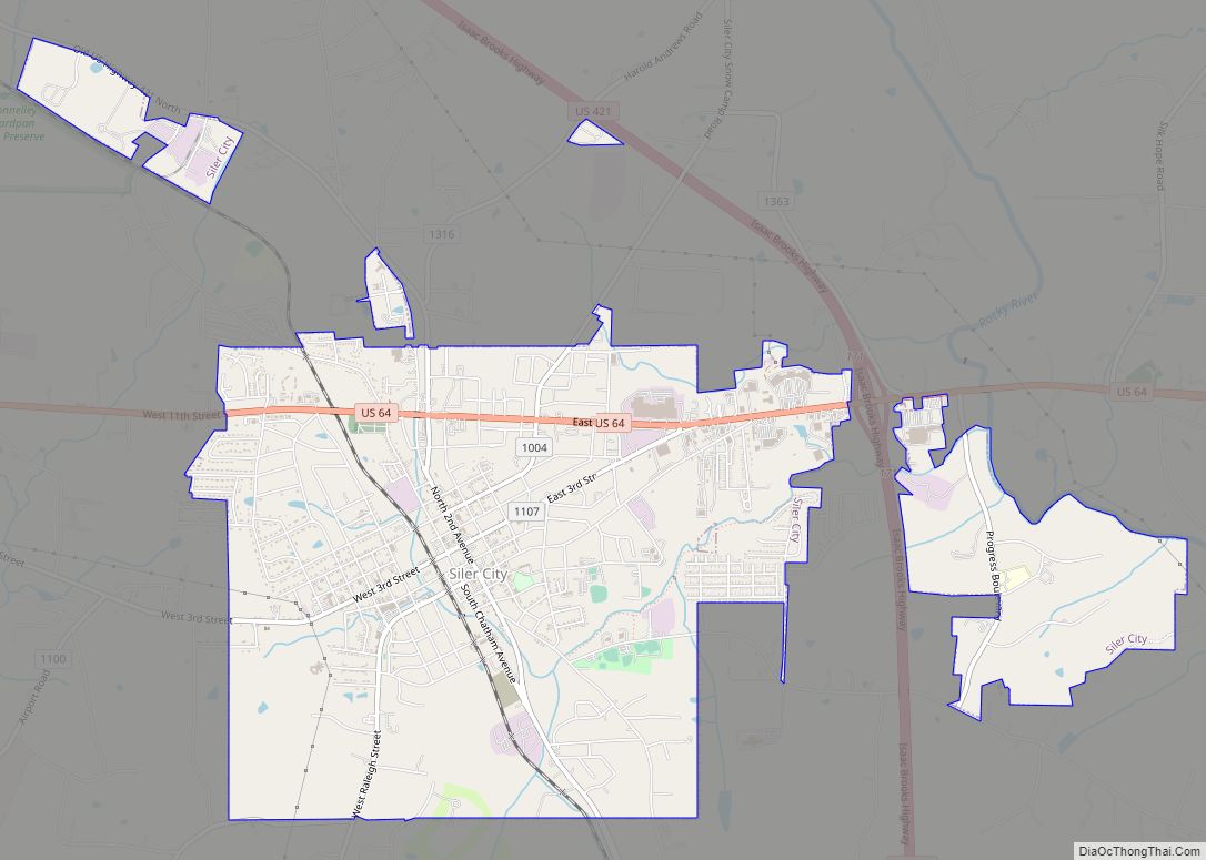
Gulf is located on the southern border of Chatham County, on the north side of Deep River. The Cape Fear River forms at the confluence of the Deep and Haw rivers, approximately 20 miles downstream of Gulf. Gulf is 16 miles (26 km) southeast of Siler City and 8 miles (13 km) northwest of Sanford. Pittsboro, the Chatham County seat, is 17 miles (27 km) to the northeast via the Pittsboro-Goldston Road.
According to the United States Census Bureau, the Gulf CDP has a total area of 0.92 square miles (2.39 km), of which 0.01 square miles (0.03 km), or 1.18%, is water.
Gulf is at the geographical center of North Carolina.
See also
Map of North Carolina State and its subdivision:- Alamance
- Alexander
- Alleghany
- Anson
- Ashe
- Avery
- Beaufort
- Bertie
- Bladen
- Brunswick
- Buncombe
- Burke
- Cabarrus
- Caldwell
- Camden
- Carteret
- Caswell
- Catawba
- Chatham
- Cherokee
- Chowan
- Clay
- Cleveland
- Columbus
- Craven
- Cumberland
- Currituck
- Dare
- Davidson
- Davie
- Duplin
- Durham
- Edgecombe
- Forsyth
- Franklin
- Gaston
- Gates
- Graham
- Granville
- Greene
- Guilford
- Halifax
- Harnett
- Haywood
- Henderson
- Hertford
- Hoke
- Hyde
- Iredell
- Jackson
- Johnston
- Jones
- Lee
- Lenoir
- Lincoln
- Macon
- Madison
- Martin
- McDowell
- Mecklenburg
- Mitchell
- Montgomery
- Moore
- Nash
- New Hanover
- Northampton
- Onslow
- Orange
- Pamlico
- Pasquotank
- Pender
- Perquimans
- Person
- Pitt
- Polk
- Randolph
- Richmond
- Robeson
- Rockingham
- Rowan
- Rutherford
- Sampson
- Scotland
- Stanly
- Stokes
- Surry
- Swain
- Transylvania
- Tyrrell
- Union
- Vance
- Wake
- Warren
- Washington
- Watauga
- Wayne
- Wilkes
- Wilson
- Yadkin
- Yancey
- Alabama
- Alaska
- Arizona
- Arkansas
- California
- Colorado
- Connecticut
- Delaware
- District of Columbia
- Florida
- Georgia
- Hawaii
- Idaho
- Illinois
- Indiana
- Iowa
- Kansas
- Kentucky
- Louisiana
- Maine
- Maryland
- Massachusetts
- Michigan
- Minnesota
- Mississippi
- Missouri
- Montana
- Nebraska
- Nevada
- New Hampshire
- New Jersey
- New Mexico
- New York
- North Carolina
- North Dakota
- Ohio
- Oklahoma
- Oregon
- Pennsylvania
- Rhode Island
- South Carolina
- South Dakota
- Tennessee
- Texas
- Utah
- Vermont
- Virginia
- Washington
- West Virginia
- Wisconsin
- Wyoming