Pittsboro is a town in Chatham County, North Carolina, United States. The population was 3,743 at the 2010 census and 4,537 at the 2020 census. It is the county seat of Chatham County.
The town was established in the late 18th century, shortly after the American Revolution, as the county seat for the newly formed Chatham County. In the years leading up to the American Civil War, the economy was dominated by small-scale farms that relied heavily on enslaved labor, and in the aftermath of the civil war, racial tensions were high, and the town was noted for a number of lynchings and other racial violence in the late 19th century. Industrialization came to the community in the late 19th century, as a number of rivers cross the area providing locations for mills and factories. Economic and population growth would continue into and throughout the 20th century. As industry moved away from the community, it has in the 21st century transitioned into a bedroom community for the nearby cities of the Research Triangle region.
| Name: | Pittsboro town |
|---|---|
| LSAD Code: | 43 |
| LSAD Description: | town (suffix) |
| State: | North Carolina |
| County: | Chatham County |
| Elevation: | 407 ft (124 m) |
| Total Area: | 5.52 sq mi (14.29 km²) |
| Land Area: | 5.49 sq mi (14.21 km²) |
| Water Area: | 0.03 sq mi (0.08 km²) |
| Total Population: | 4,537 |
| Population Density: | 826.86/sq mi (319.24/km²) |
| ZIP code: | 27228, 27312 |
| Area code: | 919 / 984 |
| FIPS code: | 3752660 |
| GNISfeature ID: | 1021992 |
| Website: | pittsboronc.gov |
Online Interactive Map
Click on ![]() to view map in "full screen" mode.
to view map in "full screen" mode.
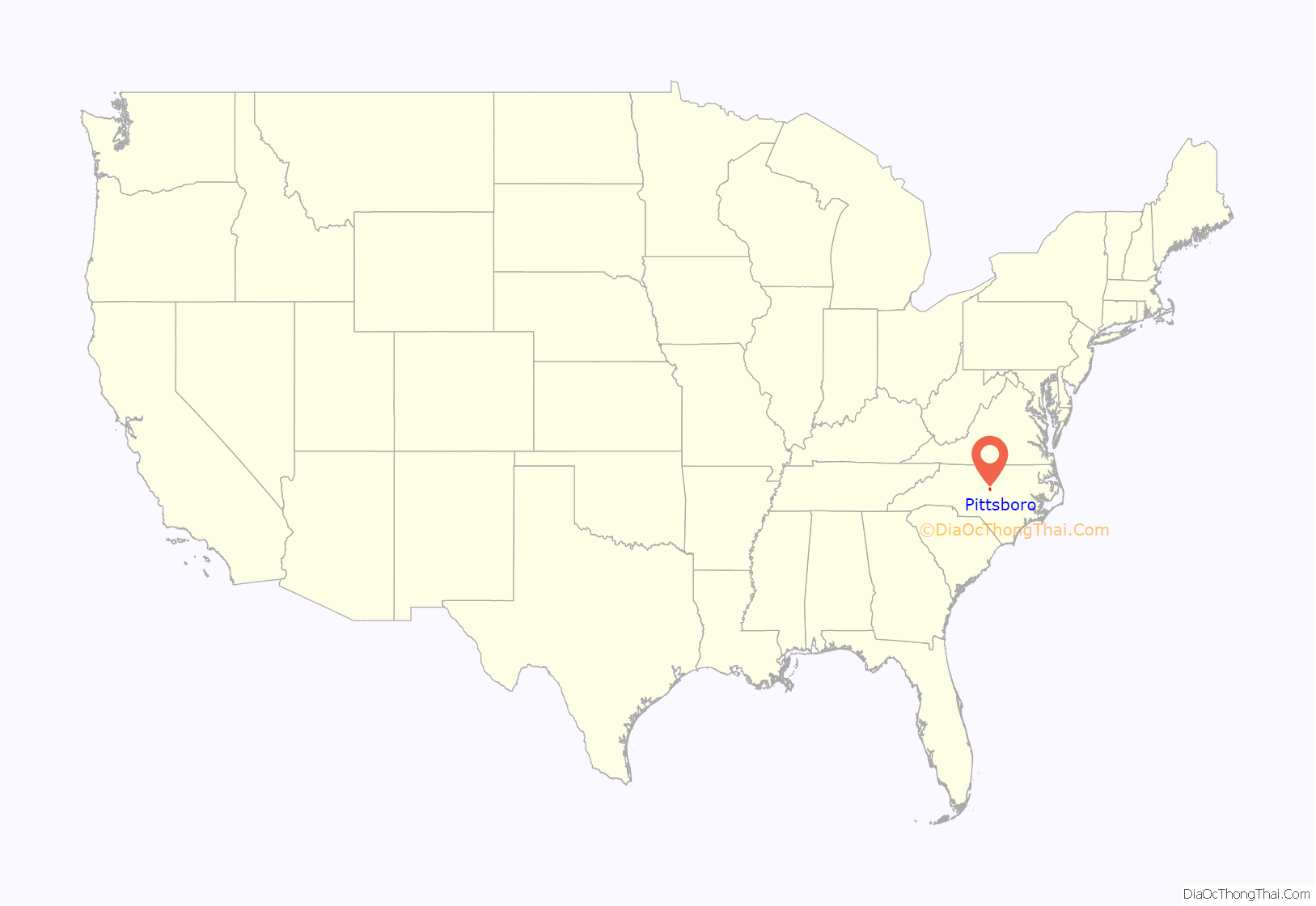
Pittsboro location map. Where is Pittsboro town?
History
Foundation and early years
Pittsboro was established as a town in 1785. The Chatham County Court House was built on land belonging to Mial Scurlock, but in 1787 the legislature declared that a town could not be established on Scurlock’s land. The town’s trustees instead purchased adjacent land belonging to William Petty and laid out the town. That same year, Pittsboro was officially named the county seat. Although Chatham County is named for William Pitt, 1st Earl of Chatham, Pittsboro is named for his son, William Pitt the Younger.
Pittsboro was once considered as a site for both the University of North Carolina and the state capital. The university was established in Chapel Hill, beginning in 1789. The state capital is Raleigh, 34 miles (55 km) east of Pittsboro.
As the county seat, Pittsboro has been a center of trade and local government, including the courts. Many farmers would come into town on the weekend for trade. In 1881 a new county courthouse and jail were built in Pittsboro.
Slavery and racial segregation
The area did not have large plantations, but farmers also depended on slave labor. In 1860 nearly one-third of the county population was made up of enslaved African Americans. After the Civil War and emancipation, whites used violence and other means to enforce white supremacy and suppress the freedmen’s vote. The Ku Klux Klan and other supremacist groups were active in the county.
Pittsboro was the scene of a notorious mass lynching of four African Americans in 1885, including a woman. The event earned statewide condemnation. Those lynched were tenant farmers. A masked mob took Jerry Finch, his wife Harriet, and Lee Tyson from jail, where they were being held after arrest as suspects in a robbery/murder case. Harriet Finch was one of four black women to be lynched in the state. They also took and hanged John Pattishall, who was awaiting trial for two other unrelated robbery/murders.
A white mob broke into the Pittsboro jail and seized a 16-year-old boy, Eugene Daniel. He was lynched and then had his body riddled with bullets on September 18, 1921.
Violence continued during the stress of economic hard times at the end of the century and into the early 20th century, when the state disenfranchised most blacks. This political exclusion lasted until after 1965 and passage of the Voting Rights Act. In 2019, a statue erected in 1907 of a Confederate soldier outside the Chatham County Courthouse in Pittsboro was taken down.
Early industrialization
Textile mills in the north-central area of the county along the Haw River, Rocky River, and Deep River provided new manufacturing jobs to workers who had lost farm holdings due to economic depressions of the 1870s and early 1880s. It was the beginning of industrialization around Pittsboro.
Chatham County Courthouse fire
On March 25, 2010, the Chatham County Courthouse, while undergoing a $415,000 exterior renovation, caught fire. Smoke was first reported in the area around 4:15 pm; the fire was dispatched to the Pittsboro Fire Department around 4:45 pm. By 5 pm, smoke was reported to be rising from out of the clock tower, which was surrounded by scaffolds. The building was evacuated safely.
The building suffered severe damage to the clock tower and the third floor. It was reported that the fire had destroyed all the computers and records, but there were offsite copies and the information was recoverable.
On March 26, 2010, at approximately 1:30 am, the clock tower collapsed onto the main building, but the building as a whole was damaged only on the second floor. Damage in the rest of the building was from water and smoke effects. Overall 11 fire departments participated in the fire efforts.
The fire marshal’s investigation into the fire determined that it was caused by a soldering torch that ignited wood near the soffit. Workers attempted to extinguish the blaze, but were unsuccessful. On March 31, 2010, the Chatham County Commissioners voted to rebuild the courthouse. It reopened on April 20, 2013.
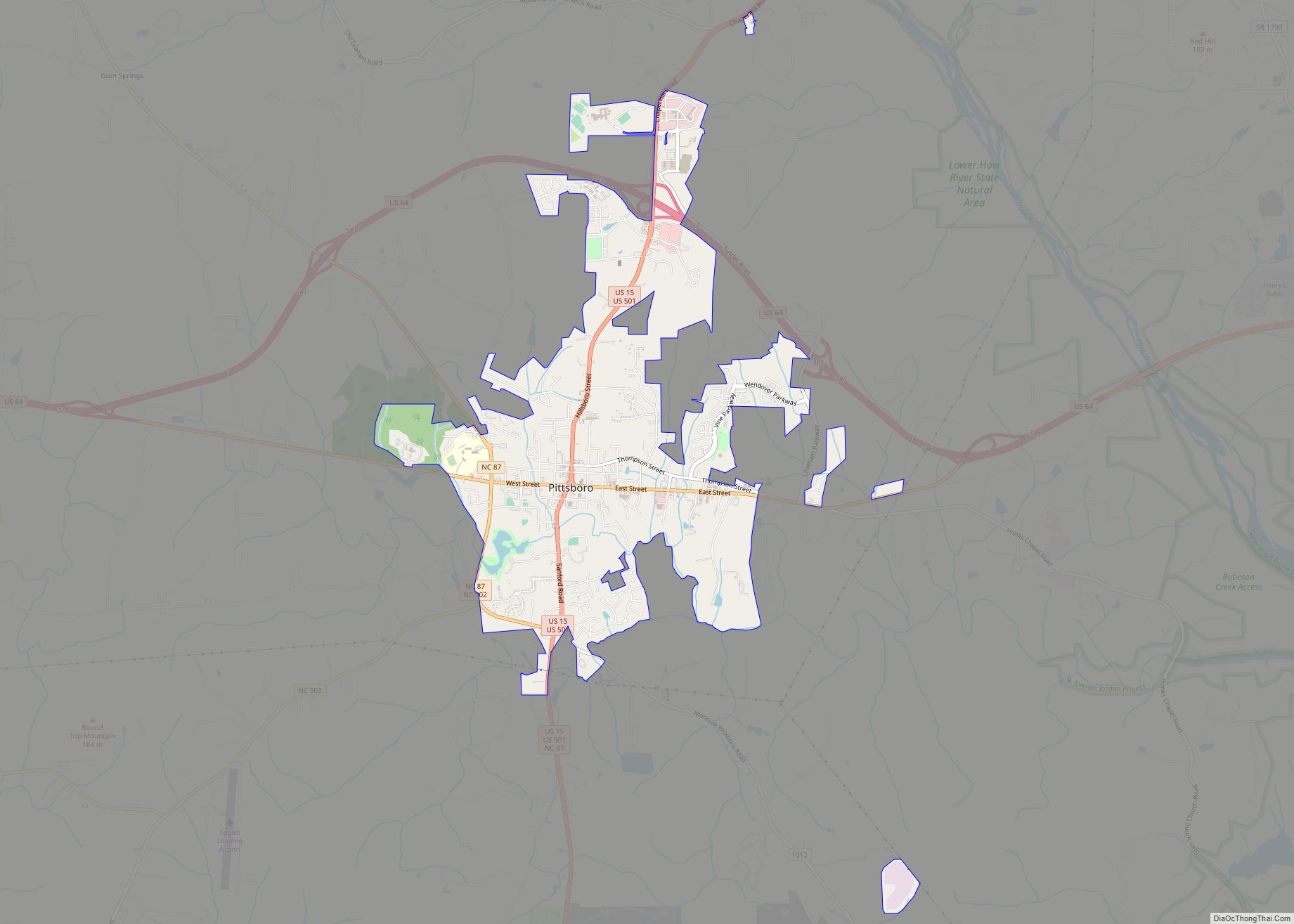
Pittsboro Road Map
Pittsboro city Satellite Map
Geography
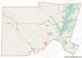
Pittsboro is located east of the center of Chatham County at 35°43′13″N 79°10′35″W / 35.72028°N 79.17639°W / 35.72028; -79.17639 (35.720332, −79.176393). According to the United States Census Bureau, the town has a total area of 4.2 square miles (10.8 km), of which 4.1 square miles (10.7 km) is land and 0.04 square miles (0.1 km), or 0.86%, is water.
U.S. Highways 15 and 501 run concurrently through the center of the town as Hillsboro Street and Sanford Road, leading north 17 miles (27 km) to the center of Chapel Hill and the University of North Carolina, and south 17 miles (27 km) to Sanford. U.S. Route 64 bypasses Pittsboro to the north and leads east 34 miles (55 km) to Raleigh and west 16 miles (26 km) to Siler City. U.S. Route 64 Business passes through the town as West Street and East Street, crossing US 15/501 at the traffic circle that surrounds the historic Chatham County Courthouse in the center of town. North Carolina Highway 87 leads northwest from Pittsboro 32 miles (51 km) to Burlington.
Near the geographic center of the state, Pittsboro is 150 miles (240 km) from Wilmington at the coast and the same distance from Boone in the Blue Ridge Mountains.
Jordan Lake is 8 miles (13 km) east, providing recreation, fishing, boating and scenic panoramas. The lake is 14,000 acres (5,700 ha) of surface and provides water for Raleigh and the town of Cary.
See also
Map of North Carolina State and its subdivision:- Alamance
- Alexander
- Alleghany
- Anson
- Ashe
- Avery
- Beaufort
- Bertie
- Bladen
- Brunswick
- Buncombe
- Burke
- Cabarrus
- Caldwell
- Camden
- Carteret
- Caswell
- Catawba
- Chatham
- Cherokee
- Chowan
- Clay
- Cleveland
- Columbus
- Craven
- Cumberland
- Currituck
- Dare
- Davidson
- Davie
- Duplin
- Durham
- Edgecombe
- Forsyth
- Franklin
- Gaston
- Gates
- Graham
- Granville
- Greene
- Guilford
- Halifax
- Harnett
- Haywood
- Henderson
- Hertford
- Hoke
- Hyde
- Iredell
- Jackson
- Johnston
- Jones
- Lee
- Lenoir
- Lincoln
- Macon
- Madison
- Martin
- McDowell
- Mecklenburg
- Mitchell
- Montgomery
- Moore
- Nash
- New Hanover
- Northampton
- Onslow
- Orange
- Pamlico
- Pasquotank
- Pender
- Perquimans
- Person
- Pitt
- Polk
- Randolph
- Richmond
- Robeson
- Rockingham
- Rowan
- Rutherford
- Sampson
- Scotland
- Stanly
- Stokes
- Surry
- Swain
- Transylvania
- Tyrrell
- Union
- Vance
- Wake
- Warren
- Washington
- Watauga
- Wayne
- Wilkes
- Wilson
- Yadkin
- Yancey
- Alabama
- Alaska
- Arizona
- Arkansas
- California
- Colorado
- Connecticut
- Delaware
- District of Columbia
- Florida
- Georgia
- Hawaii
- Idaho
- Illinois
- Indiana
- Iowa
- Kansas
- Kentucky
- Louisiana
- Maine
- Maryland
- Massachusetts
- Michigan
- Minnesota
- Mississippi
- Missouri
- Montana
- Nebraska
- Nevada
- New Hampshire
- New Jersey
- New Mexico
- New York
- North Carolina
- North Dakota
- Ohio
- Oklahoma
- Oregon
- Pennsylvania
- Rhode Island
- South Carolina
- South Dakota
- Tennessee
- Texas
- Utah
- Vermont
- Virginia
- Washington
- West Virginia
- Wisconsin
- Wyoming
