Kernersville is a town in Forsyth County and the largest suburb of Winston-Salem. The town is located in the U.S. state of North Carolina. A small portion of the town is also in Guilford County. The population was 26,481 at the 2020 census, up from 23,123 in 2010. Kernersville is located at the center of the Piedmont Triad metropolitan area, between Greensboro to the east, High Point to the south, and Winston-Salem to the west. Some of the farmland surrounding the town has been sold and turned into large middle-to-upper-class housing developments. The Winston-Salem Northern Beltway, a partial loop running around the city of Winston-Salem, as introduced in 2014, and will eventually go through Kernersville by the late 2020s or early 2030’s. The loop crosses Salem Parkway between Linville Rd and South Main Street. Then further to the south, it crosses I-40 between Union Cross Rd and I-74 and Route 311 near Winston-Salem. Then, it will end with an interchange with I-74 and Route 311 between Union Cross Rd and Ridgewood Rd. Further north, it passes West Mountain St and eventually Route 158 in Walkertown. Another nickname for Kernersville is K-Vegas. Walkertown is 7.1 miles to the west-northwest via Highway 66. Winston-Salem is 11 miles to the west via Salem Parkway. Greensboro is 21 miles to the east via I-40. Wallburg is 9.8 miles to the south via Union Cross Rd and Gumtree Rd. High Point is 14 miles to the southeast via I-74.
| Name: | Kernersville town |
|---|---|
| LSAD Code: | 43 |
| LSAD Description: | town (suffix) |
| State: | North Carolina |
| County: | Forsyth County, Guilford County |
| Elevation: | 1,011 ft (308 m) |
| Total Area: | 18.21 sq mi (47.18 km²) |
| Land Area: | 18.10 sq mi (46.88 km²) |
| Water Area: | 0.11 sq mi (0.29 km²) |
| Total Population: | 26,449 |
| Population Density: | 1,461.19/sq mi (564.16/km²) |
| ZIP code: | 27284–27285 |
| Area code: | 336 |
| FIPS code: | 3735600 |
| GNISfeature ID: | 0987932 |
| Website: | toknc.com |
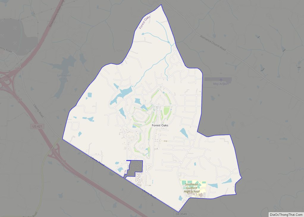
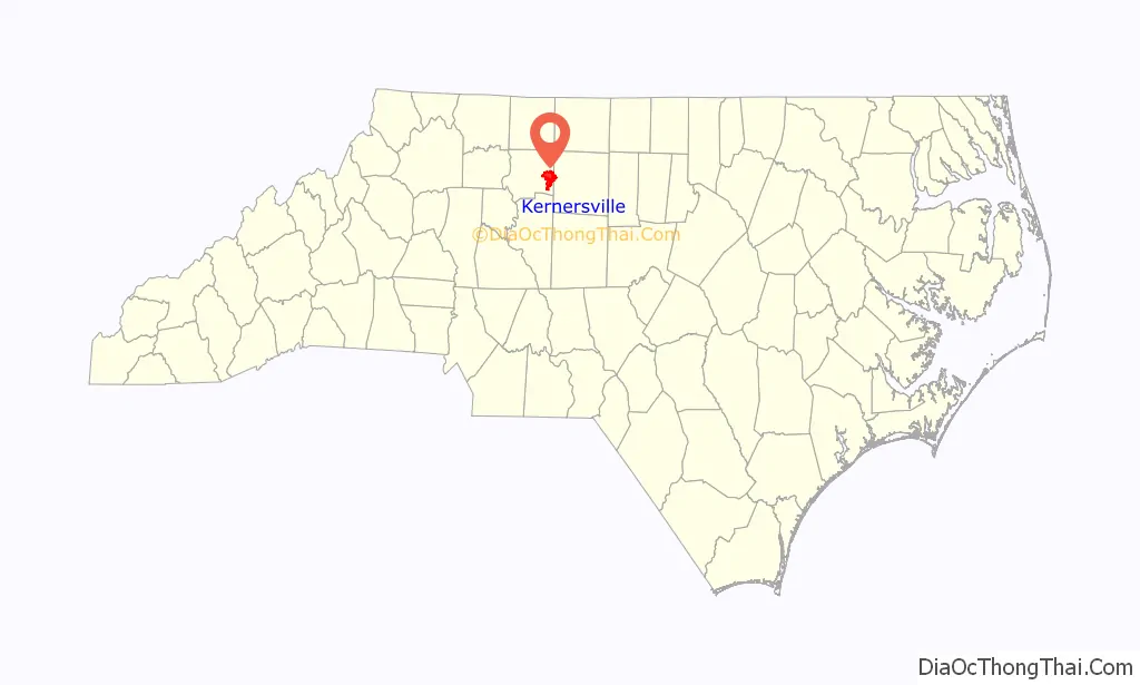
Online Interactive Map
Click on ![]() to view map in "full screen" mode.
to view map in "full screen" mode.
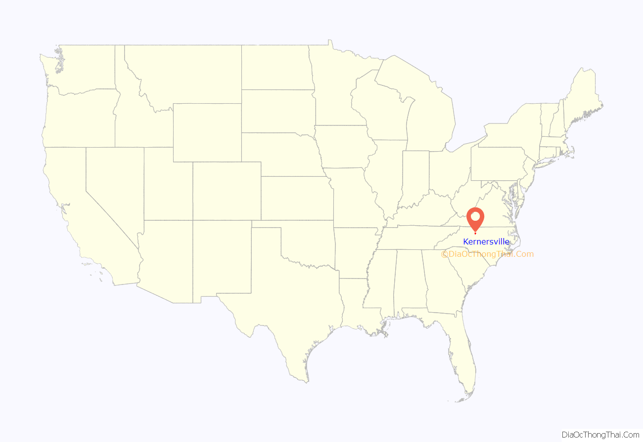
Kernersville location map. Where is Kernersville town?
History
The site was first settled by an Irishman named Caleb Story in 1756. Circa 1770, the site was purchased by William Dobson and was called “Dobson’s Crossroads”. George Washington was served breakfast at Dobson’s tavern on June 2, 1791. Joseph Kerner bought the property in 1817, continuing to operate the inn; the town became known as “Kerners Crossroads”. Kerner left his property to two sons and a daughter. Not long after the arrival of the railroad, the town was incorporated as “Kernersville” in 1873.
There was brief flirtation with relocating the Minnesota Twins to Kernersville in 1998.
In 2001, NASCAR driver Kevin Harvick opened his shop in Kernersville. Kevin and his wife, Delana, were residents of Kernersville until 2007. Delana and her father, former Nationwide Series driver John Linville, are natives of Kernersville.
In late 2005, President George W. Bush visited Kernersville’s Deere-Hitachi plant to give a speech about the American economy. In the summer of 2008, former president Bill Clinton spoke at R. B. Glenn High school. He was campaigning for his wife, Hillary Clinton, in the Democratic primary. Donald Trump Jr. hosted a campaign rally for his father and then-president, Donald Trump, at Salem One Inc. on October 19, 2020.
Former basketball player Turner Battle is from Kernersville.
First Baptist Church, Kernersville Depot, Korner’s Folly, Isaac Harrison McKaughan House, North Cherry Street Historic District, Roberts-Justice House, South Main Street Historic District, and Stuart Motor Company are all listed on the National Register of Historic Places.
Improvements
Starting in mid 2006, Century Park went under construction to rebuild the lake that had been drained years before due to a structural issue with its dam. The lake was restocked with fish and renovated, and the park is now accessible from Century Blvd with bathrooms and picnic areas. The project was finished in Spring 2008. Beginning in May 2009 the public is allowed to fish from the lake.
Starting in July 2008, North Main Street was closed through downtown Kernersville. Improvements included widening the road and adding parking along the street. North Main Street was reopened on October 2, 2008. Also, Century Blvd went under construction in the winter of 2008. The construction extended Century Place Blvd which allowed traffic from South Main St to Century Blvd. The construction was finished in January 2009.
The resident houses in the historical district on Salisbury St. were given an ordinance to renovate their homes to match the current renovations done to the roads leading into downtown along with the new bank and park added further downtown. The historical district includes the famous Körner’s Folly built 1878–1880, and the Harmon House.
In 2012, complete reconstruction of the Salisbury Street overpass bridge over I-40 business was completed. The new bridge includes stone side walls, sidewalks, and light posts. That same year, new landscaping was put into place around the Main Street exit and entrance ramps from I-40 business. Also beginning in 2012, construction began to replace the Hastings Hill Road overpass bridge to I-40 business. The project is focused around replacing the outdated bridge as well as making the northern part of the road leading to the bridge a straight shot over I-40 business instead of the winding road it currently is. The project may include additional benefits such as exit/entrance ramps to I-40 business. Such access would eliminate the large distance between the closest exits (S. Main St. and Linville Rd.) and provide easier access for motorists to surrounding areas of the overpass.
Beginning in Fall 2013, road construction began to incorporate a traffic circle to the intersection of W. Bodenhamer St. and Dobson St. The project is focused around decreasing the traffic congestion of the intersection around heavy traffic times. The project is estimated to complete in mid-2014.
The intersection of Wallburg Road and Union Cross Road near Union Cross Park had been constructed to where motorists can simply head onto eastbound Union Cross Road and Wallburg Road which also featured installment of traffic lights.
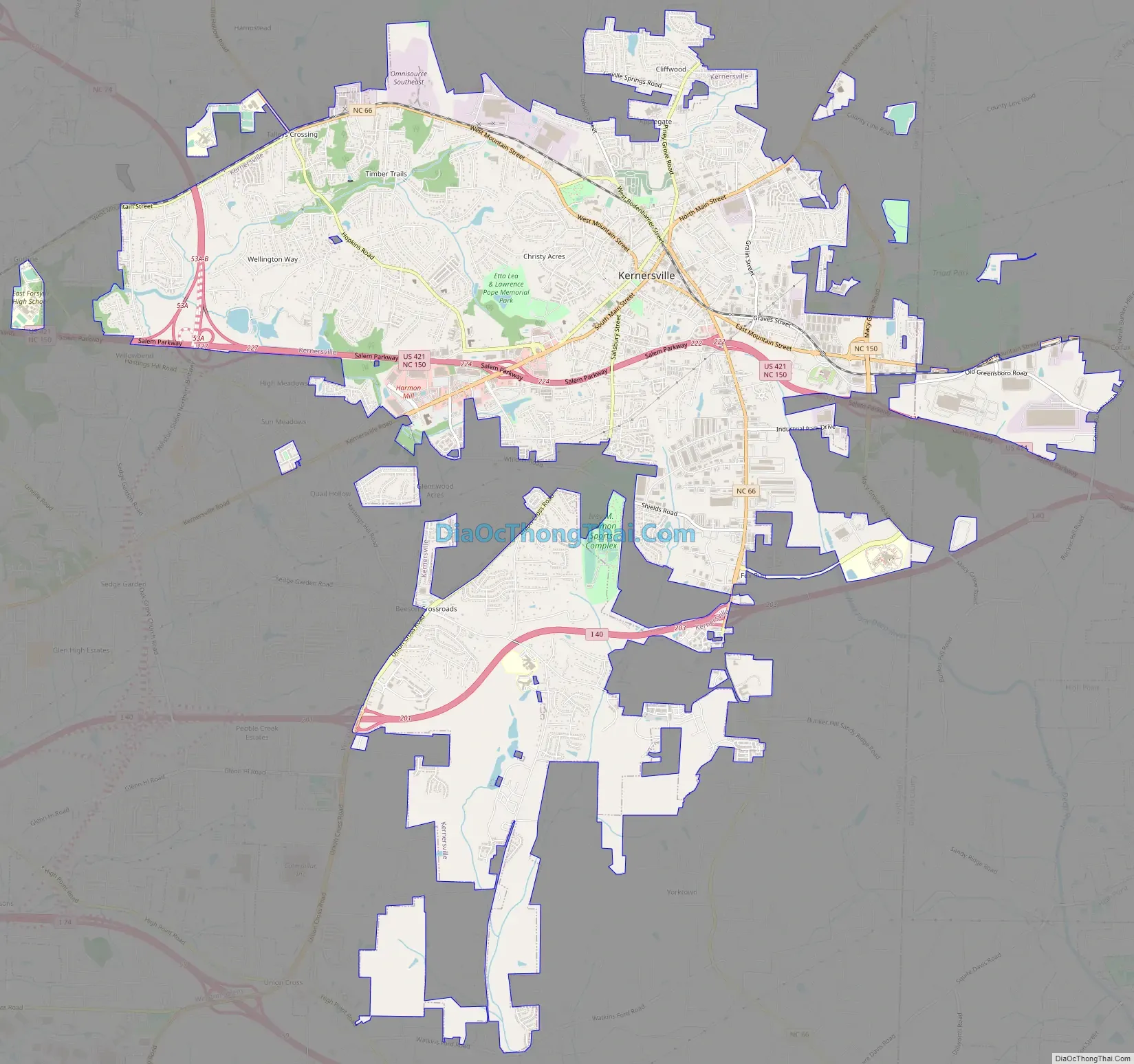
Kernersville Road Map
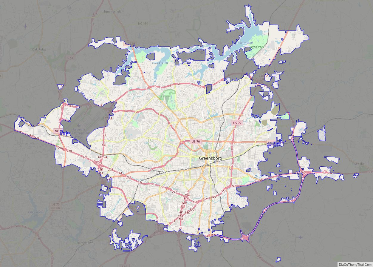
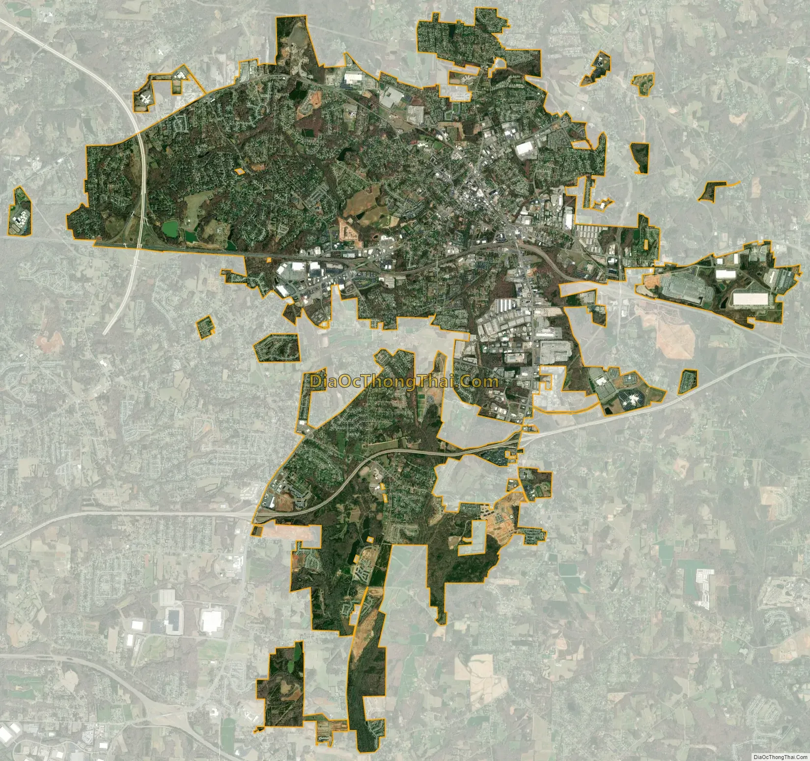
Kernersville city Satellite Map
Geography
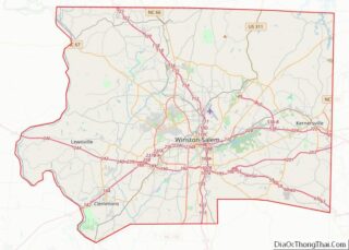
Kernersville is located 10 miles (16 km) east of Winston-Salem and 17 miles (27 km) west of Greensboro. According to the United States Census Bureau, the town has a total area of 17.4 square miles (45.1 km), of which 17.3 square miles (44.9 km) is land and 0.1 square miles (0.3 km), or 0.63%, is water.
See also
Map of North Carolina State and its subdivision:- Alamance
- Alexander
- Alleghany
- Anson
- Ashe
- Avery
- Beaufort
- Bertie
- Bladen
- Brunswick
- Buncombe
- Burke
- Cabarrus
- Caldwell
- Camden
- Carteret
- Caswell
- Catawba
- Chatham
- Cherokee
- Chowan
- Clay
- Cleveland
- Columbus
- Craven
- Cumberland
- Currituck
- Dare
- Davidson
- Davie
- Duplin
- Durham
- Edgecombe
- Forsyth
- Franklin
- Gaston
- Gates
- Graham
- Granville
- Greene
- Guilford
- Halifax
- Harnett
- Haywood
- Henderson
- Hertford
- Hoke
- Hyde
- Iredell
- Jackson
- Johnston
- Jones
- Lee
- Lenoir
- Lincoln
- Macon
- Madison
- Martin
- McDowell
- Mecklenburg
- Mitchell
- Montgomery
- Moore
- Nash
- New Hanover
- Northampton
- Onslow
- Orange
- Pamlico
- Pasquotank
- Pender
- Perquimans
- Person
- Pitt
- Polk
- Randolph
- Richmond
- Robeson
- Rockingham
- Rowan
- Rutherford
- Sampson
- Scotland
- Stanly
- Stokes
- Surry
- Swain
- Transylvania
- Tyrrell
- Union
- Vance
- Wake
- Warren
- Washington
- Watauga
- Wayne
- Wilkes
- Wilson
- Yadkin
- Yancey
- Alabama
- Alaska
- Arizona
- Arkansas
- California
- Colorado
- Connecticut
- Delaware
- District of Columbia
- Florida
- Georgia
- Hawaii
- Idaho
- Illinois
- Indiana
- Iowa
- Kansas
- Kentucky
- Louisiana
- Maine
- Maryland
- Massachusetts
- Michigan
- Minnesota
- Mississippi
- Missouri
- Montana
- Nebraska
- Nevada
- New Hampshire
- New Jersey
- New Mexico
- New York
- North Carolina
- North Dakota
- Ohio
- Oklahoma
- Oregon
- Pennsylvania
- Rhode Island
- South Carolina
- South Dakota
- Tennessee
- Texas
- Utah
- Vermont
- Virginia
- Washington
- West Virginia
- Wisconsin
- Wyoming