Linden is a town in Cumberland County, North Carolina, United States. The population was 130 at the 2010 census, the mayor is Frances Collier.
| Name: | Linden town |
|---|---|
| LSAD Code: | 43 |
| LSAD Description: | town (suffix) |
| State: | North Carolina |
| County: | Cumberland County |
| Elevation: | 112 ft (34 m) |
| Total Area: | 0.55 sq mi (1.42 km²) |
| Land Area: | 0.55 sq mi (1.42 km²) |
| Water Area: | 0.00 sq mi (0.00 km²) |
| Total Population: | 136 |
| Population Density: | 247.27/sq mi (95.54/km²) |
| ZIP code: | 28356 |
| FIPS code: | 3738360 |
| GNISfeature ID: | 1021155 |
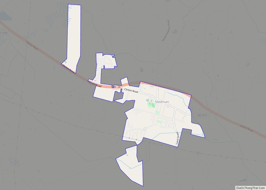
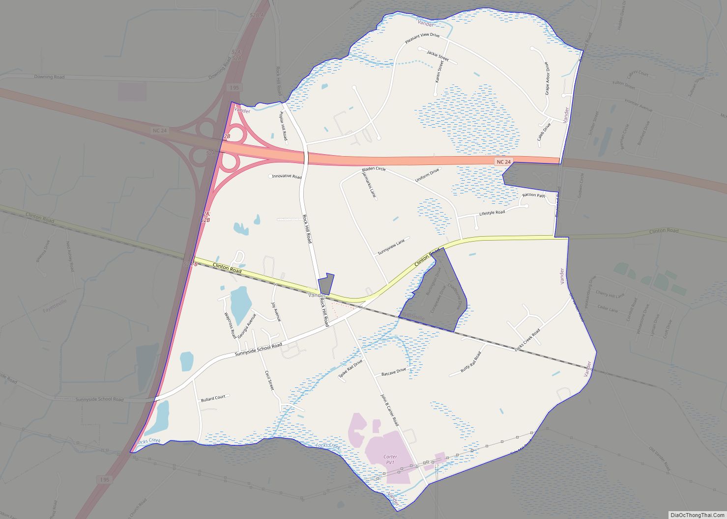
Online Interactive Map
Click on ![]() to view map in "full screen" mode.
to view map in "full screen" mode.
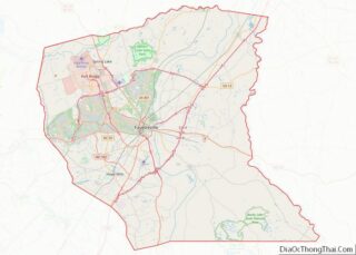
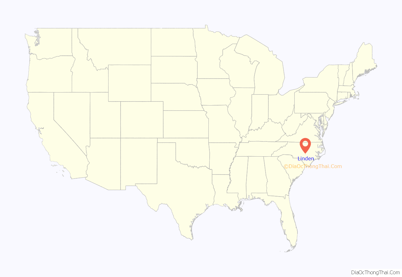
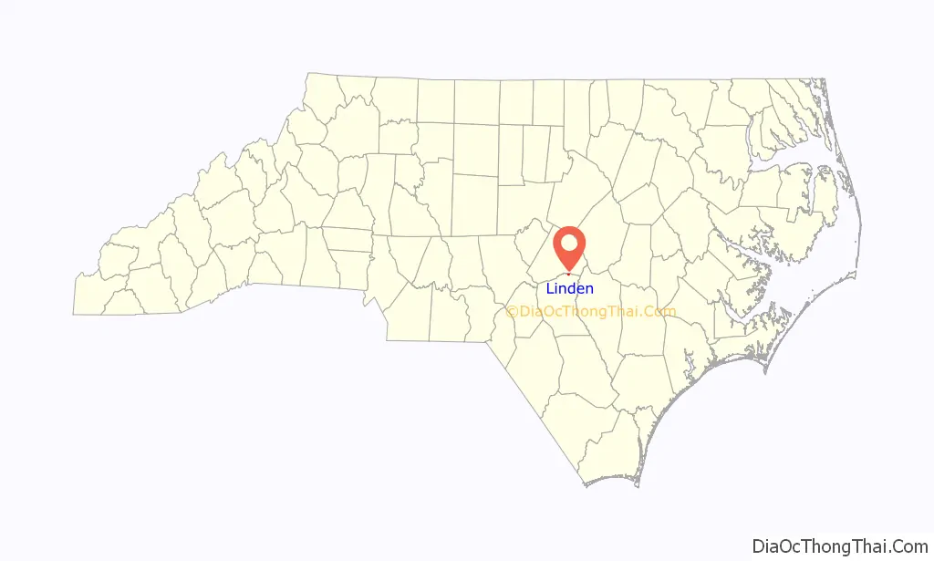
Linden location map. Where is Linden town?
History
Ellerslie, Ivy Burne, and the Dr. Wayman C. Melvin House are listed on the National Register of Historic Places. In 2020, a neo-pagan religion known as the Asatru Folk Assembly (AFA) purchased a former church in Linden to use as a Viking neo-pagan temple serving AFA members in the Southeastern United States. The temple is dedicated to the Viking god Thor and is called “Thorshof” which means “Thor’s temple” in Old Norse, the language of the Vikings.
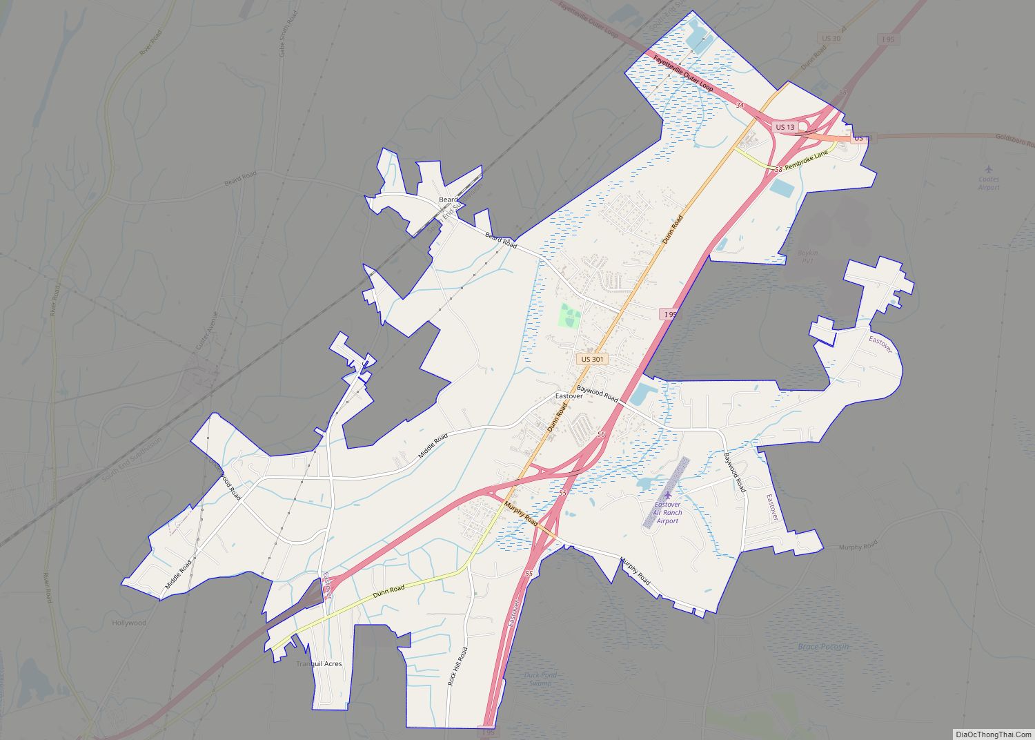
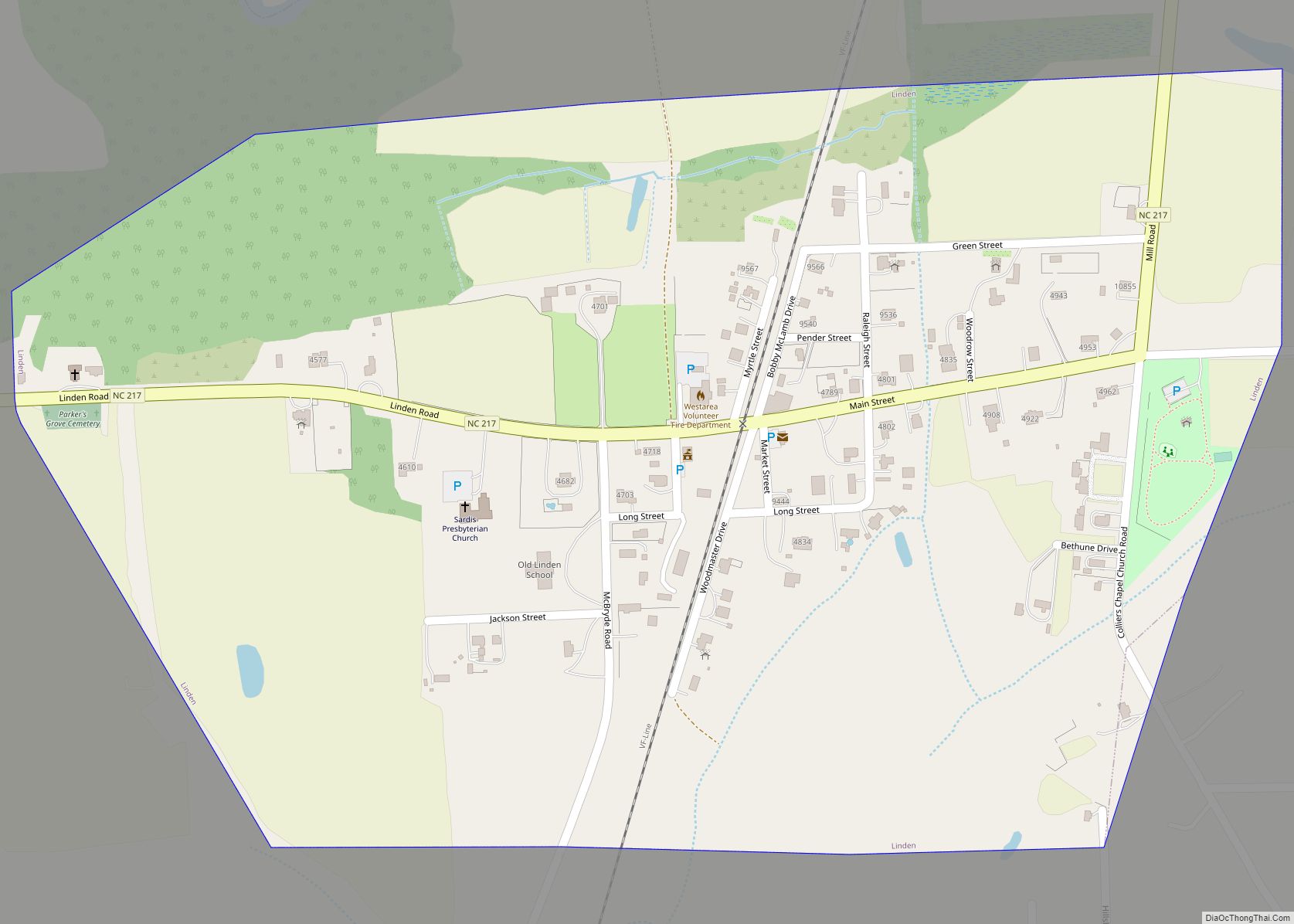
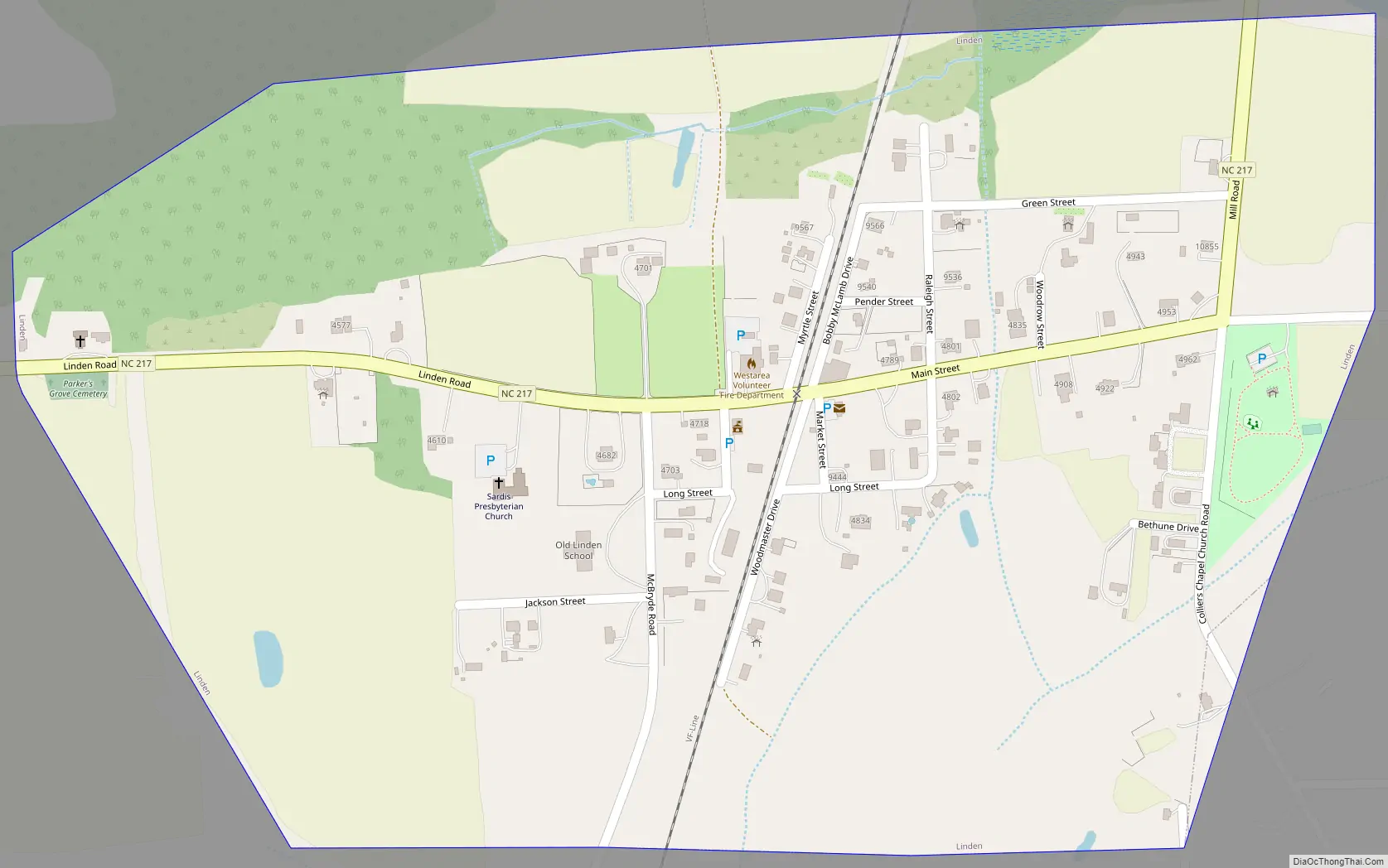
Linden Road Map
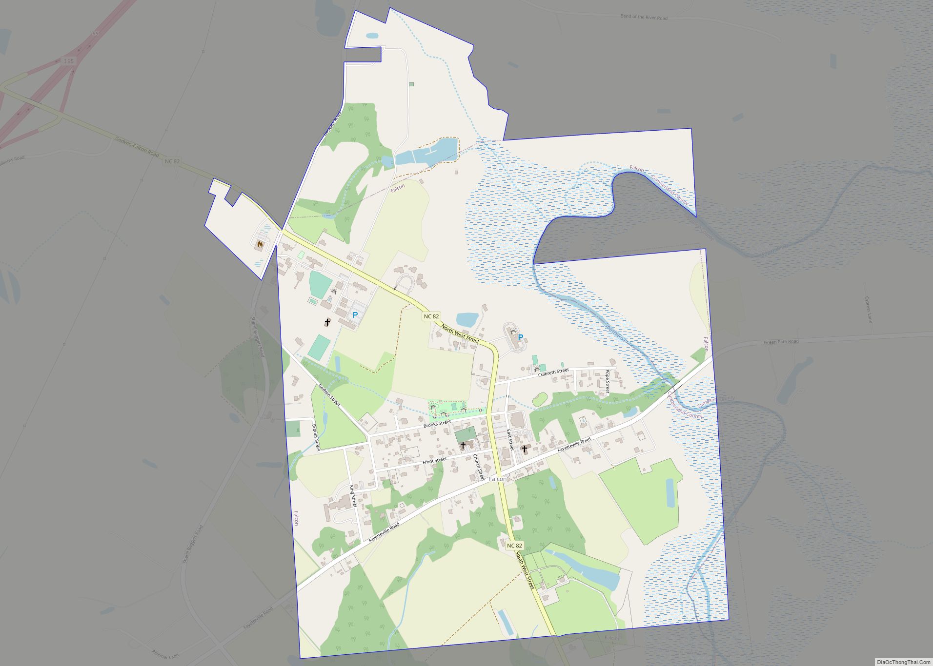
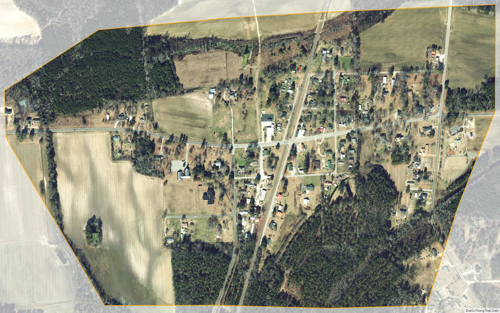
Linden city Satellite Map
Geography
Linden is located in northeastern Cumberland County at 35°15′20″N 78°44′48″W / 35.25556°N 78.74667°W / 35.25556; -78.74667 (35.255483, -78.746744). Its northern border comes close to the Harnett County line, here formed by the Little River, a tributary of the Cape Fear River.
North Carolina Highway 217 passes through the town as Linden Road and Mill Road, leading northeast 7 miles (11 km) to Erwin and west 2 miles (3 km) to U.S. Route 401. Via US 401 it is 18 miles (29 km) southwest from Linden to Fayetteville, the Cumberland County seat.
According to the United States Census Bureau, Linden has a total area of 0.50 square miles (1.3 km), all land.
See also
Map of North Carolina State and its subdivision:- Alamance
- Alexander
- Alleghany
- Anson
- Ashe
- Avery
- Beaufort
- Bertie
- Bladen
- Brunswick
- Buncombe
- Burke
- Cabarrus
- Caldwell
- Camden
- Carteret
- Caswell
- Catawba
- Chatham
- Cherokee
- Chowan
- Clay
- Cleveland
- Columbus
- Craven
- Cumberland
- Currituck
- Dare
- Davidson
- Davie
- Duplin
- Durham
- Edgecombe
- Forsyth
- Franklin
- Gaston
- Gates
- Graham
- Granville
- Greene
- Guilford
- Halifax
- Harnett
- Haywood
- Henderson
- Hertford
- Hoke
- Hyde
- Iredell
- Jackson
- Johnston
- Jones
- Lee
- Lenoir
- Lincoln
- Macon
- Madison
- Martin
- McDowell
- Mecklenburg
- Mitchell
- Montgomery
- Moore
- Nash
- New Hanover
- Northampton
- Onslow
- Orange
- Pamlico
- Pasquotank
- Pender
- Perquimans
- Person
- Pitt
- Polk
- Randolph
- Richmond
- Robeson
- Rockingham
- Rowan
- Rutherford
- Sampson
- Scotland
- Stanly
- Stokes
- Surry
- Swain
- Transylvania
- Tyrrell
- Union
- Vance
- Wake
- Warren
- Washington
- Watauga
- Wayne
- Wilkes
- Wilson
- Yadkin
- Yancey
- Alabama
- Alaska
- Arizona
- Arkansas
- California
- Colorado
- Connecticut
- Delaware
- District of Columbia
- Florida
- Georgia
- Hawaii
- Idaho
- Illinois
- Indiana
- Iowa
- Kansas
- Kentucky
- Louisiana
- Maine
- Maryland
- Massachusetts
- Michigan
- Minnesota
- Mississippi
- Missouri
- Montana
- Nebraska
- Nevada
- New Hampshire
- New Jersey
- New Mexico
- New York
- North Carolina
- North Dakota
- Ohio
- Oklahoma
- Oregon
- Pennsylvania
- Rhode Island
- South Carolina
- South Dakota
- Tennessee
- Texas
- Utah
- Vermont
- Virginia
- Washington
- West Virginia
- Wisconsin
- Wyoming