Mamers is an unincorporated community and census-designated place (CDP) in Harnett County, North Carolina, United States. The population was 826 at the 2010 census. It is a part of the Dunn Micropolitan Area, which is also a part of the greater Raleigh–Durham–Cary Combined Statistical Area (CSA) as defined by the United States Census Bureau.
| Name: | Mamers CDP |
|---|---|
| LSAD Code: | 57 |
| LSAD Description: | CDP (suffix) |
| State: | North Carolina |
| County: | Harnett County |
| Elevation: | 325 ft (99 m) |
| Total Area: | 6.05 sq mi (15.67 km²) |
| Land Area: | 6.04 sq mi (15.65 km²) |
| Water Area: | 0.01 sq mi (0.02 km²) |
| Total Population: | 814 |
| Population Density: | 134.72/sq mi (52.02/km²) |
| ZIP code: | 27552 |
| FIPS code: | 3740860 |
| GNISfeature ID: | 1021335 |
Online Interactive Map
Click on ![]() to view map in "full screen" mode.
to view map in "full screen" mode.
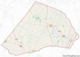
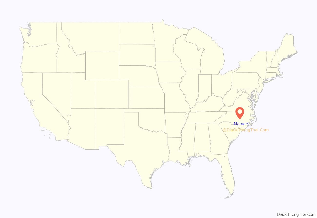
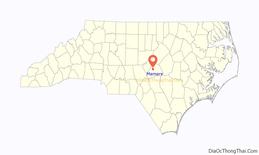
Mamers location map. Where is Mamers CDP?
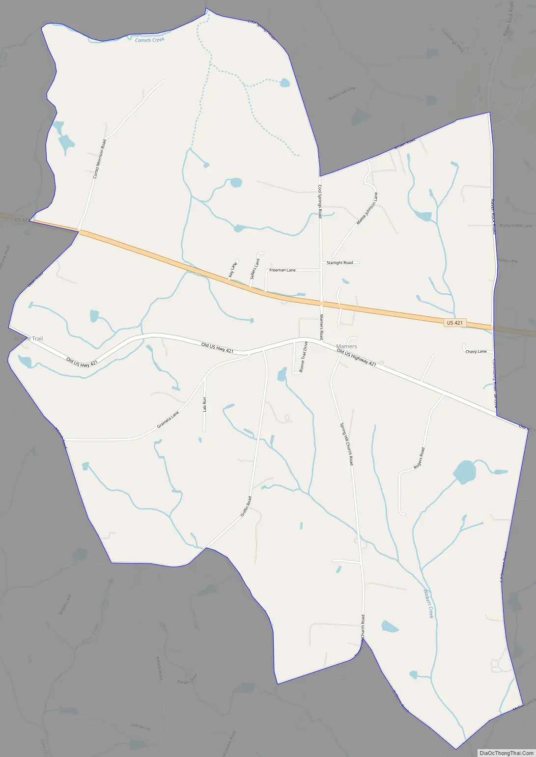
Mamers Road Map
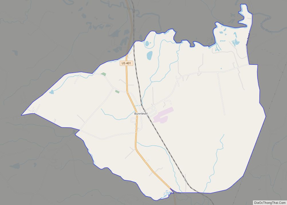
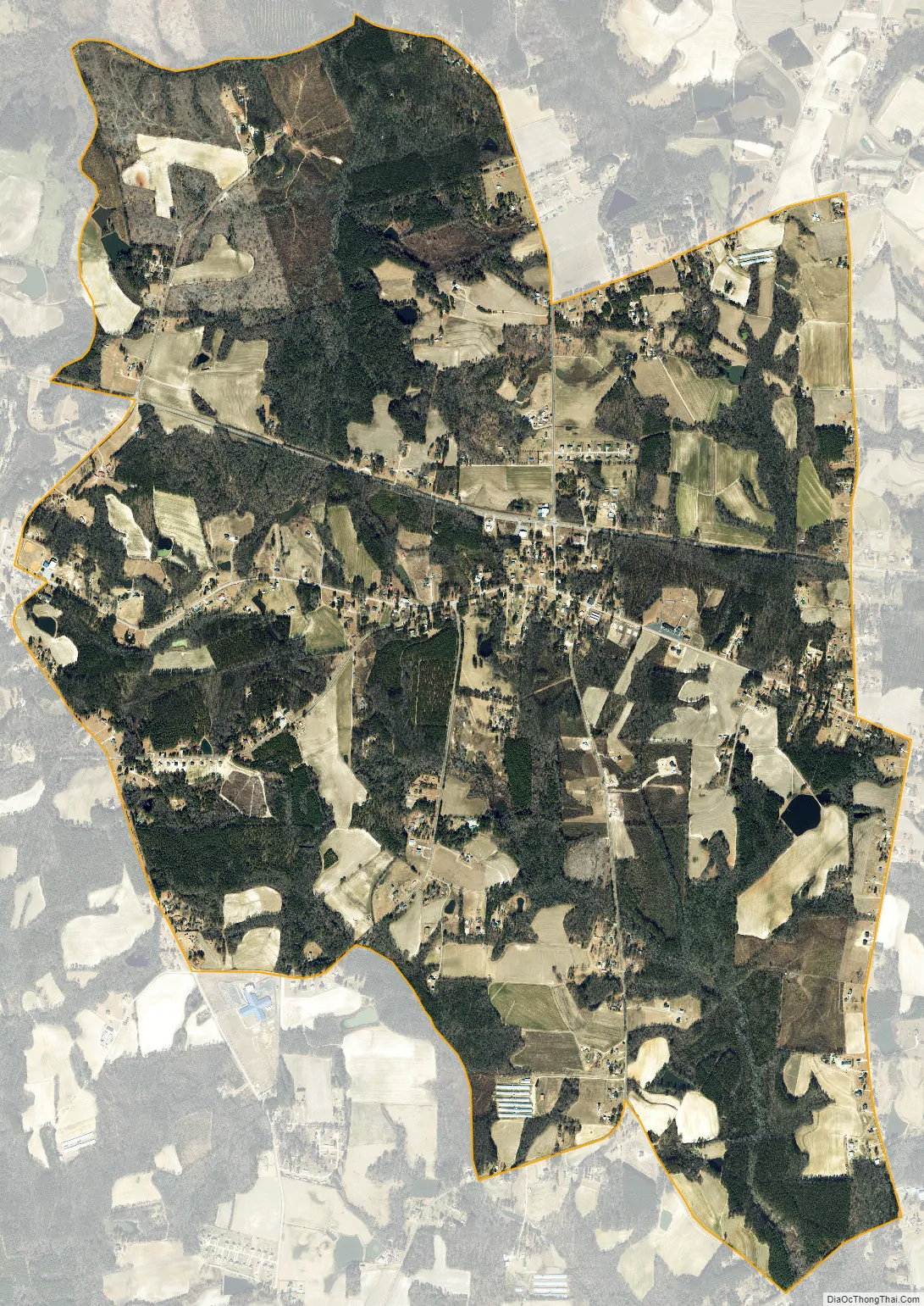
Mamers city Satellite Map
Geography
The community is in west-central Harnett County in Upper Little River Township. U.S. Route 421 is the main road through the northern side of the community, and Old US Highway 421 runs through the center. Lillington, the county seat, is 7 miles (11 km) to the east, and Sanford is 15 miles (24 km) to the west. Immediate neighbors of Mamers are Luart to the east and Ryes to the west. According to the United States Census Bureau, the Mamers CDP has a total area of 6.1 square miles (15.7 km), of which 0.01 square miles (0.02 km), or 0.15%, are water.
Prominent nearby landmarks include the community United States Post Office (ZIP Code 27552). Mamers is in the Boone Trail Elementary School district as well as in the Western Harnett middle and high school districts.
See also
Map of North Carolina State and its subdivision:- Alamance
- Alexander
- Alleghany
- Anson
- Ashe
- Avery
- Beaufort
- Bertie
- Bladen
- Brunswick
- Buncombe
- Burke
- Cabarrus
- Caldwell
- Camden
- Carteret
- Caswell
- Catawba
- Chatham
- Cherokee
- Chowan
- Clay
- Cleveland
- Columbus
- Craven
- Cumberland
- Currituck
- Dare
- Davidson
- Davie
- Duplin
- Durham
- Edgecombe
- Forsyth
- Franklin
- Gaston
- Gates
- Graham
- Granville
- Greene
- Guilford
- Halifax
- Harnett
- Haywood
- Henderson
- Hertford
- Hoke
- Hyde
- Iredell
- Jackson
- Johnston
- Jones
- Lee
- Lenoir
- Lincoln
- Macon
- Madison
- Martin
- McDowell
- Mecklenburg
- Mitchell
- Montgomery
- Moore
- Nash
- New Hanover
- Northampton
- Onslow
- Orange
- Pamlico
- Pasquotank
- Pender
- Perquimans
- Person
- Pitt
- Polk
- Randolph
- Richmond
- Robeson
- Rockingham
- Rowan
- Rutherford
- Sampson
- Scotland
- Stanly
- Stokes
- Surry
- Swain
- Transylvania
- Tyrrell
- Union
- Vance
- Wake
- Warren
- Washington
- Watauga
- Wayne
- Wilkes
- Wilson
- Yadkin
- Yancey
- Alabama
- Alaska
- Arizona
- Arkansas
- California
- Colorado
- Connecticut
- Delaware
- District of Columbia
- Florida
- Georgia
- Hawaii
- Idaho
- Illinois
- Indiana
- Iowa
- Kansas
- Kentucky
- Louisiana
- Maine
- Maryland
- Massachusetts
- Michigan
- Minnesota
- Mississippi
- Missouri
- Montana
- Nebraska
- Nevada
- New Hampshire
- New Jersey
- New Mexico
- New York
- North Carolina
- North Dakota
- Ohio
- Oklahoma
- Oregon
- Pennsylvania
- Rhode Island
- South Carolina
- South Dakota
- Tennessee
- Texas
- Utah
- Vermont
- Virginia
- Washington
- West Virginia
- Wisconsin
- Wyoming