Newport is a town in Carteret County, North Carolina, United States. The population was 4,510 at the 2010 census.
| Name: | Newport town |
|---|---|
| LSAD Code: | 43 |
| LSAD Description: | town (suffix) |
| State: | North Carolina |
| County: | Carteret County |
| Elevation: | 20 ft (6 m) |
| Total Area: | 7.75 sq mi (20.08 km²) |
| Land Area: | 7.69 sq mi (19.91 km²) |
| Water Area: | 0.06 sq mi (0.16 km²) |
| Total Population: | 4,364 |
| Population Density: | 567.56/sq mi (219.14/km²) |
| ZIP code: | 28570 |
| Area code: | 252 |
| FIPS code: | 3746860 |
| GNISfeature ID: | 1013948 |
| Website: | www.townofnewport.com |
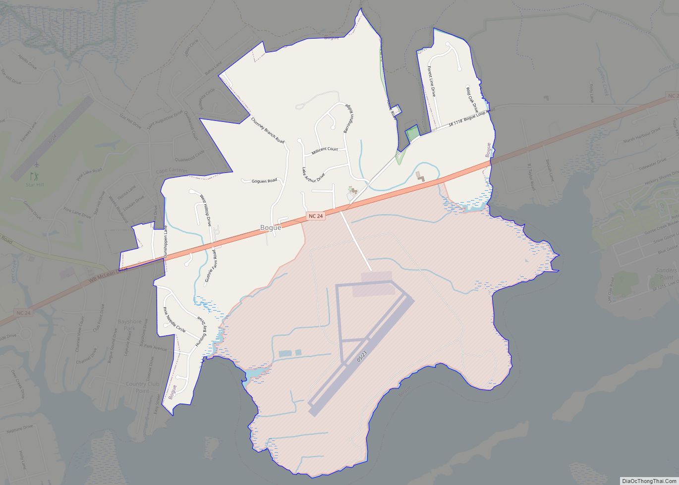
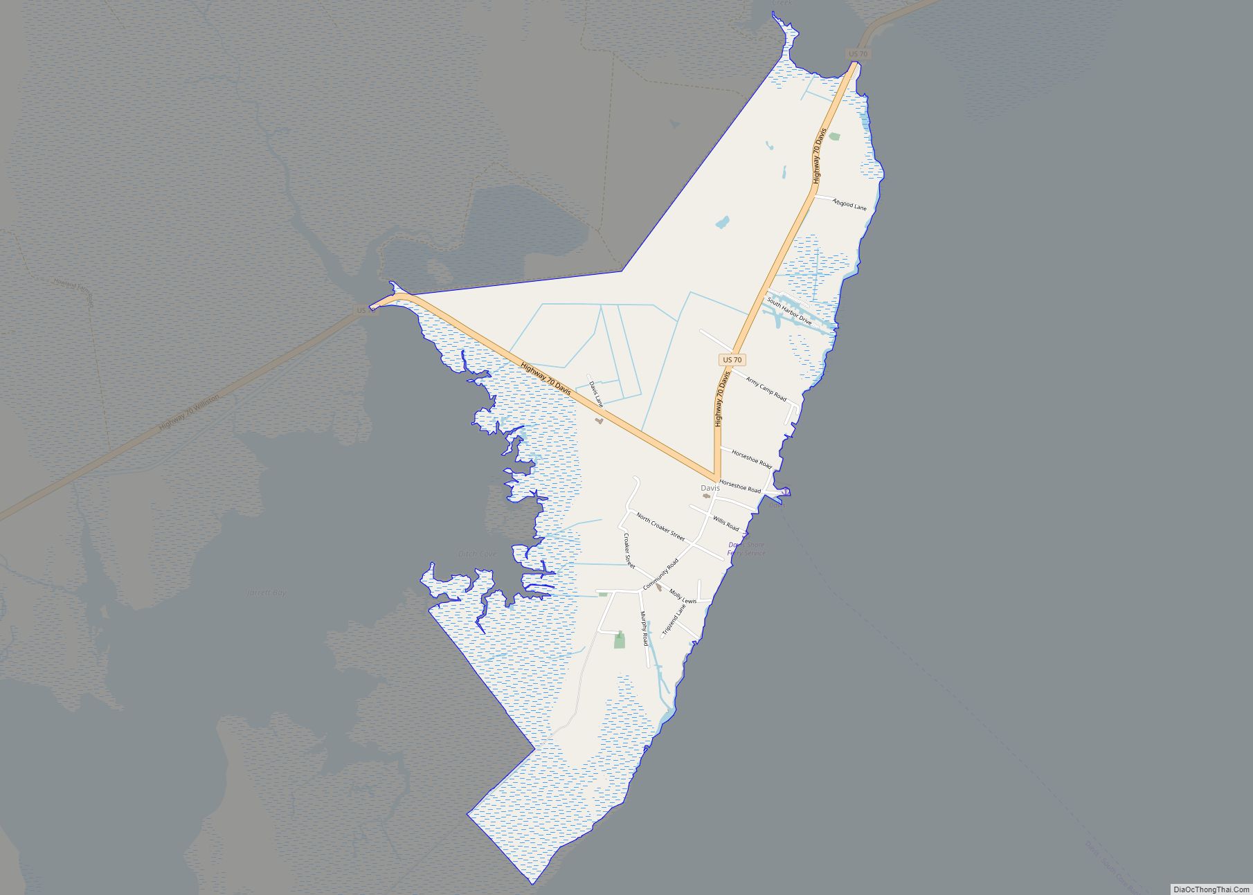
Online Interactive Map
Click on ![]() to view map in "full screen" mode.
to view map in "full screen" mode.
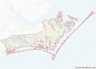
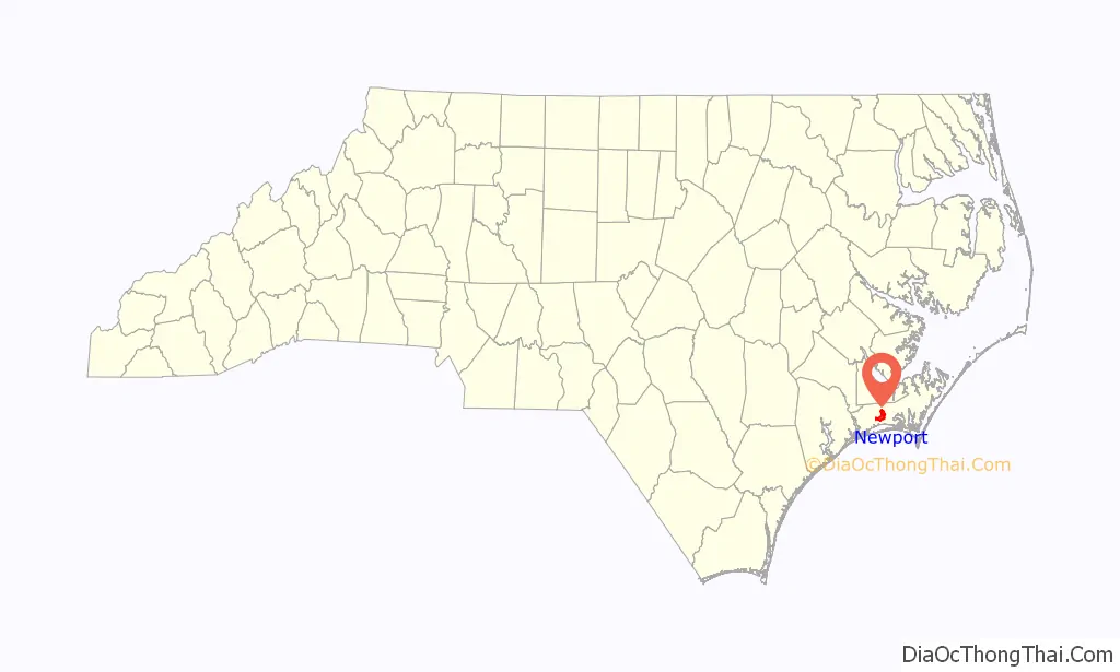
Newport location map. Where is Newport town?

History
Newport was officially chartered in 1866. Although the crossroads community on the Newport River was known by that name decades earlier, the area was also known as Bell’s Corner and Shepardsville in earlier years. It was the location of the Newport Barracks, a Union camp during the American Civil War.
It was also called Shepardsville, in the early 18th century, for Shepard, a local landowner. The naming of “Newport” can be traced to two prevalent theories: the town was called “New Port” to distinguish it from the “Old Port “ of Beaufort, N.C.; and the early influx of Quakers from Rhode Island called the town “Newport” in honor of their native Newport, R.I.Town of Newport, NC web page
Early industry included agriculture, logging, and naval stores, including turpentine production. During the town’s early history, the Newport River was navigable all the way to Old Topsail Inlet, now known as Beaufort Inlet, which opens to the Atlantic Ocean. The town was home to one of the earliest organized churches in Carteret County, the Newport River Primitive Baptist Church, established 1778. The structure was burned near the end of the Civil War but was soon rebuilt on Church Street and remains active today.
In 1858, the Atlantic and North Carolina Railroad was completed when the final 96-mile (154 km) stretch of rail from Goldsboro through Newport to Beaufort was laid. The community is also the site of numerous Civil War battlefields, forts, and strategic locations. Newport was occupied by Union forces for much of the war.
Part of the town’s residential area known as the “housing project” was originally developed as housing for civil service employees and military serving at nearby Marine Corps Air Station Cherry Point.
Newport Road Map
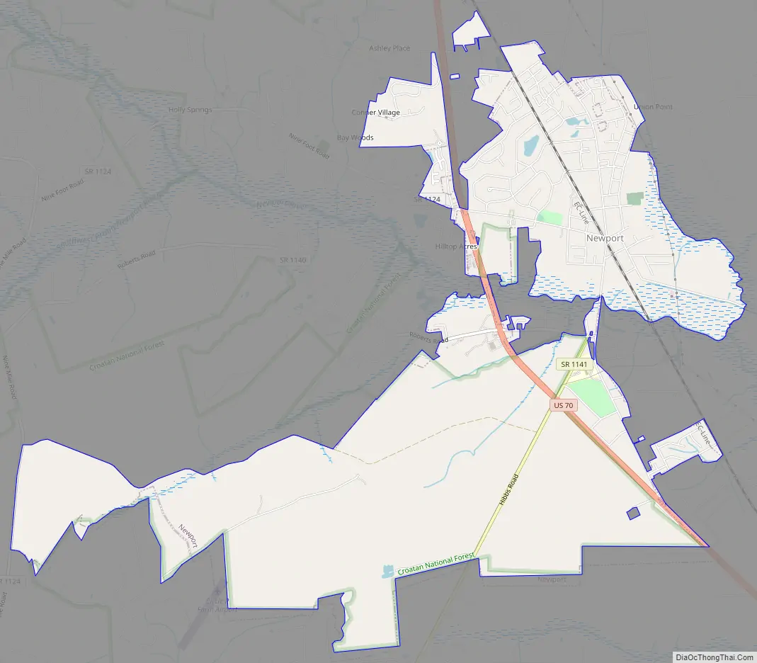
Newport city Satellite Map

Geography
Newport is located in west-central Carteret County at 34°47′16″N 76°52′00″W / 34.787705°N 76.866585°W / 34.787705; -76.866585Coordinates: 34°47′16″N 76°52′00″W / 34.787705°N 76.866585°W / 34.787705; -76.866585 (34.787705, -76.866585). U.S. Route 70, a four-lane highway, passes through the town west of the center; it leads southeast 10 miles (16 km) to Morehead City and north 7 miles (11 km) to Havelock. New Bern is 25 miles (40 km) to the north up US-70.
According to the United States Census Bureau, Newport has a total area of 7.7 square miles (20.0 km), of which 7.7 square miles (19.9 km) is land and 0.08 square miles (0.2 km), or 0.85%, is water.
See also
Map of North Carolina State and its subdivision:- Alamance
- Alexander
- Alleghany
- Anson
- Ashe
- Avery
- Beaufort
- Bertie
- Bladen
- Brunswick
- Buncombe
- Burke
- Cabarrus
- Caldwell
- Camden
- Carteret
- Caswell
- Catawba
- Chatham
- Cherokee
- Chowan
- Clay
- Cleveland
- Columbus
- Craven
- Cumberland
- Currituck
- Dare
- Davidson
- Davie
- Duplin
- Durham
- Edgecombe
- Forsyth
- Franklin
- Gaston
- Gates
- Graham
- Granville
- Greene
- Guilford
- Halifax
- Harnett
- Haywood
- Henderson
- Hertford
- Hoke
- Hyde
- Iredell
- Jackson
- Johnston
- Jones
- Lee
- Lenoir
- Lincoln
- Macon
- Madison
- Martin
- McDowell
- Mecklenburg
- Mitchell
- Montgomery
- Moore
- Nash
- New Hanover
- Northampton
- Onslow
- Orange
- Pamlico
- Pasquotank
- Pender
- Perquimans
- Person
- Pitt
- Polk
- Randolph
- Richmond
- Robeson
- Rockingham
- Rowan
- Rutherford
- Sampson
- Scotland
- Stanly
- Stokes
- Surry
- Swain
- Transylvania
- Tyrrell
- Union
- Vance
- Wake
- Warren
- Washington
- Watauga
- Wayne
- Wilkes
- Wilson
- Yadkin
- Yancey
- Alabama
- Alaska
- Arizona
- Arkansas
- California
- Colorado
- Connecticut
- Delaware
- District of Columbia
- Florida
- Georgia
- Hawaii
- Idaho
- Illinois
- Indiana
- Iowa
- Kansas
- Kentucky
- Louisiana
- Maine
- Maryland
- Massachusetts
- Michigan
- Minnesota
- Mississippi
- Missouri
- Montana
- Nebraska
- Nevada
- New Hampshire
- New Jersey
- New Mexico
- New York
- North Carolina
- North Dakota
- Ohio
- Oklahoma
- Oregon
- Pennsylvania
- Rhode Island
- South Carolina
- South Dakota
- Tennessee
- Texas
- Utah
- Vermont
- Virginia
- Washington
- West Virginia
- Wisconsin
- Wyoming