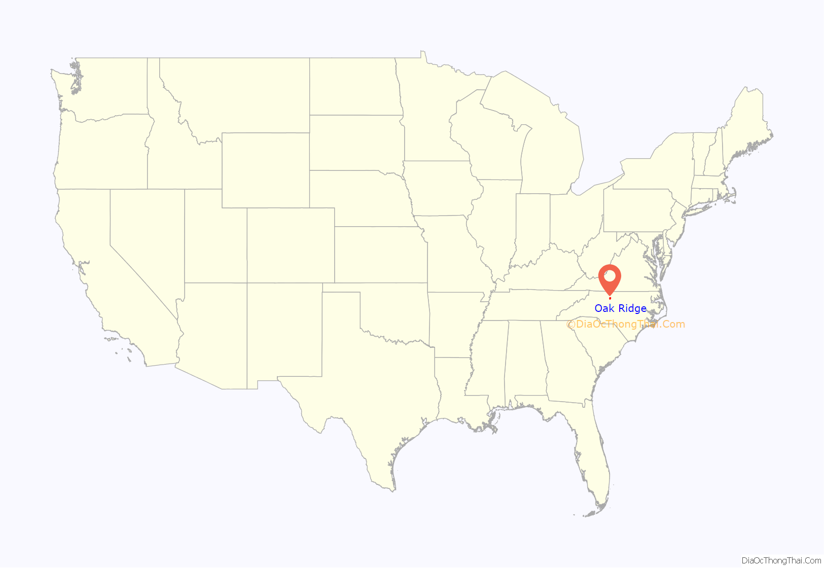
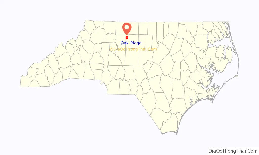
Oak Ridge is a town in northwestern Guilford County, North Carolina, United States. The population was 6,185 at the 2010 census, up from 3,988 in 2000. As of 2018, the population had risen to an estimated 6,977. Oak Ridge is 15 miles (24 km) northwest of the center of Greensboro, North Carolina’s third-largest city, and it is a part of the Piedmont Triad urban area.
| Name: | Oak Ridge town |
|---|---|
| LSAD Code: | 43 |
| LSAD Description: | town (suffix) |
| State: | North Carolina |
| County: | Guilford County |
| Elevation: | 948 ft (289 m) |
| Total Area: | 16.89 sq mi (43.75 km²) |
| Land Area: | 16.75 sq mi (43.38 km²) |
| Water Area: | 0.14 sq mi (0.37 km²) |
| Population Density: | 446.24/sq mi (172.29/km²) |
| ZIP code: | 27310, 27284 |
| Area code: | 336 |
| FIPS code: | 3748480 |
| GNISfeature ID: | 0991433 |
| Website: | www.oakridgenc.com |
Online Interactive Map
Click on ![]() to view map in "full screen" mode.
to view map in "full screen" mode.
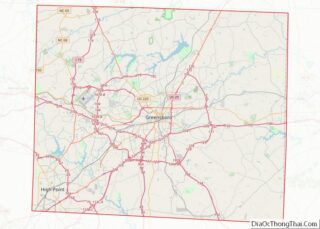
Oak Ridge location map. Where is Oak Ridge town?
History
The town is home to Oak Ridge Military Academy, a private, co-educational, college-preparatory military boarding school. Founded in 1852, it is the third-oldest military school in the nation still in operation, and it is the official military school of North Carolina, as designated by the state legislature.
Until the late 1990s, the Oak Ridge area was mostly rural farmland with numerous tobacco farms. However, since its incorporation as a town in 1998, Oak Ridge has seen rapid growth in its population. Many of the area’s farms have been sold to developers and turned into upper-class housing developments, and several shopping centers have been built along the NC 68 corridor, especially at its intersection with Oak Ridge Road (NC 150), near the military academy.
Each Easter weekend from 1945 to 2013, the community hosted a popular horse show.
The Jesse Benbow House II, Guilford Mill, and Oak Ridge Military Academy Historic District are listed on the National Register of Historic Places.
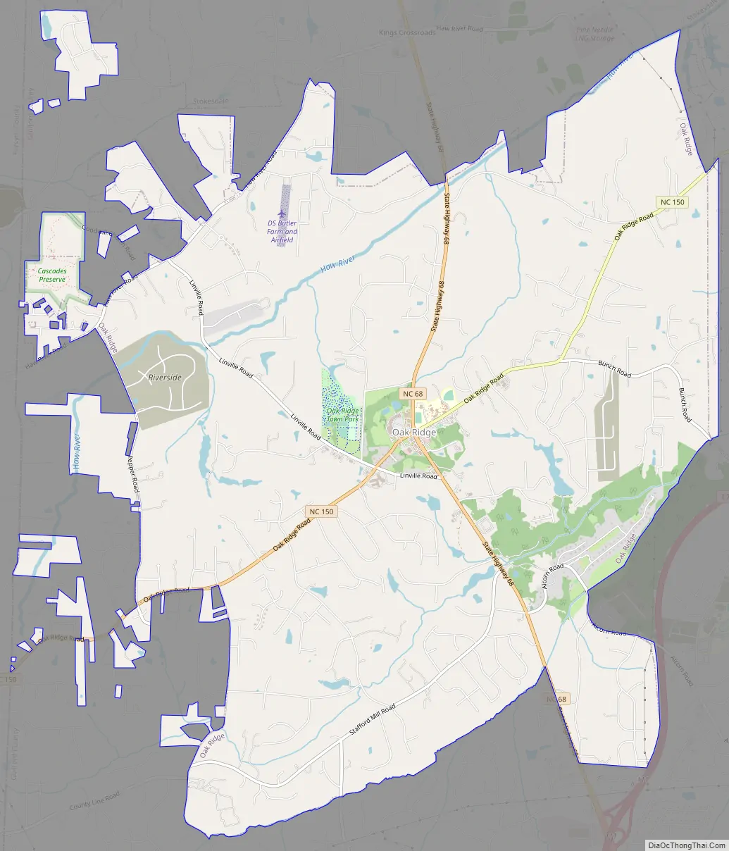
Oak Ridge Road Map
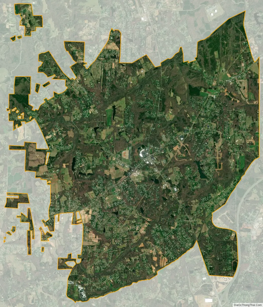
Oak Ridge city Satellite Map
Geography
Oak Ridge is located in northwestern Guilford County at 36°10′1″N 79°58′57″W / 36.16694°N 79.98250°W / 36.16694; -79.98250 (36.166944, -79.982577). It is bordered to the north by Stokesdale, to the east by Summerfield, and to the west by Kernersville. North Carolina Highway 150 (named “Oak Ridge Road”) leads east to Summerfield, and west to Kernersville. North Carolina Highway 68 is the main north-south highway through town, and leads north to US 158 in Stokesdale, and south to Interstates 73 and 40 on the west side of Greensboro; downtown Greensboro is 15 miles (24 km) southeast of Oak Ridge. Piedmont Triad International Airport is 5 miles (8 km) south of the center of Oak Ridge.
According to the United States Census Bureau, the town has a total area of 15.5 square miles (40.2 km), of which 15.4 square miles (39.8 km) is land and 0.2 square miles (0.4 km), or 0.92%, is water.
See also
Map of North Carolina State and its subdivision:- Alamance
- Alexander
- Alleghany
- Anson
- Ashe
- Avery
- Beaufort
- Bertie
- Bladen
- Brunswick
- Buncombe
- Burke
- Cabarrus
- Caldwell
- Camden
- Carteret
- Caswell
- Catawba
- Chatham
- Cherokee
- Chowan
- Clay
- Cleveland
- Columbus
- Craven
- Cumberland
- Currituck
- Dare
- Davidson
- Davie
- Duplin
- Durham
- Edgecombe
- Forsyth
- Franklin
- Gaston
- Gates
- Graham
- Granville
- Greene
- Guilford
- Halifax
- Harnett
- Haywood
- Henderson
- Hertford
- Hoke
- Hyde
- Iredell
- Jackson
- Johnston
- Jones
- Lee
- Lenoir
- Lincoln
- Macon
- Madison
- Martin
- McDowell
- Mecklenburg
- Mitchell
- Montgomery
- Moore
- Nash
- New Hanover
- Northampton
- Onslow
- Orange
- Pamlico
- Pasquotank
- Pender
- Perquimans
- Person
- Pitt
- Polk
- Randolph
- Richmond
- Robeson
- Rockingham
- Rowan
- Rutherford
- Sampson
- Scotland
- Stanly
- Stokes
- Surry
- Swain
- Transylvania
- Tyrrell
- Union
- Vance
- Wake
- Warren
- Washington
- Watauga
- Wayne
- Wilkes
- Wilson
- Yadkin
- Yancey
- Alabama
- Alaska
- Arizona
- Arkansas
- California
- Colorado
- Connecticut
- Delaware
- District of Columbia
- Florida
- Georgia
- Hawaii
- Idaho
- Illinois
- Indiana
- Iowa
- Kansas
- Kentucky
- Louisiana
- Maine
- Maryland
- Massachusetts
- Michigan
- Minnesota
- Mississippi
- Missouri
- Montana
- Nebraska
- Nevada
- New Hampshire
- New Jersey
- New Mexico
- New York
- North Carolina
- North Dakota
- Ohio
- Oklahoma
- Oregon
- Pennsylvania
- Rhode Island
- South Carolina
- South Dakota
- Tennessee
- Texas
- Utah
- Vermont
- Virginia
- Washington
- West Virginia
- Wisconsin
- Wyoming