Pine Knoll Shores is a coastal town in Carteret County, North Carolina, United States. The population was 1,388 at the 2020 census. One of North Carolina’s state aquariums is located here.
| Name: | Pine Knoll Shores town |
|---|---|
| LSAD Code: | 43 |
| LSAD Description: | town (suffix) |
| State: | North Carolina |
| County: | Carteret County |
| Elevation: | 7 ft (2 m) |
| Total Area: | 6.92 sq mi (17.91 km²) |
| Land Area: | 2.21 sq mi (5.72 km²) |
| Water Area: | 4.71 sq mi (12.19 km²) |
| Total Population: | 1,388 |
| Population Density: | 628.34/sq mi (242.63/km²) |
| ZIP code: | 28512 |
| Area code: | 252 |
| FIPS code: | 3752000 |
| GNISfeature ID: | 1000891 |
| Website: | www.townofpks.com |
Online Interactive Map
Click on ![]() to view map in "full screen" mode.
to view map in "full screen" mode.
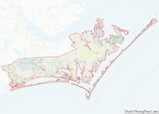
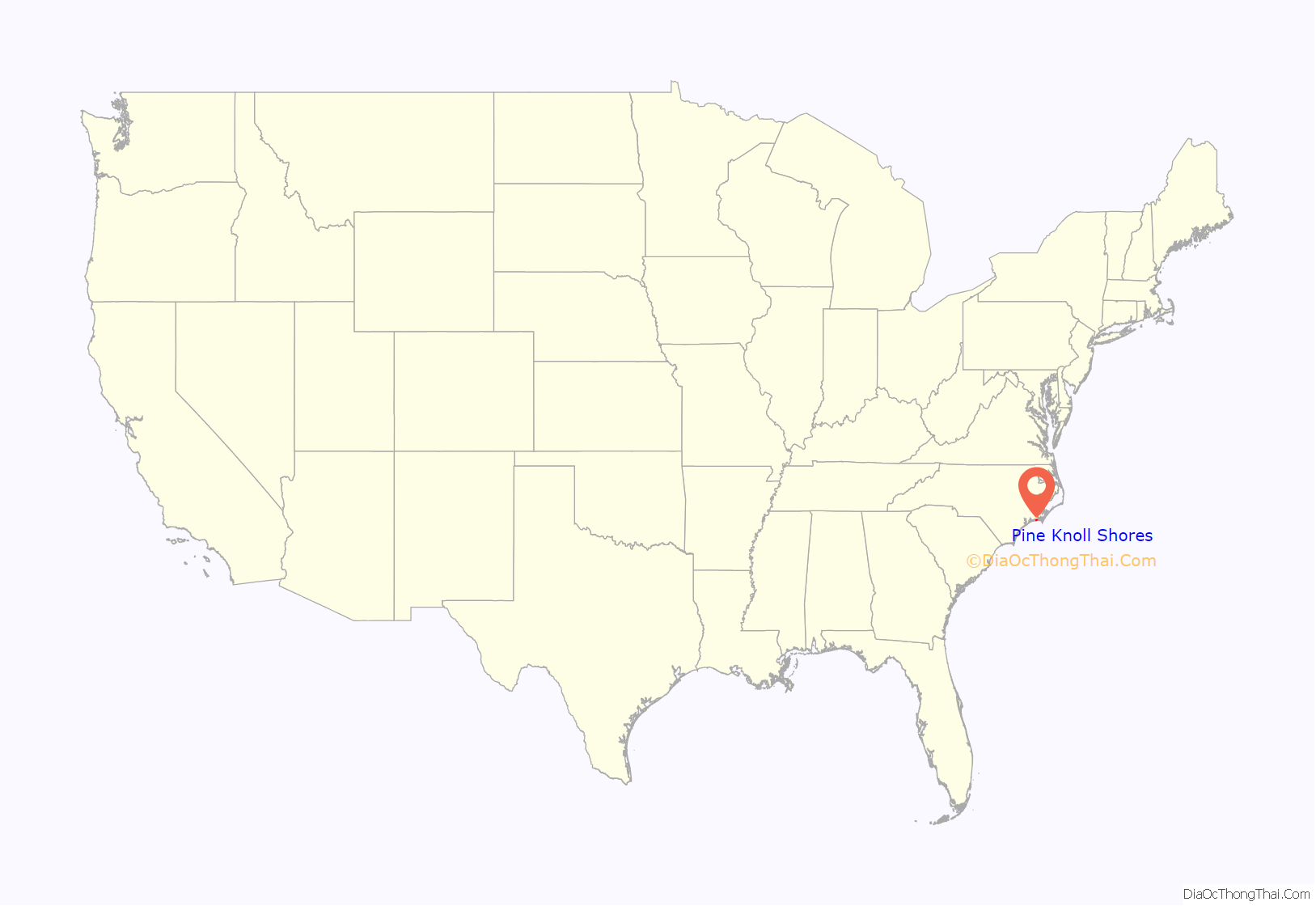
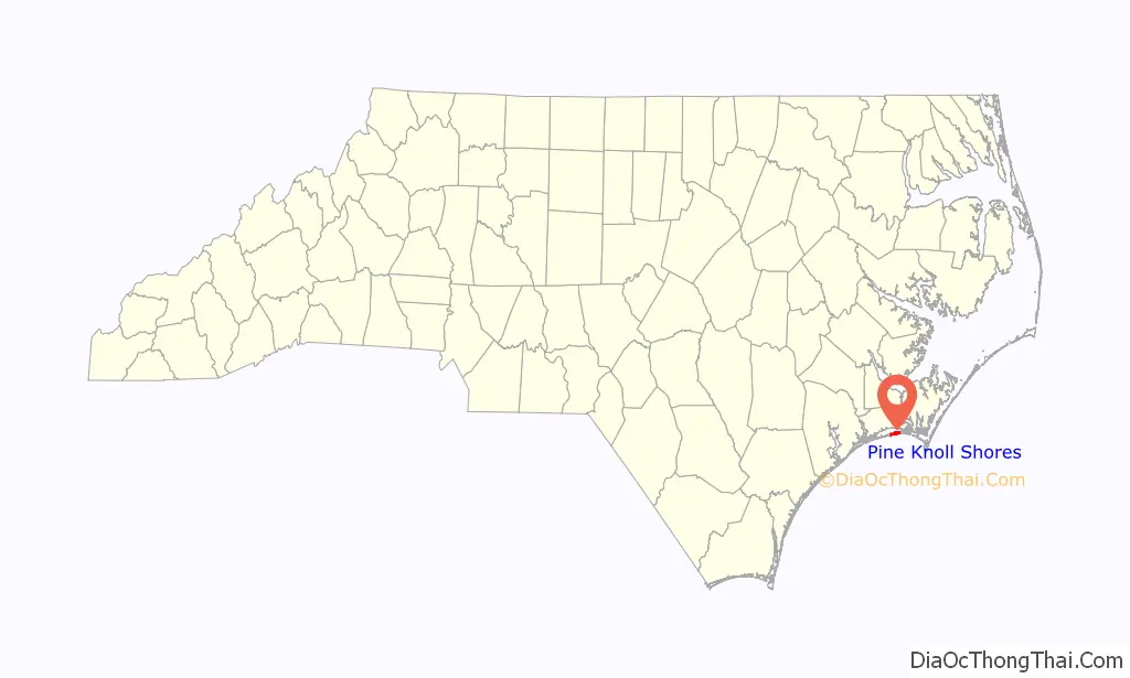
Pine Knoll Shores location map. Where is Pine Knoll Shores town?
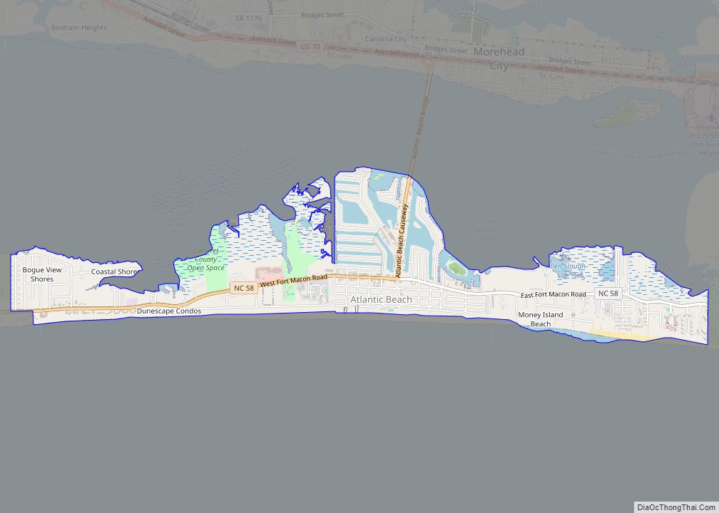
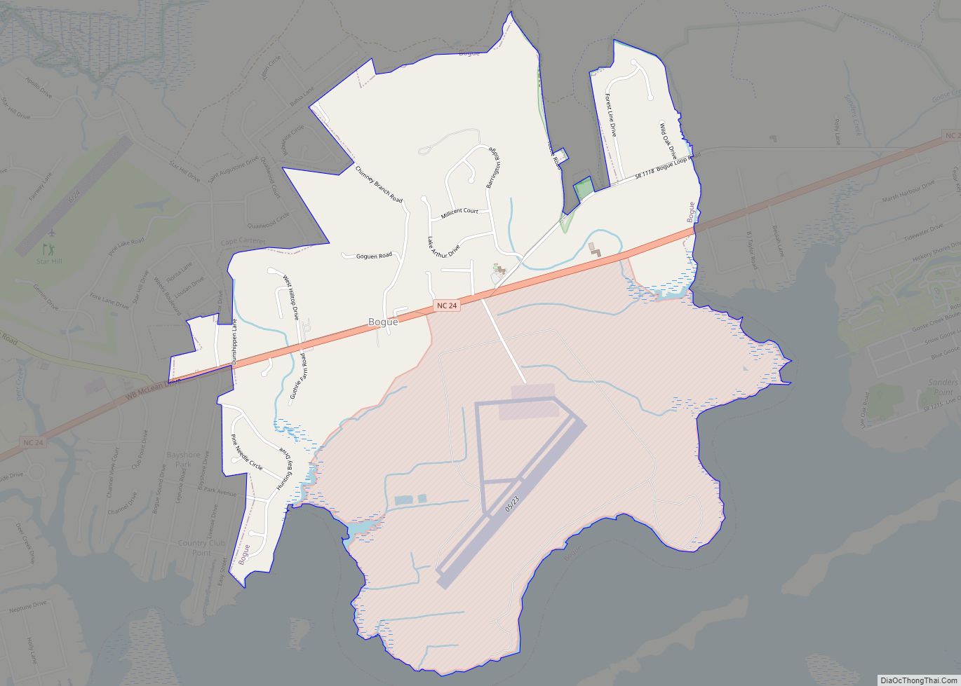
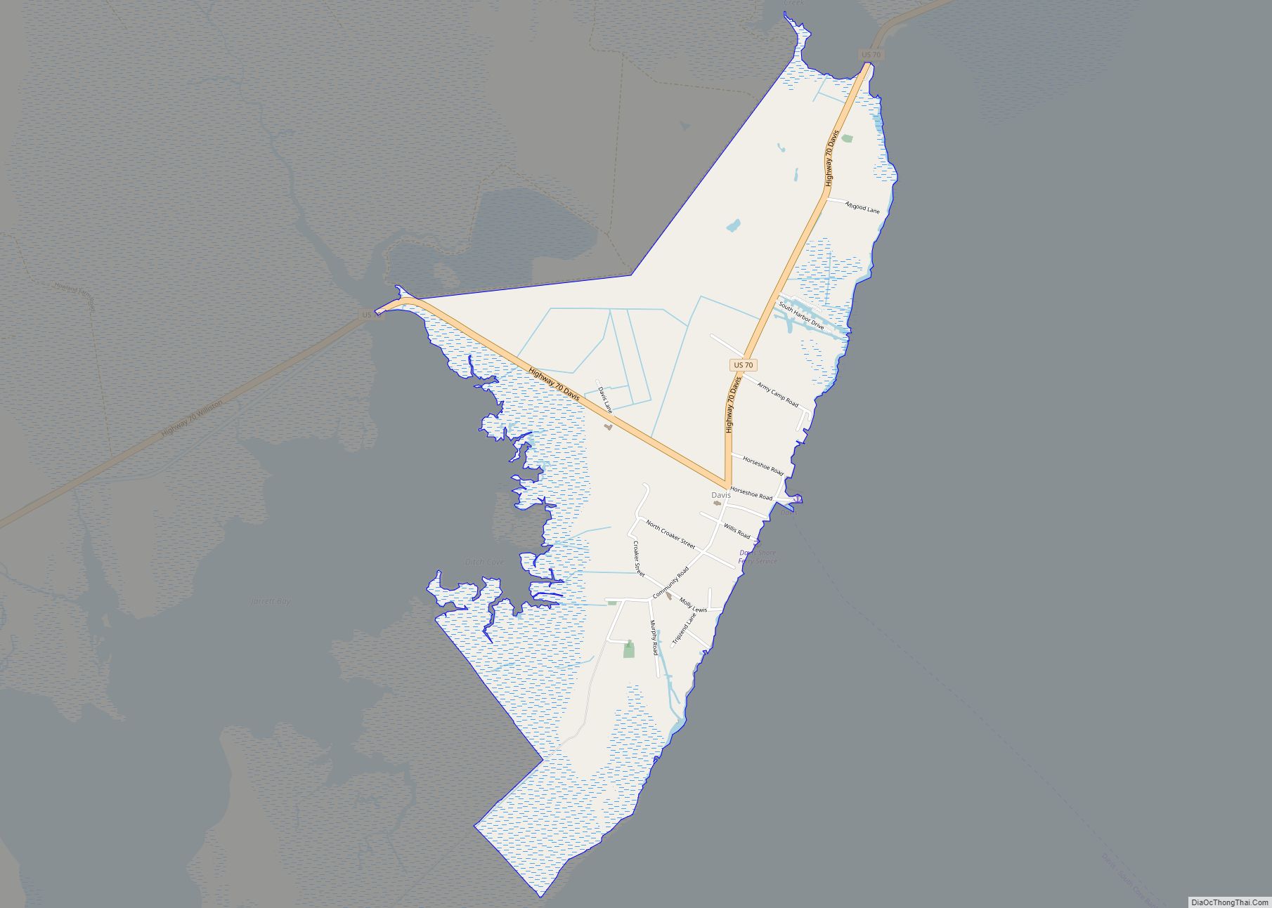
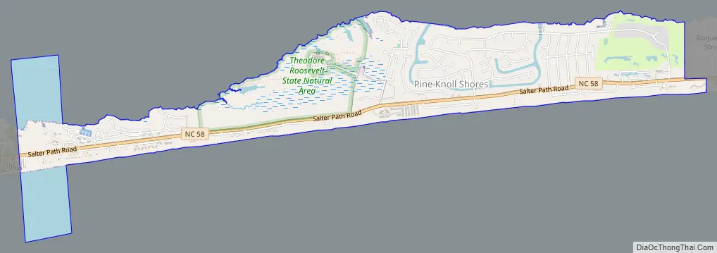
Pine Knoll Shores Road Map
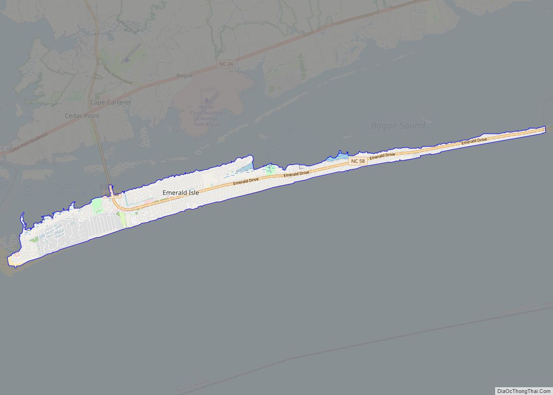
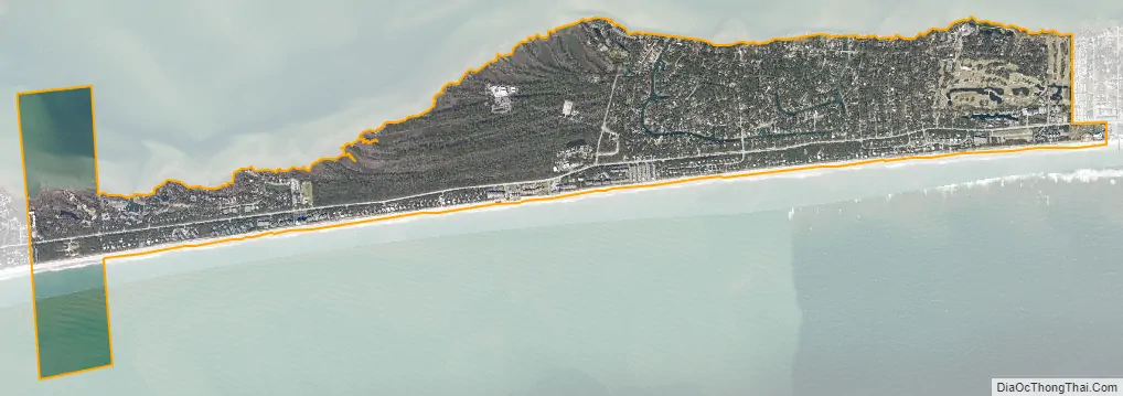
Pine Knoll Shores city Satellite Map
Geography
Pine Knoll Shores is located in southwestern Carteret County at 34°41′45″N 76°49′4″W / 34.69583°N 76.81778°W / 34.69583; -76.81778 (34.695840, -76.817875), on Bogue Banks, a barrier island along the Atlantic Ocean. It is bordered to the west by the town of Indian Beach and to the east by the town of Atlantic Beach. To the north is Bogue Sound, and to the south is the Atlantic Ocean.
North Carolina Highway 58 passes through the town, traveling the length of Bogue Banks. To the east, NC 58 connects with a bridge to Morehead City on the mainland, and to the west, NC 58 crosses Bogue Sound from Emerald Isle to Cape Carteret on the mainland.
According to the United States Census Bureau, Pine Knoll Shores has a total area of 2.5 square miles (6.6 km), of which 2.2 square miles (5.8 km) is land and 0.31 square miles (0.8 km), or 12.54%, is water.
See also
Map of North Carolina State and its subdivision:- Alamance
- Alexander
- Alleghany
- Anson
- Ashe
- Avery
- Beaufort
- Bertie
- Bladen
- Brunswick
- Buncombe
- Burke
- Cabarrus
- Caldwell
- Camden
- Carteret
- Caswell
- Catawba
- Chatham
- Cherokee
- Chowan
- Clay
- Cleveland
- Columbus
- Craven
- Cumberland
- Currituck
- Dare
- Davidson
- Davie
- Duplin
- Durham
- Edgecombe
- Forsyth
- Franklin
- Gaston
- Gates
- Graham
- Granville
- Greene
- Guilford
- Halifax
- Harnett
- Haywood
- Henderson
- Hertford
- Hoke
- Hyde
- Iredell
- Jackson
- Johnston
- Jones
- Lee
- Lenoir
- Lincoln
- Macon
- Madison
- Martin
- McDowell
- Mecklenburg
- Mitchell
- Montgomery
- Moore
- Nash
- New Hanover
- Northampton
- Onslow
- Orange
- Pamlico
- Pasquotank
- Pender
- Perquimans
- Person
- Pitt
- Polk
- Randolph
- Richmond
- Robeson
- Rockingham
- Rowan
- Rutherford
- Sampson
- Scotland
- Stanly
- Stokes
- Surry
- Swain
- Transylvania
- Tyrrell
- Union
- Vance
- Wake
- Warren
- Washington
- Watauga
- Wayne
- Wilkes
- Wilson
- Yadkin
- Yancey
- Alabama
- Alaska
- Arizona
- Arkansas
- California
- Colorado
- Connecticut
- Delaware
- District of Columbia
- Florida
- Georgia
- Hawaii
- Idaho
- Illinois
- Indiana
- Iowa
- Kansas
- Kentucky
- Louisiana
- Maine
- Maryland
- Massachusetts
- Michigan
- Minnesota
- Mississippi
- Missouri
- Montana
- Nebraska
- Nevada
- New Hampshire
- New Jersey
- New Mexico
- New York
- North Carolina
- North Dakota
- Ohio
- Oklahoma
- Oregon
- Pennsylvania
- Rhode Island
- South Carolina
- South Dakota
- Tennessee
- Texas
- Utah
- Vermont
- Virginia
- Washington
- West Virginia
- Wisconsin
- Wyoming