Pleasant Garden is a town in Guilford County, North Carolina, United States. The population was 4,489 at the 2010 census.
| Name: | Pleasant Garden town |
|---|---|
| LSAD Code: | 43 |
| LSAD Description: | town (suffix) |
| State: | North Carolina |
| County: | Guilford County |
| Elevation: | 850 ft (259 m) |
| Total Area: | 15.16 sq mi (39.25 km²) |
| Land Area: | 15.04 sq mi (38.95 km²) |
| Water Area: | 0.12 sq mi (0.31 km²) |
| Total Population: | 5,000 |
| Population Density: | 332.51/sq mi (128.39/km²) |
| ZIP code: | 27313 |
| Area code: | 336 |
| FIPS code: | 3752760 |
| GNISfeature ID: | 1021999 |
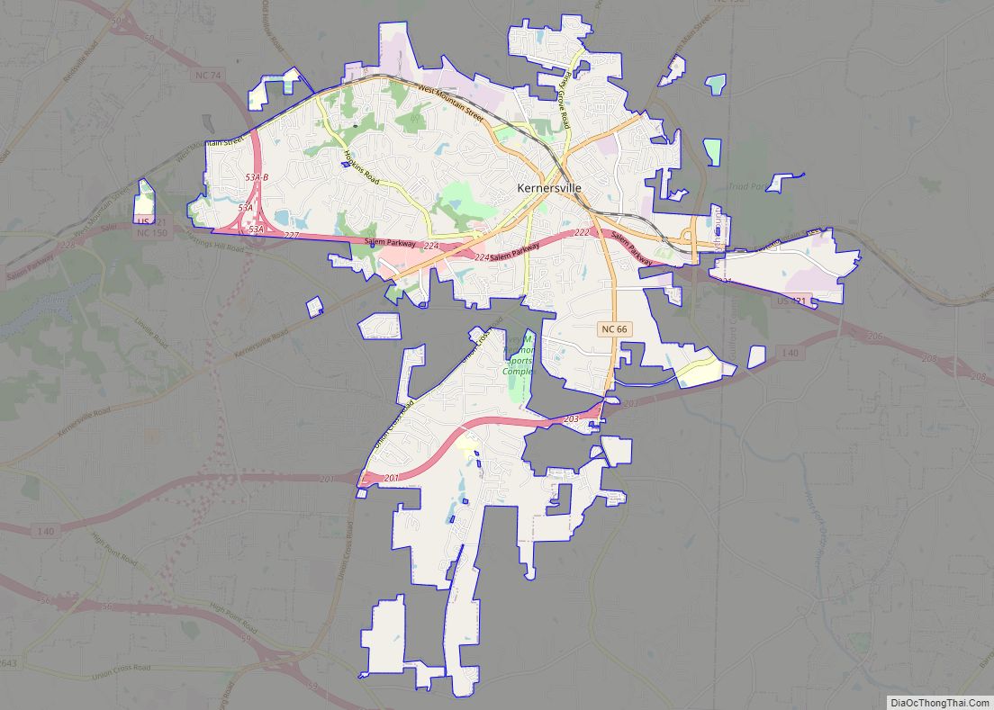
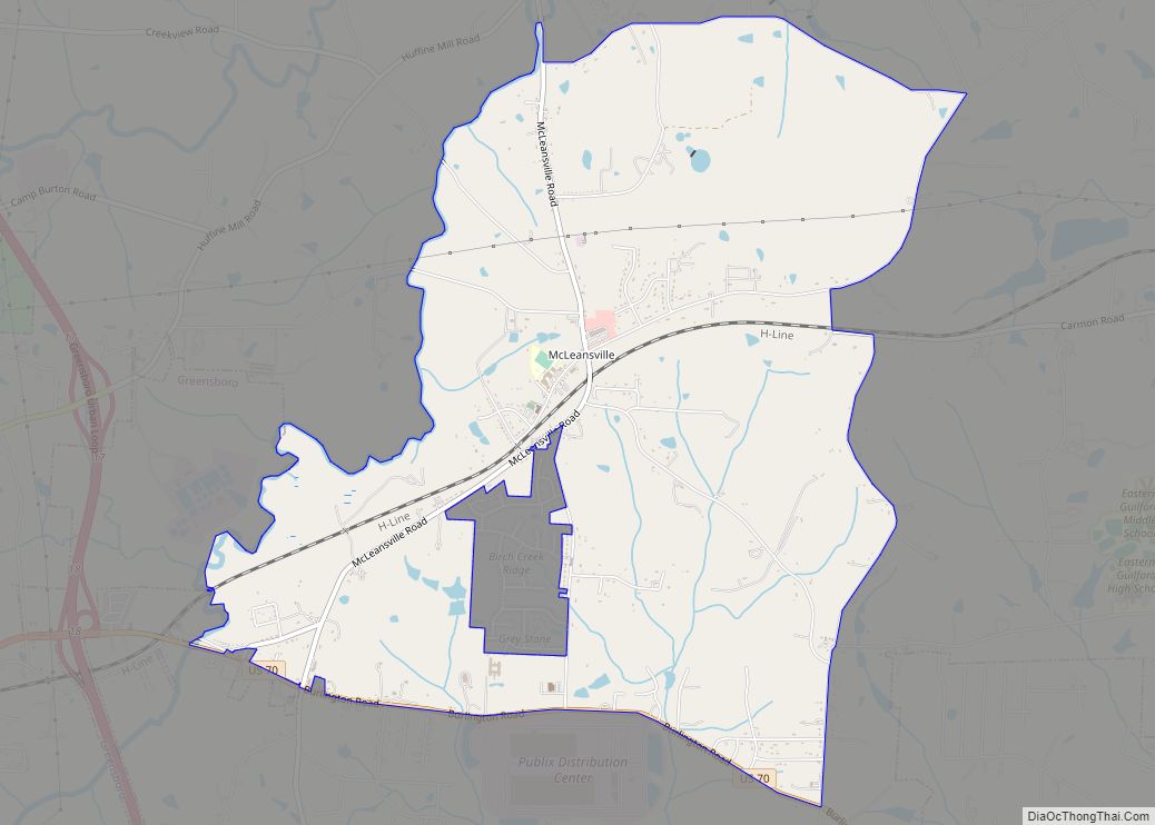
Online Interactive Map
Click on ![]() to view map in "full screen" mode.
to view map in "full screen" mode.
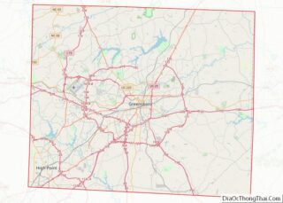
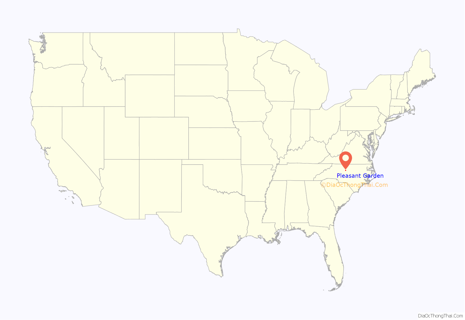
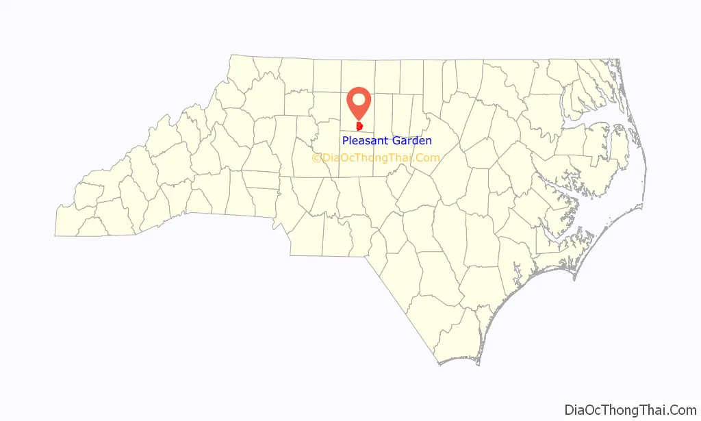
Pleasant Garden location map. Where is Pleasant Garden town?
History
Incorporated in 1997 from Fentress Township, Pleasant Garden was first settled in 1786, and known as a business district by that name from at least 1876.
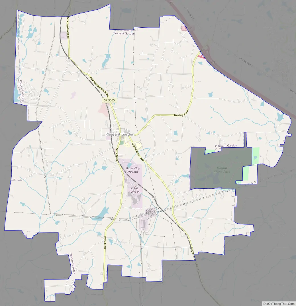
Pleasant Garden Road Map
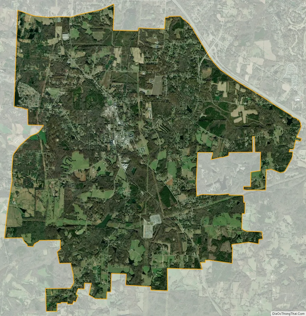
Pleasant Garden city Satellite Map
Geography
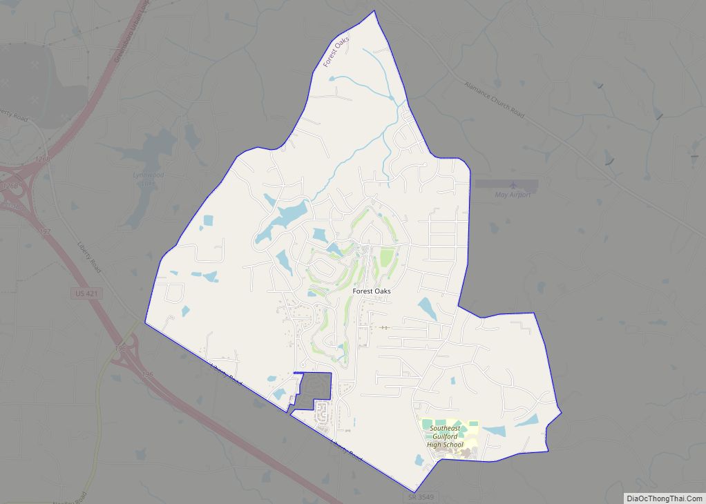
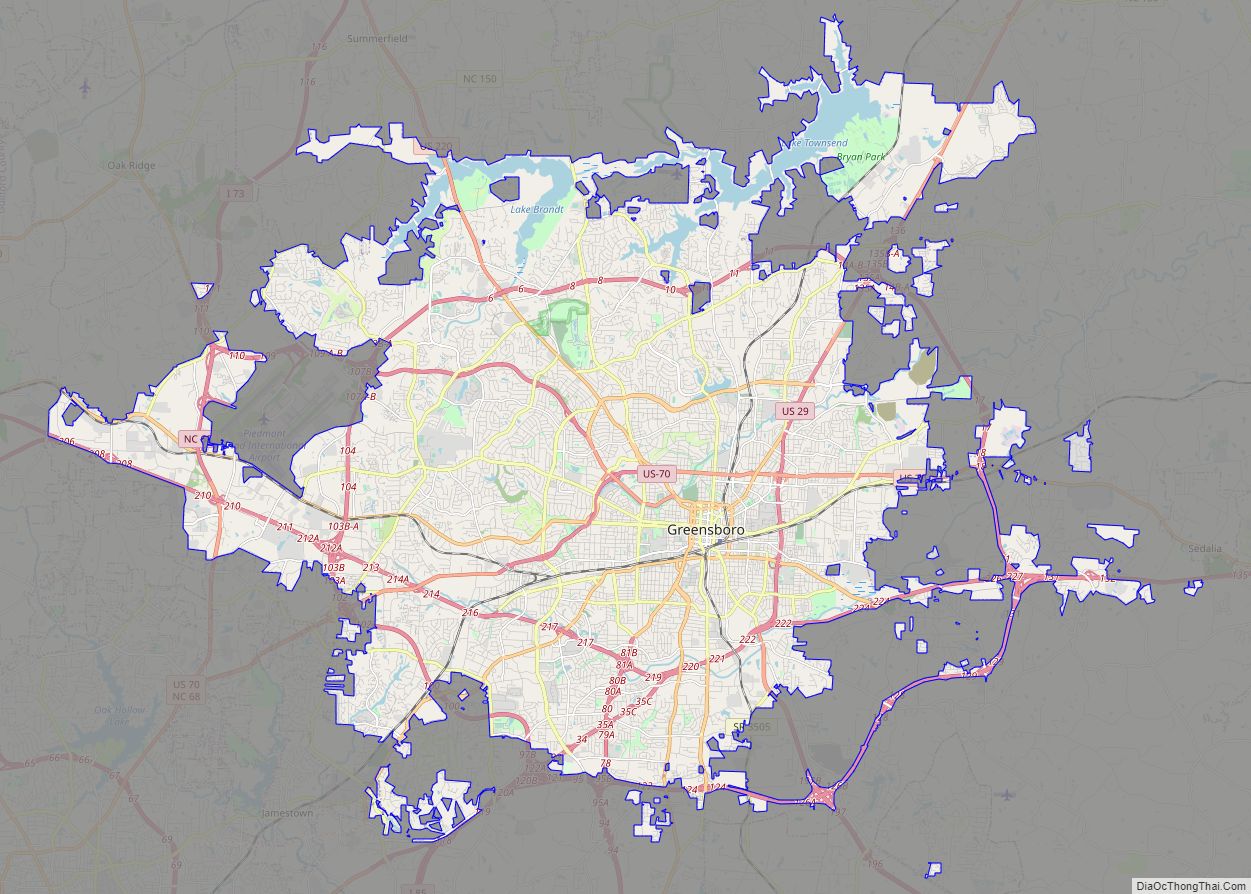
Pleasant Garden is located at 35°57′40″N 79°45′48″W / 35.96111°N 79.76333°W / 35.96111; -79.76333 (35.961103, -79.763387). It is situated south of Greensboro, west of Forest Oaks, and north of Climax. It is bordered both east and west by U.S. Route 421 and Old U.S. Highway 220 (Randleman Road) (Respectively), and to the north by Interstate 85.
According to the United States Census Bureau, the town has a total area of 15.4 square miles (40 km), of which 15.3 square miles (40 km) is land and 0.04 square miles (0.10 km) (0.26%) is water.
See also
Map of North Carolina State and its subdivision:- Alamance
- Alexander
- Alleghany
- Anson
- Ashe
- Avery
- Beaufort
- Bertie
- Bladen
- Brunswick
- Buncombe
- Burke
- Cabarrus
- Caldwell
- Camden
- Carteret
- Caswell
- Catawba
- Chatham
- Cherokee
- Chowan
- Clay
- Cleveland
- Columbus
- Craven
- Cumberland
- Currituck
- Dare
- Davidson
- Davie
- Duplin
- Durham
- Edgecombe
- Forsyth
- Franklin
- Gaston
- Gates
- Graham
- Granville
- Greene
- Guilford
- Halifax
- Harnett
- Haywood
- Henderson
- Hertford
- Hoke
- Hyde
- Iredell
- Jackson
- Johnston
- Jones
- Lee
- Lenoir
- Lincoln
- Macon
- Madison
- Martin
- McDowell
- Mecklenburg
- Mitchell
- Montgomery
- Moore
- Nash
- New Hanover
- Northampton
- Onslow
- Orange
- Pamlico
- Pasquotank
- Pender
- Perquimans
- Person
- Pitt
- Polk
- Randolph
- Richmond
- Robeson
- Rockingham
- Rowan
- Rutherford
- Sampson
- Scotland
- Stanly
- Stokes
- Surry
- Swain
- Transylvania
- Tyrrell
- Union
- Vance
- Wake
- Warren
- Washington
- Watauga
- Wayne
- Wilkes
- Wilson
- Yadkin
- Yancey
- Alabama
- Alaska
- Arizona
- Arkansas
- California
- Colorado
- Connecticut
- Delaware
- District of Columbia
- Florida
- Georgia
- Hawaii
- Idaho
- Illinois
- Indiana
- Iowa
- Kansas
- Kentucky
- Louisiana
- Maine
- Maryland
- Massachusetts
- Michigan
- Minnesota
- Mississippi
- Missouri
- Montana
- Nebraska
- Nevada
- New Hampshire
- New Jersey
- New Mexico
- New York
- North Carolina
- North Dakota
- Ohio
- Oklahoma
- Oregon
- Pennsylvania
- Rhode Island
- South Carolina
- South Dakota
- Tennessee
- Texas
- Utah
- Vermont
- Virginia
- Washington
- West Virginia
- Wisconsin
- Wyoming