Prospect is a census-designated place (CDP) in Robeson County, North Carolina, United States. The population was 690 at the 2000 census. Located due northeast of Pembroke, Prospect is a traditionally Methodist community, with its church members largely becoming representatives for the entirety of the American Indian-Methodist community. Prospect is noted for one of its native sons, Adolph Dial, whose contributions to American Indian Studies have led to an heightened awareness of the local Lumbee Tribe and Native Americans throughout the Southeastern United States.
| Name: | Prospect CDP |
|---|---|
| LSAD Code: | 57 |
| LSAD Description: | CDP (suffix) |
| State: | North Carolina |
| County: | Robeson County |
| Elevation: | 190 ft (58 m) |
| Total Area: | 3.93 sq mi (10.17 km²) |
| Land Area: | 3.93 sq mi (10.17 km²) |
| Water Area: | 0.00 sq mi (0.00 km²) |
| Total Population: | 873 |
| Population Density: | 222.25/sq mi (85.81/km²) |
| FIPS code: | 3753950 |
| GNISfeature ID: | 1852666 |
Online Interactive Map
Click on ![]() to view map in "full screen" mode.
to view map in "full screen" mode.
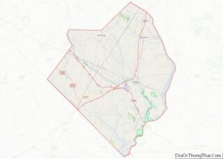
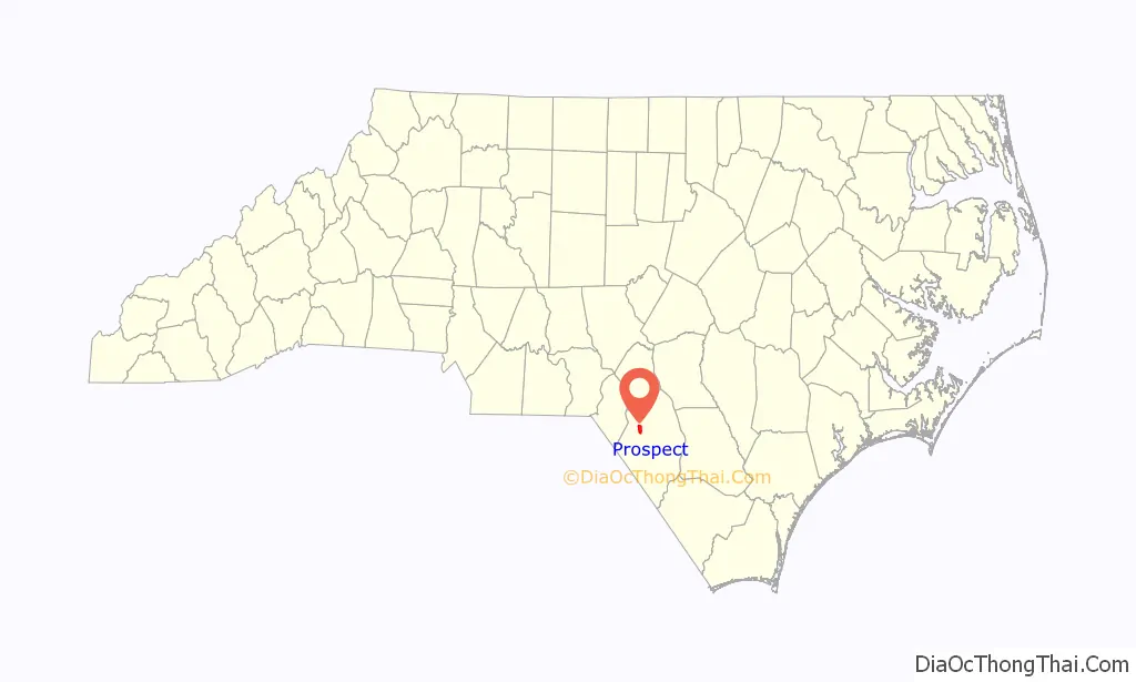
Prospect location map. Where is Prospect CDP?

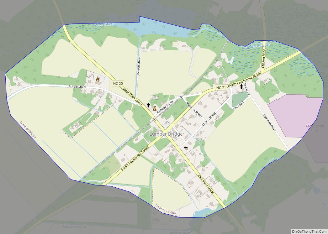
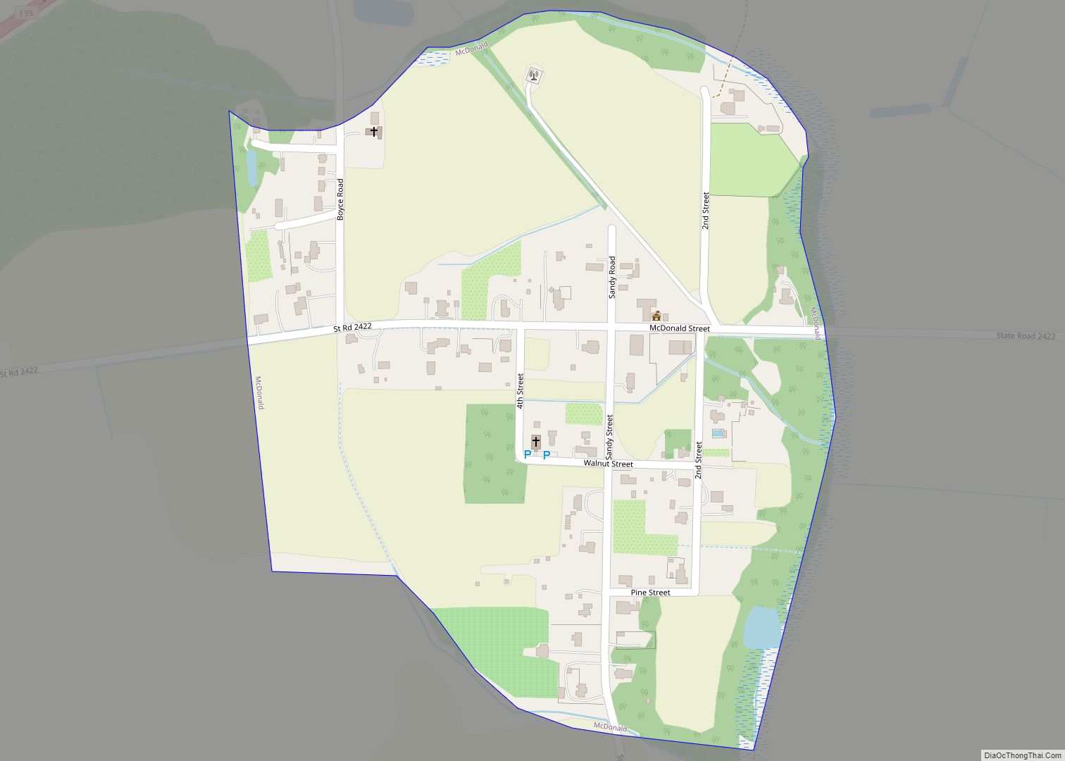
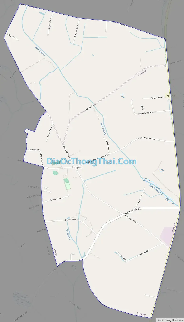
Prospect Road Map
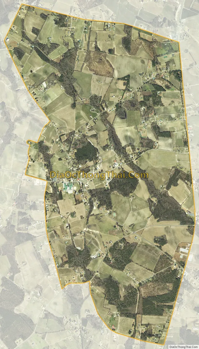
Prospect city Satellite Map
Geography
Prospect is located at 34°43′45″N 79°13′15″W / 34.72917°N 79.22083°W / 34.72917; -79.22083 (34.729295, -79.220714).
According to the United States Census Bureau, the CDP has a total area of 2.7 square miles (7.0 km), all land.
The Prospect community is general considered to cover as far east as Preston and Red Hill Roads and as far north as Old Maxton/Red Spring Rd.
See also
Map of North Carolina State and its subdivision:- Alamance
- Alexander
- Alleghany
- Anson
- Ashe
- Avery
- Beaufort
- Bertie
- Bladen
- Brunswick
- Buncombe
- Burke
- Cabarrus
- Caldwell
- Camden
- Carteret
- Caswell
- Catawba
- Chatham
- Cherokee
- Chowan
- Clay
- Cleveland
- Columbus
- Craven
- Cumberland
- Currituck
- Dare
- Davidson
- Davie
- Duplin
- Durham
- Edgecombe
- Forsyth
- Franklin
- Gaston
- Gates
- Graham
- Granville
- Greene
- Guilford
- Halifax
- Harnett
- Haywood
- Henderson
- Hertford
- Hoke
- Hyde
- Iredell
- Jackson
- Johnston
- Jones
- Lee
- Lenoir
- Lincoln
- Macon
- Madison
- Martin
- McDowell
- Mecklenburg
- Mitchell
- Montgomery
- Moore
- Nash
- New Hanover
- Northampton
- Onslow
- Orange
- Pamlico
- Pasquotank
- Pender
- Perquimans
- Person
- Pitt
- Polk
- Randolph
- Richmond
- Robeson
- Rockingham
- Rowan
- Rutherford
- Sampson
- Scotland
- Stanly
- Stokes
- Surry
- Swain
- Transylvania
- Tyrrell
- Union
- Vance
- Wake
- Warren
- Washington
- Watauga
- Wayne
- Wilkes
- Wilson
- Yadkin
- Yancey
- Alabama
- Alaska
- Arizona
- Arkansas
- California
- Colorado
- Connecticut
- Delaware
- District of Columbia
- Florida
- Georgia
- Hawaii
- Idaho
- Illinois
- Indiana
- Iowa
- Kansas
- Kentucky
- Louisiana
- Maine
- Maryland
- Massachusetts
- Michigan
- Minnesota
- Mississippi
- Missouri
- Montana
- Nebraska
- Nevada
- New Hampshire
- New Jersey
- New Mexico
- New York
- North Carolina
- North Dakota
- Ohio
- Oklahoma
- Oregon
- Pennsylvania
- Rhode Island
- South Carolina
- South Dakota
- Tennessee
- Texas
- Utah
- Vermont
- Virginia
- Washington
- West Virginia
- Wisconsin
- Wyoming