Ranlo is a small town in Gaston County, North Carolina, United States and a suburb of Charlotte, located north of Gastonia. As of the 2020 census, the town population was 4,511, up from 3,434 in 2010.
| Name: | Ranlo town |
|---|---|
| LSAD Code: | 43 |
| LSAD Description: | town (suffix) |
| State: | North Carolina |
| County: | Gaston County |
| Elevation: | 797 ft (243 m) |
| Total Area: | 2.06 sq mi (5.34 km²) |
| Land Area: | 2.06 sq mi (5.34 km²) |
| Water Area: | 0.00 sq mi (0.01 km²) |
| Total Population: | 4,511 |
| Population Density: | 2,189.81/sq mi (845.37/km²) |
| ZIP code: | 28054 |
| Area code: | 704 & 980 |
| FIPS code: | 3755260 |
| GNISfeature ID: | 0993035 |
| Website: | www.ranlo.org |
Online Interactive Map
Click on ![]() to view map in "full screen" mode.
to view map in "full screen" mode.
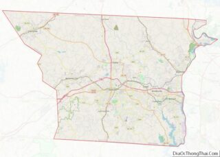
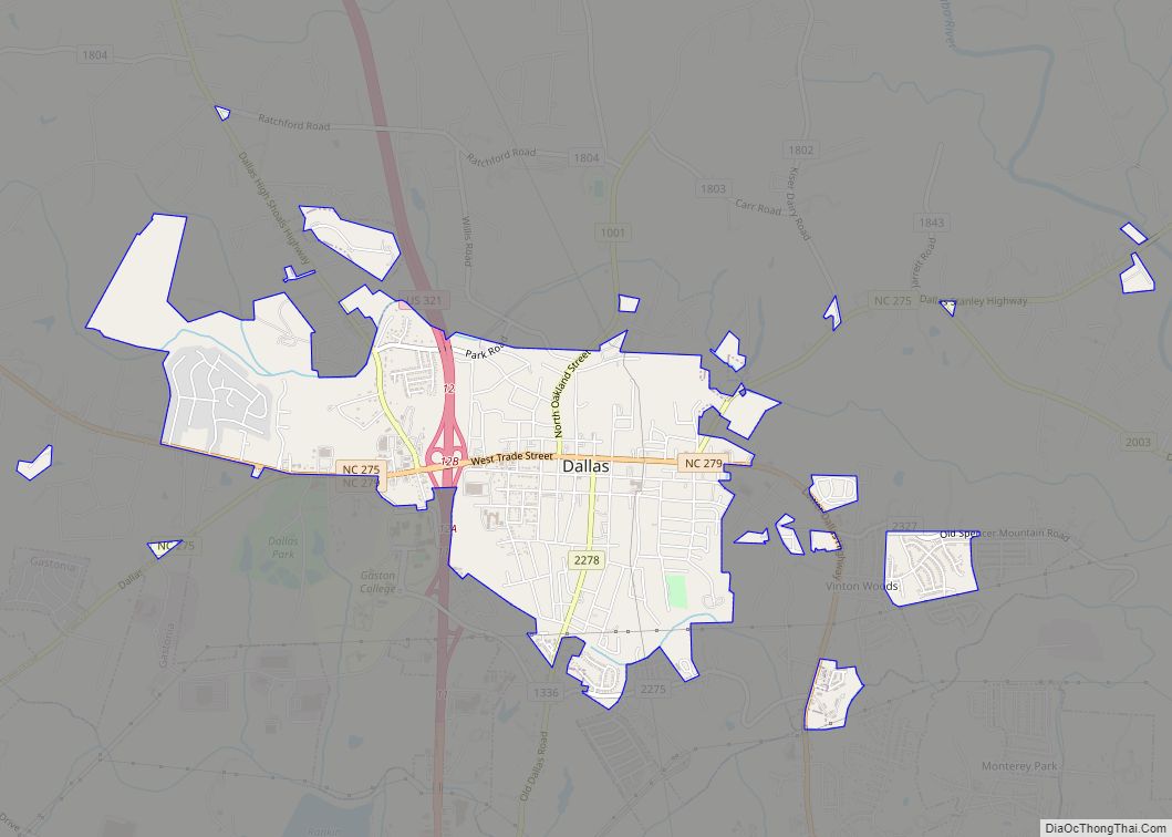
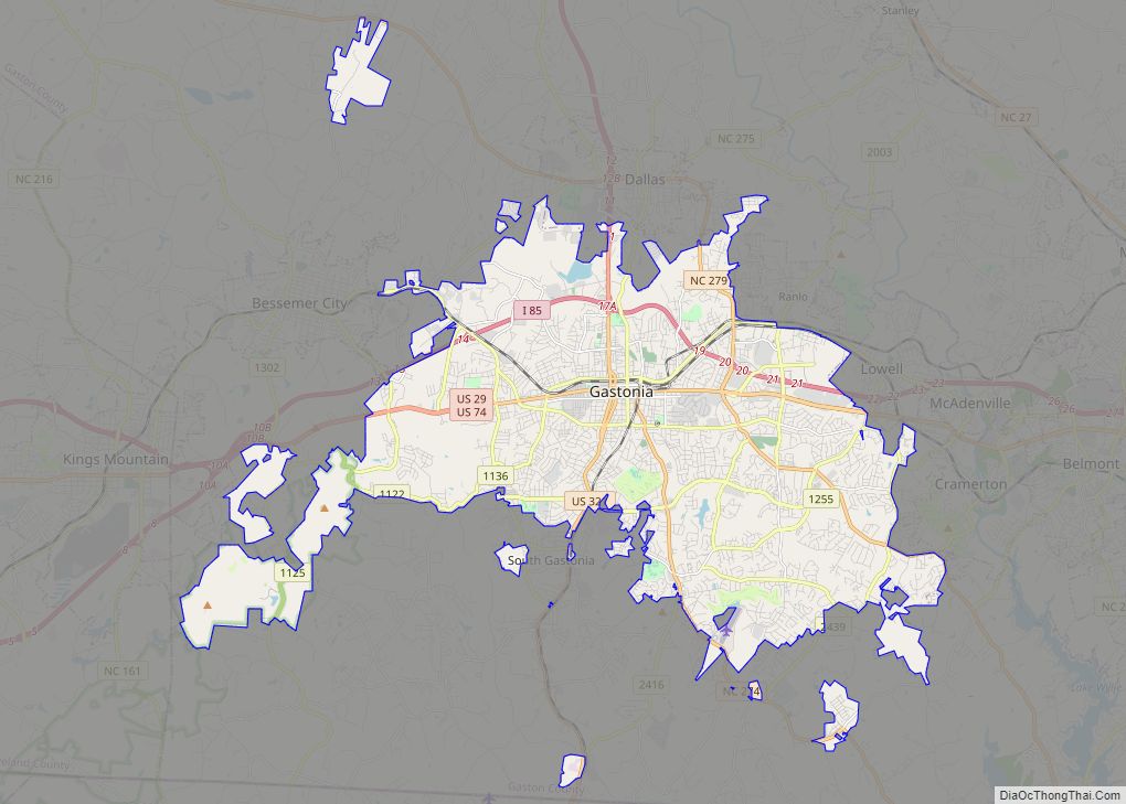
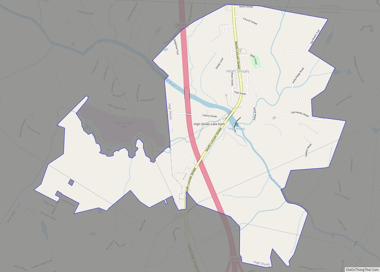
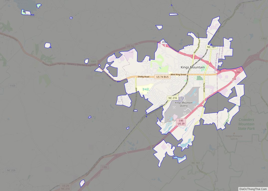
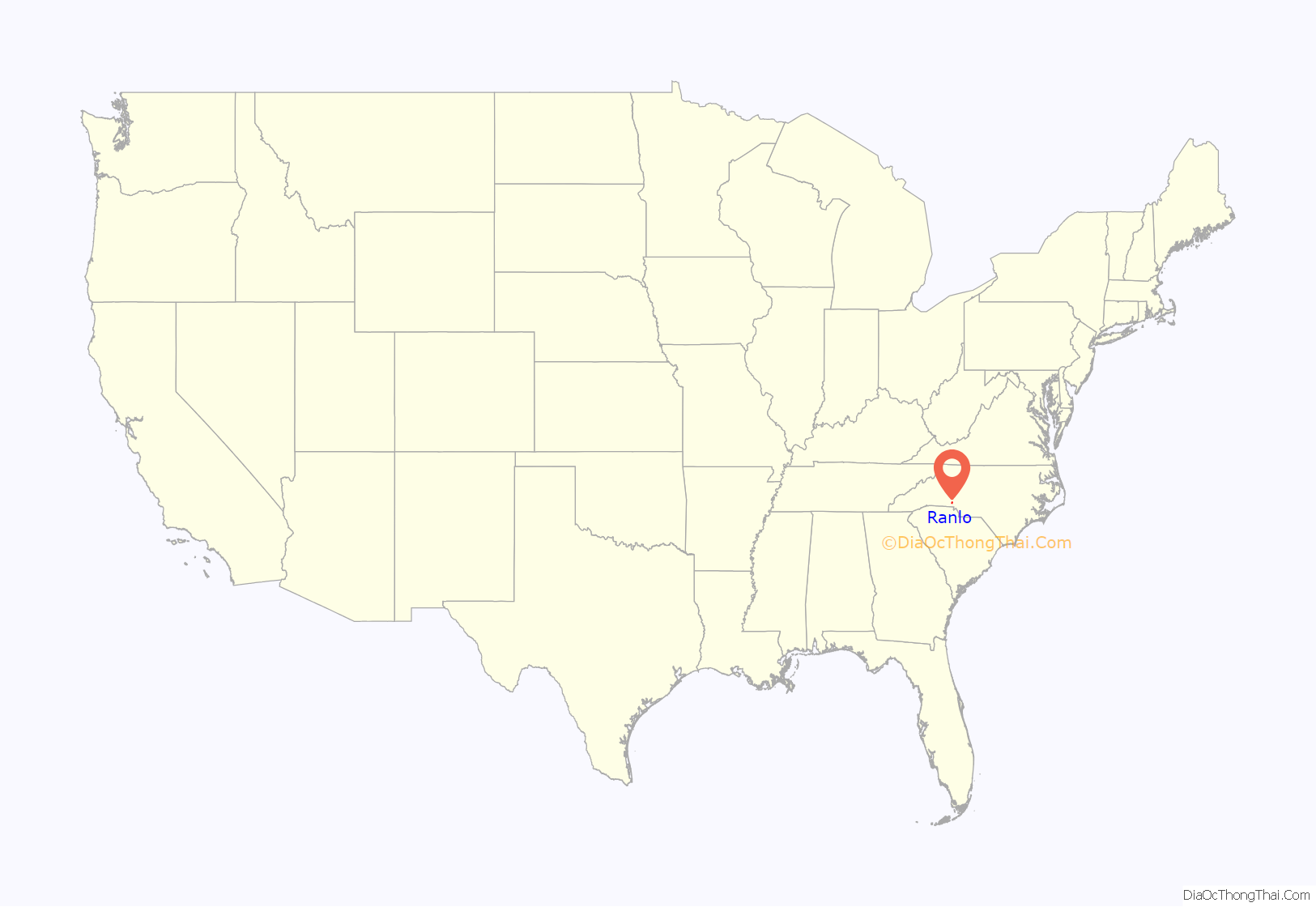
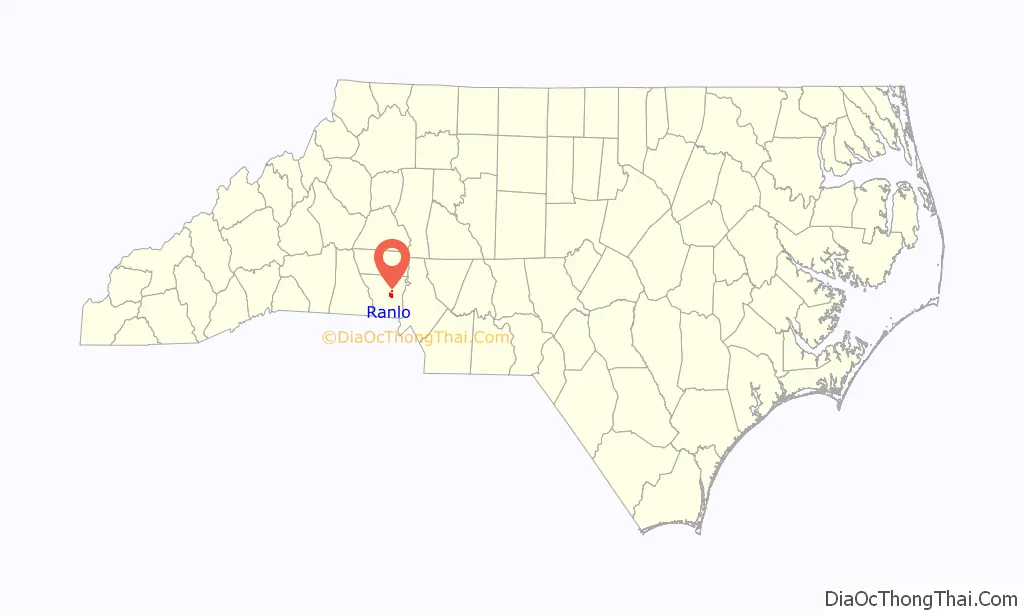
Ranlo location map. Where is Ranlo town?
History
Ranlo was named for John Calvin Rankin and William Thomas Love, two prominent area industrialists – “Ranlo” was a contraction of RANkin and LOve. The community grew up around their textile mills, which produced cotton goods. Rex Spinning Company was begun in 1915, Ranlo Manufacturing Company in 1916, and Priscilla Spinning Company in 1921. Nearby, the community of Smyre was developed around the A. M. Smyre Manufacturing Company, which was founded in 1917. In 1963, Ranlo and Smyre were incorporated as the Town of Ranlo, in reaction to the concern over possible annexation into Gastonia. However, the part of the Smyre mill village south of the Norfolk Southern Railway was not included, and was eventually annexed by Gastonia in June 1996.
Row houses were erected in the 1920s and 1930s and still stand today. At the time, they were owned by the mill and rented at very low rates to workers. They have long since been sold to individuals, and the mills are 75-80% closed. Only one or two still operate and they are at low capacity. The town, however, has become a “bedroom community” and prides itself on its facilities and growth. New industry has started to move in and new neighborhoods are being built.
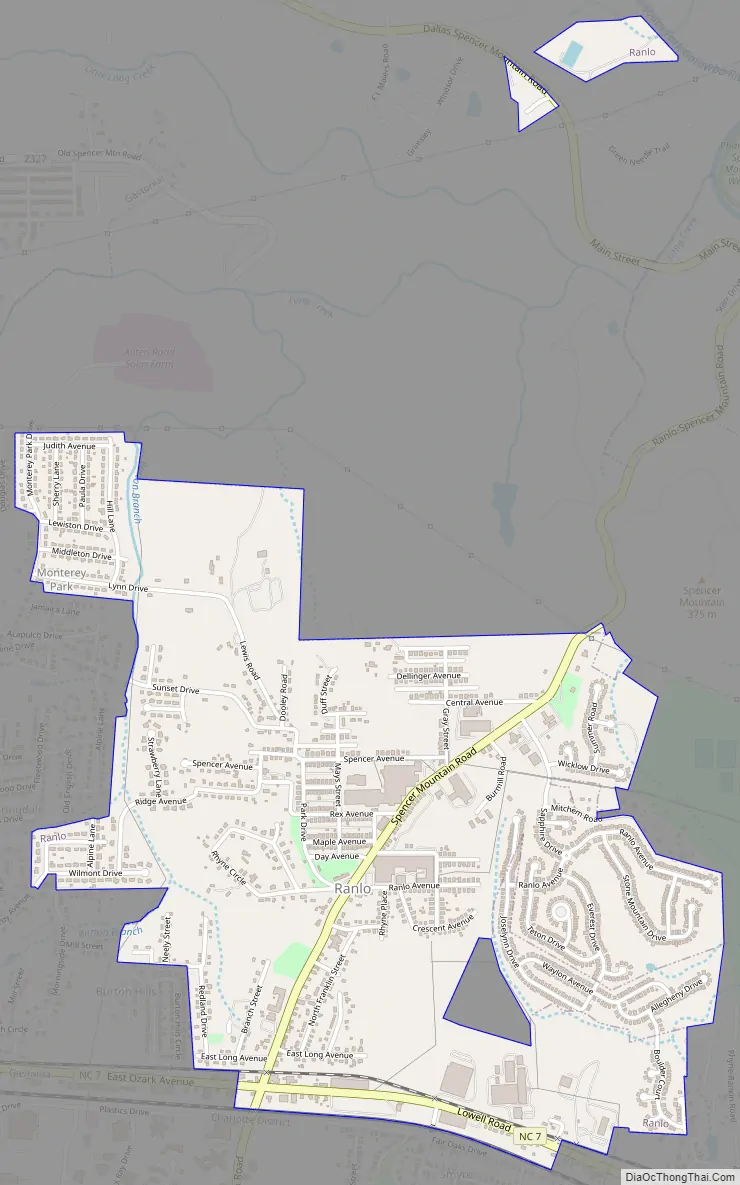
Ranlo Road Map
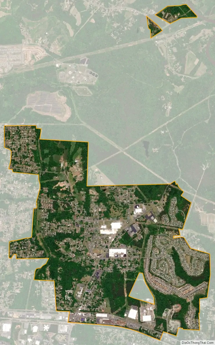
Ranlo city Satellite Map
Geography
Ranlo is located at 35°17′25″N 81°8′1″W / 35.29028°N 81.13361°W / 35.29028; -81.13361 (35.290393, -81.133731).
According to the United States Census Bureau, the town has a total area of 1.82 sq. mi, 1.818 sq. mi is land and 0.002 sq. mi is water.
See also
Map of North Carolina State and its subdivision:- Alamance
- Alexander
- Alleghany
- Anson
- Ashe
- Avery
- Beaufort
- Bertie
- Bladen
- Brunswick
- Buncombe
- Burke
- Cabarrus
- Caldwell
- Camden
- Carteret
- Caswell
- Catawba
- Chatham
- Cherokee
- Chowan
- Clay
- Cleveland
- Columbus
- Craven
- Cumberland
- Currituck
- Dare
- Davidson
- Davie
- Duplin
- Durham
- Edgecombe
- Forsyth
- Franklin
- Gaston
- Gates
- Graham
- Granville
- Greene
- Guilford
- Halifax
- Harnett
- Haywood
- Henderson
- Hertford
- Hoke
- Hyde
- Iredell
- Jackson
- Johnston
- Jones
- Lee
- Lenoir
- Lincoln
- Macon
- Madison
- Martin
- McDowell
- Mecklenburg
- Mitchell
- Montgomery
- Moore
- Nash
- New Hanover
- Northampton
- Onslow
- Orange
- Pamlico
- Pasquotank
- Pender
- Perquimans
- Person
- Pitt
- Polk
- Randolph
- Richmond
- Robeson
- Rockingham
- Rowan
- Rutherford
- Sampson
- Scotland
- Stanly
- Stokes
- Surry
- Swain
- Transylvania
- Tyrrell
- Union
- Vance
- Wake
- Warren
- Washington
- Watauga
- Wayne
- Wilkes
- Wilson
- Yadkin
- Yancey
- Alabama
- Alaska
- Arizona
- Arkansas
- California
- Colorado
- Connecticut
- Delaware
- District of Columbia
- Florida
- Georgia
- Hawaii
- Idaho
- Illinois
- Indiana
- Iowa
- Kansas
- Kentucky
- Louisiana
- Maine
- Maryland
- Massachusetts
- Michigan
- Minnesota
- Mississippi
- Missouri
- Montana
- Nebraska
- Nevada
- New Hampshire
- New Jersey
- New Mexico
- New York
- North Carolina
- North Dakota
- Ohio
- Oklahoma
- Oregon
- Pennsylvania
- Rhode Island
- South Carolina
- South Dakota
- Tennessee
- Texas
- Utah
- Vermont
- Virginia
- Washington
- West Virginia
- Wisconsin
- Wyoming